Peggie Powell's Gorse

Wood, Forest in Herefordshire

England

Peggie Powell's Gorse

Byton Common Some years ago, grazing ceased on Byton Common, although there were ponies on the common when this picture was taken. The common has now changed from downland to dense woodland complete with the dreaded bracken. The first trees to appear were hawthorn followed by oak ash and hazel.
Byton Common Credit: Richard Webb

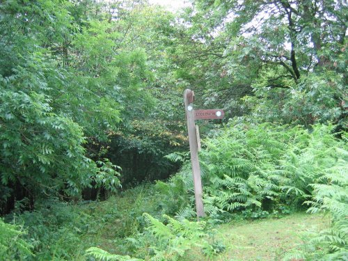
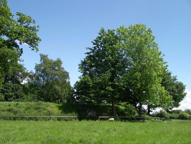
Peggie Powell's Gorse is a picturesque woodland located in the county of Herefordshire, England. Covering an area of approximately 200 acres, it is renowned for its abundance of gorse bushes, which lend the woodland its name. Gorse, also known as furze, is a spiny, evergreen shrub with bright yellow flowers that bloom throughout the year, creating a stunning display of color in the landscape.

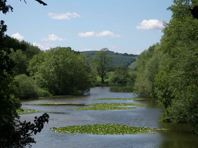
The woodland is situated in a rural area, surrounded by rolling hills and meadows, providing a tranquil and idyllic setting. It is easily accessible by foot or bicycle, with well-maintained paths that wind through the trees, allowing visitors to explore the woodland at their own pace.

Peggie Powell's Gorse is home to a diverse range of flora and fauna. Apart from the gorse bushes, the woodland is also populated by other native tree species such as oak, ash, and birch. This variety of trees supports a rich ecosystem, attracting a wide array of wildlife including birds, insects, and small mammals.

Nature enthusiasts visiting the woodland can enjoy activities such as birdwatching, photography, and nature walks. The peaceful atmosphere and beautiful surroundings make it an ideal spot for relaxation and contemplation. The woodland is also a popular destination for local residents and tourists alike, who come to appreciate the natural beauty that Peggie Powell's Gorse has to offer.

If you have any feedback on the listing, please let us know in the comments section below.

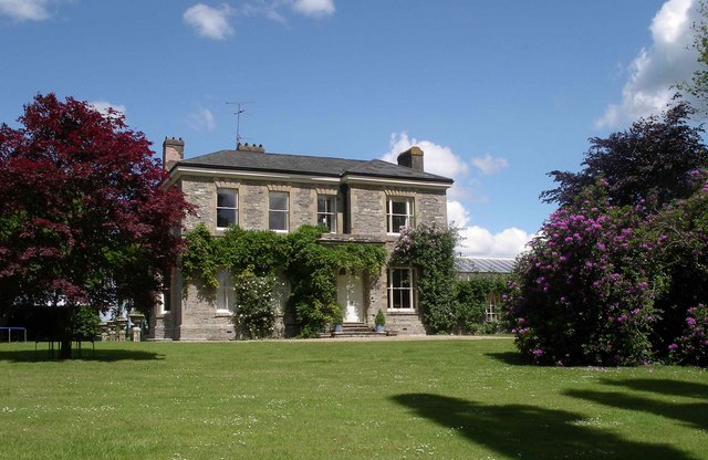
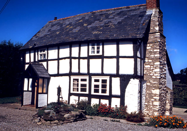
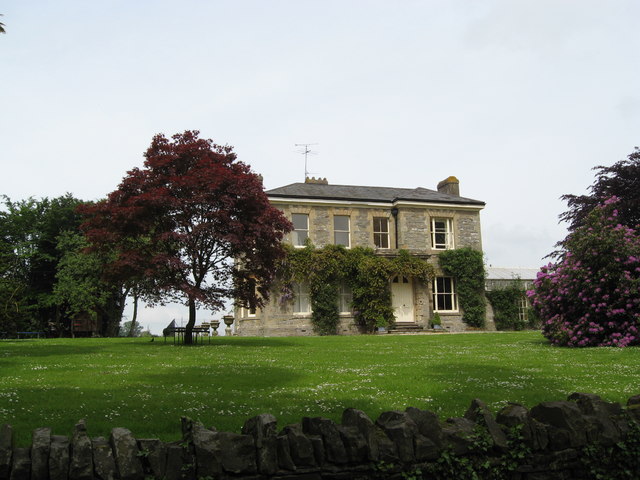
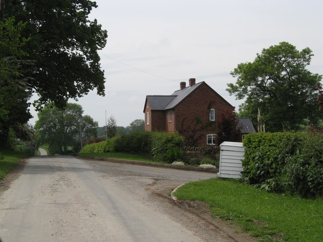
Peggie Powell's Gorse Images

Images are sourced within 2km of 52.26399/-2.8899243 or Grid Reference SO3963. Thanks to Geograph Open Source API. All images are credited.

Byton Common Some years ago, grazing ceased on Byton Common, although there were ponies on the common when this picture was taken. The common has now changed from downland to dense woodland complete with the dreaded bracken. The first trees to appear were hawthorn followed by oak ash and hazel.
Byton Common
Some years ago, grazing ceased on Byton Common, although there were ponies on the common when this picture was taken. The common has now changed from downland to dense woodland complete with the dreaded bracken. The first trees to appear were hawthorn followed by oak ash and hazel.
Shobdon Hill A long straight forest road near the top of Shobdon Hill. A lot of the forest has been recently felled, the trees being just over 30 years old. (I can remember the last time the felled the woods in Shobdon)
Shobdon Hill
A long straight forest road near the top of Shobdon Hill. A lot of the forest has been recently felled, the trees being just over 30 years old. (I can remember the last time the felled the woods in Shobdon)
Byton Common Ponies on the Mortimer Trail
Byton Common
Ponies on the Mortimer Trail
Shobdon Hill Wood The Mortimer Trail runs along the forestry road which runs along the top of the long ridge which extends across two full squares. Large areas of conifers cleared but broadleaves left.
Shobdon Hill Wood
The Mortimer Trail runs along the forestry road which runs along the top of the long ridge which extends across two full squares. Large areas of conifers cleared but broadleaves left.
Orchard in Shobdon There is supposed to be a footpath diagonally across this field.
Orchard in Shobdon
There is supposed to be a footpath diagonally across this field.
View from bench seat above Byton The bench is located on the Mortimer Trail, the view is quite obscured by trees, as many views are in the Marches.
View from bench seat above Byton
The bench is located on the Mortimer Trail, the view is quite obscured by trees, as many views are in the Marches.
Pond at Lower Woodhouse Small pond adjacent to Lower Woodhouse farm. The historic farmhouse and farm buildings have been recently renovated and converted into dwellings.
Pond at Lower Woodhouse
Small pond adjacent to Lower Woodhouse farm. The historic farmhouse and farm buildings have been recently renovated and converted into dwellings.
Belgate Farm and Shobdon Hill Wood Mixed farm on slopes of Shobdon Hill.
Belgate Farm and Shobdon Hill Wood
Mixed farm on slopes of Shobdon Hill.
Uphampton Farm House This impressive Victorian house was built by Lord Bateham on his estate at Shobdon in 1858 as part of the development of a model farm. It was occupied by his farm steward.
Uphampton Farm House
This impressive Victorian house was built by Lord Bateham on his estate at Shobdon in 1858 as part of the development of a model farm. It was occupied by his farm steward.
Motte at Shobdon Court This Scheduled Monument is presumed to be an early Norman castle site. The flat topped mound was landscaped with trees in the 18th century. Photograph shows the south-facing bank.
Motte at Shobdon Court
This Scheduled Monument is presumed to be an early Norman castle site. The flat topped mound was landscaped with trees in the 18th century. Photograph shows the south-facing bank.
Canal Pool at Shobdon Park This small lake is probably a natural feature but it was landscaped in the 18th Century within the deer park of Shobdon Court.
Canal Pool at Shobdon Park
This small lake is probably a natural feature but it was landscaped in the 18th Century within the deer park of Shobdon Court.
Black and white cottage in Shobdon
Shobdon - disused filling station
Shobdon - The Woodhouse
Shobdon - Woodhouse junction from The Woodhouse 2008 Welsh Water busy digging holes.
Shobdon - Woodhouse junction from The Woodhouse 2008
Welsh Water busy digging holes.
Shobdon post office
Shobdon post office
Uphampton Farm - principal house
House near Shobdon Hill Wood
Show me another place!

Peggie Powell's Gorse is located at Grid Ref: SO3963 (Lat: 52.26399, Lng: -2.8899243)

Unitary Authority: County of Herefordshire

Police Authority: West Mercia

What 3 Words

///detriment.tile.standard. Near Kinsham, Herefordshire

Related Wikis

St John's Church, Shobdon

The Church of St John is a Church of England parish church at Shobdon in the English county of Herefordshire. Of 14th century origins, the church was...

Shobdon Court

Shobdon Court was an 18th-century English country house in the village of Shobdon, near Leominster, Herefordshire. Although the main house has since been...

Shobdon Priory

Shobdon Priory was a priory in Herefordshire, England at grid reference SO40106284.The church dated from 1140 and was demolished in the 18th century....

Shobdon

Shobdon is a village and civil parish in Herefordshire, England, about 15 miles north of Hereford, six miles west of Leominster, and 2 miles southwest...

Nearby Amenities

Located within 500m of 52.26399,-2.8899243
The data included in this document is from www.openstreetmap.org. The data is made available under ODbL.

Have you been to Peggie Powell's Gorse?

Leave your review of Peggie Powell's Gorse below (or comments, questions and feedback).