Nicholas Wood
Wood, Forest in Lancashire South Lakeland
England
Nicholas Wood
Nicholas Wood, Lancashire, also known as Wood or Forest, is a small village located in the county of Lancashire, England. Situated amidst the picturesque countryside, this rural settlement offers a tranquil and idyllic environment for its residents.
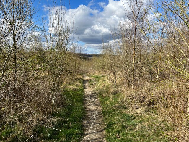
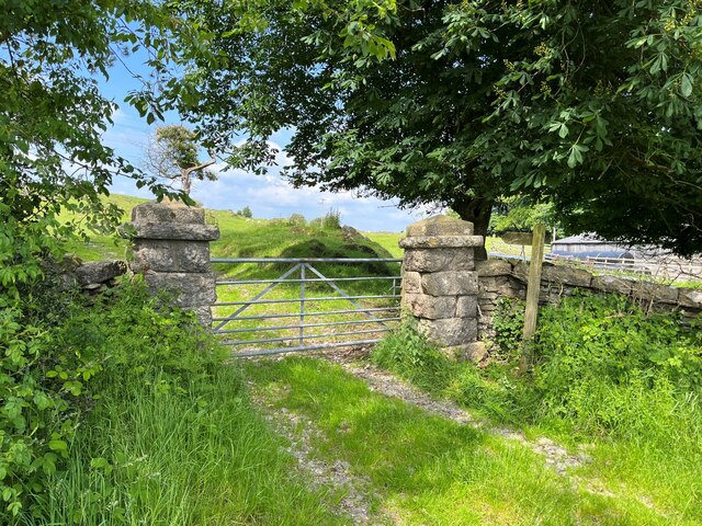
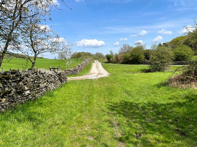
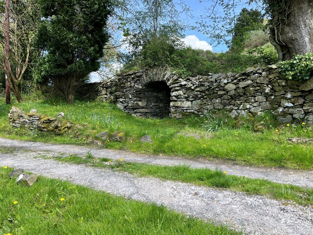
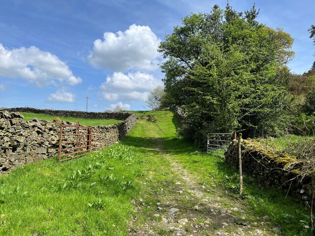
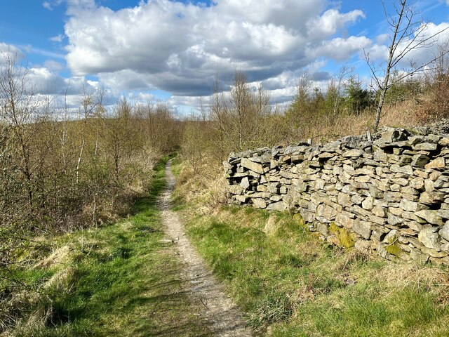
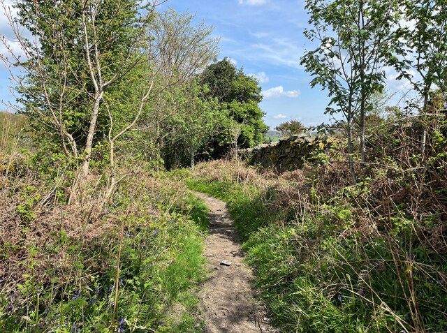
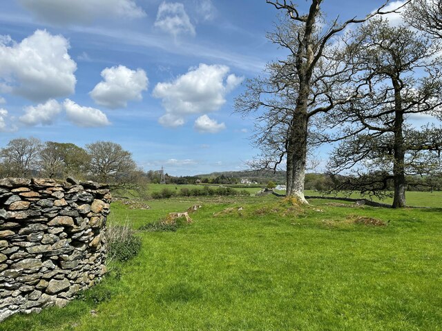
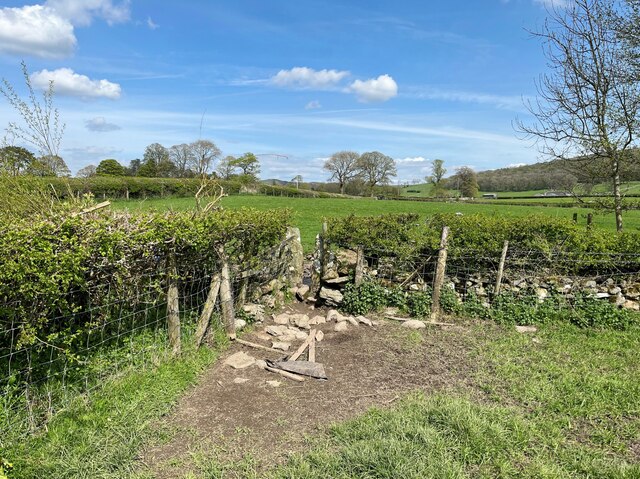
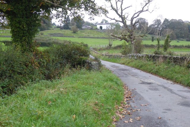
Nicholas Wood is characterized by its lush greenery and abundant woodland areas, which provide a natural haven for wildlife and a perfect setting for leisurely walks and outdoor activities. The village is surrounded by an enchanting forest, making it a popular destination for nature enthusiasts and hikers who can explore its diverse flora and fauna.
The community in Nicholas Wood is tight-knit and friendly, creating a warm and welcoming atmosphere for both locals and visitors. The village is home to a small population, and the residents take pride in maintaining its charm and preserving its natural beauty.
Despite its rural location, Nicholas Wood is well-connected to the nearby towns and cities. It is within easy reach of the bustling city of Manchester, offering residents the best of both worlds – a peaceful countryside lifestyle with access to urban amenities.
The village has limited amenities of its own, with a small local shop catering to basic needs. However, residents can find a wider range of services and facilities in the nearby towns, including schools, healthcare centers, and recreational activities.
Overall, Nicholas Wood, Lancashire, is a quaint and picturesque village that embraces its natural surroundings, providing a serene and peaceful living environment for its residents.
If you have any feedback on the listing, please let us know in the comments section below.
Nicholas Wood Images
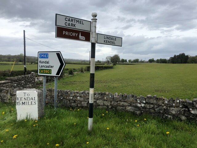
Images are sourced within 2km of 54.214188/-2.9554872 or Grid Reference SD3780. Thanks to Geograph Open Source API. All images are credited.


Nicholas Wood is located at Grid Ref: SD3780 (Lat: 54.214188, Lng: -2.9554872)
Administrative County: Cumbria
District: South Lakeland
Police Authority: Cumbria
What 3 Words
///handrail.motels.vaccines. Near Grange-over-Sands, Cumbria
Nearby Locations
Related Wikis

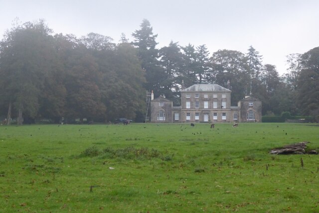
Aynsome Manor
Aynsome Manor is a country house hotel in Cartmel, Cumbria, northwestern England, in the Lake District. It is set in the Vale of Cartmel, with views of...

Cartmel Peninsula
Cartmel Peninsula is a peninsula in Cumbria in England. It juts in a southerly direction into Morecambe Bay, bordered by the estuaries of the River Leven...
Cartmel Racecourse
Cartmel Racecourse is a small national hunt racecourse in the village of Cartmel, now in the ceremonial county of Cumbria, historically in Lancashire....
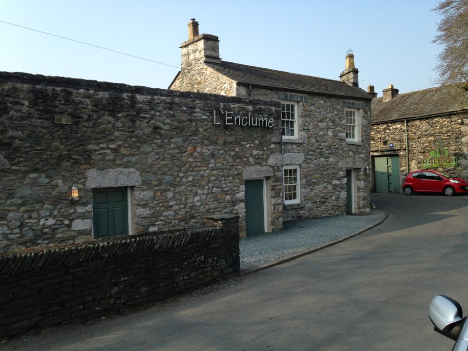
L'Enclume
L'Enclume (pronounced [lɑ̃.klym], French for "the anvil") is a French restaurant opened in 2002 in Cartmel, Cumbria, England, run by chef Simon Rogan and...
Nearby Amenities
Located within 500m of 54.214188,-2.9554872Have you been to Nicholas Wood?
Leave your review of Nicholas Wood below (or comments, questions and feedback).