Beck Side

Settlement in Lancashire South Lakeland

England

Beck Side

Old signpost and milestone At the junction of Green Lane (A590) and Pease Close Lane
Old signpost and milestone Credit: Eirian Evans

Beck Side is a charming village located in the county of Lancashire, England. Situated in the picturesque Ribble Valley, it is surrounded by stunning natural beauty and offers a tranquil setting for residents and visitors alike. The village is part of the larger civil parish of Balderstone and is known for its close-knit community and idyllic rural lifestyle.

The village is home to a population of around 500 people and is renowned for its historic architecture, with several buildings dating back to the 18th and 19th centuries. These beautifully preserved structures give Beck Side a distinctive character, adding to its appeal.

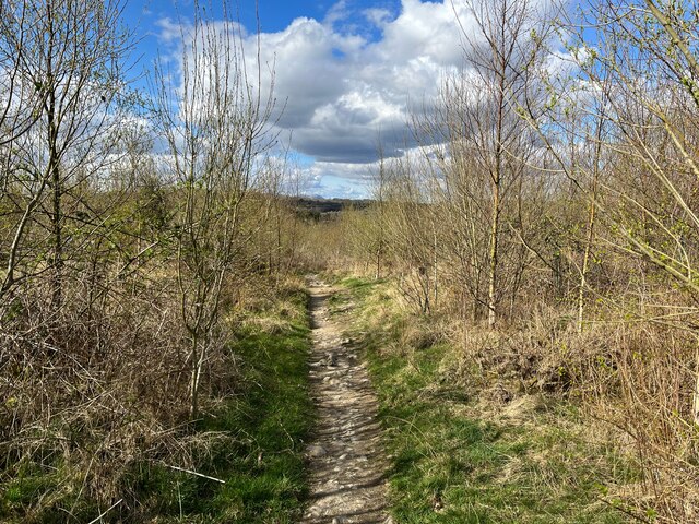
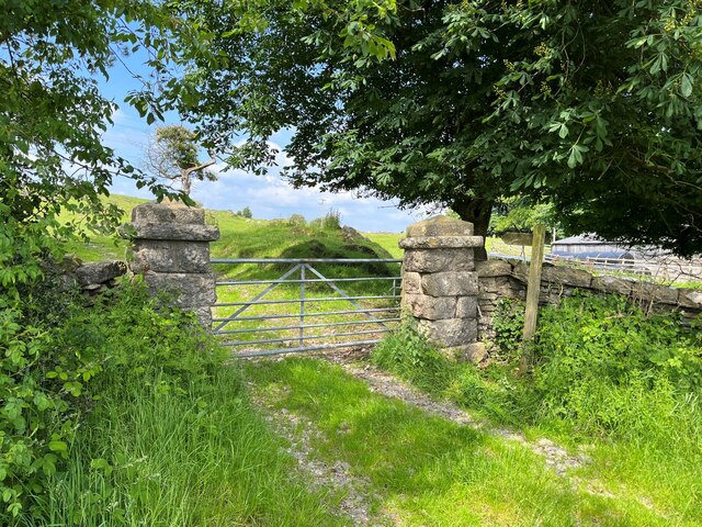
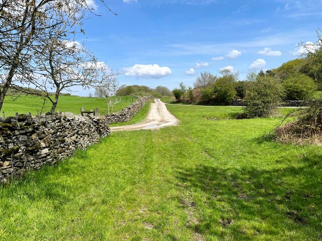
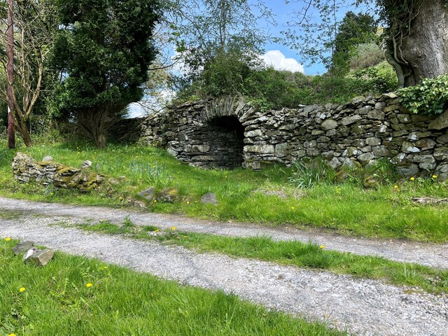
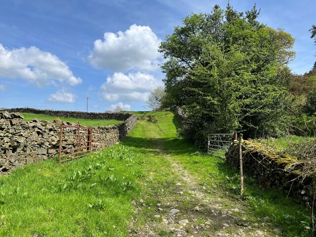
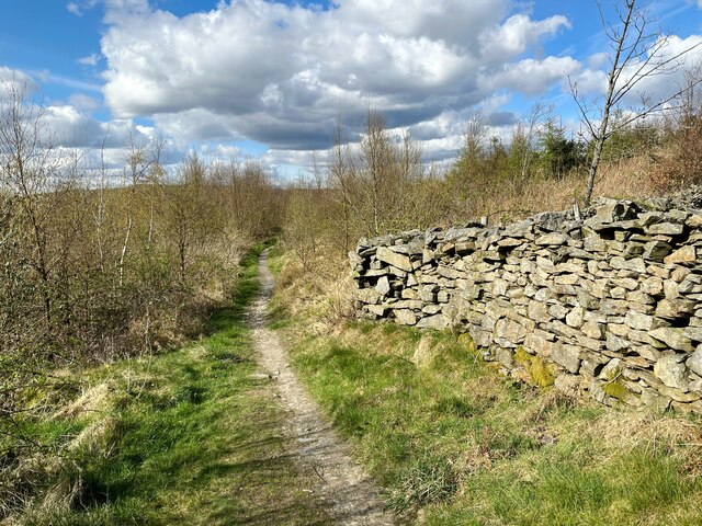
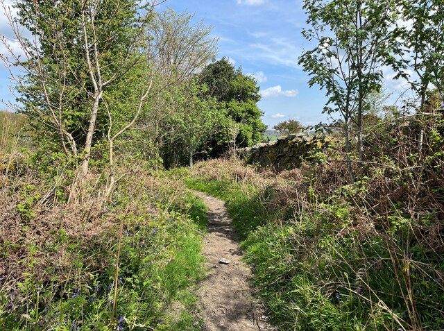
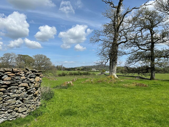
Nature lovers will find much to enjoy in Beck Side, as the village is nestled in an area of outstanding natural beauty. The surrounding countryside offers an array of scenic walking trails, providing opportunities to explore the rolling hills, lush green fields, and ancient woodlands that define the landscape.

Despite its rural setting, Beck Side benefits from good transport links, with easy access to nearby towns and cities. The village is just a short drive away from the market town of Clitheroe, where residents can find a range of amenities, including shops, schools, and healthcare facilities.

In summary, Beck Side is a quaint and charming village in Lancashire, offering a delightful rural lifestyle and a strong sense of community. With its historic architecture and stunning natural surroundings, it is a place that captures the hearts of both residents and visitors.

If you have any feedback on the listing, please let us know in the comments section below.
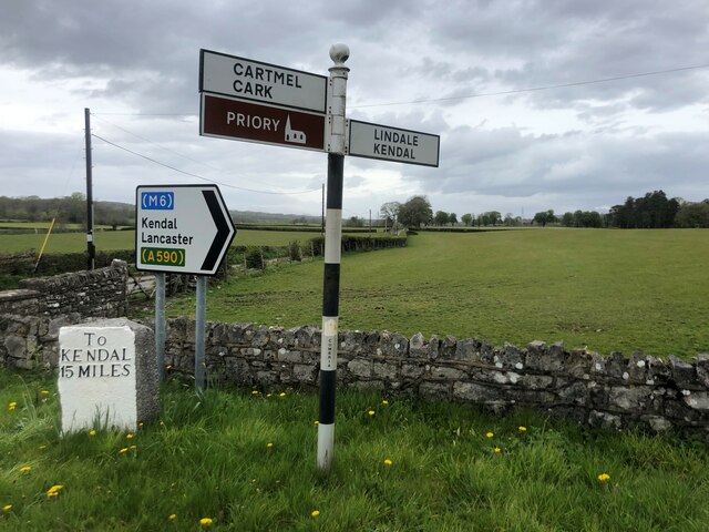
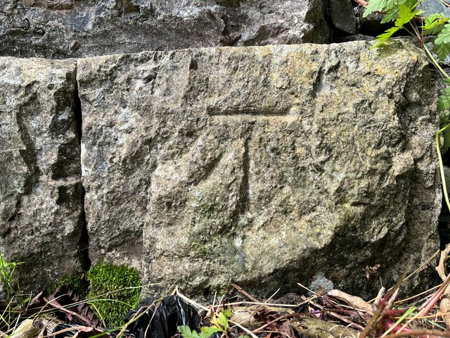
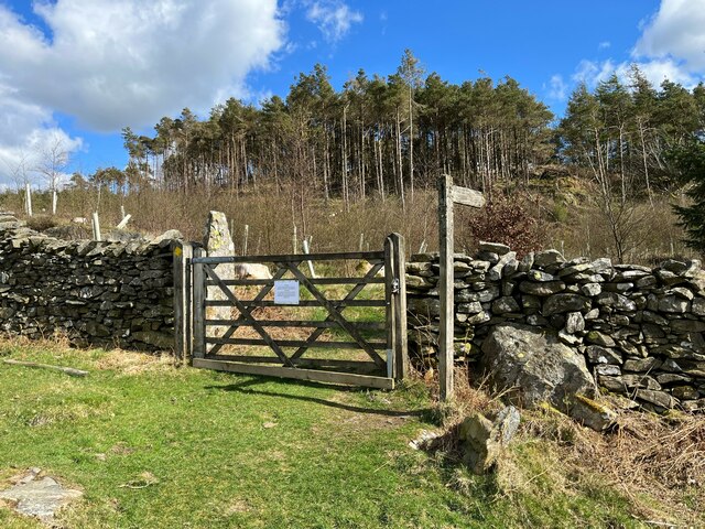
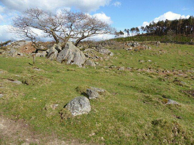
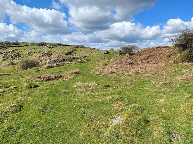
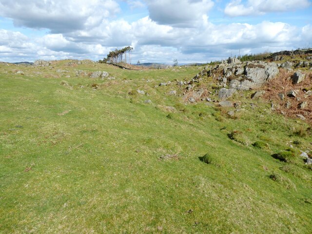
Beck Side Images

Images are sourced within 2km of 54.211845/-2.9675009 or Grid Reference SD3780. Thanks to Geograph Open Source API. All images are credited.

Old signpost and milestone At the junction of Green Lane (A590) and Pease Close Lane
Old signpost and milestone
At the junction of Green Lane (A590) and Pease Close Lane
Public bridleway on Great Allotment
Road near High Gateside The minor road from Low Wood to Cartmel and Field Broughton.
Road near High Gateside
The minor road from Low Wood to Cartmel and Field Broughton.
Gateway near High Gateside This gateway is at the end of a little used access drive to Greenhurst.  The gate posts are made from blocks of limestone.
A public footpath runs through the gate and there is an Ordnance Survey cut benchmark at the bottom of the right hand gatepost (photograph <a href="https://www.geograph.org.uk/photo/7195628">SD3781 : Benchmark, High Gateside</a>).
Gateway near High Gateside
This gateway is at the end of a little used access drive to Greenhurst. The gate posts are made from blocks of limestone. A public footpath runs through the gate and there is an Ordnance Survey cut benchmark at the bottom of the right hand gatepost (photograph SD3781 : Benchmark, High Gateside).
Benchmark, High Gateside Detail of an Ordnance Survey cut benchmark on the east gatepost of the driveway to Greenhurst.  The benchmark marks a height of 106.2786m above Ordnance Datum Newlyn last verified in 1972 (location photograph <a href="https://www.geograph.org.uk/photo/7195619">SD3781 : Gateway near High Gateside</a>).
Benchmark, High Gateside
Detail of an Ordnance Survey cut benchmark on the east gatepost of the driveway to Greenhurst. The benchmark marks a height of 106.2786m above Ordnance Datum Newlyn last verified in 1972 (location photograph SD3781 : Gateway near High Gateside).
Cumbria Coastal Way, Speel Bank The gate, on the footpath between Grassgarth and Speel Bank Farm is, like almost all the gates on and adjacent to public rights of way in this area, marred by an unwelcoming sign warning against trespass.
Far from the sea and more than 150m (500 feet) above sea level, this footpath is nevertheless the route of The Cumbria Coastal Way and the link between established sections of the England Coast Path. This section of the England Coast Path has not yet been defined due to protracted negotiations with Holker Estates.
Cumbria Coastal Way, Speel Bank
The gate, on the footpath between Grassgarth and Speel Bank Farm is, like almost all the gates on and adjacent to public rights of way in this area, marred by an unwelcoming sign warning against trespass. Far from the sea and more than 150m (500 feet) above sea level, this footpath is nevertheless the route of The Cumbria Coastal Way and the link between established sections of the England Coast Path. This section of the England Coast Path has not yet been defined due to protracted negotiations with Holker Estates.
Rocks near Speel Bank The small wooden waymark post to the left of the photograph marks the route of the public footpath from Speel Bank Farm to Grassgarth.  Far from the sea and more than 150m (500 feet) above sea level, this footpath is nevertheless the route of The Cumbria Coastal Way and the link between established sections of the England Coast Path. This section of the England Coast Path has not yet been defined due to negotiations with Holker Estates proving difficult to conclude.
Rocks near Speel Bank
The small wooden waymark post to the left of the photograph marks the route of the public footpath from Speel Bank Farm to Grassgarth. Far from the sea and more than 150m (500 feet) above sea level, this footpath is nevertheless the route of The Cumbria Coastal Way and the link between established sections of the England Coast Path. This section of the England Coast Path has not yet been defined due to negotiations with Holker Estates proving difficult to conclude.
Footpath near Speel Bank This is the route of the public footpath from Speel Bank Farm to Grassgarth.  Far from the sea and more than 150m (500 feet) above sea level, this upland footpath is the route of The Cumbria Coastal Way and the link between established sections of the England Coast Path.  This section of the England Coast Path has not yet been defined due to difficulties in negotiating a satisfactory coastal route through land managed by Holker Estates.
Footpath near Speel Bank
This is the route of the public footpath from Speel Bank Farm to Grassgarth. Far from the sea and more than 150m (500 feet) above sea level, this upland footpath is the route of The Cumbria Coastal Way and the link between established sections of the England Coast Path. This section of the England Coast Path has not yet been defined due to difficulties in negotiating a satisfactory coastal route through land managed by Holker Estates.
Rocky pasture near Speel Bank The stand of trees have been left by felling in the Great Allotment plantation.
Rocky pasture near Speel Bank
The stand of trees have been left by felling in the Great Allotment plantation.
The Bigland road near Beck Side Also known as Croftside, this is the minor road from Cartmel to Haverthwaite.
The Bigland road near Beck Side
Also known as Croftside, this is the minor road from Cartmel to Haverthwaite.
Public footpath at Wall Nook Beside the garden wall of Wall Nook Farm Cottage, this is the public footpath from Hill to Beck Side.
Public footpath at Wall Nook
Beside the garden wall of Wall Nook Farm Cottage, this is the public footpath from Hill to Beck Side.
Old kiln at Beck Side This kiln is shown on the 1890 edition of the Ordnance Survey map as an old limekiln.
Old kiln at Beck Side
This kiln is shown on the 1890 edition of the Ordnance Survey map as an old limekiln.
Lane near Beck Side The lane gives access to fields and is also a public bridleway from Beck Side to Wood Broughton.
Lane near Beck Side
The lane gives access to fields and is also a public bridleway from Beck Side to Wood Broughton.
Path on School Allotment This is the public bridleway from Over Ridge to Great Allotment, here where it leads from School Allotment into Great Allotment.
Path on School Allotment
This is the public bridleway from Over Ridge to Great Allotment, here where it leads from School Allotment into Great Allotment.
Bridleway on School Allotment The path is the public bridleway that runs from Great Allotment to Over Ridge.
Bridleway on School Allotment
The path is the public bridleway that runs from Great Allotment to Over Ridge.
Track near Beck Side The track a public bridleway from Beck Side to Wood Broughton.
The gate marks the boundary between the civil parishes of Lower Allithwaite and Broughton East beyond the gate; it is also the boundary of the Lake District National Park.
Track near Beck Side
The track a public bridleway from Beck Side to Wood Broughton. The gate marks the boundary between the civil parishes of Lower Allithwaite and Broughton East beyond the gate; it is also the boundary of the Lake District National Park.
Lane near Beck Side The lane is a public bridleway from Beck Side to Wood Broughton.
Lane near Beck Side
The lane is a public bridleway from Beck Side to Wood Broughton.
Field near Wood Broughton
Show me another place!

Beck Side is located at Grid Ref: SD3780 (Lat: 54.211845, Lng: -2.9675009)

Administrative County: Cumbria

District: South Lakeland

Police Authority: Cumbria

What 3 Words

///stand.selection.index. Near Grange-over-Sands, Cumbria

Related Wikis

Cartmel Racecourse

Cartmel Racecourse is a small national hunt racecourse in the village of Cartmel, now in the ceremonial county of Cumbria, historically in Lancashire....

Cartmel Peninsula

Cartmel Peninsula is a peninsula in Cumbria in England. It juts in a southerly direction into Morecambe Bay, bordered by the estuaries of the River Leven...
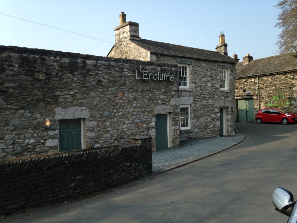
L'Enclume

L'Enclume (pronounced [lɑ̃.klym], French for "the anvil") is a restaurant opened in 2002 in Cartmel, Cumbria, England, run by chef Simon Rogan and his...

Cartmel Priory Gatehouse

Cartmel Priory Gatehouse is a medieval building located at Cartmel, Grange-over-Sands, Cumbria, England. It is listed Grade II* and is part of a scheduled...

Aynsome Manor

Aynsome Manor is a country house hotel in Cartmel, Cumbria, northwestern England, in the Lake District. It is set in the Vale of Cartmel, with views of...

Cartmel Priory

Cartmel Priory church serves as the parish church of Cartmel, Cumbria, England (formerly in Lancashire). == Priory == === Foundation === The priory was founded...

Cartmel

Cartmel is a village in Cumbria, England, 2+1⁄4 miles (3.5 kilometres) northwest of Grange-over-Sands close to the River Eea. The village takes its name...

Cartmel Priory School

Cartmel Priory CofE School is a mixed 11-16 secondary school and academy in Cartmel, Cumbria, England. == History == The school was opened in 1958 on land...

Nearby Amenities

Located within 500m of 54.211845,-2.9675009
Barrier: stile
Bicycle: no
Foot: yes
Horse: no
Material: stone
Motor Vehicle: no
Stile: stepover
Lat/Long: 54.2113349/-2.9645723
Barrier: stile
Bicycle: no
Foot: yes
Horse: no
Material: stone
Motor Vehicle: no
Stile: stepover
Lat/Long: 54.2119898/-2.9647038
Barrier: stile
Bicycle: no
Foot: yes
Horse: no
Stile: squeezer
Lat/Long: 54.2147311/-2.9671812
Barrier: stile
Lat/Long: 54.2139739/-2.9663947
Power: pole
Lat/Long: 54.2116065/-2.9639586
Power: pole
Lat/Long: 54.2109326/-2.9620895
Power: pole
Lat/Long: 54.2105154/-2.9609308
Power: pole
Lat/Long: 54.214244/-2.9727087
Power: pole
Lat/Long: 54.2137355/-2.9716838
Power: pole
Lat/Long: 54.2133692/-2.9704735
Power: pole
Lat/Long: 54.212959/-2.9691079
Power: pole
Lat/Long: 54.212556/-2.9677699
Power: pole
Lat/Long: 54.2121648/-2.9664794
Power: pole
Lat/Long: 54.2118981/-2.9653368
Power: pole
Lat/Long: 54.2130762/-2.9674767
Power: pole
Lat/Long: 54.2133853/-2.9687696
Power: pole
Lat/Long: 54.2137268/-2.970218
Power: pole
Lat/Long: 54.2138967/-2.9709897
Power: pole
Lat/Long: 54.2141868/-2.97221
Power: pole
Lat/Long: 54.2148623/-2.9710774
Power: pole
Lat/Long: 54.2135202/-2.9733476
Power: pole
Lat/Long: 54.2128359/-2.9745303
The data included in this document is from www.openstreetmap.org. The data is made available under ODbL.

Have you been to Beck Side?

Leave your review of Beck Side below (or comments, questions and feedback).