Angle Wood
Wood, Forest in Lancashire South Lakeland
England
Angle Wood

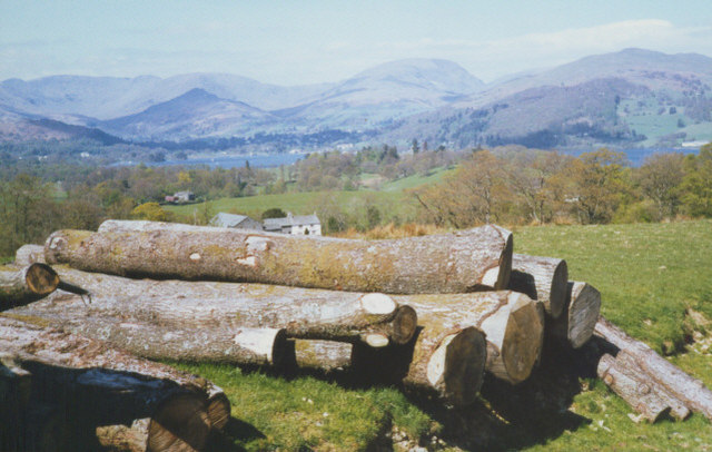
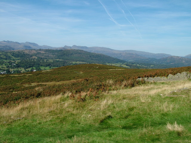
Angle Wood, located in Lancashire, England, is a picturesque woodland area renowned for its natural beauty and abundant wildlife. Spanning approximately 100 acres, this enchanting forest is a popular destination for nature lovers, hikers, and photographers alike.
The wood boasts a diverse range of tree species, including oak, beech, birch, and ash, which create a dense canopy overhead, providing a cool and tranquil atmosphere. The forest floor is carpeted with a rich variety of wildflowers, such as bluebells and primroses, adding a splash of color to the landscape.
Angle Wood is also home to an array of wildlife, making it an ideal spot for wildlife enthusiasts. Visitors can spot various bird species, including woodpeckers, owls, and thrushes, as well as small mammals like rabbits, squirrels, and foxes. The presence of a small river running through the wood further enhances its appeal, attracting aquatic creatures like frogs and newts.
Numerous walking trails meander through the forest, allowing visitors to explore its hidden corners and discover its natural wonders. These paths are well-maintained and suitable for all ages and fitness levels. Additionally, there are designated picnic areas and benches scattered throughout the wood, providing a perfect spot to rest and enjoy a packed lunch amidst the serenity of nature.
Angle Wood offers a peaceful retreat from the hustle and bustle of everyday life, inviting individuals to immerse themselves in its tranquil ambiance and reconnect with the natural world. Whether it is a leisurely stroll, bird-watching, or simply appreciating the beauty of the surroundings, this Lancashire gem is a must-visit destination for anyone seeking solace in nature.
If you have any feedback on the listing, please let us know in the comments section below.
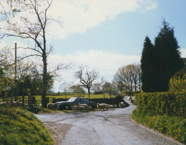
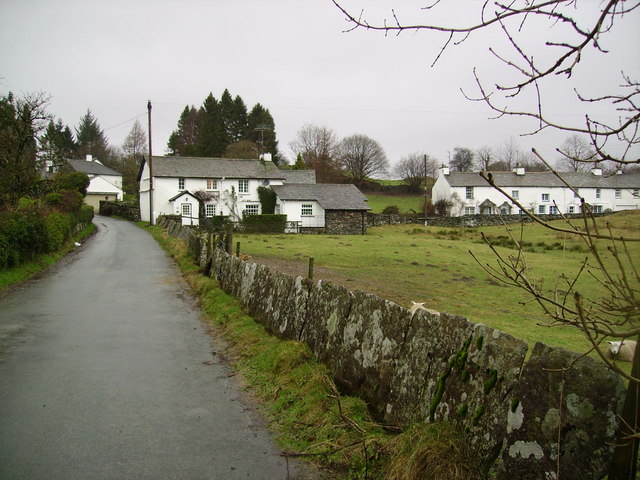
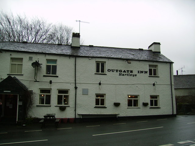
Angle Wood Images
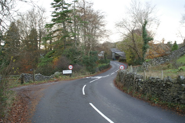
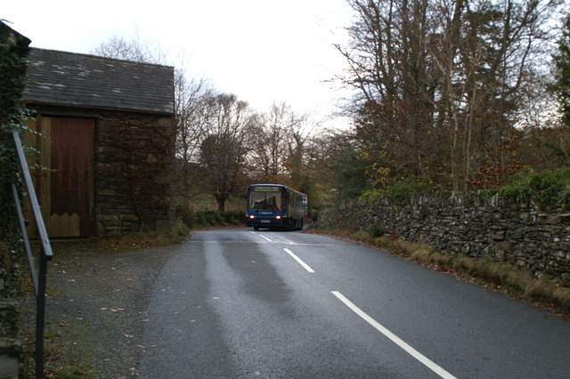
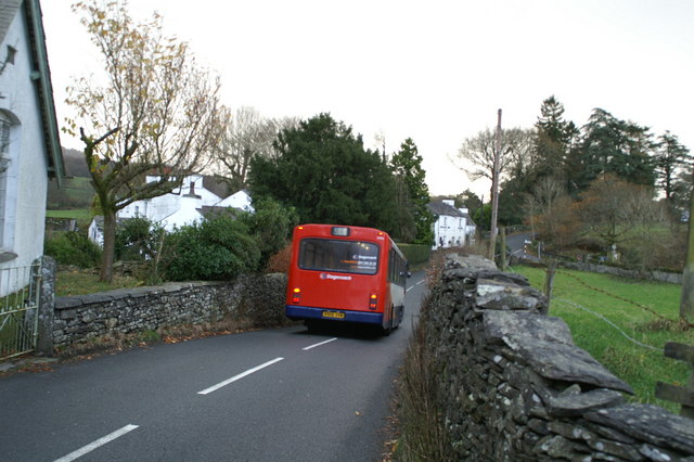
Images are sourced within 2km of 54.403799/-2.9801642 or Grid Reference NY3601. Thanks to Geograph Open Source API. All images are credited.

Angle Wood is located at Grid Ref: NY3601 (Lat: 54.403799, Lng: -2.9801642)
Administrative County: Cumbria
District: South Lakeland
Police Authority: Cumbria
What 3 Words
///passes.spacing.ghosts. Near Ambleside, Cumbria
Nearby Locations
Related Wikis

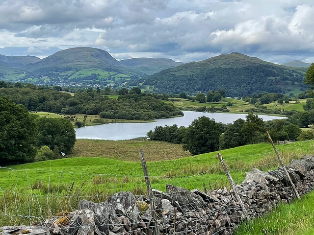
Blelham Tarn
Blelham Tarn is a large valley tarn in the Lake District of England, to the north of the hill Latterbarrow. The settlements of Outgate, Low Wray and High...
Wray Castle
Wray Castle is a Victorian neo-gothic building at Claife in Cumbria within the boundaries of the historic county of Lancashire. The house and grounds have...

RMS Wray Castle
RMS Wray Castle was a training college for Merchant Navy radio officers based at Wray Castle in the Lake District, from 1958 to 1998.At 11:40 p.m., on...

Brathay
Brathay is a parish in Cumbria, England. Brathay Hall and the surrounding estate belong to a charity, Brathay Trust. == See also == Listed buildings in...

Holy Trinity Church, Brathay
Holy Trinity Church is in Bog Lane in the village of Brathay, Cumbria, England. It is an active Anglican parish church in the deanery of Windermere, the...

Clappersgate
Clappersgate is a village in the South Lakeland district, in the county of Cumbria, England. Clappersgate is located on the B5286 road and on the River...

Ambleside Roman Fort
Ambleside Roman Fort is the modern name given to the remains of a fort of the Roman province of Britannia. The ruins have been tentatively identified as...

Langdale Chase
Langdale Chase, Windermere is a house of historical significance and is listed on the English heritage register. It consists of six acres of landscaped...
Nearby Amenities
Located within 500m of 54.403799,-2.9801642Have you been to Angle Wood?
Leave your review of Angle Wood below (or comments, questions and feedback).