Brathay Plantation

Wood, Forest in Lancashire South Lakeland

England

Brathay Plantation

OS Cut Mark - High Wray, Beyond Fields Fm, Outbuilding <span class="nowrap"><a title="https://www.bench-marks.org.uk/bm56690" rel="nofollow ugc noopener" href="https://www.bench-marks.org.uk/bm56690">Link</a><img style="margin-left:2px;" alt="External link" title="External link - shift click to open in new window" src="https://s1.geograph.org.uk/img/external.png" width="10" height="10"/></span>
OS Cut Mark - High Wray, Beyond Fields Fm, Outbuilding Credit: thejackrustles

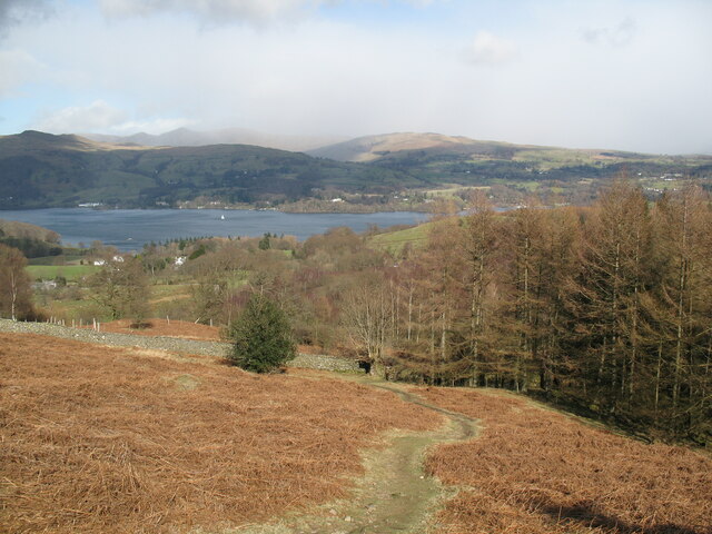
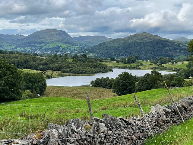
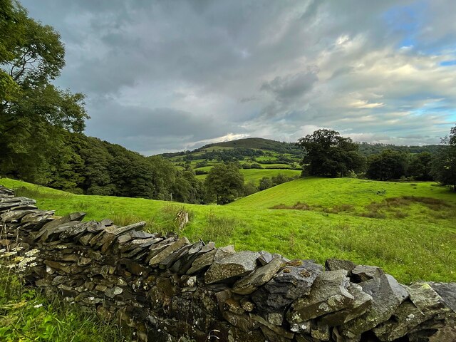
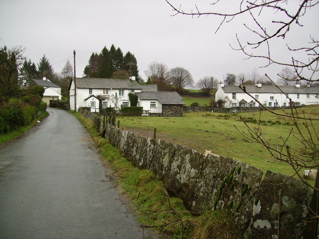
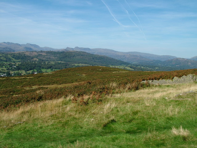
Brathay Plantation is a picturesque wood located in the county of Lancashire, England. Situated near the village of Ambleside, within the Lake District National Park, this enchanting forest covers an area of approximately 500 acres. The plantation is surrounded by stunning natural beauty, with rolling hills, meandering streams, and breathtaking views of the nearby Brathay Lake.

This woodland is predominantly composed of native tree species, including oak, birch, and Scots pine. The dense canopy created by these majestic trees provides a haven for a diverse range of flora and fauna. Bluebells, wild garlic, and ferns carpet the forest floor, adding to its ethereal charm.

Visitors to Brathay Plantation can explore the woodland along a network of well-maintained footpaths and trails, allowing them to immerse themselves in the tranquility of nature. These paths offer opportunities for leisurely walks, jogging, and even cycling, making it a popular destination for outdoor enthusiasts.

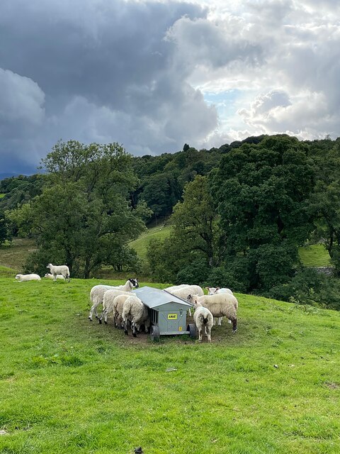
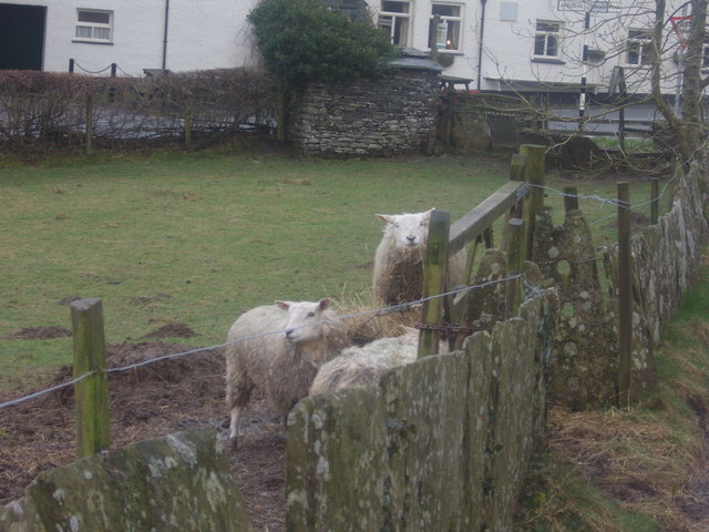
The plantation also serves as a habitat for various wildlife species. Red squirrels, roe deer, and a variety of bird species can be spotted within the forest, providing ample opportunities for wildlife enthusiasts and birdwatchers alike.

Brathay Plantation is not only a haven for nature lovers but also an important site for conservation efforts. The management of the wood focuses on sustainable practices, ensuring the long-term health and preservation of the ecosystem.

Overall, Brathay Plantation is a natural gem in Lancashire, offering visitors a chance to escape the hustle and bustle of everyday life and immerse themselves in the serenity of this enchanting woodland.

If you have any feedback on the listing, please let us know in the comments section below.

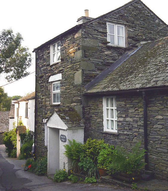
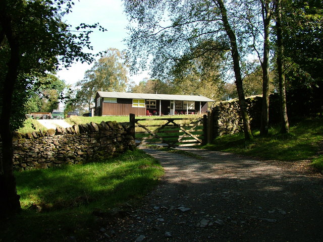
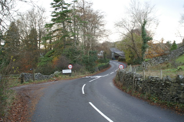
Brathay Plantation Images

Images are sourced within 2km of 54.402079/-2.9806162 or Grid Reference NY3601. Thanks to Geograph Open Source API. All images are credited.

OS Cut Mark - High Wray, Beyond Fields Fm, Outbuilding <span class="nowrap"><a title="https://www.bench-marks.org.uk/bm56690" rel="nofollow ugc noopener" href="https://www.bench-marks.org.uk/bm56690">Link</a><img style="margin-left:2px;" alt="External link" title="External link - shift click to open in new window" src="https://s1.geograph.org.uk/img/external.png" width="10" height="10"/></span>
OS Cut Mark - High Wray, Beyond Fields Fm, Outbuilding
Path above Waterson Intake The path is the public footpath from Latterbarrow to High Wray.
Windermere is in the middle distance and there is a snow shower over the Kentmere Fells.
Path above Waterson Intake
The path is the public footpath from Latterbarrow to High Wray. Windermere is in the middle distance and there is a snow shower over the Kentmere Fells.
Wall and fields above Blelham Tarn
Farmland near Outgate The distant hill is Latterbarrow.
Farmland near Outgate
The distant hill is Latterbarrow.
Dinner time! An evening meal for these sheep near Outgate.
Dinner time!
An evening meal for these sheep near Outgate.
Outgate Inn Public house & restaurant in Outgate
Outgate Inn
Public house & restaurant in Outgate
Summit of Latterbarrow
log pile near High Wray A pile of logs left just below the woodland above High Wray, view towards the north end of Windermere.
log pile near High Wray
A pile of logs left just below the woodland above High Wray, view towards the north end of Windermere.
Sheep herding, High Wray
Outgate Another example of slate being used for fencing.These days I imagine posts and wire may be cheaper but not as pretty or long lasting as slate.
Outgate
Another example of slate being used for fencing.These days I imagine posts and wire may be cheaper but not as pretty or long lasting as slate.
Outgate Inn At Outgate. Sad to see the Hartleys sign as I have still not got over the Brewery being taken over by Robinson's many years ago. Hartleys Bitter (they no longer brew ordinary Bitter) was nectar of the gods when originally brewed in Ulverston. Traditional Lakeland beer brewed in Manchester? Well I suppose they took the water first.
Outgate Inn
At Outgate. Sad to see the Hartleys sign as I have still not got over the Brewery being taken over by Robinson's many years ago. Hartleys Bitter (they no longer brew ordinary Bitter) was nectar of the gods when originally brewed in Ulverston. Traditional Lakeland beer brewed in Manchester? Well I suppose they took the water first.
Post Box, Outgate Handily placed just across the road from the Pub.
Post Box, Outgate
Handily placed just across the road from the Pub.
Outgate sheep Note the slate stone fence.
Outgate sheep
Note the slate stone fence.
Honey Pot Cottage, Outgate Honey Pot Cottage is charming little holiday cottage in the village of Outgate near Hawkshead just a couple of minutes walk from the Outgate Inn
Honey Pot Cottage, Outgate
Honey Pot Cottage is charming little holiday cottage in the village of Outgate near Hawkshead just a couple of minutes walk from the Outgate Inn
On Latterbarrow Looking over Windermere
On Latterbarrow
Looking over Windermere
Basecamp National Trust accommodation for volunteers
Basecamp
National Trust accommodation for volunteers
NW slope of Latterbarrow
Start of footpath to Low Wray from the B5286 at Outgate
Show me another place!

Brathay Plantation is located at Grid Ref: NY3601 (Lat: 54.402079, Lng: -2.9806162)

Administrative County: Cumbria

District: South Lakeland

Police Authority: Cumbria

What 3 Words

///dugouts.olive.insist. Near Ambleside, Cumbria

Related Wikis

Blelham Tarn

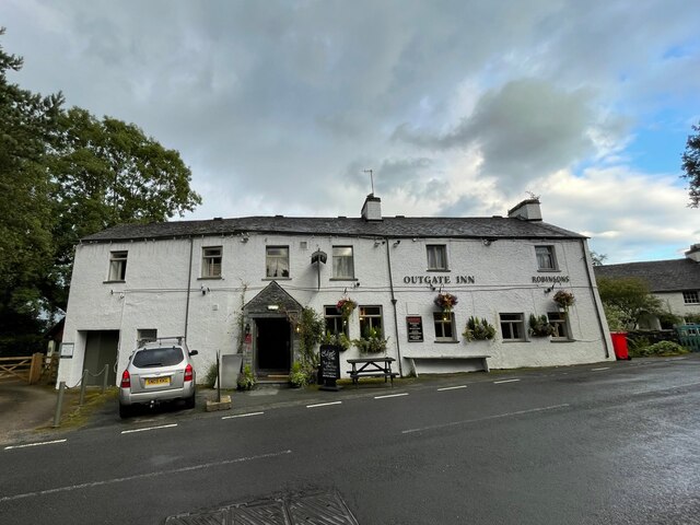
Blelham Tarn is a large valley tarn in the Lake District of England, to the north of the hill Latterbarrow. The settlements of Outgate, Low Wray and High...
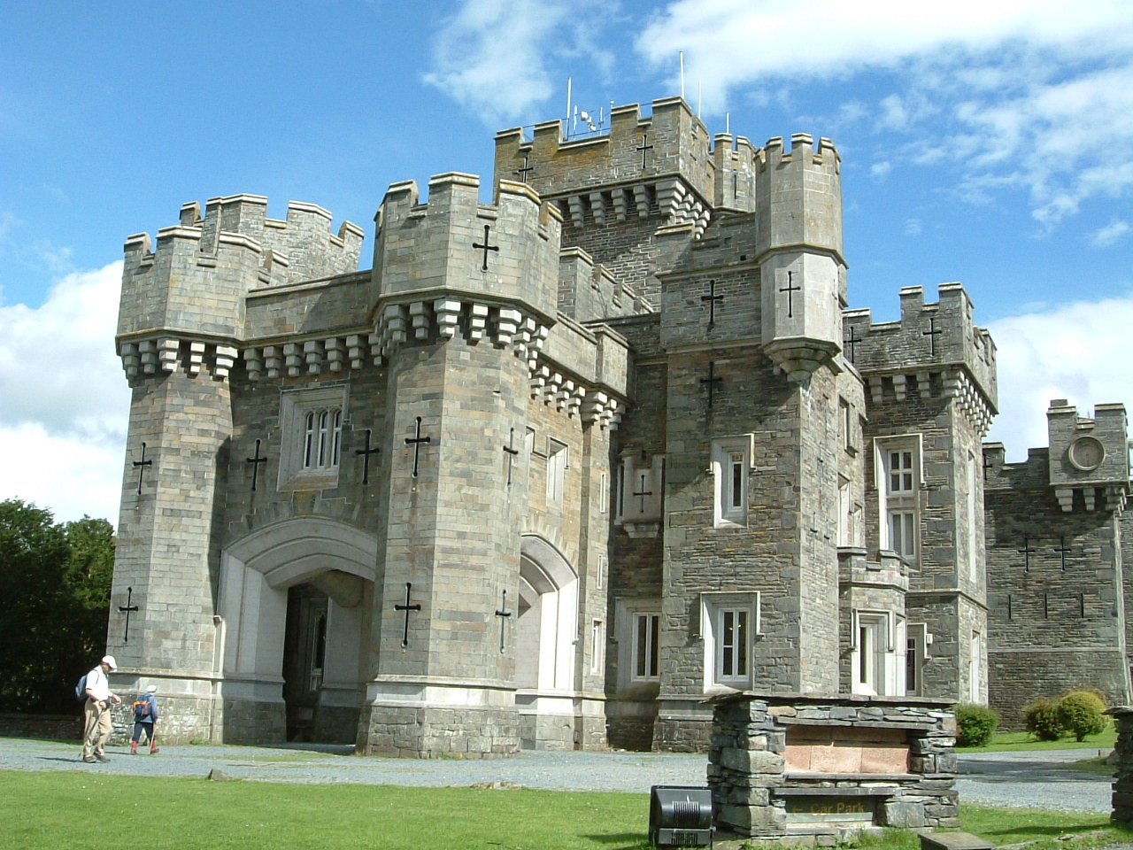
Wray Castle

Wray Castle is a Victorian neo-gothic building at Claife in Cumbria within the boundaries of the historic county of Lancashire. The house and grounds have...

RMS Wray Castle

RMS Wray Castle was a training college for Merchant Navy radio officers based at Wray Castle in the Lake District, from 1958 to 1998.At 11:40 p.m., on...

Brathay

Brathay is a parish in Cumbria, England. Brathay Hall and the surrounding estate belong to a charity, Brathay Trust. == See also == Listed buildings in...
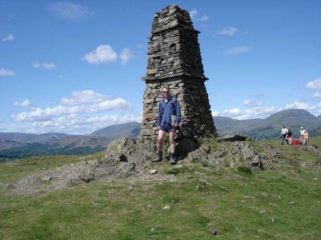
Latterbarrow

Latterbarrow is a hill in the English Lake District, east of Hawkshead, Cumbria. It is the subject of a chapter of Wainwright's book The Outlying Fells...

Holy Trinity Church, Brathay

Holy Trinity Church is in Bog Lane in the village of Brathay, Cumbria, England. It is an active Anglican parish church in the deanery of Windermere, the...

Langdale Chase

Langdale Chase, Windermere is a house of historical significance and is listed on the English heritage register. It consists of six acres of landscaped...

Clappersgate

Clappersgate is a village in the South Lakeland district, in the county of Cumbria, England. Clappersgate is located on the B5286 road and on the River...

Nearby Amenities

Located within 500m of 54.402079,-2.9806162
Bus Stop
Wray Road End
Bus: yes
Naptan AtcoCode: 090079284230
Naptan Bearing: S
Naptan CommonName: Wray Road End
Naptan Indicator: near
Naptan Landmark: Sawmill Cottage
Naptan NaptanCode: cumdpwma
Naptan Street: No Name
Naptan Verified: no
Public Transport: platform
Source: naptan_import
Lat/Long: 54.4055838/-2.9815684
Bus Stop
Wray Road End
Bearing: N
Bus: yes
Public Transport: platform
Source: gps
Lat/Long: 54.40558/-2.9814908
Crossing
Crossing: unmarked
Crossing Island: no
Crossing Markings: no
Tactile Paving: no
Lat/Long: 54.4063475/-2.9785191
Give Way
Direction: forward
Lat/Long: 54.4055956/-2.9814354
Power: pole
Lat/Long: 54.4057603/-2.9771876
Power: pole
Lat/Long: 54.4053294/-2.9776295
Power: pole
Lat/Long: 54.4054019/-2.9787556
Power: pole
Lat/Long: 54.4004513/-2.9809348
The data included in this document is from www.openstreetmap.org. The data is made available under ODbL.

Have you been to Brathay Plantation?

Leave your review of Brathay Plantation below (or comments, questions and feedback).