Peathouse Close Wood
Wood, Forest in Lancashire South Lakeland
England
Peathouse Close Wood
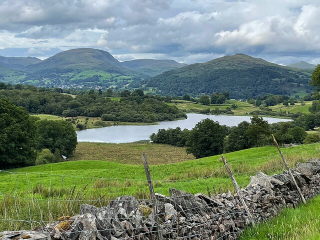
Peathouse Close Wood is a picturesque woodland located in Lancashire, England. Covering an area of approximately 10 acres, this enchanting forest is a popular destination for nature enthusiasts and outdoor lovers alike.
Situated near the village of Chipping, Peathouse Close Wood offers a tranquil and serene environment, making it an ideal place for walking, hiking, and birdwatching. The wood is home to a diverse range of flora and fauna, including oak, beech, and birch trees, which create a beautiful canopy that allows sunlight to filter through.
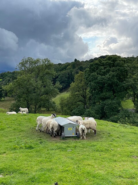
The woodland is crisscrossed by well-maintained footpaths, enabling visitors to explore the area easily. As they wander through Peathouse Close Wood, visitors may come across a variety of wildlife, such as squirrels, badgers, and an array of bird species. The peaceful atmosphere and natural beauty of the wood make it an excellent spot for photographers and artists seeking inspiration.
Peathouse Close Wood is also known for its historical significance. It is believed that the wood was once part of a larger hunting forest known as the Forest of Bowland, which dates back to the Norman era. Today, remnants of the forest's past can still be found in the form of ancient boundary walls and stone structures, adding to the charm and character of the woodland.
Whether visitors seek solitude, a connection with nature, or a glimpse into Lancashire's history, Peathouse Close Wood offers a delightful experience for all who venture into its tranquil embrace.
If you have any feedback on the listing, please let us know in the comments section below.
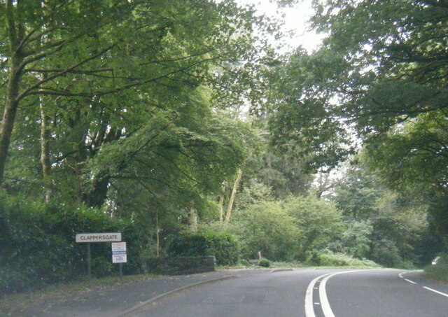
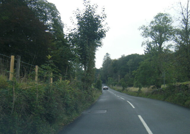
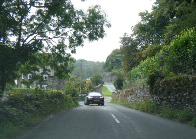
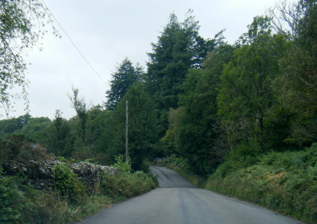
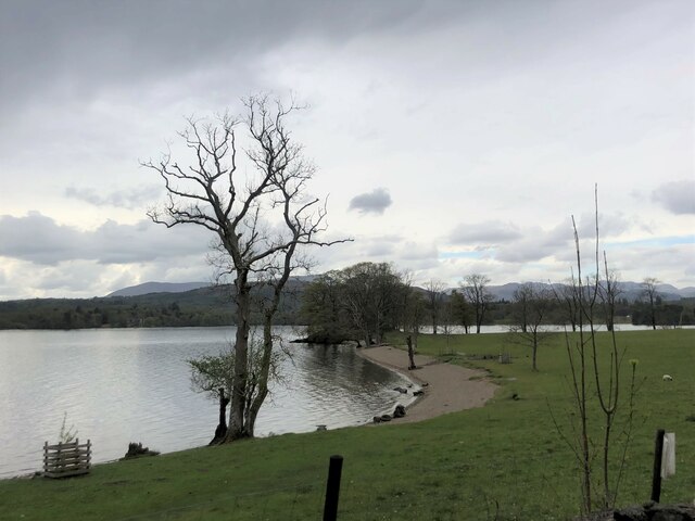
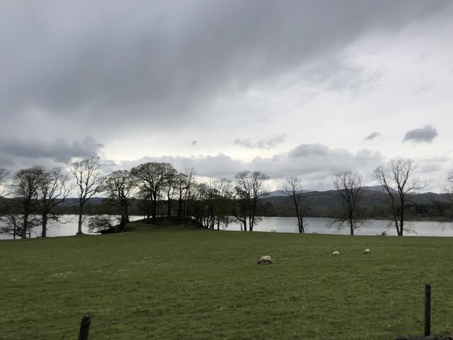
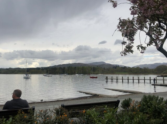
Peathouse Close Wood Images
Images are sourced within 2km of 54.407238/-2.9728203 or Grid Reference NY3601. Thanks to Geograph Open Source API. All images are credited.


Peathouse Close Wood is located at Grid Ref: NY3601 (Lat: 54.407238, Lng: -2.9728203)
Administrative County: Cumbria
District: South Lakeland
Police Authority: Cumbria
What 3 Words
///spurned.harvest.searcher. Near Ambleside, Cumbria
Nearby Locations
Related Wikis
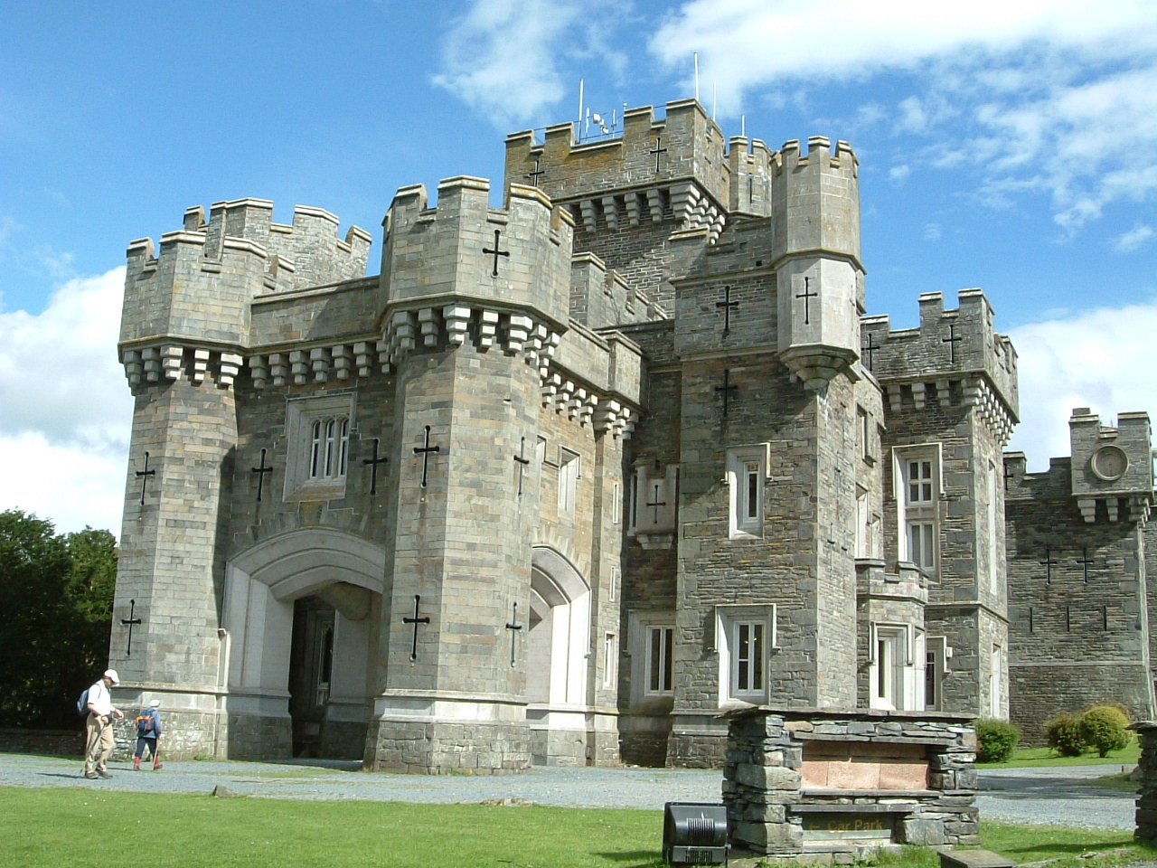
Wray Castle
Wray Castle is a Victorian neo-gothic building at Claife in Cumbria within the boundaries of the historic county of Lancashire. The house and grounds have...

RMS Wray Castle
RMS Wray Castle was a training college for Merchant Navy radio officers based at Wray Castle in the Lake District, from 1958 to 1998.At 11:40 p.m., on...

Blelham Tarn
Blelham Tarn is a large valley tarn in the Lake District of England, to the north of the hill Latterbarrow. The settlements of Outgate, Low Wray and High...

Stagshaw Garden
Stagshaw Garden is a woodland garden situated south of Ambleside, in Cumbria, England, and in the ownership of the National Trust.The garden is noted for...
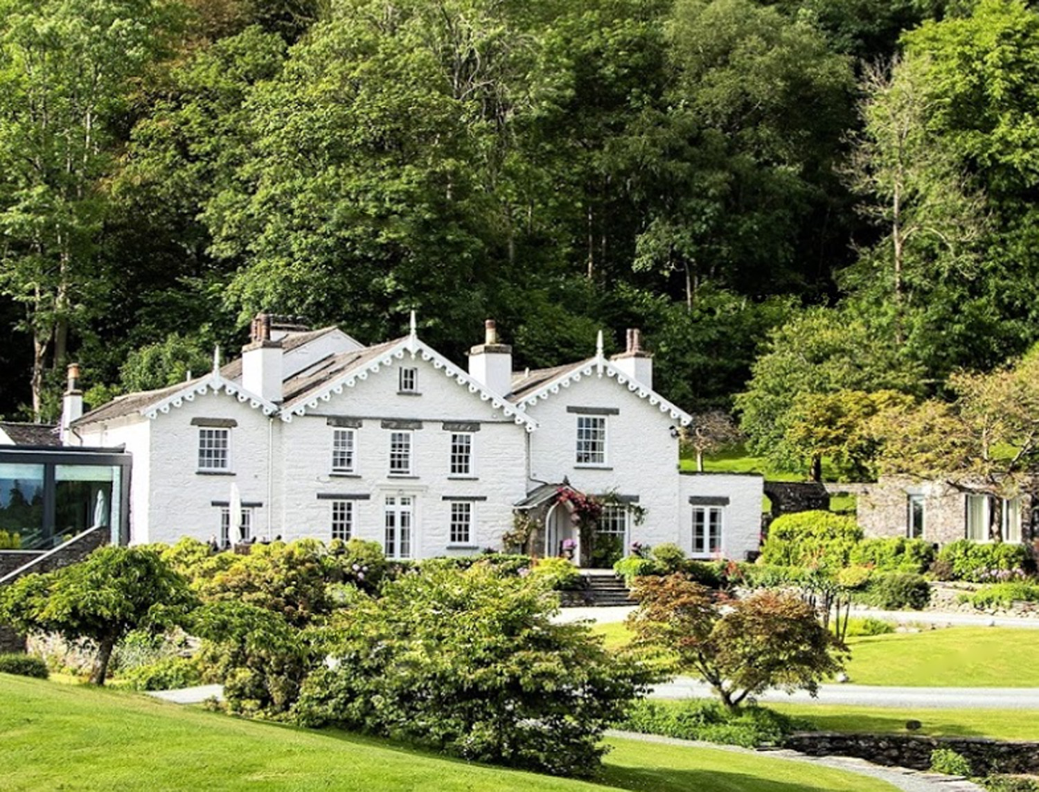
The Samling Hotel
The Samling Hotel (previously known as Dove Nest) near Windermere is a building of historical significance and is listed on the English Heritage. It was...

Ambleside Roman Fort
Ambleside Roman Fort is the modern name given to the remains of a fort of the Roman province of Britannia. The ruins have been tentatively identified as...

Holy Trinity Church, Brathay
Holy Trinity Church is in Bog Lane in the village of Brathay, Cumbria, England. It is an active Anglican parish church in the deanery of Windermere, the...

Langdale Chase
Langdale Chase, Windermere is a house of historical significance and is listed on the English heritage register. It consists of six acres of landscaped...
Nearby Amenities
Located within 500m of 54.407238,-2.9728203Have you been to Peathouse Close Wood?
Leave your review of Peathouse Close Wood below (or comments, questions and feedback).