Bretton Wood
Wood, Forest in Cheshire
England
Bretton Wood

Bretton Wood is a charming village located in Cheshire, England. Situated amidst the picturesque Cheshire countryside, this small settlement is renowned for its lush woodlands and serene surroundings. The village is nestled within the larger area known as Bretton, which encompasses several other hamlets and farms.
Covering an area of approximately 1 square mile, Bretton Wood is home to a population of around 300 people. The village is primarily residential, with a mix of traditional stone cottages and modern houses. The architectural style of the buildings reflects the village's rich history, with some structures dating back to the 18th century.
The centerpiece of Bretton Wood is undoubtedly its enchanting forest. The woodlands cover a vast expanse and are a haven for nature enthusiasts and walkers. The forest offers a diverse range of flora and fauna, including ancient oak trees, bluebells in the spring, and a variety of bird species. Many walking trails meander through the woods, allowing visitors to explore the natural beauty of the area.
Despite its tranquil atmosphere, Bretton Wood is conveniently located near major road networks, making it easily accessible for both residents and visitors. The nearby town of Macclesfield provides essential amenities, including schools, shops, and healthcare facilities.
Overall, Bretton Wood is a captivating village that offers a peaceful retreat in the heart of the Cheshire countryside. Its breathtaking woodlands and close-knit community make it an idyllic place to live or visit for those seeking a rural escape.
If you have any feedback on the listing, please let us know in the comments section below.
Bretton Wood Images
Images are sourced within 2km of 53.158179/-2.9515051 or Grid Reference SJ3662. Thanks to Geograph Open Source API. All images are credited.


Bretton Wood is located at Grid Ref: SJ3662 (Lat: 53.158179, Lng: -2.9515051)
Unitary Authority: Cheshire West and Chester
Police Authority: Cheshire
What 3 Words
///spenders.crib.provider. Near Broughton, Flintshire
Nearby Locations
Related Wikis

Balderton Cheese Factory
Balderton Cheese Factory is a building in the village of Balderton, Cheshire, England. It is recorded in the National Heritage List for England as a designated...
Bretton Hall, Flintshire
Bretton Hall is located on the border of England and Wales close to the village of Bretton, Flintshire, Wales. The original fortified manor house was surrounded...

Balderton railway station
Balderton railway station was a minor railway station serving the village of Balderton in Cheshire, England. It was located on the Great Western Railway...
Balderton, Cheshire
Balderton is a village in Cheshire, England. Nearby is Eaton Hall from where the Eaton Hall Railway, one of the first 15-inch gauge railways, ran to the...
Sir John Glynne's Canal
Sir John Glynne's Canal was a canal in England built by Sir John Glynne. It ran from Saltney, just outside Chester to Bretton, a distance of about one...
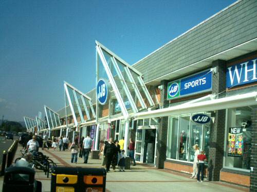
Broughton Shopping Park
Broughton Shopping Park (Welsh: Parc Siopa Brychdyn), also known as Broughton Centre (Welsh: Canolfan Brychdyn), is a retail park in Broughton, Flintshire...

Dodleston
Dodleston is a village and civil parish in the unitary authority of Cheshire West and Chester and the ceremonial county of Cheshire, England. The village...
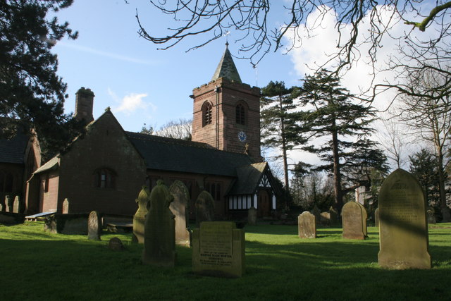
St Mary's Church, Dodleston
St Mary's Church is in the village of Dodleston, Cheshire, England. It is recorded in the National Heritage List for England as a designated Grade II listed...
Nearby Amenities
Located within 500m of 53.158179,-2.9515051Have you been to Bretton Wood?
Leave your review of Bretton Wood below (or comments, questions and feedback).