Anvilles

Settlement in Berkshire

England

Anvilles

Country lane, Inkpen, Berkshire
Country lane, Inkpen, Berkshire Credit: Oswald Bertram

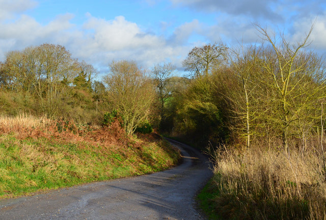
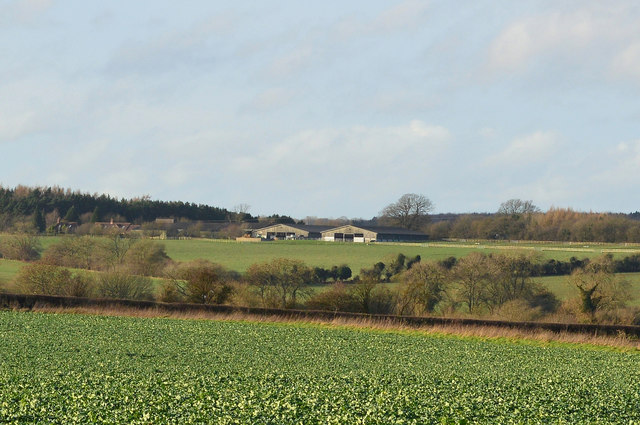
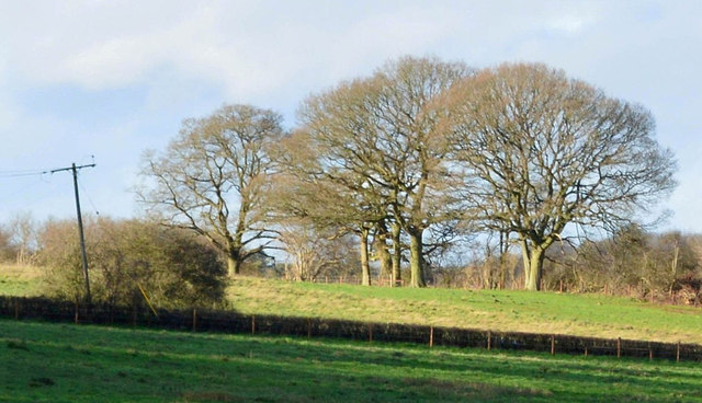
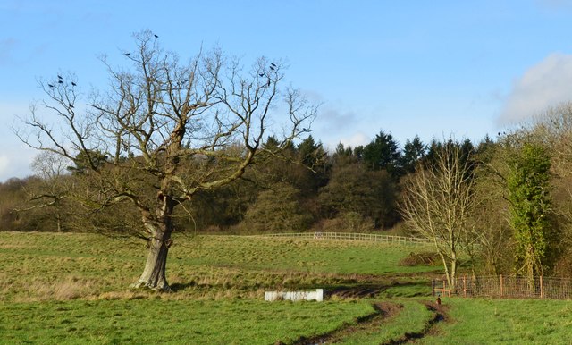
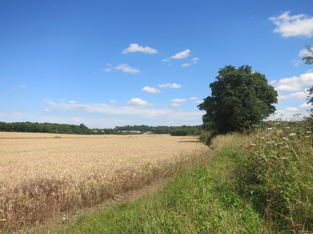
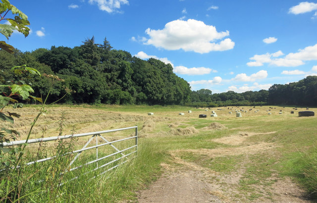
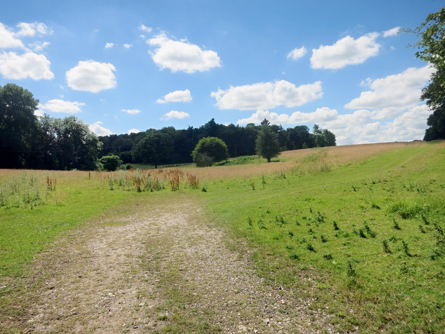
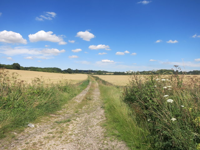
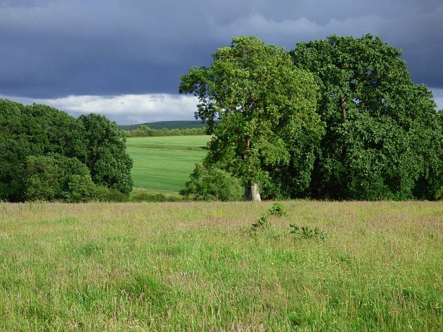
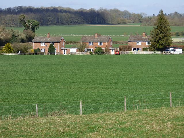
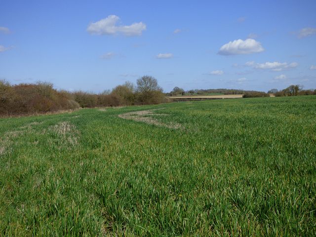
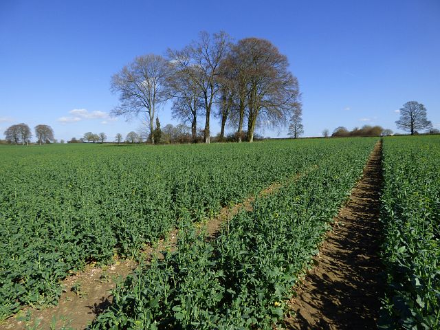
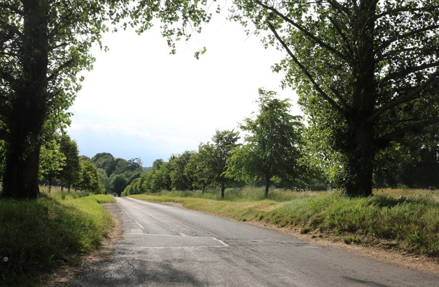
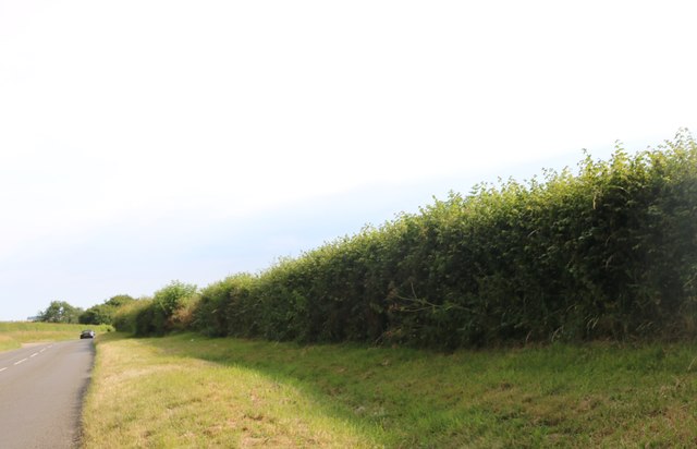
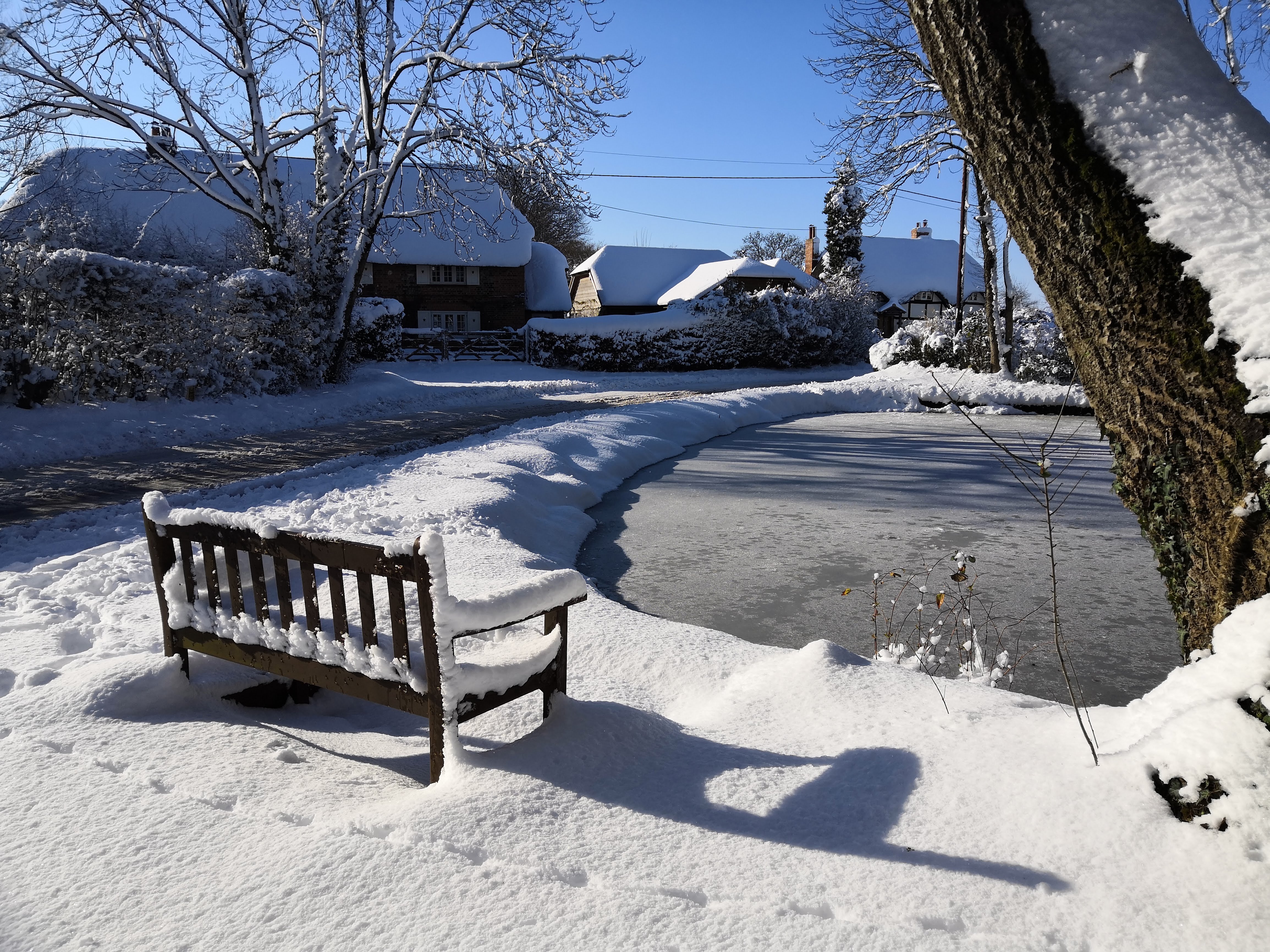
Anvilles is a small village located in the county of Berkshire, England. Situated in the picturesque countryside, it is surrounded by rolling hills and lush green fields, creating a tranquil and idyllic setting.

The village has a rich history that dates back many centuries. It was first mentioned in the Domesday Book of 1086, where it was recorded as "Anviles." Over the years, Anvilles has evolved into a close-knit community that preserves its heritage while embracing modernity.

Despite its small size, Anvilles offers a range of amenities and services for its residents. The village has a local pub, The Anvilles Arms, which serves as a social hub where locals gather to enjoy a pint and engage in friendly conversation. There is also a village hall that hosts community events and activities throughout the year.

Nature lovers will appreciate the abundance of natural beauty in Anvilles. The surrounding countryside provides ample opportunities for outdoor activities such as hiking, cycling, and horseback riding. The nearby Anvilles Woods is a popular spot for nature walks and birdwatching.

Anvilles is well-connected to nearby towns and cities by road and public transportation. The village is just a short drive away from the larger towns of Reading and Newbury, where residents can find a wider range of amenities including shopping centers, restaurants, and entertainment venues.

Overall, Anvilles is a charming village that offers a peaceful and rural lifestyle, making it an attractive place to live for those seeking a quieter pace of life amidst picturesque surroundings.

If you have any feedback on the listing, please let us know in the comments section below.
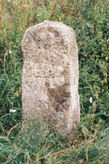
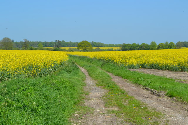
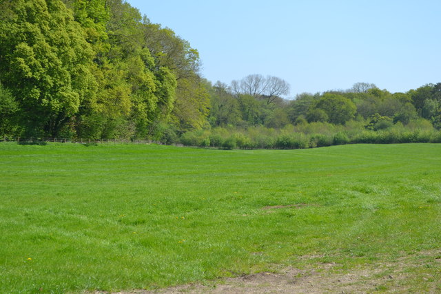
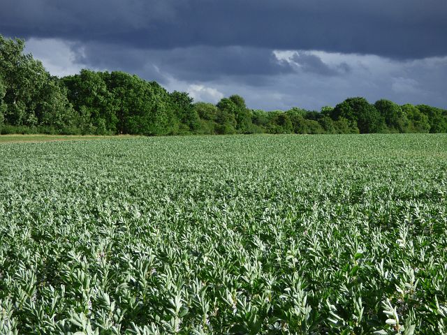
Anvilles Images

Images are sourced within 2km of 51.383035/-1.5128268 or Grid Reference SU3465. Thanks to Geograph Open Source API. All images are credited.

Country lane, Inkpen, Berkshire
Farmland, Sanham Green, Berkshire
Farmland, Inkpen, Berkshire
Field and Hedge beside Inkpen Road Inkpen Road, which crosses this square, is shown on the map as part of a national cycle route. It's  a  pleasant ride with hardly any traffic, passing mainly grain fields and a bit of woodland, with the occasional horse as you get near Kintbury.
Field and Hedge beside Inkpen Road
Inkpen Road, which crosses this square, is shown on the map as part of a national cycle route. It's a pleasant ride with hardly any traffic, passing mainly grain fields and a bit of woodland, with the occasional horse as you get near Kintbury.
Hay Cutting in the Valley Freshly cut hay near the gate, with baled up stuff further in. A long hay meadow in a shallow dry valley surrounded by woodland on three sides.
Hay Cutting in the Valley
Freshly cut hay near the gate, with baled up stuff further in. A long hay meadow in a shallow dry valley surrounded by woodland on three sides.
Towards Totterdown Copse Totterdown Copse in the distance with rather marginal looking grazing land in front.
Towards Totterdown Copse
Totterdown Copse in the distance with rather marginal looking grazing land in front.
Track to Little Templeton Access to a property in the trees on the left.
Track to Little Templeton
Access to a property in the trees on the left.
Old Milestone by the A338, south of Hungerford Carved stone post by the A338, in parish of Hungerford (West Berkshire District), Salisbury Road; lay-by near Hollytree Cottages, North of Prosperous Farm, on wide grass verge at northern entrance of lay-by, on East side of road. Hungerford tombstone, erected by the Leckford or Sousley Water turnpike trust in the 18th century. 

Inscription reads:-
TO
HUNGERFORD
2
SARUM
25
Carved benchmark and rivet on top.

Grade II listed.
List Entry Number: 1289529 <span class="nowrap"><a title="https://historicengland.org.uk/listing/the-list/list-entry/1289529" rel="nofollow ugc noopener" href="https://historicengland.org.uk/listing/the-list/list-entry/1289529">Link</a><img style="margin-left:2px;" alt="External link" title="External link - shift click to open in new window" src="https://s1.geograph.org.uk/img/external.png" width="10" height="10"/></span>

Milestone Society National ID: BE_HGSA02
Old Milestone by the A338, south of Hungerford
Carved stone post by the A338, in parish of Hungerford (West Berkshire District), Salisbury Road; lay-by near Hollytree Cottages, North of Prosperous Farm, on wide grass verge at northern entrance of lay-by, on East side of road. Hungerford tombstone, erected by the Leckford or Sousley Water turnpike trust in the 18th century. Inscription reads:- TO HUNGERFORD 2 SARUM 25 Carved benchmark and rivet on top. Grade II listed. List Entry Number: 1289529 LinkExternal link Milestone Society National ID: BE_HGSA02
Track through oilseed rape field beside Inkpen Road
Field beside New Templeton Gorse
Farmland, Hungerford A crop of beans under a threatening-looking sky beside the footpath approaching Elm Copse.
Farmland, Hungerford
A crop of beans under a threatening-looking sky beside the footpath approaching Elm Copse.
Farmland, Hungerford Pasture at Mount Prosperous with arable land beyond stretching towards the downs.
Farmland, Hungerford
Pasture at Mount Prosperous with arable land beyond stretching towards the downs.
Farmland and houses, Anvilles, Inkpen Viewed across an arable field from the footpath west of Totterdown.
Farmland and houses, Anvilles, Inkpen
Viewed across an arable field from the footpath west of Totterdown.
Farmland, Hungerford Looking into Berkshire from the boundary with Wiltshire.
Farmland, Hungerford
Looking into Berkshire from the boundary with Wiltshire.
Farmland, Hungerford Oil-seed rape and a clump of beeches to the east of Standen Manor.
Farmland, Hungerford
Oil-seed rape and a clump of beeches to the east of Standen Manor.
Private road to Standen Manor All the trees beyond the first pair were planted around 2010 and are now a lot bigger.
Private road to Standen Manor
All the trees beyond the first pair were planted around 2010 and are now a lot bigger.
Verge by the  A338, Bagshot
Verge by the A338, Bagshot
Show me another place!

Anvilles is located at Grid Ref: SU3465 (Lat: 51.383035, Lng: -1.5128268)

Unitary Authority: West Berkshire

Police Authority: Thames Valley

What 3 Words

///anguished.reddish.package. Near Hungerford, Berkshire

Nearby Locations

Anvilles Middle Copse

Related Wikis

Anvilles

Anvilles is a hamlet in the English county of Berkshire, and within the civil parish of Inkpen (formerly in Kintbury). == See also == Civil parishes in...

Ham, Wiltshire

Ham is a small village and civil parish in Wiltshire, England. The parish borders the county of Berkshire, and the village lies about 3+1⁄4 miles (5.2...

John O'Gaunt School

John O'Gaunt School is a coeducational secondary school in Hungerford, Berkshire, England for students aged 11 to 16. It was Berkshire's first community...

Hungerford Town F.C.

Hungerford Town Football Club is a semi-professional football club based in Hungerford, Berkshire, England. Affiliated to the Berks & Bucks Football Association...

Shalbourne

Shalbourne is a village and civil parish in the English county of Wiltshire, about 3 miles (4.8 km) southwest of Hungerford, Berkshire. The parish has...

Inkpen Crocus Field

Inkpen Crocus Fields is a 3.1-hectare (7.7-acre) biological Site of Special Scientific Interest near Inkpen in Berkshire. It is managed by the Berkshire...

Inkpen

Inkpen is a village and civil parish in West Berkshire, 3.5 miles (5.6 km) southeast of Hungerford, most of the land of which is cultivated fields with...

Hungerford Rural District

Hungerford Rural District was a rural district in Berkshire, England from 1894 to 1974, covering an area in the south-west of the county. == Evolution... ==

Have you been to Anvilles?

Leave your review of Anvilles below (or comments, questions and feedback).