Anwick

Settlement in Lincolnshire North Kesteven

England

Anwick

Remains of a churchyard cross, Anwick Remains of a fourteenth century cross <span class="nowrap"><a title="https://historicengland.org.uk/listing/the-list/list-entry/1168294" rel="nofollow ugc noopener" href="https://historicengland.org.uk/listing/the-list/list-entry/1168294">Link</a><img style="margin-left:2px;" alt="External link" title="External link - shift click to open in new window" src="https://s1.geograph.org.uk/img/external.png" width="10" height="10"/></span>
Remains of a churchyard cross, Anwick Credit: Jonathan Thacker

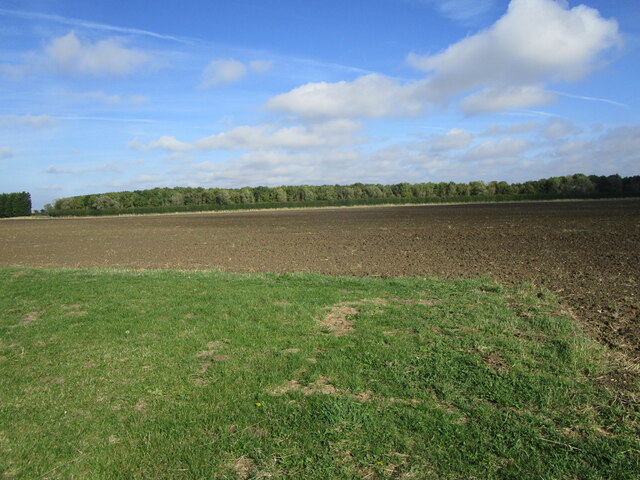
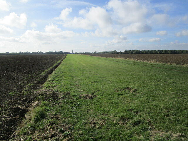
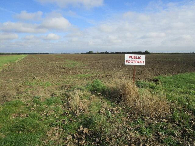
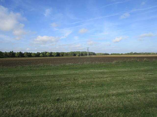
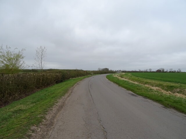
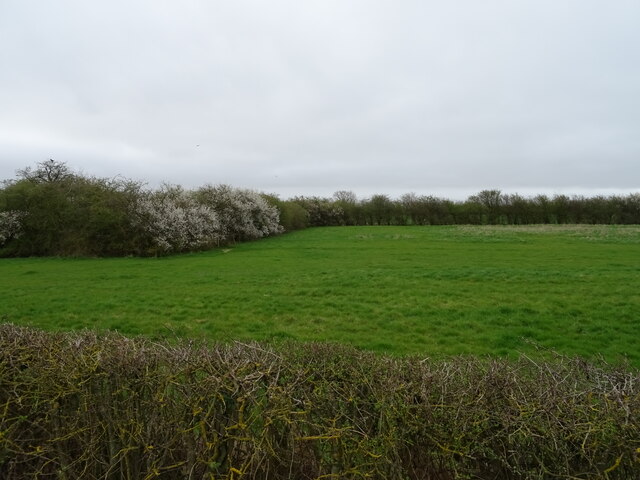
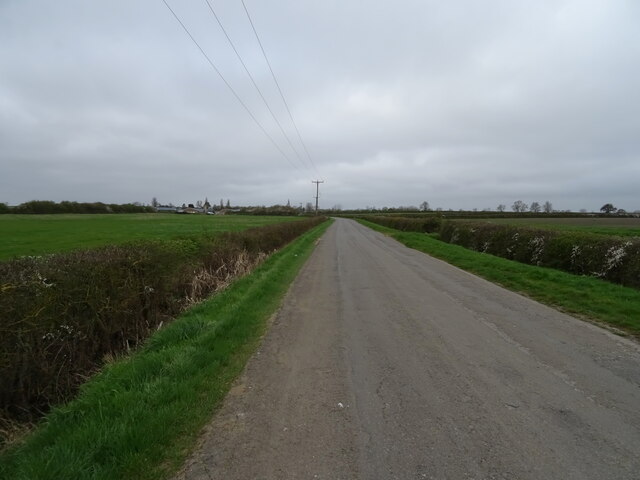
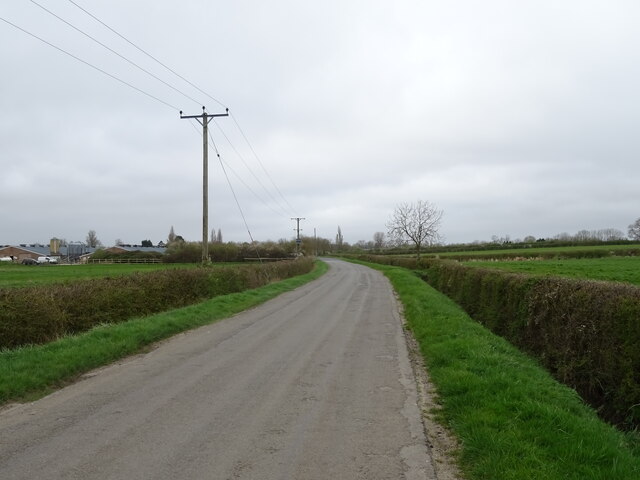
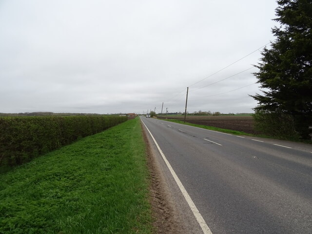
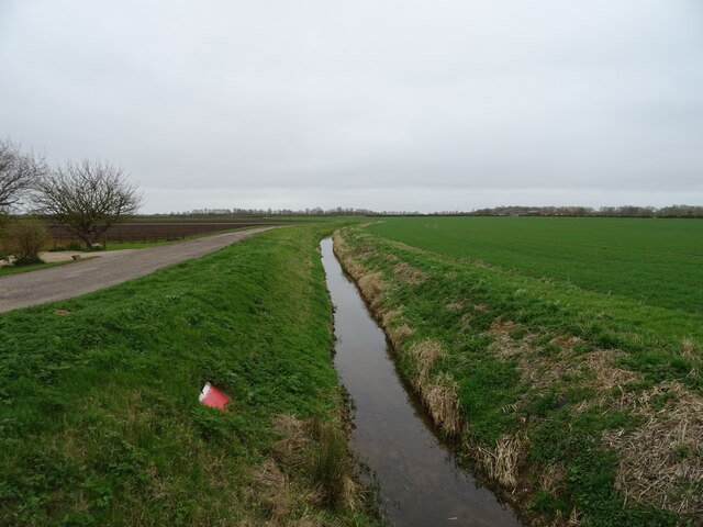
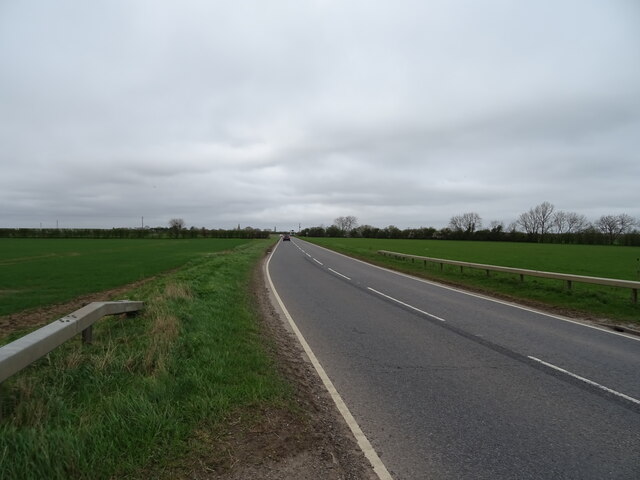
Anwick is a small village located in the county of Lincolnshire, England. Situated approximately 10 miles north of the town of Sleaford, Anwick is nestled in the heart of the picturesque countryside. The village is surrounded by vast fields, providing a tranquil and idyllic setting.

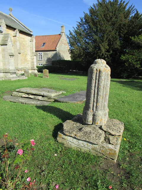
Anwick has a rich history that dates back many centuries. The village is home to St. Edith's Church, a beautiful medieval building that stands as a testament to the village's past. This historic church is a popular attraction for visitors, showcasing stunning architecture and intricate details.

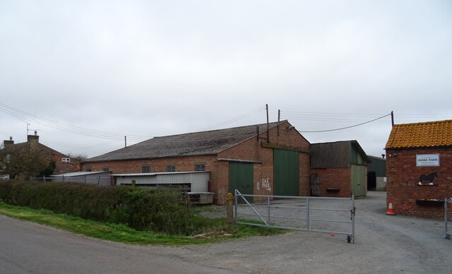
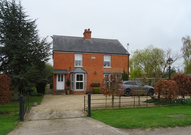
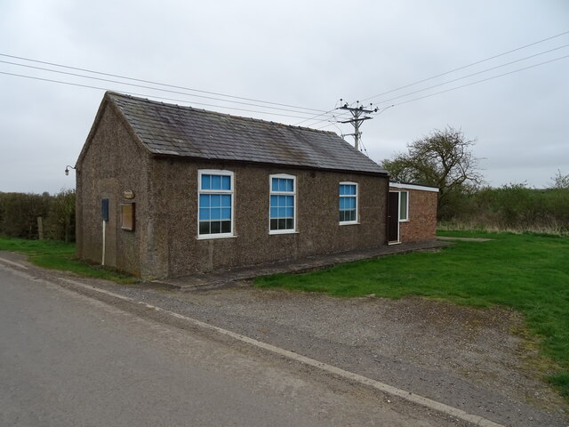
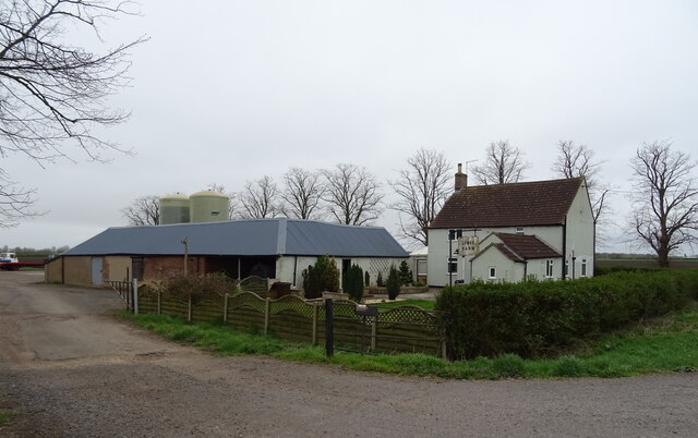
With a population of around 500 residents, Anwick maintains a close-knit community feel. The village center is characterized by a small collection of traditional houses, complemented by a few local amenities. There is a village hall, a primary school, and a cozy pub that serves as a social hub for residents and visitors alike.

The surrounding countryside provides ample opportunities for outdoor activities, such as walking, cycling, and horse riding. The nearby River Slea also offers a peaceful spot for fishing and boating enthusiasts.

Despite its small size, Anwick benefits from its proximity to larger towns and cities. The town of Sleaford provides a range of shops, supermarkets, and leisure facilities, all within a short drive from the village.

Overall, Anwick offers a peaceful and picturesque retreat for those seeking a charming English countryside experience.

If you have any feedback on the listing, please let us know in the comments section below.

Anwick Images

Images are sourced within 2km of 53.040809/-0.338891 or Grid Reference TF1150. Thanks to Geograph Open Source API. All images are credited.

Remains of a churchyard cross, Anwick Remains of a fourteenth century cross <span class="nowrap"><a title="https://historicengland.org.uk/listing/the-list/list-entry/1168294" rel="nofollow ugc noopener" href="https://historicengland.org.uk/listing/the-list/list-entry/1168294">Link</a><img style="margin-left:2px;" alt="External link" title="External link - shift click to open in new window" src="https://s1.geograph.org.uk/img/external.png" width="10" height="10"/></span>
Remains of a churchyard cross, Anwick
Remains of a fourteenth century cross LinkExternal link
End of an airstrip and trees by Catchwater Drain
Airstrip at Anwick
Airstrip at Anwick
Putting up a sign doesn't make a footpath The field through which the footpath passes has been cultivated and sown but no effort has been made to re-instate the footpath.
Putting up a sign doesn't make a footpath
The field through which the footpath passes has been cultivated and sown but no effort has been made to re-instate the footpath.
Airstrip, power lines and shelter belt
Farm buildings, Shire Farm
House near Crossways Farm
Fenland road towards Ruskington
Ruskington Fen Wesleyan Reform Chapel
Grazing near Wong Farm
Minor road towards Ruskington
Grazing towards poultry houses
Minor road towards Ruskington
Limes Farm On Anwick Fen.
Limes Farm
On Anwick Fen.
A153, Anwick Fen Towards Sleaford.
A153, Anwick Fen
Towards Sleaford.
Corner House, Anwick Fen
The Catchwater drain near Corner House
A153, Anwick Fen Towards Sleaford.
A153, Anwick Fen
Towards Sleaford.
Show me another place!

Anwick is located at Grid Ref: TF1150 (Lat: 53.040809, Lng: -0.338891)

Division: Parts of Kesteven

Administrative County: Lincolnshire

District: North Kesteven

Police Authority: Lincolnshire

What 3 Words

///willing.cherish.bearable. Near Ruskington, Lincolnshire

Nearby Locations

Anwick

Related Wikis

Anwick

Anwick is a small village and civil parish in the North Kesteven district of Lincolnshire, England. The population of the civil parish at the 2011 census...

RAF Anwick

Royal Air Force Anwick or more simply RAF Anwick is a former Second World War faux Royal Air Force decoy station near the village of Anwick, 21.3 mi (34...

Haverholme

Haverholme is a hamlet and site of Haverholme Priory in the North Kesteven district of Lincolnshire, England. It is situated about 4 miles (6 km) north...
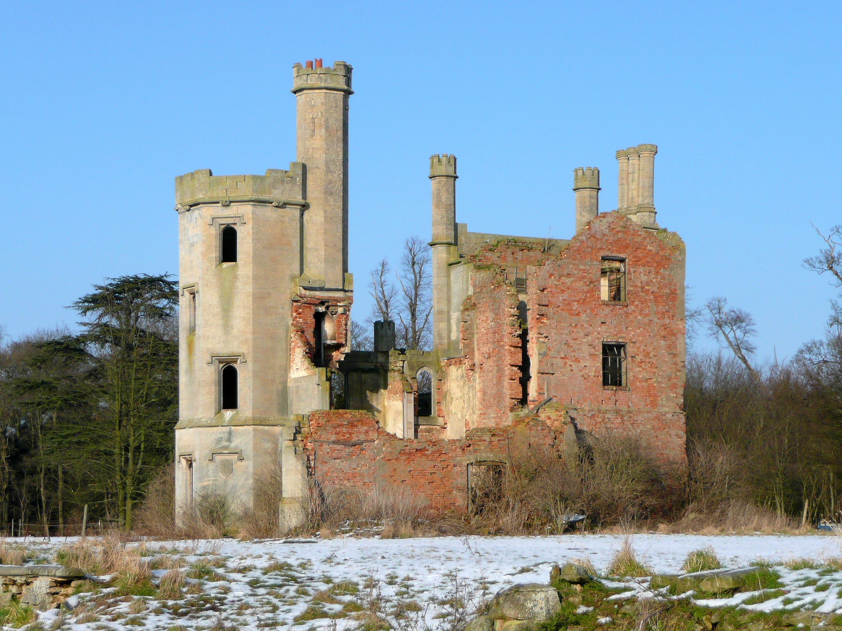
Haverholme Priory

Haverholme Priory was a monastery in Lincolnshire, England. Its remains are situated 4 miles (6 km) north-east of the town of Sleaford and less than 1...

Ewerby and Evedon

Ewerby and Evedon is a civil Parish in North Kesteven, Lincolnshire, England. It includes the villages of Ewerby and Evedon, the hamlet of Haverholme,...

North Ings Farm Museum

The North Ings Farm Museum is a working farm museum containing a 2 ft (610 mm) narrow gauge railway, running on a circuit of 1⁄4 mile (0.40 km). It is...

Sleaford Rural District

Sleaford was a rural district in Lincolnshire, Parts of Kesteven, England, from 1894 to 1931. It was created by the Local Government Act 1894 based on...

Ruskington railway station

Ruskington railway station serves the village of Ruskington in Lincolnshire, England. It opened in 1882 as part of the Great Northern and Great Eastern...

Nearby Amenities

Located within 500m of 53.040809,-0.338891
Source: OS_OpenData _StreetView
Lat/Long: 53.0395868/-0.3450461
Source: OS_OpenData _StreetView
Lat/Long: 53.0396129/-0.3435683
Source: OS_OpenData _StreetView
Lat/Long: 53.0394745/-0.3418772
Source: OS_OpenData _StreetView
Lat/Long: 53.0395202/-0.341011
Source: OS_OpenData _StreetView
Lat/Long: 53.0396096/-0.3403496
Source: OS_OpenData _StreetView
Lat/Long: 53.0400437/-0.3390924
Source: OS_OpenData _StreetView
Lat/Long: 53.0401732/-0.3384561
Source: OS_OpenData _StreetView
Lat/Long: 53.0402882/-0.3371792
Source: OS_OpenData _StreetView
Lat/Long: 53.0404353/-0.3359534
Anwick
Is In: Lincolnshire, England, UK
Place: village
Source: Bing
Lat/Long: 53.0401246/-0.3391277
Church Lane
Naptan AtcoCode: 270000008397
Naptan Bearing: NE
Naptan BusStopType: CUS
Naptan CommonName: Church Lane
Naptan Indicator: opp
Naptan Landmark: Church Lane
Naptan NaptanCode: lingpwat
Naptan Street: Main Road
Naptan Verified: no
Source: naptan_import
Lat/Long: 53.0402356/-0.3384407
Bus Stop
Padleys Factory
Bus: yes
Naptan AtcoCode: 270002700363
Naptan Bearing: E
Naptan CommonName: Padleys Factory
Naptan Indicator: adj
Naptan Landmark: Padleys Factory
Naptan Street: Main Road
Naptan Verified: no
Public Transport: platform
Source: naptan_import
Lat/Long: 53.03927/-0.3420428
Bus Stop
Anwick River Lane bus stop
Bus: yes
Naptan AtcoCode: 2700LAMC5396
Naptan Bearing: SW
Naptan CommonName: Methodist Church
Naptan Indicator: adj
Naptan Landmark: Methodist Church
Naptan NaptanCode: lindtjwa
Naptan Street: Main Road
Naptan Verified: no
Public Transport: platform
Source: naptan_import
Lat/Long: 53.0396707/-0.3398813
Place Of Worship
Anwick Methodist Church
Denomination: methodist
Religion: christian
Source: Bing
Lat/Long: 53.0394655/-0.3403256
Source: OS_OpenData _StreetView
Lat/Long: 53.0401551/-0.3427206
Historic Power: pole
Lat/Long: 53.0421467/-0.3380737
Height: 0
Power: connection
Lat/Long: 53.0434601/-0.3388384
Power: pole
Lat/Long: 53.0442527/-0.3363249
Power: pole
Lat/Long: 53.0438109/-0.3377061
Source: Bing
Lat/Long: 53.0413555/-0.3388468
Power: pole
Lat/Long: 53.0433222/-0.3446985
Power: pole
Lat/Long: 53.0434265/-0.3433769
Power: pole
Lat/Long: 53.0434999/-0.3406094
Power: pole
Lat/Long: 53.0435241/-0.3420497
Height: 0
Power: connection
Lat/Long: 53.0441145/-0.3393746
Power: pole
Lat/Long: 53.0435062/-0.3386834
The Spire Coffee Shop
Shop: coffee
Wheelchair: yes
Lat/Long: 53.0426368/-0.3390434
The data included in this document is from www.openstreetmap.org. The data is made available under ODbL.

Have you been to Anwick?

Leave your review of Anwick below (or comments, questions and feedback).