Anvil Green
Settlement in Kent Canterbury
England
Anvil Green

Anvil Green is a small village located in the county of Kent, in southeastern England. It is situated in the district of Sevenoaks, approximately 15 miles southeast of the county town, Maidstone. The village is surrounded by picturesque countryside, with rolling hills and meadows, creating a tranquil and idyllic setting.
The history of Anvil Green dates back many centuries, with evidence of human settlement in the area since the Roman times. The village was originally an agricultural community, with farming being the primary occupation of its residents. Today, it retains its rural character and charm, with a few farms still operating in the vicinity.
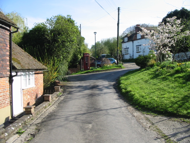
The village itself is small, comprising a collection of traditional cottages, some dating back to the 17th century, giving it a distinct historic ambiance. The village green is a focal point, where locals gather for community events and festivities. It serves as a recreational area, with benches and a small playground for children.
Anvil Green benefits from its proximity to larger towns, such as Sevenoaks and Maidstone, which offer a wider range of amenities including shops, schools, and healthcare facilities. The village is well-connected, with excellent transport links to nearby towns and cities, making it an attractive place to reside for those seeking a peaceful rural lifestyle while still having access to urban conveniences.
In summary, Anvil Green is a charming village in the heart of the Kent countryside, rich in history and natural beauty. Its tranquil setting and close-knit community make it an appealing place to live for those seeking a peaceful and rural lifestyle.
If you have any feedback on the listing, please let us know in the comments section below.
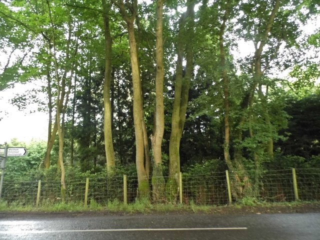
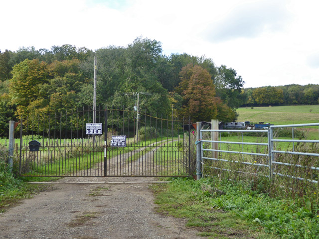
Anvil Green Images
Images are sourced within 2km of 51.20609/1.01999 or Grid Reference TR1149. Thanks to Geograph Open Source API. All images are credited.


Anvil Green is located at Grid Ref: TR1149 (Lat: 51.20609, Lng: 1.01999)
Administrative County: Kent
District: Canterbury
Police Authority: Kent
What 3 Words
///cabbage.hexes.keener. Near Chartham, Kent
Nearby Locations
Related Wikis

Anvil Green
Anvil Green is a small settlement located near Waltham in Kent, England, about nine miles (14.4 km) north east of Ashford. == External links == Media...

Waltham, Kent
Waltham is a village and civil parish 7 miles (11 km) southwest of Canterbury in Kent, England. == History == The village was once associated with the...

Denge Wood
Denge Wood is a wood located 8 miles southwest of Canterbury in Kent, England. The wood is owned by the Forestry Commission and the Woodland Trust. Part...

Yockletts Bank
Yockletts Bank is a 25.4-hectare (63-acre) biological Site of Special Scientific Interest west of Stelling Minnis in Kent. It is managed by KWT and is...

Petham
Petham is a rural village and civil parish in the North Downs, five miles south of Canterbury in Kent, South East England. The village church is All Saints...

Stour Valley Walk
The Stour Valley Walk is a recreational walking route that follows the River Stour, through the Low Weald and Kent Downs, from its source at Lenham to...
Crundale, Kent
Crundale is a mostly rural village and civil parish in the Ashford District of Kent in southeast England. The village covers a section of one of the dual...

Down Bank
Down Bank is a 5.9-hectare (15-acre) biological Site of Special Scientific Interest south-west of Canterbury in Kent.This sloping chalk meadow has the...
Related Videos

King for a Day (Green Day) - Yakko cover
I had to pump out an another Green Day cover after like 2 months of nothing. My performance in the Basket Case - Yakko cover ...
Nearby Amenities
Located within 500m of 51.20609,1.01999Have you been to Anvil Green?
Leave your review of Anvil Green below (or comments, questions and feedback).