Middle Copse

Wood, Forest in Berkshire

England

Middle Copse

Country lane, Inkpen, Berkshire
Country lane, Inkpen, Berkshire Credit: Oswald Bertram

Middle Copse is a picturesque woodland located in Berkshire, England. Covering an area of approximately 50 acres, it is situated near the village of Welford, just a few miles west of Newbury. The copse is part of the larger woodland complex known as the Welford Park Estate.

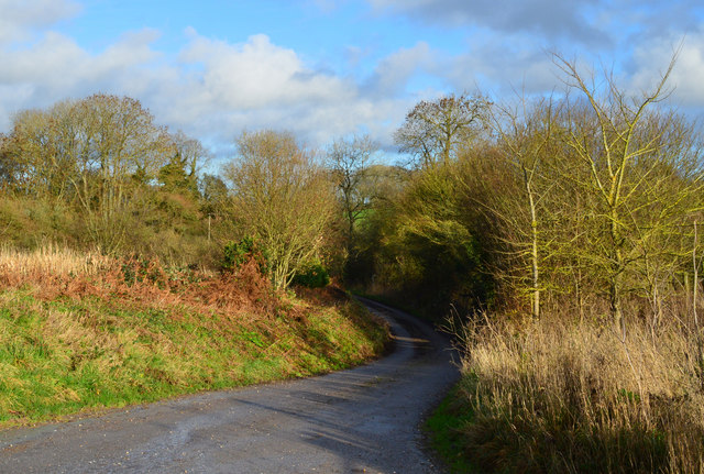
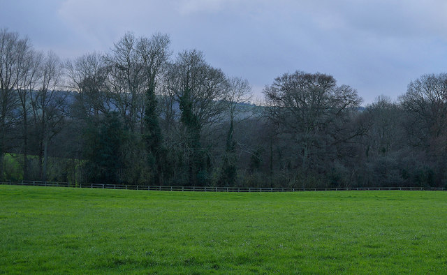
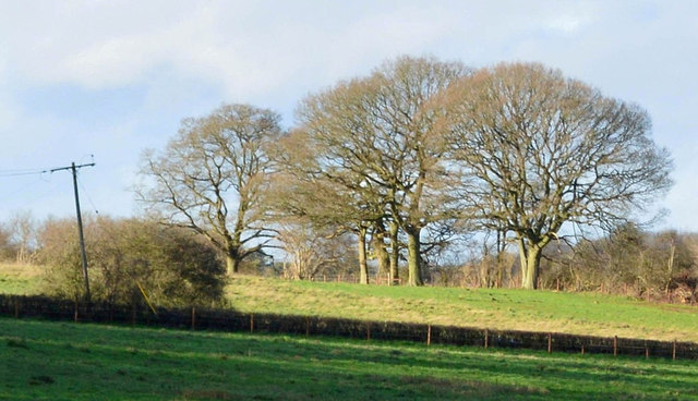
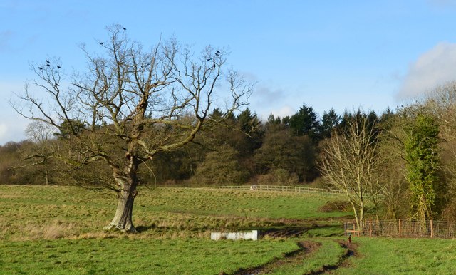
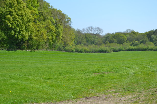
The woodland is predominantly composed of broadleaf trees, including oak, beech, and ash, which create a dense canopy that provides shelter and shade to a diverse array of flora and fauna. The forest floor is carpeted with a rich variety of wildflowers, such as bluebells and primroses, which bloom in abundance during the spring months.

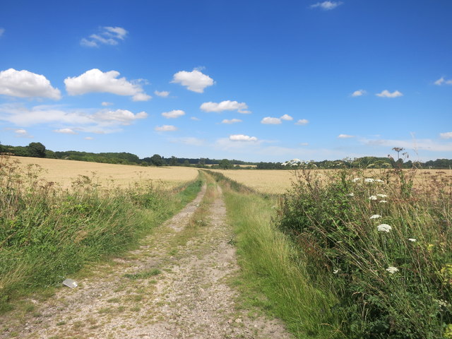
Middle Copse is crisscrossed by a network of footpaths, allowing visitors to explore its tranquil surroundings and enjoy the natural beauty of the area. The paths wind their way through the woods, leading to hidden clearings and secluded spots, perfect for picnics or simply immersing oneself in nature.

The copse is home to a wide range of wildlife, including deer, foxes, and a variety of bird species. Birdwatchers can spot woodpeckers, owls, and even the occasional red kite soaring above the treetops. The peaceful ambiance of the forest also attracts a diverse array of insect life, making it a haven for nature enthusiasts and photographers.

Middle Copse offers a peaceful escape from the hustle and bustle of everyday life, providing a sanctuary for both wildlife and visitors alike. Whether you are seeking a quiet walk, a spot of birdwatching, or simply a place to reconnect with nature, this enchanting woodland is sure to captivate and inspire.

If you have any feedback on the listing, please let us know in the comments section below.
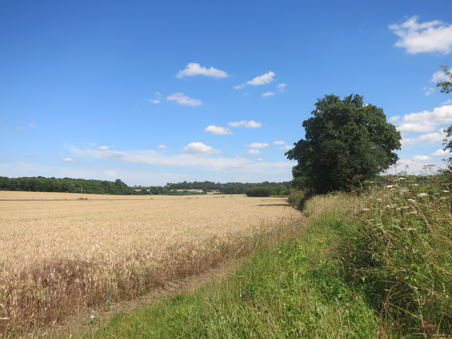
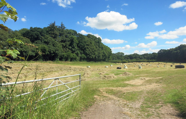
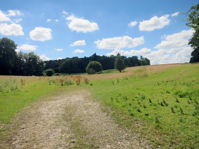
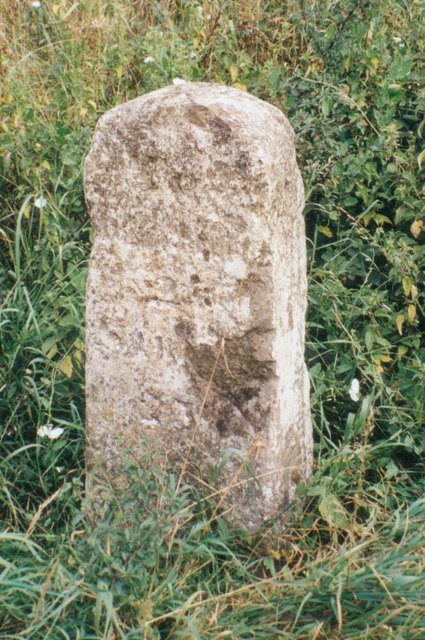
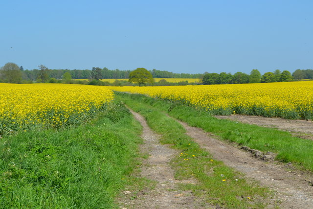
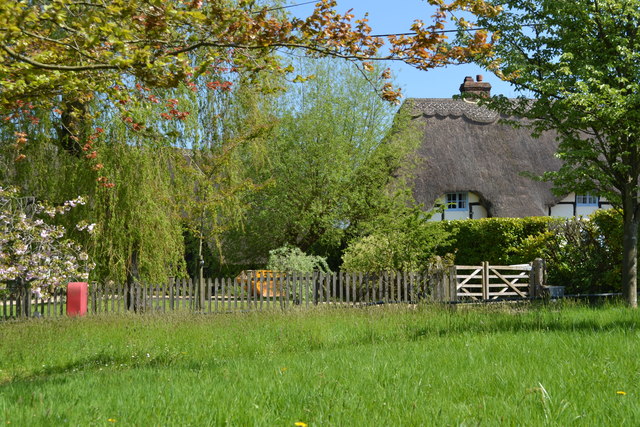
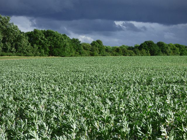
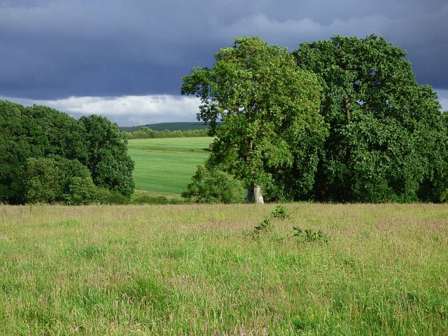
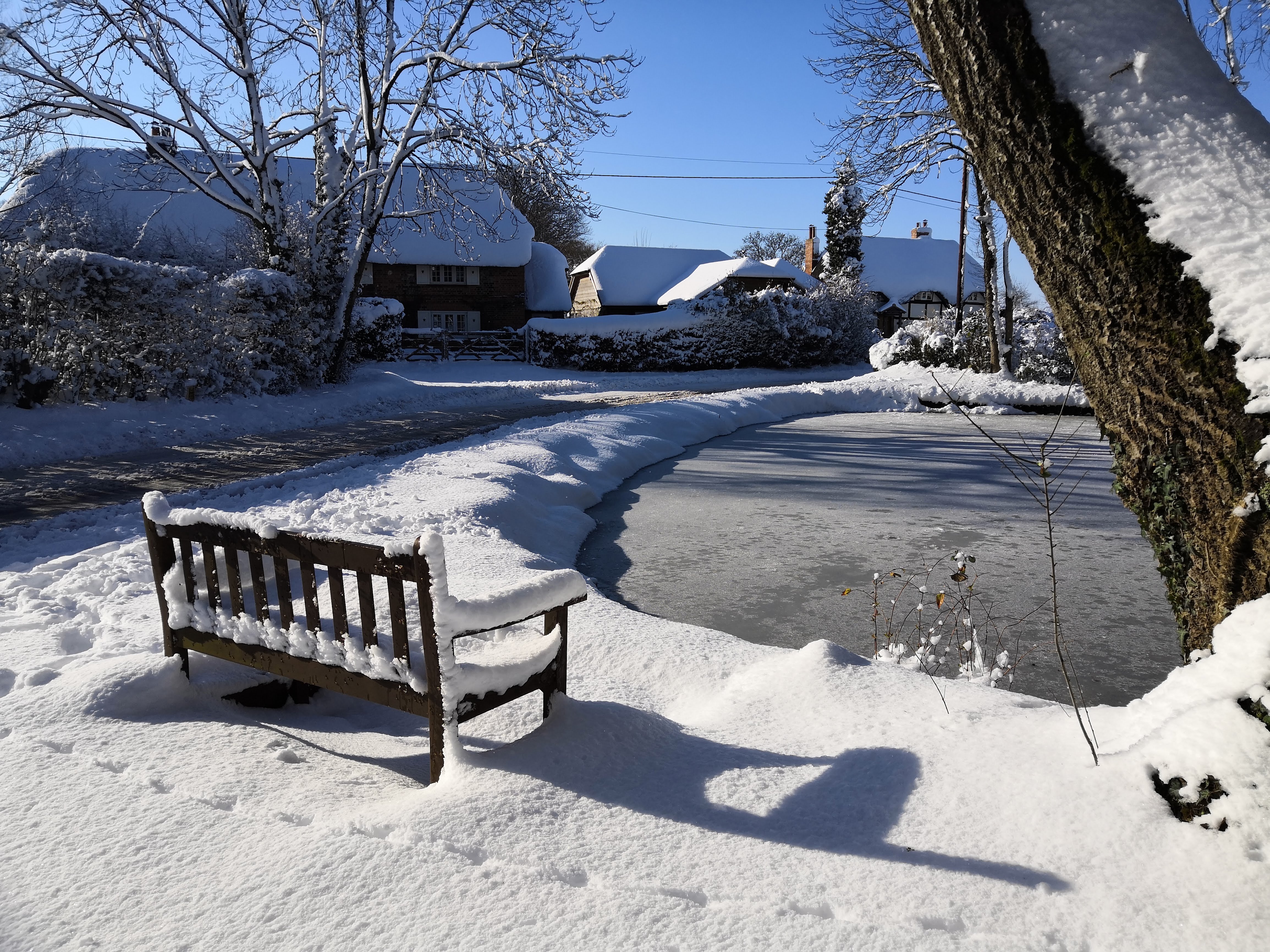
Middle Copse Images

Images are sourced within 2km of 51.384104/-1.5018513 or Grid Reference SU3465. Thanks to Geograph Open Source API. All images are credited.

Country lane, Inkpen, Berkshire
Before the rain, Inkpen, Berkshire
Farmland, Inkpen, Berkshire
Farmland, Cold Harbour, Berkshire
Farmland, Inkpen, Berkshire
Footpath, Templeton, Berkshire
This Way for the Sausages Entrance to a farm shop, specialising in pork products by the look of it.
This Way for the Sausages
Entrance to a farm shop, specialising in pork products by the look of it.
Field and Hedge beside Inkpen Road Inkpen Road, which crosses this square, is shown on the map as part of a national cycle route. It's  a  pleasant ride with hardly any traffic, passing mainly grain fields and a bit of woodland, with the occasional horse as you get near Kintbury.
Field and Hedge beside Inkpen Road
Inkpen Road, which crosses this square, is shown on the map as part of a national cycle route. It's a pleasant ride with hardly any traffic, passing mainly grain fields and a bit of woodland, with the occasional horse as you get near Kintbury.
Hay Cutting in the Valley Freshly cut hay near the gate, with baled up stuff further in. A long hay meadow in a shallow dry valley surrounded by woodland on three sides.
Hay Cutting in the Valley
Freshly cut hay near the gate, with baled up stuff further in. A long hay meadow in a shallow dry valley surrounded by woodland on three sides.
Towards Totterdown Copse Totterdown Copse in the distance with rather marginal looking grazing land in front.
Towards Totterdown Copse
Totterdown Copse in the distance with rather marginal looking grazing land in front.
Track to Little Templeton Access to a property in the trees on the left.
Track to Little Templeton
Access to a property in the trees on the left.
Fields and Woods near Templeton A view from where a footpath meets the road.
Fields and Woods near Templeton
A view from where a footpath meets the road.
Old Milestone by the A338, south of Hungerford Carved stone post by the A338, in parish of Hungerford (West Berkshire District), Salisbury Road; lay-by near Hollytree Cottages, North of Prosperous Farm, on wide grass verge at northern entrance of lay-by, on East side of road. Hungerford tombstone, erected by the Leckford or Sousley Water turnpike trust in the 18th century. 

Inscription reads:-
TO
HUNGERFORD
2
SARUM
25
Carved benchmark and rivet on top.

Grade II listed.
List Entry Number: 1289529 <span class="nowrap"><a title="https://historicengland.org.uk/listing/the-list/list-entry/1289529" rel="nofollow ugc noopener" href="https://historicengland.org.uk/listing/the-list/list-entry/1289529">Link</a><img style="margin-left:2px;" alt="External link" title="External link - shift click to open in new window" src="https://s1.geograph.org.uk/img/external.png" width="10" height="10"/></span>

Milestone Society National ID: BE_HGSA02
Old Milestone by the A338, south of Hungerford
Carved stone post by the A338, in parish of Hungerford (West Berkshire District), Salisbury Road; lay-by near Hollytree Cottages, North of Prosperous Farm, on wide grass verge at northern entrance of lay-by, on East side of road. Hungerford tombstone, erected by the Leckford or Sousley Water turnpike trust in the 18th century. Inscription reads:- TO HUNGERFORD 2 SARUM 25 Carved benchmark and rivet on top. Grade II listed. List Entry Number: 1289529 LinkExternal link Milestone Society National ID: BE_HGSA02
Track through oilseed rape field beside Inkpen Road
Field beside New Templeton Gorse
Thatch by the green at Lower Green
Farmland, Hungerford A crop of beans under a threatening-looking sky beside the footpath approaching Elm Copse.
Farmland, Hungerford
A crop of beans under a threatening-looking sky beside the footpath approaching Elm Copse.
Farmland, Hungerford Pasture at Mount Prosperous with arable land beyond stretching towards the downs.
Farmland, Hungerford
Pasture at Mount Prosperous with arable land beyond stretching towards the downs.
Show me another place!

Middle Copse is located at Grid Ref: SU3465 (Lat: 51.384104, Lng: -1.5018513)

Unitary Authority: West Berkshire

Police Authority: Thames Valley

What 3 Words

///scooped.frown.forgives. Near Hungerford, Berkshire

Nearby Locations

Middle Copse Anvilles

Related Wikis

Anvilles

Anvilles is a hamlet in the English county of Berkshire, and within the civil parish of Inkpen (formerly in Kintbury). == See also == Civil parishes in...

John O'Gaunt School

John O'Gaunt School is a coeducational secondary school in Hungerford, Berkshire, England for students aged 11 to 16. It was Berkshire's first community...

Inkpen Crocus Field

Inkpen Crocus Fields is a 3.1-hectare (7.7-acre) biological Site of Special Scientific Interest near Inkpen in Berkshire. It is managed by the Berkshire...

Inkpen

Inkpen is a village and civil parish in West Berkshire, 3.5 miles (5.6 km) southeast of Hungerford, most of the land of which is cultivated fields with...

Nearby Amenities

Located within 500m of 51.384104,-1.5018513
The data included in this document is from www.openstreetmap.org. The data is made available under ODbL.

Have you been to Middle Copse?

Leave your review of Middle Copse below (or comments, questions and feedback).