Alder Grove
Wood, Forest in Somerset South Somerset
England
Alder Grove
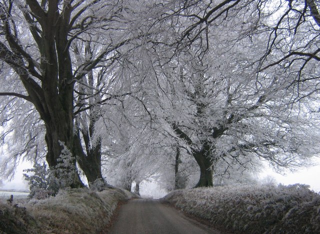
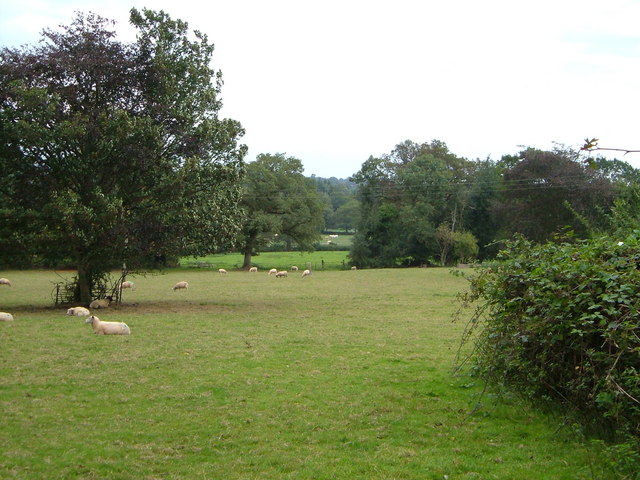
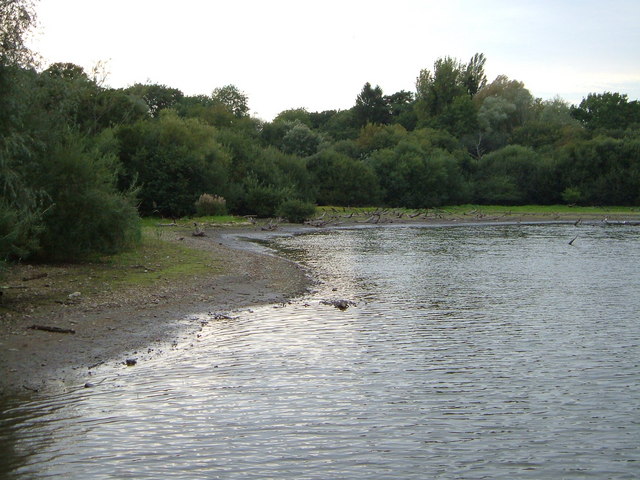
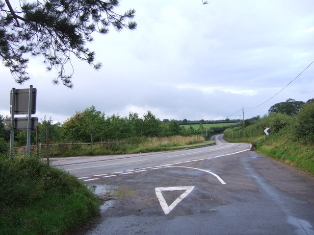
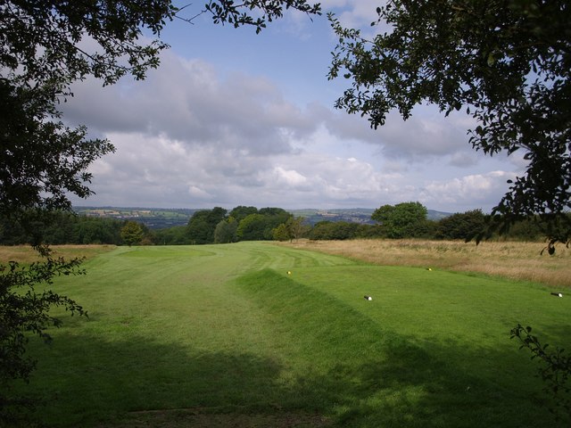
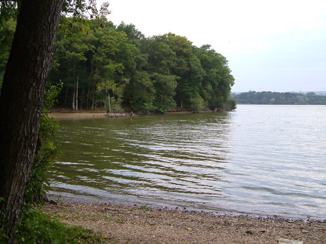
Alder Grove, Somerset, also known as Wood or Forest, is a picturesque location situated in the county of Somerset, England. It is renowned for its abundant alder trees that dominate the landscape, giving it a distinct and enchanting character. The grove is nestled within the beautiful countryside, surrounded by rolling hills and lush meadows.
The alder trees, with their slender trunks and dark green foliage, create a dense canopy, casting cool shadows on the forest floor. The grove is a haven for various wildlife species, providing a rich habitat for birds, small mammals, and insects. The tranquility and natural beauty of Alder Grove make it a popular destination for nature enthusiasts and photographers alike.
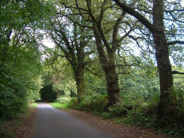
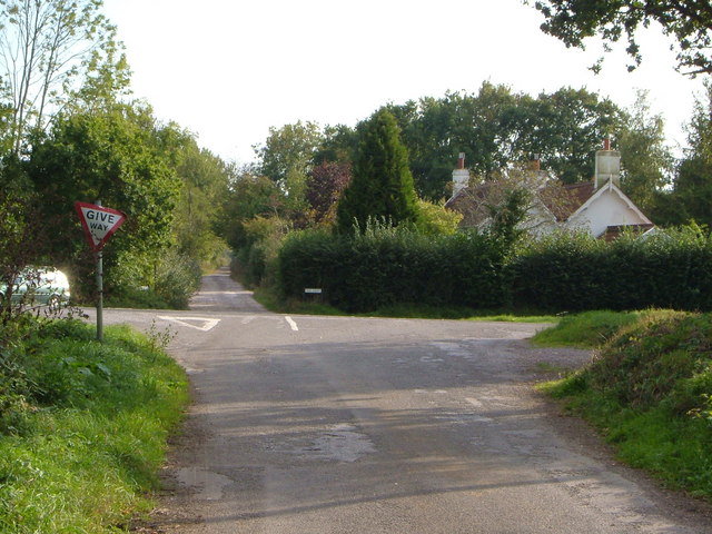
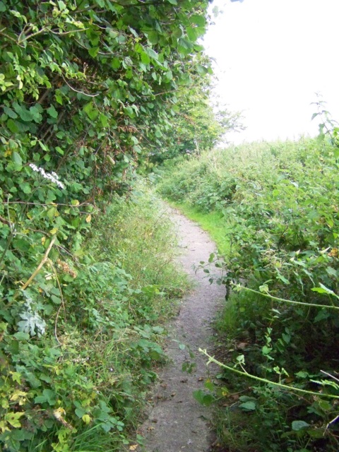
Visitors to Alder Grove can explore a network of winding pathways that meander through the trees, allowing them to immerse themselves in the peaceful surroundings. The forest floor is covered in a carpet of moss, ferns, and wildflowers, adding to the area's charm. The sounds of birds chirping and leaves rustling in the gentle breeze create a soothing ambiance, making it an ideal spot for relaxation and contemplation.
Alder Grove is also home to a small stream that meanders through the heart of the forest, adding to its serenity. The babbling brook provides a refreshing backdrop and offers an opportunity for visitors to engage in activities such as fishing or simply enjoying a picnic by its banks.
Overall, Alder Grove, Somerset is a captivating woodland destination for those seeking solace in nature's embrace. It offers a captivating escape from the bustle of everyday life, allowing visitors to reconnect with the natural world and find peace amidst the beauty of the forest.
If you have any feedback on the listing, please let us know in the comments section below.
Alder Grove Images
Images are sourced within 2km of 50.88076/-2.9290363 or Grid Reference ST3409. Thanks to Geograph Open Source API. All images are credited.


Alder Grove is located at Grid Ref: ST3409 (Lat: 50.88076, Lng: -2.9290363)
Administrative County: Somerset
District: South Somerset
Police Authority: Avon and Somerset
What 3 Words
///flattery.carting.creatures. Near Chard, Somerset
Nearby Locations
Related Wikis

Chaffcombe
Chaffcombe is a village and civil parish in Somerset, England, situated 2 miles (3.2 km) north east of Chard in the South Somerset district. The village...
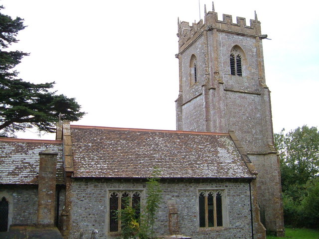
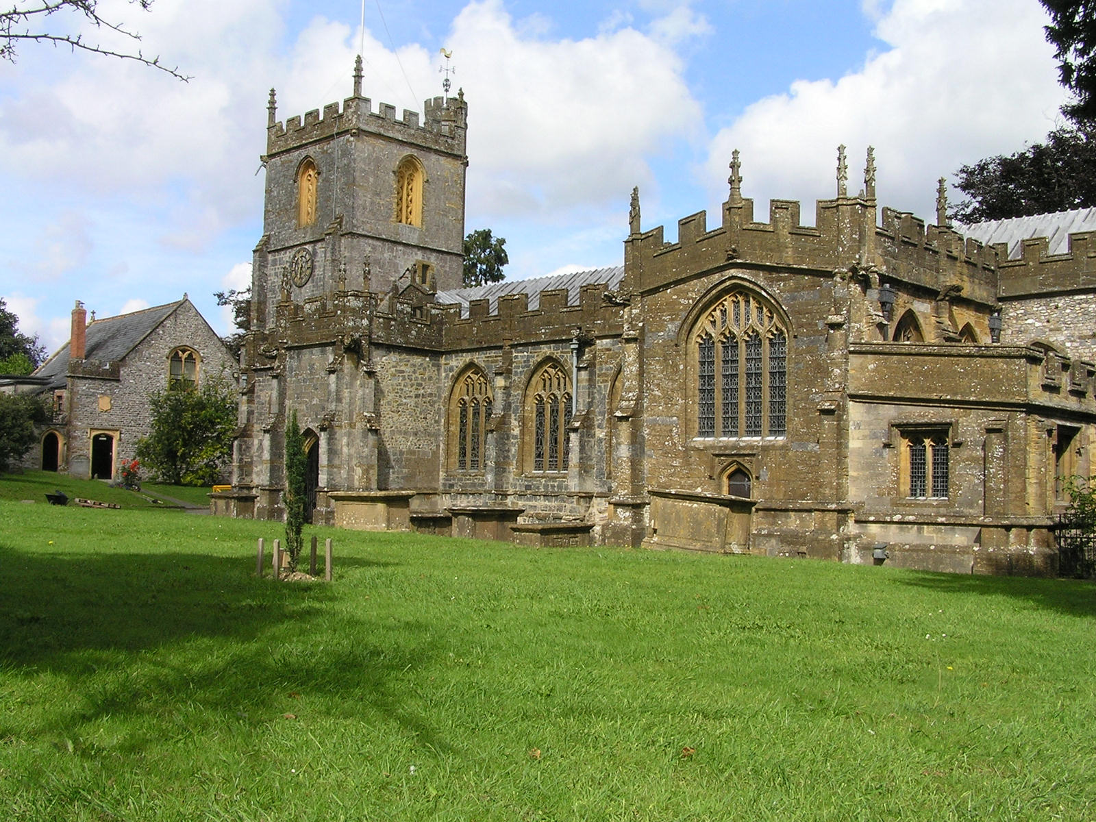
Church of St Michael and All Angels, Chaffcombe
The Anglican Church of St Michael and All Angels in Chaffcombe, Somerset, England was built in the 15th century. It is a Grade II* listed building. �...
Chard Reservoir
Chard Reservoir is a 36.97-hectare (91.4-acre) reservoir north east of Chard Somerset, England. It is owned and managed by South Somerset District Council...

Chard Central railway station
Chard Central railway station was the principal railway station in Chard, Somerset, England. It was opened in 1866 and closed in 1962, during which time...

Knowle St Giles
Knowle St Giles is a village and civil parish in the South Somerset district of Somerset, England, situated on the River Isle 2 miles (3 km) south of Ilminster...

Chard Museum
Chard Museum is a small local museum in Chard, Somerset, England. It opened in 1970, in a converted 16th century listed building, with collections of exhibits...
Chard, Somerset
Chard is a town and a civil parish in the English county of Somerset. It lies on the A30 road near the Devon and Dorset borders, 15 miles (24 km) south...

Chard Rural District
Chard was a rural district in Somerset, England, from 1894 to 1974. It was created in 1894 under the Local Government Act 1894. In 1974 it was abolished...
Related Videos

Cricket St Thomas June 2022
One week stay at Warners Hotel.

Travelling Light
On Holiday with some friends the wife and Quingo my mobility scooter enjoying this good weather at Cricket St Thomas. Music by ...

Lost Railway walk, Chard to Donyatt Halt, Somerset.
A lost railway line wander between Chard central station and Donyatt Halt.

Never Give In
Filmed from my Mobility Scooter whilst staying at Warners Cricket St Thomas enjoy. Cheers Bob,
Nearby Amenities
Located within 500m of 50.88076,-2.9290363Have you been to Alder Grove?
Leave your review of Alder Grove below (or comments, questions and feedback).