The Beeches
Wood, Forest in Shropshire
England
The Beeches

The Beeches is a picturesque woodland located in Shropshire, England. It is part of the larger Shropshire Hills Area of Outstanding Natural Beauty, renowned for its stunning landscapes and diverse wildlife. This ancient woodland covers an area of approximately 100 acres and is predominantly populated by beech trees, which give the woodland its name.
The Beeches offers a tranquil and enchanting setting, attracting nature lovers, hikers, and photographers alike. The forest floor is blanketed with a rich carpet of bluebells during the spring months, creating a vibrant and breathtaking sight. Visitors can also spot various other wildflowers, such as wood sorrel and primroses, adding to the woodland's natural beauty.
The woodland is home to a wide range of wildlife, making it a popular spot for birdwatchers and animal enthusiasts. Bird species such as woodpeckers, owls, and warblers can be spotted throughout the year, while lucky visitors may even catch a glimpse of elusive mammals like badgers and foxes.
The Beeches also offers several well-maintained trails and footpaths, allowing visitors to explore the woodland at their own pace. These paths lead through the thick forest, providing a serene and immersive experience for nature enthusiasts. Additionally, there are designated picnic areas and benches, allowing visitors to relax and enjoy the peaceful surroundings.
Overall, The Beeches in Shropshire is a captivating woodland that showcases the natural beauty of the region. With its ancient trees, colorful wildflowers, and abundant wildlife, it offers a truly remarkable experience for anyone seeking a connection with nature.
If you have any feedback on the listing, please let us know in the comments section below.
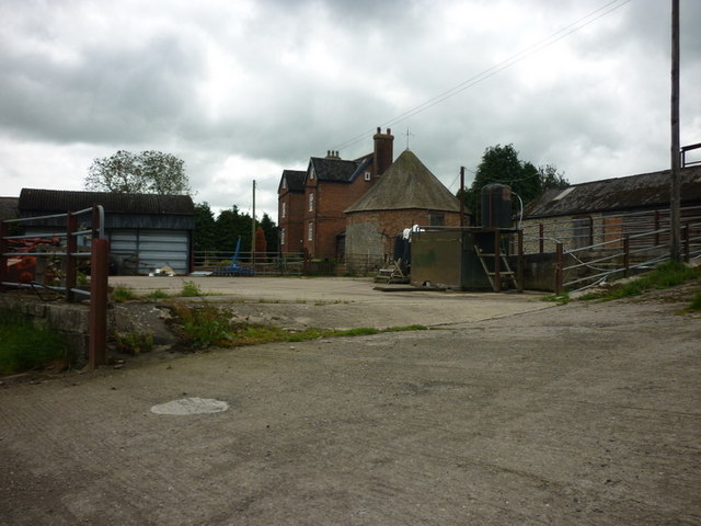
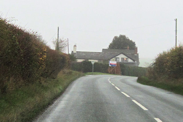
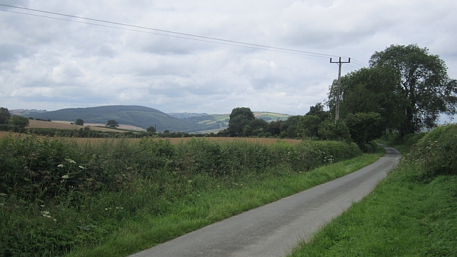
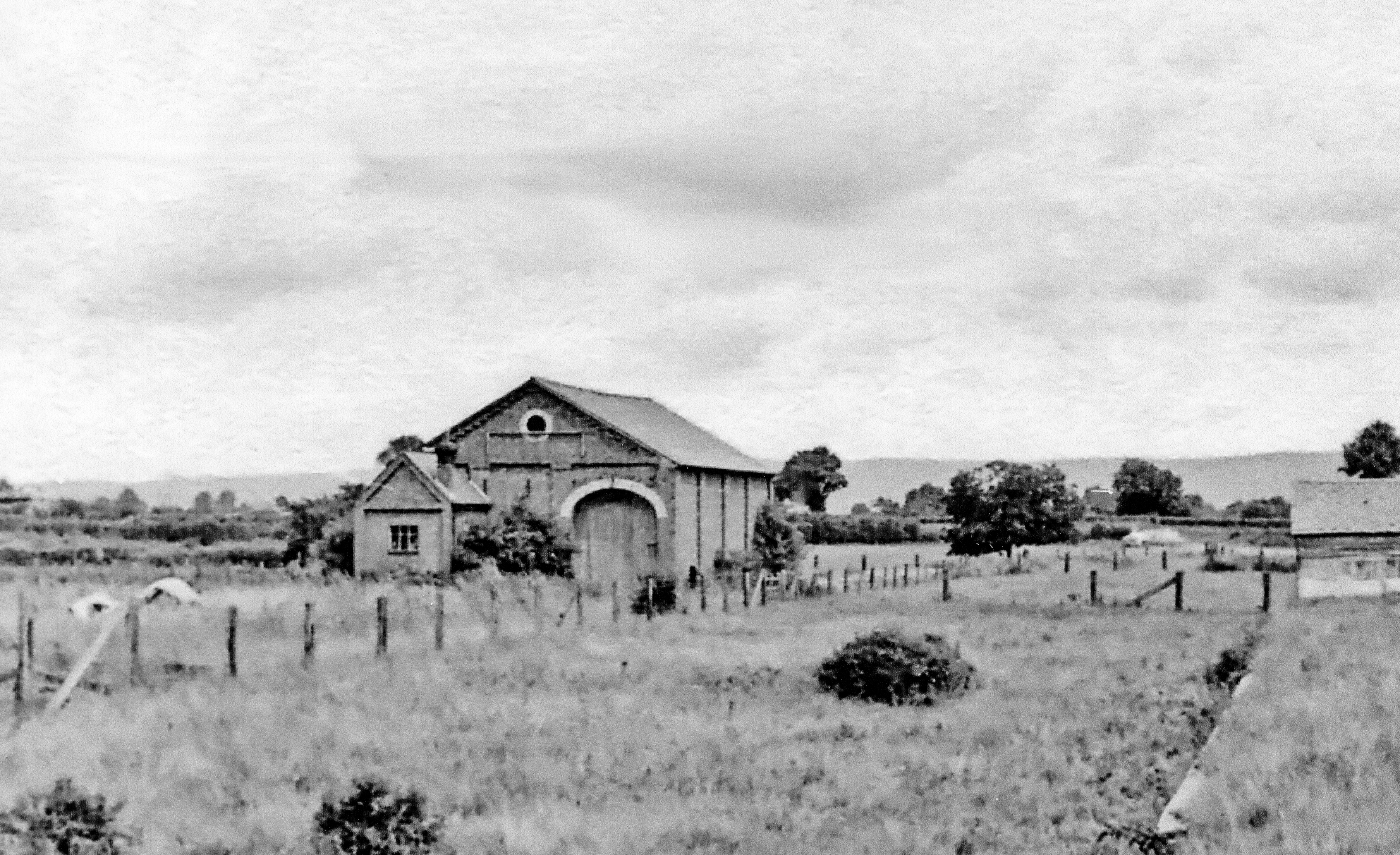
The Beeches Images
Images are sourced within 2km of 52.476785/-2.9621323 or Grid Reference SO3486. Thanks to Geograph Open Source API. All images are credited.


The Beeches is located at Grid Ref: SO3486 (Lat: 52.476785, Lng: -2.9621323)
Unitary Authority: Shropshire
Police Authority: West Mercia
What 3 Words
///lots.interacts.cavalier. Near Bishop's Castle, Shropshire
Nearby Locations
Related Wikis

Lydbury North
Lydbury North ( LID-bree) is a village and a geographically large civil parish in south Shropshire, England. The population of the parish at the 2011 census...

Clun and Bishop's Castle Rural District
Clun and Bishop's Castle was a rural district in Shropshire, England from 1894 to 1974. It was created by the Local Government Act 1894 as the Clun Rural...
Bishop's Castle Community College
Bishop's Castle Community College is a coeducational secondary school located in Bishop's Castle in the English county of Shropshire.Established in 1922...
Bishop's Castle railway station
Bishop's Castle railway station was a station in Bishop's Castle, Shropshire, England. The station was opened on 1 February 1866 and closed on 20 April...

Colebatch, Shropshire
Colebatch is a small village and civil parish in southwest Shropshire, England. The population of the Civil Parish as at the 2011 census was 210.The village...

Bishop's Castle
Bishop's Castle is a market town in the south west of Shropshire, England. According to the 2011 Census it had a population of 1,893. Bishop's Castle is...
Bishop's Castle Town Hall
Bishop's Castle Town Hall is a municipal building in the High Street in Bishop's Castle, Shropshire, England. The building, which is the meeting place...

Plowden, Shropshire
Plowden is a hamlet in the parish of Lydbury North, Shropshire, England. It is in the valley of the River Onny and lies 3 miles east of Bishop's Castle...
Nearby Amenities
Located within 500m of 52.476785,-2.9621323Have you been to The Beeches?
Leave your review of The Beeches below (or comments, questions and feedback).