Paintmoor
Settlement in Somerset South Somerset
England
Paintmoor
Paintmoor is a small village situated in the county of Somerset, England. It is located approximately 5 miles south of the town of Taunton and is surrounded by scenic countryside and rolling hills. The village is home to a population of around 500 residents.
Paintmoor has a rich history, with evidence of human settlement dating back to the prehistoric era. The area is known for its archaeological sites, including several Bronze Age burial mounds and Iron Age hillforts. These historical remnants make Paintmoor an attractive destination for history enthusiasts and researchers.
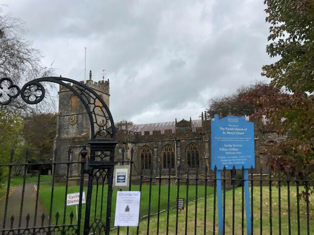
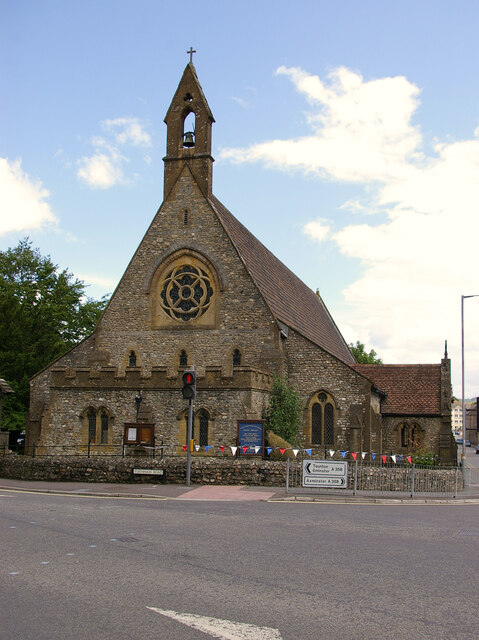
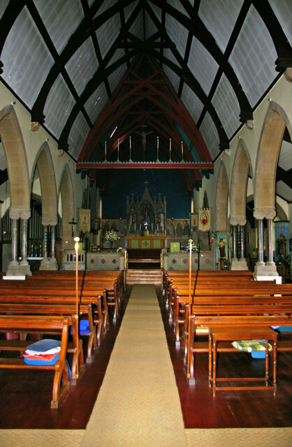
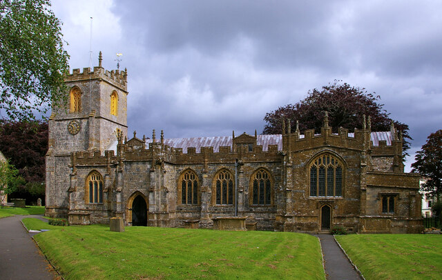
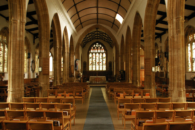
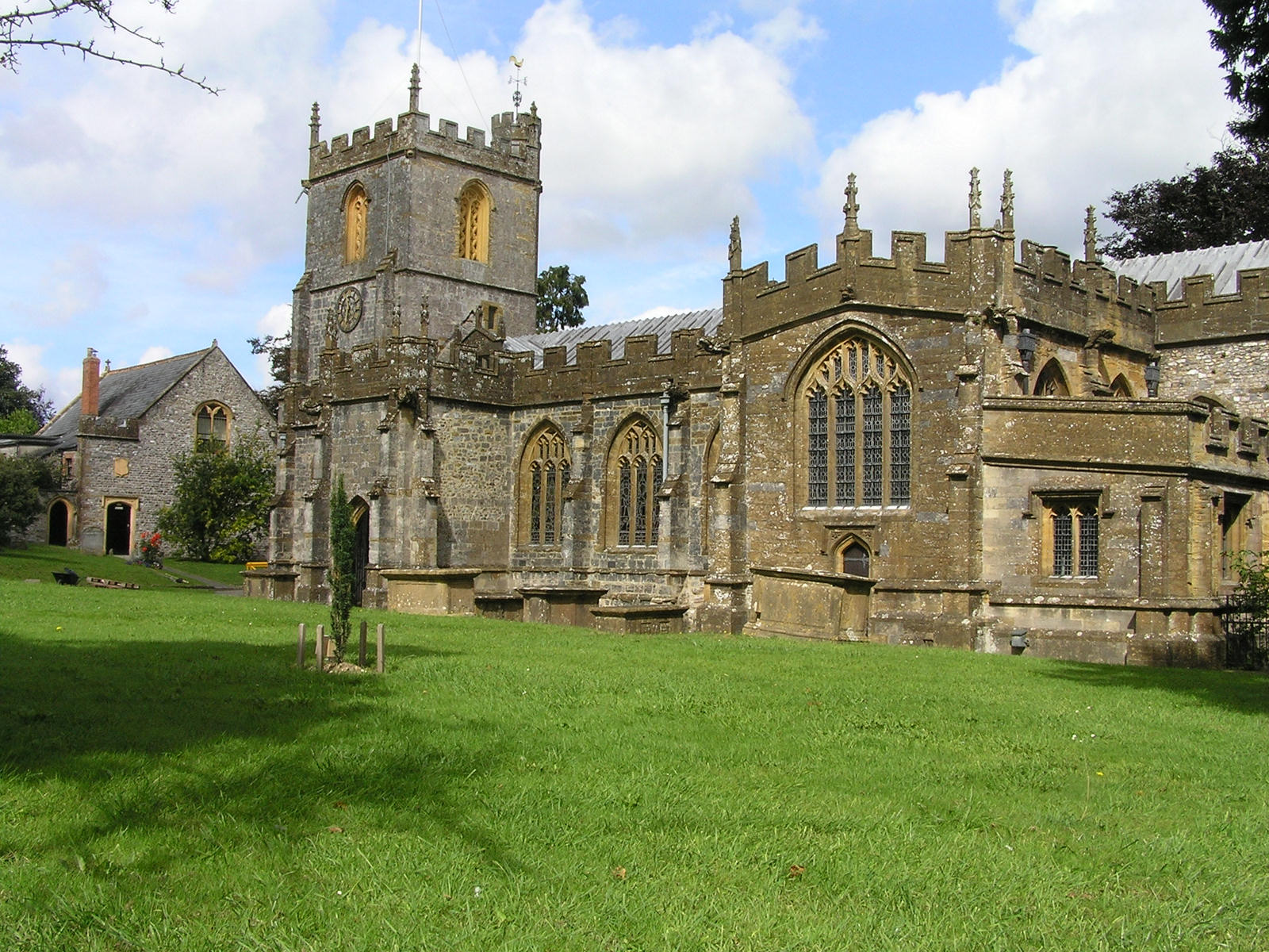
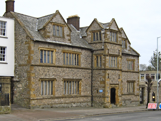
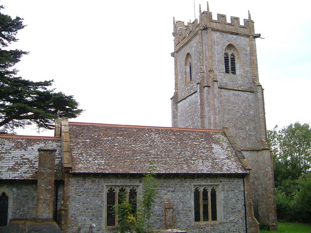
The village itself is characterized by its quaint charm and traditional English architecture. It features a picturesque church, St. Mary's, which dates back to the 13th century and is a prominent landmark in the area. The church is known for its beautiful stained glass windows and intricate stone carvings.
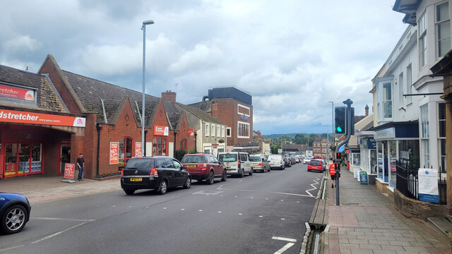
Paintmoor offers a range of amenities for its residents, including a primary school, a village hall, and a local pub. The village is well-connected to the surrounding areas by road, with regular bus services to Taunton and other nearby towns.
The natural beauty of Paintmoor and its surrounding countryside provides ample opportunities for outdoor activities such as hiking, cycling, and horseback riding. The village also hosts an annual summer fête, which attracts visitors from the surrounding areas.
Overall, Paintmoor is a charming and historic village that offers a tranquil and idyllic setting for its residents and visitors alike.
If you have any feedback on the listing, please let us know in the comments section below.
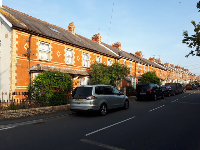
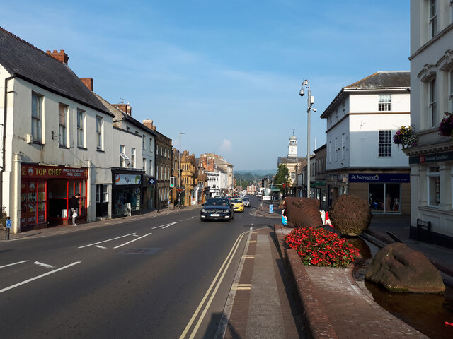
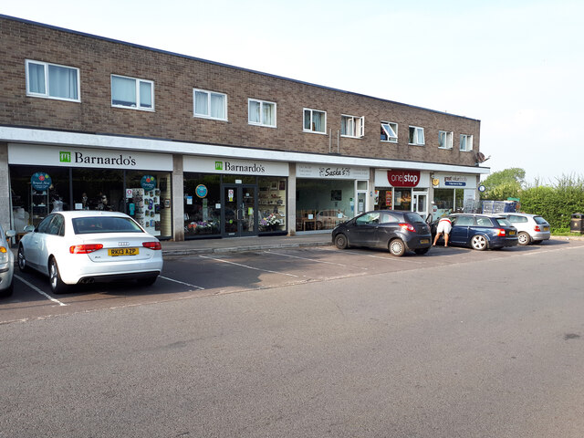
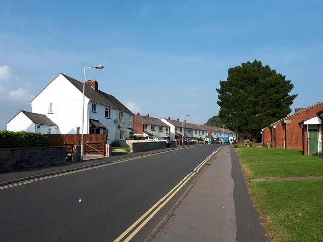
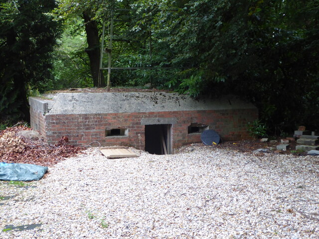
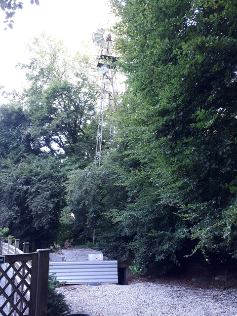
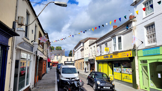
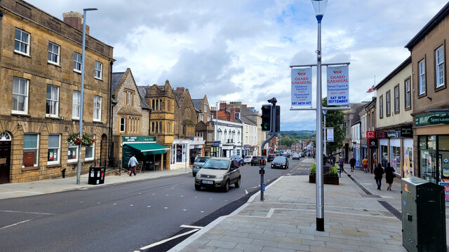
Paintmoor Images
Images are sourced within 2km of 50.876711/-2.9394453 or Grid Reference ST3409. Thanks to Geograph Open Source API. All images are credited.

Paintmoor is located at Grid Ref: ST3409 (Lat: 50.876711, Lng: -2.9394453)
Administrative County: Somerset
District: South Somerset
Police Authority: Avon and Somerset
What 3 Words
///entitles.sank.investor. Near Chard, Somerset
Nearby Locations
Related Wikis
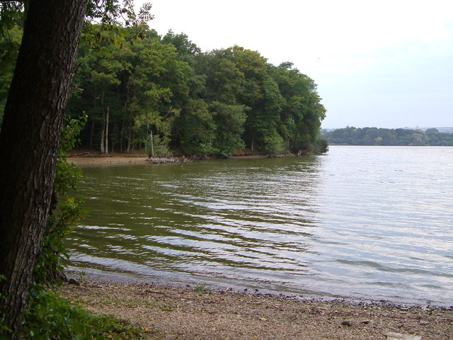
Chard Reservoir
Chard Reservoir is a 36.97-hectare (91.4-acre) reservoir north east of Chard Somerset, England. It is owned and managed by South Somerset District Council...
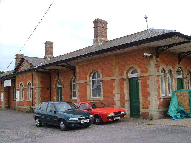
Chard Central railway station
Chard Central railway station was the principal railway station in Chard, Somerset, England. It was opened in 1866 and closed in 1962, during which time...

Chard Museum
Chard Museum is a small local museum in Chard, Somerset, England. It opened in 1970, in a converted 16th century listed building, with collections of exhibits...
Chard, Somerset
Chard is a town and a civil parish in the English county of Somerset. It lies on the A30 road near the Devon and Dorset borders, 15 miles (24 km) south...

Chard Rural District
Chard was a rural district in Somerset, England, from 1894 to 1974. It was created in 1894 under the Local Government Act 1894. In 1974 it was abolished...
Chard School
Chard School is a coeducational private school for children ages 4 to 11 located in the town of Chard in the English county of Somerset. The school is...
Chaffcombe
Chaffcombe is a village and civil parish in Somerset, England, situated 2 miles (3.2 km) north east of Chard in the South Somerset district. The village...
Holyrood Academy
Welcome to Holyrood Academy Wiki page. Holyrood Academy, previously known as Holyrood Community School before September 2010, is a secondary school with...
Related Videos

Lost Railway walk, Chard to Donyatt Halt, Somerset.
A lost railway line wander between Chard central station and Donyatt Halt.

Exploring Forde Abbey part 2
Exploring Forde Abbey part 2 Join me again in exploring the huge garden of Forde Abbey.

Climbing adventure
Weekend adventure rock climbing with a great picnic with great company. So good to have a whole day at this amazing spot and ...

Nearby Amenities
Located within 500m of 50.876711,-2.9394453Have you been to Paintmoor?
Leave your review of Paintmoor below (or comments, questions and feedback).