Dale Park Scar Plantation
Wood, Forest in Lancashire South Lakeland
England
Dale Park Scar Plantation
Dale Park Scar Plantation is a picturesque woodland area located in Lancashire, England. It is a popular destination for nature enthusiasts and hikers due to its serene atmosphere and abundant natural beauty.
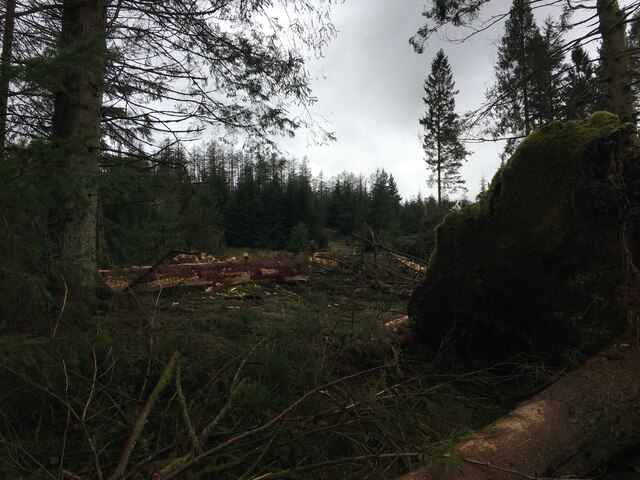
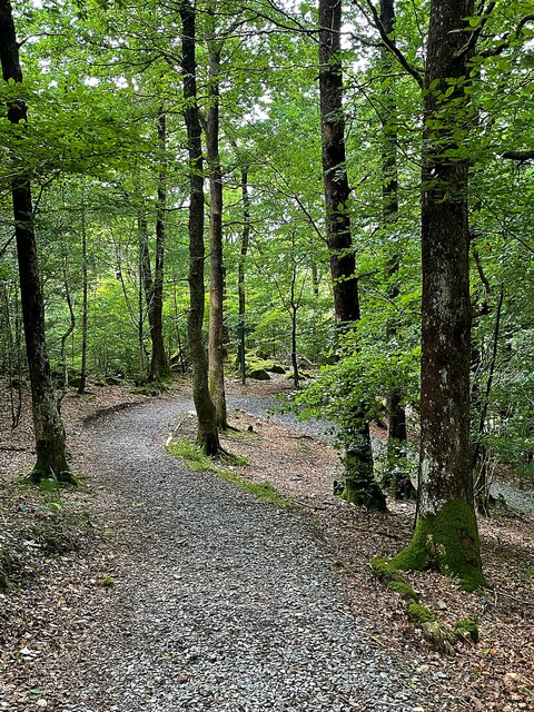
Covering an area of approximately 200 acres, Dale Park Scar Plantation is characterized by its dense and diverse forest. The plantation consists mainly of deciduous trees such as oak, beech, and ash, which create a stunning canopy of foliage during the spring and summer months. These trees provide shelter and food for a variety of wildlife, including birds, small mammals, and insects.
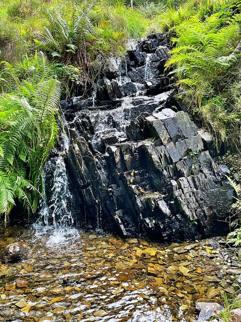
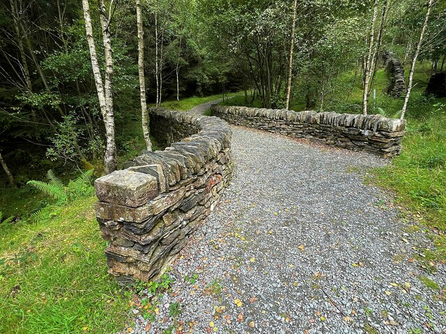
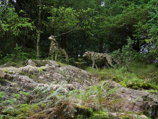
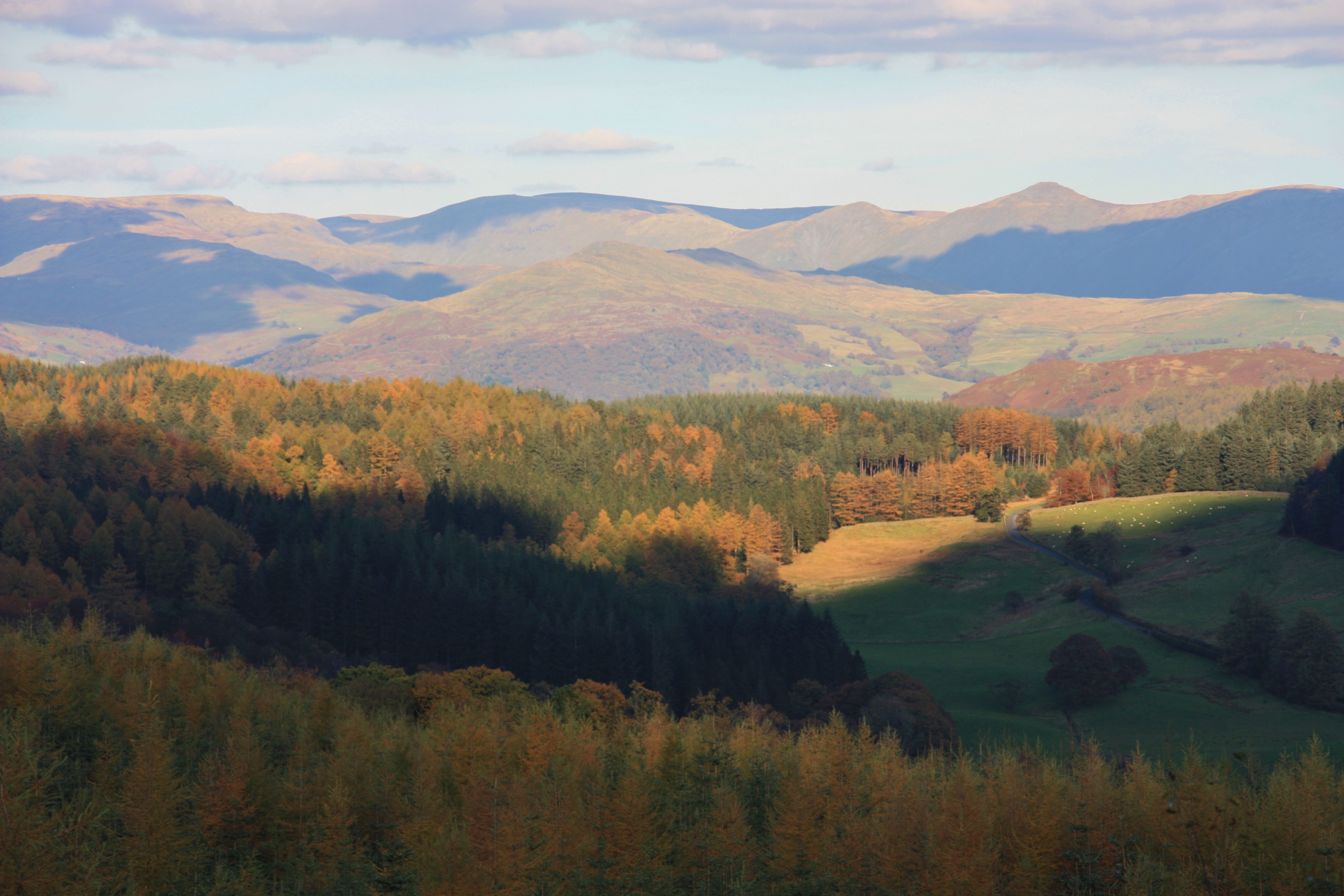
The woodland is crisscrossed with a network of well-maintained footpaths, allowing visitors to explore the plantation at their own pace. These trails lead visitors through vibrant wildflower meadows, babbling brooks, and enchanting clearings. In addition to the natural beauty, the plantation also offers stunning panoramic views of the surrounding Lancashire countryside.
Dale Park Scar Plantation is managed by the local forestry commission, who ensure the preservation and conservation of the woodland. They actively engage in sustainable forestry practices, including selective tree felling and replanting, to maintain the health and diversity of the plantation.
Overall, Dale Park Scar Plantation is a hidden gem in Lancashire, offering visitors a chance to immerse themselves in nature and experience the tranquility of a thriving woodland ecosystem.
If you have any feedback on the listing, please let us know in the comments section below.
Dale Park Scar Plantation Images
Images are sourced within 2km of 54.320829/-3.0049262 or Grid Reference SD3492. Thanks to Geograph Open Source API. All images are credited.


Dale Park Scar Plantation is located at Grid Ref: SD3492 (Lat: 54.320829, Lng: -3.0049262)
Administrative County: Cumbria
District: South Lakeland
Police Authority: Cumbria
What 3 Words
///hacking.steepest.battling. Near Windermere, Cumbria
Related Wikis

Satterthwaite
Satterthwaite is a small village (and civil parish) with around 50 dwellings situated in Grizedale, a valley in the Lake District, England, about four...

Satterthwaite & Rusland School
Satterthwaite & Rusland School was a Church of England Primary school near Force Forge in the Rusland Valley. The school was established in 1840 for children...

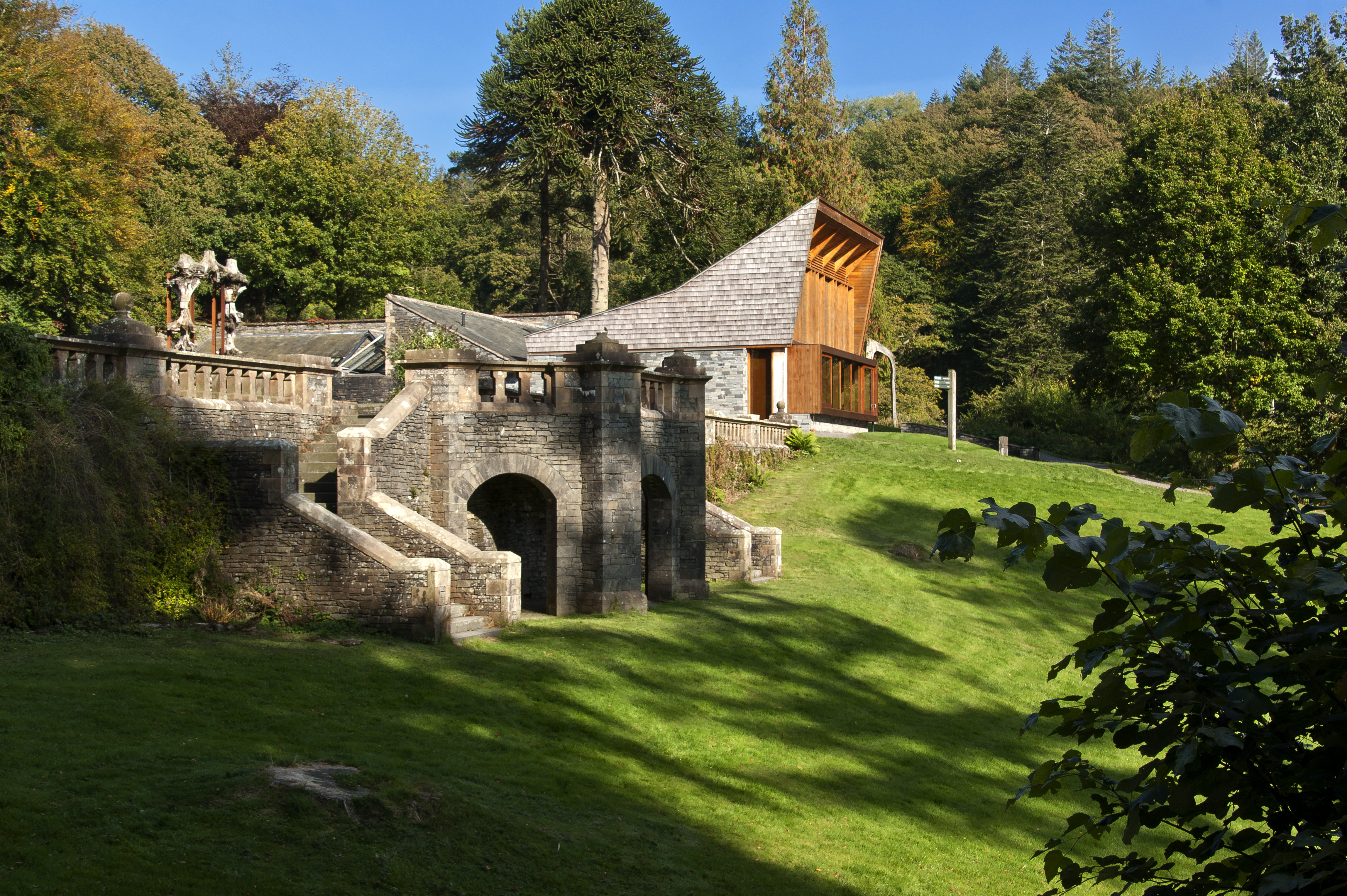
Grizedale Hall
Grizedale Hall was a large country house at Grizedale, Hawkshead, in the Lake District in Cumbria, England. After two earlier Grizedale Halls had preceded...
Grizedale Forest
Grizedale Forest is a 24.47 km2 area of woodland in the Lake District of North West England, located to the east of Coniston Water and to the south of...
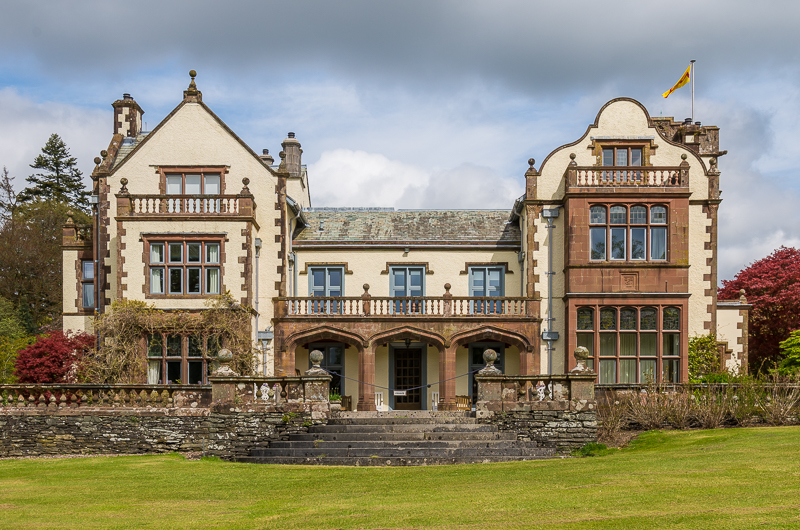
Graythwaite Hall
Graythwaite Hall, in Ulverston, Cumbria in the Lake District of England is the home of the Sandys family. One of the more famous members of the family...
Grizedale
Grizedale is a hamlet in the Lake District of North West England, in the middle of the Grizedale Forest, located north of Satterthwaite and south of Hawkshead...

Crosslands
Crosslands is a hamlet in the South Lakeland district of Cumbria, England. It is located just to the northeast of Rusland in the civil parish of Colton...
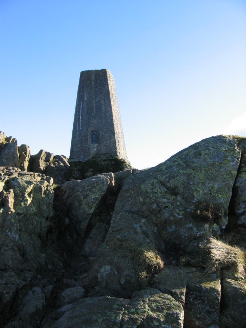
Carron Crag
Carron Crag is a small fell in Grizedale Forest in the English Lake District with a height of 314 metres (1,030 ft). Adjacent to the trig point is a large...
Nearby Amenities
Located within 500m of 54.320829,-3.0049262Have you been to Dale Park Scar Plantation?
Leave your review of Dale Park Scar Plantation below (or comments, questions and feedback).