Whelpers Wood

Wood, Forest in Lancashire South Lakeland

England

Whelpers Wood

Track on Iron Keld - Fog on Coniston Water in distance
Track on Iron Keld - Fog on Coniston Water in distance Credit: Anthony Parkes

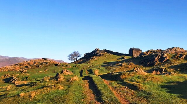
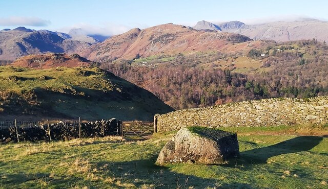
Whelpers Wood is a picturesque forest located in Lancashire, England. Spanning over a vast area, the wood is known for its lush greenery and diverse wildlife, making it a popular destination for nature enthusiasts and hikers alike.

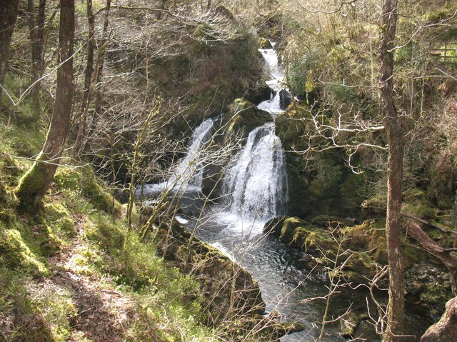
The wood is characterized by dense foliage consisting of various tree species such as oak, beech, and ash. These majestic trees create a tranquil atmosphere, offering shade and shelter to the numerous animals that call Whelpers Wood their home. Visitors to the wood can expect to encounter a wide range of wildlife, including deer, squirrels, rabbits, and a variety of bird species.

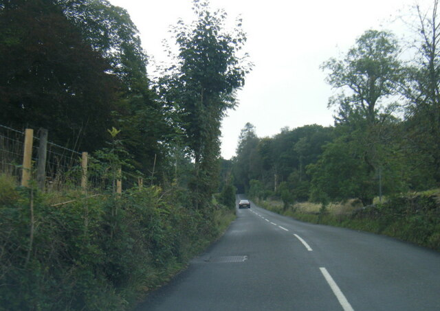
Trails wind through the wood, allowing visitors to explore its beauty at their own pace. The paths are well-maintained, making it an accessible destination for people of all ages and abilities. As visitors venture deeper into the wood, they will come across a small stream that adds to the enchanting ambiance of the forest.

Whelpers Wood is also known for its historical significance. It has been mentioned in local folklore and legends, adding a touch of mystery to the wood. The ancient trees and the sense of timelessness that pervades the area make it a truly special place.

Overall, Whelpers Wood offers a serene and captivating experience for those seeking to immerse themselves in nature's beauty. Its lush greenery, diverse wildlife, and historical significance make it a must-visit destination for both locals and tourists in Lancashire.

If you have any feedback on the listing, please let us know in the comments section below.

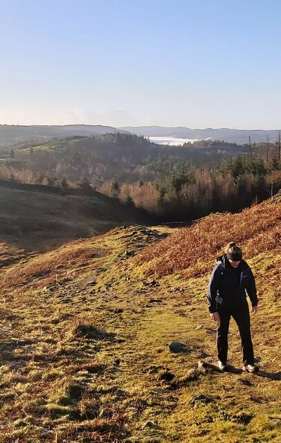
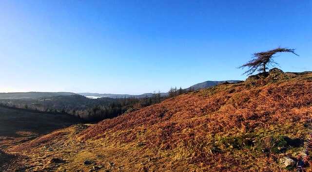
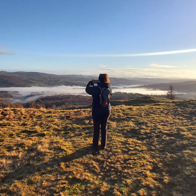
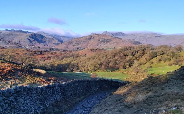
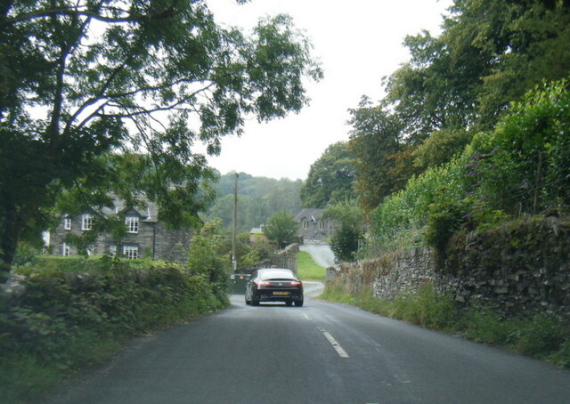
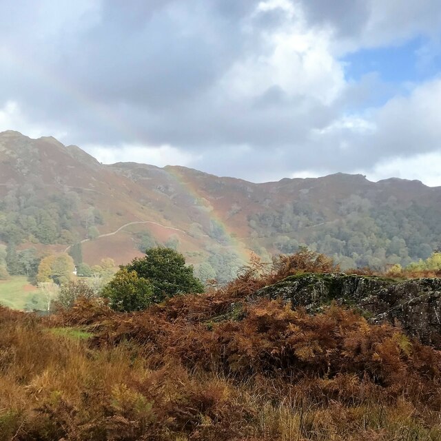
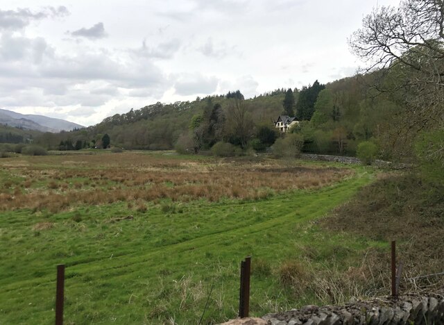
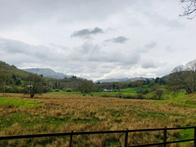
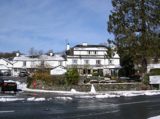
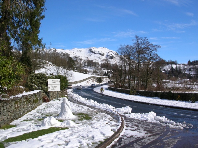
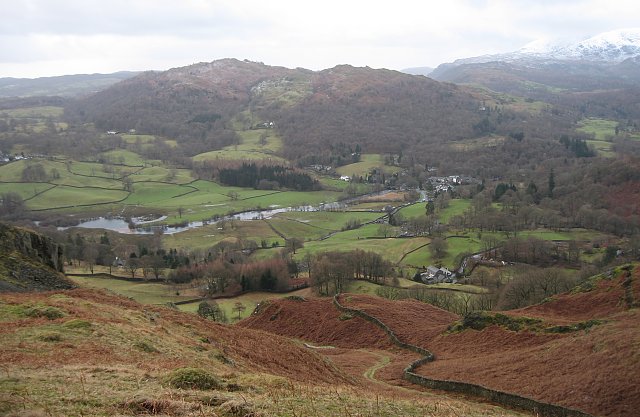
Whelpers Wood Images

Images are sourced within 2km of 54.415509/-3.0096298 or Grid Reference NY3402. Thanks to Geograph Open Source API. All images are credited.

Track on Iron Keld - Fog on Coniston Water in distance
Arnside Plantation
Arnside Plantation
View from Black Crag with fog over Windermere distant
Photographer on Black Crag
Black Crag Trig Point
Footpath below Iron Keld
Track to The Hog House Holiday Rental Cabin
Track to The Hog House
Holiday Rental Cabin
Large Boulder near the gateway to Hollin Bank
Shadows at Hollin Bank
Colwith Force Viewed from Atkinson’s Coppice, the left bank of the River Brathay here at Colwith Force was the county boundary between Lancashire (to the south) and Westmorland until Local Government Reorganisation in 1974.
The Colwith Force Alternative Route of The Cumbria Way passes beside the falls.
Colwith Force
Viewed from Atkinson’s Coppice, the left bank of the River Brathay here at Colwith Force was the county boundary between Lancashire (to the south) and Westmorland until Local Government Reorganisation in 1974. The Colwith Force Alternative Route of The Cumbria Way passes beside the falls.
B5286 near Beck Pane Wood
B5286 near Pull Wyke
Rainbow and Loughrigg Fell - from Crag Head
View north towards Fairfield - from Barngates
Flood plain of the River Brathay West of Clappersgate
Flood plain of the River Brathay
West of Clappersgate
View to Skelwith Fold Flood plain of the River Brathay to the fore
View to Skelwith Fold
Flood plain of the River Brathay to the fore
River Brathay valley There is a large area of flood plain to the north of the river between Skelwith Bridge and Clappersgate
River Brathay valley
There is a large area of flood plain to the north of the river between Skelwith Bridge and Clappersgate
Marshy field near the River Brathay
Show me another place!

Whelpers Wood is located at Grid Ref: NY3402 (Lat: 54.415509, Lng: -3.0096298)

Administrative County: Cumbria

District: South Lakeland

Police Authority: Cumbria

What 3 Words

///surprises.hobble.copies. Near Ambleside, Cumbria

Related Wikis

Skelwith Bridge

Skelwith Bridge is a small village in the southern area of the Lake District in Cumbria, England. Historically, Skelwith Bridge is part of Westmorland...

Skelwith

Skelwith is a civil parish in South Lakeland, Cumbria, England, which includes the village of Skelwith Bridge. In the 2001 census the parish had a population...

Brathay

Brathay is a parish in Cumbria, England. Brathay Hall and the surrounding estate belong to a charity, Brathay Trust. == See also == Listed buildings in...

Black Fell (Lake District)

Black Fell is a fell in the English Lake District. It rises to the north of Tarn Hows, between Coniston and Hawkshead. == Topography == Black Fell is the...

Nearby Amenities

Located within 500m of 54.415509,-3.0096298
Bull Close
Is In Country Code: GB
Is In County: Cumbria
Is In Region: Lake District
Natural: fell
Source: npe
Lat/Long: 54.4129131/-3.0136347
View point looking north west
Direction: 315
Tourism: viewpoint
Lat/Long: 54.4173304/-3.0036856
Post Box
Collection Times: Mo-Fr 10:00, Sa 07:00
Ref: LA22 227
Royal Cypher: EIIR
Royal Cypher Wikidata: Q33102113
Lat/Long: 54.4160304/-3.0020665
Barrier: cattle_grid
Lat/Long: 54.4171768/-3.0038518
Power: pole
Lat/Long: 54.4132742/-3.0052821
Power: pole
Lat/Long: 54.4140179/-3.0054361
Power: pole
Lat/Long: 54.4147896/-3.0069016
Addr Housename: Manor Cottage
Lat/Long: 54.4162973/-3.0020251
Power: pole
Lat/Long: 54.415496/-3.0079257
Power: pole
Lat/Long: 54.4160743/-3.0088128
Power: pole
Lat/Long: 54.417527/-3.0109506
Power: pole
Lat/Long: 54.418242/-3.0120147
Power: pole
Lat/Long: 54.4184705/-3.0128848
Power: pole
Lat/Long: 54.4187921/-3.0141137
Power: pole
Lat/Long: 54.4164833/-3.0026417
Power: pole
Lat/Long: 54.4148825/-3.0044402
Power: pole
Lat/Long: 54.4126663/-3.0042319
Entrance: main
Lat/Long: 54.4192513/-3.0114632
The data included in this document is from www.openstreetmap.org. The data is made available under ODbL.

Have you been to Whelpers Wood?

Leave your review of Whelpers Wood below (or comments, questions and feedback).