Black Fell
Downs, Moorland in Lancashire South Lakeland
England
Black Fell
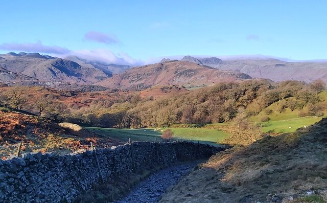
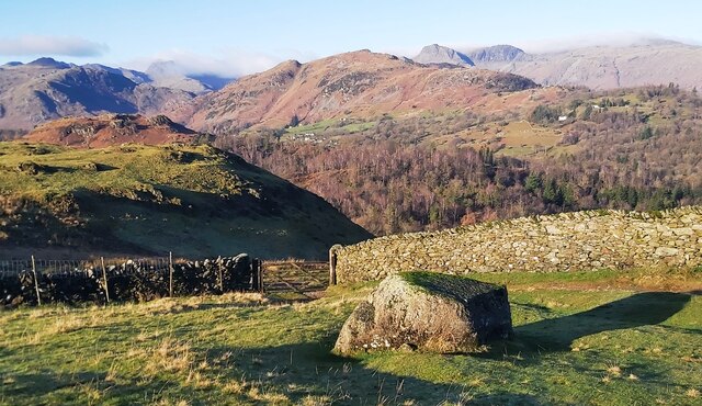
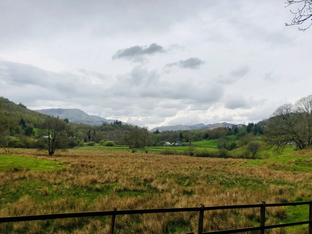
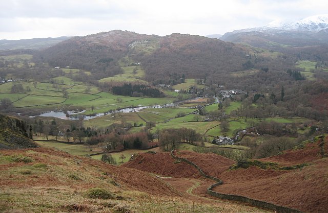
Black Fell is a picturesque area located in the county of Lancashire, England. Situated in the northern part of the county, it encompasses a vast expanse of downs and moorland that stretches across an area of approximately 50 square kilometers. The terrain is characterized by rolling hills, heather-clad moors, and scattered patches of woodland.
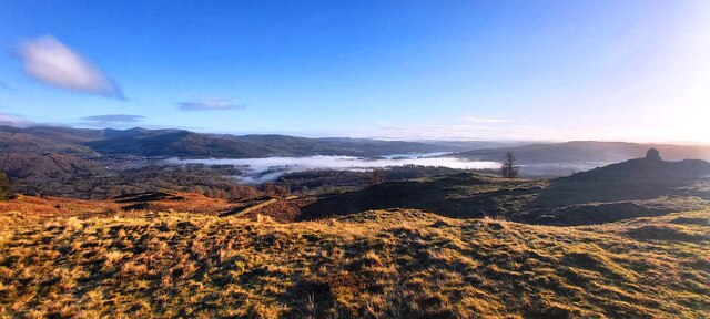
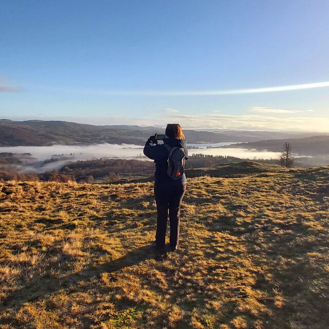
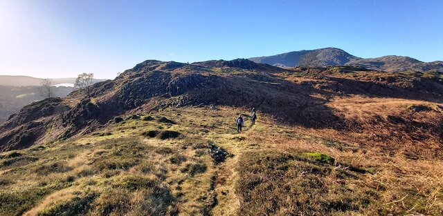
The landscape of Black Fell offers stunning panoramic views, with its high vantage points providing glimpses of the surrounding countryside. The area is rich in biodiversity, supporting a variety of flora and fauna. The moorland is home to numerous species of birds, including the elusive black grouse and the majestic golden eagle.
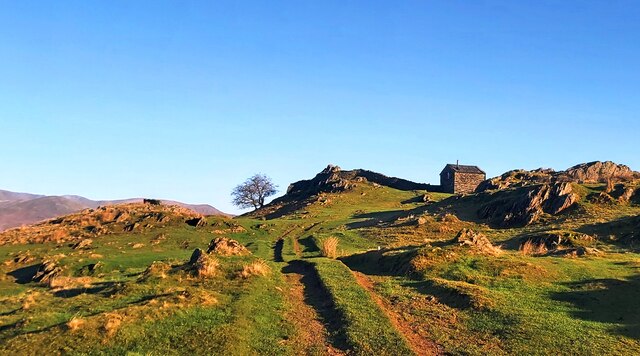
Walking and hiking enthusiasts are drawn to Black Fell for its extensive network of well-maintained footpaths and trails, which allow visitors to explore the area's natural beauty at their leisure. The area is also popular with cyclists, offering challenging routes that wind through the undulating hills.
In addition to its natural attractions, Black Fell boasts a rich historical heritage. The remains of ancient settlements, stone circles, and burial mounds can be found scattered throughout the area, providing a glimpse into the region's past.
Overall, Black Fell in Lancashire is a haven for nature lovers and those seeking a tranquil escape from the hustle and bustle of everyday life. Its stunning landscapes, diverse wildlife, and historical significance make it a must-visit destination for anyone looking to immerse themselves in the beauty of the English countryside.
If you have any feedback on the listing, please let us know in the comments section below.
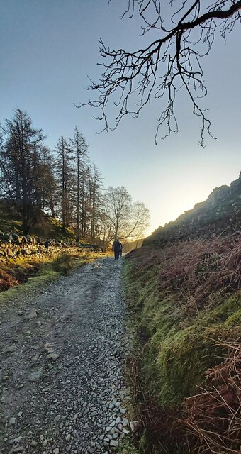
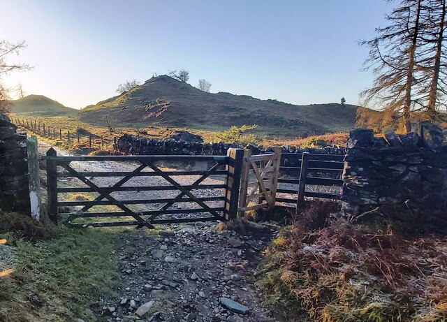
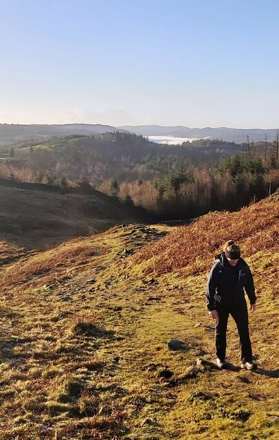
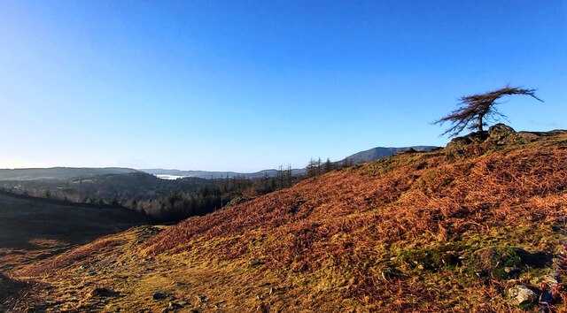
Black Fell Images
Images are sourced within 2km of 54.40926/-3.0164096 or Grid Reference NY3402. Thanks to Geograph Open Source API. All images are credited.


Black Fell is located at Grid Ref: NY3402 (Lat: 54.40926, Lng: -3.0164096)
Administrative County: Cumbria
District: South Lakeland
Police Authority: Cumbria
What 3 Words
///bandaged.blanks.skewing. Near Ambleside, Cumbria
Nearby Locations
Related Wikis
Black Fell (Lake District)
Black Fell is a fell in the English Lake District. It rises to the north of Tarn Hows, between Coniston and Hawkshead. == Topography == Black Fell is the...
Skelwith
Skelwith is a civil parish in South Lakeland, Cumbria, England, which includes the village of Skelwith Bridge. In the 2001 census the parish had a population...

Brathay
Brathay is a parish in Cumbria, England. Brathay Hall and the surrounding estate belong to a charity, Brathay Trust. == See also == Listed buildings in...
Skelwith Bridge
Skelwith Bridge is a small village in the southern area of the Lake District in Cumbria, England. Historically, Skelwith Bridge is part of Westmorland...
Nearby Amenities
Located within 500m of 54.40926,-3.0164096Have you been to Black Fell?
Leave your review of Black Fell below (or comments, questions and feedback).