Ashes Coppice
Wood, Forest in Lancashire South Lakeland
England
Ashes Coppice

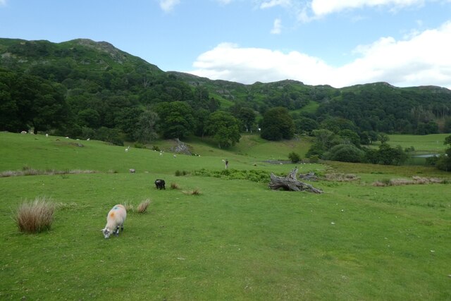
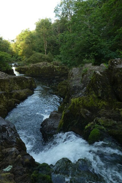
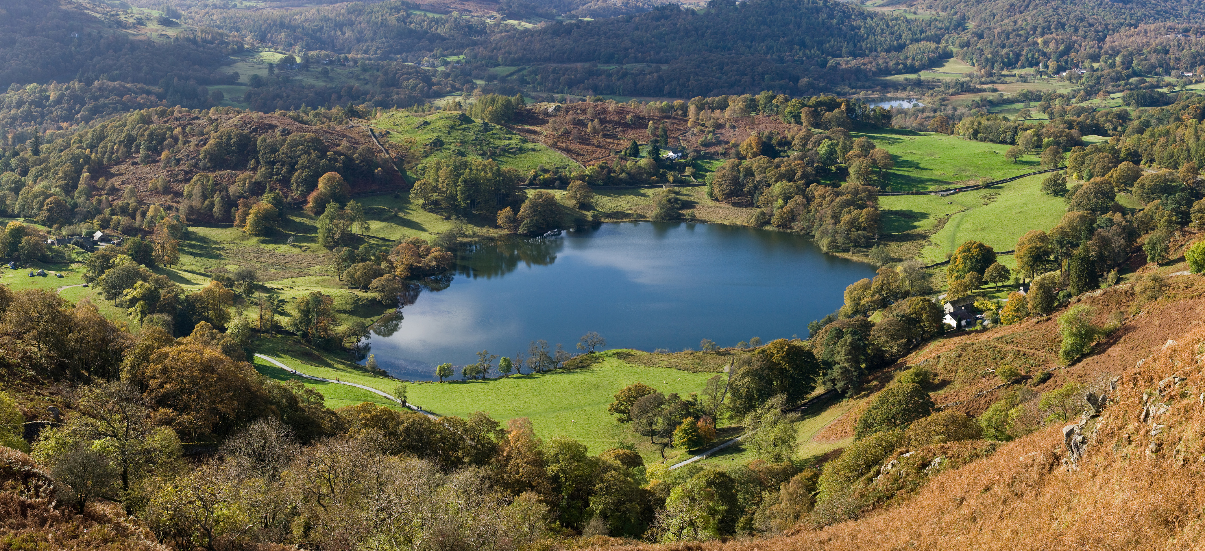
Ashes Coppice is a woodland area located in Lancashire, England. Situated in the heart of the county, it covers an approximate area of [number] hectares. The coppice is known for its dense forest, consisting primarily of deciduous trees such as oak, beech, and ash.
The woodland is a haven for various wildlife species, including deer, badgers, foxes, and a wide variety of bird species. It provides a natural habitat and ecosystem for these animals, offering a safe space for them to thrive. The rich biodiversity of Ashes Coppice makes it a popular destination for nature enthusiasts, birdwatchers, and photographers.
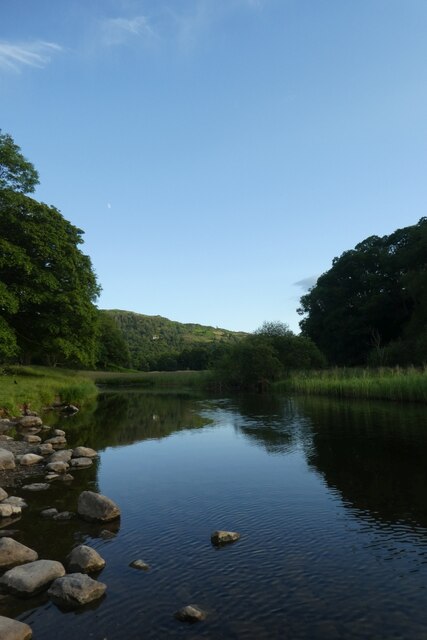
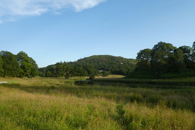
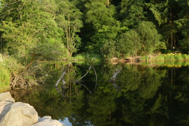
The coppice features well-maintained walking trails, allowing visitors to explore the beauty of the woodland at their own pace. These trails wind through the forest, leading visitors to hidden groves, tranquil ponds, and picturesque viewpoints. The wood is also home to a number of picnic spots, allowing visitors to relax and enjoy the peaceful surroundings.
Ashes Coppice has a rich history, dating back centuries. The area was traditionally used for coppicing, a practice of periodically cutting down trees to harvest their wood. This sustainable method has been employed in the past to provide a renewable source of timber for various purposes.
Today, Ashes Coppice is managed by a local conservation organization, ensuring the preservation and protection of its natural beauty. It serves as a valuable asset to the community, offering a serene escape from the hustle and bustle of city life. Whether one seeks a peaceful walk in nature or a chance to observe wildlife, Ashes Coppice provides a tranquil retreat in the heart of Lancashire.
If you have any feedback on the listing, please let us know in the comments section below.
Ashes Coppice Images
Images are sourced within 2km of 54.416853/-3.0080601 or Grid Reference NY3402. Thanks to Geograph Open Source API. All images are credited.


Ashes Coppice is located at Grid Ref: NY3402 (Lat: 54.416853, Lng: -3.0080601)
Administrative County: Cumbria
District: South Lakeland
Police Authority: Cumbria
What 3 Words
///madder.expires.angry. Near Ambleside, Cumbria
Nearby Locations
Related Wikis
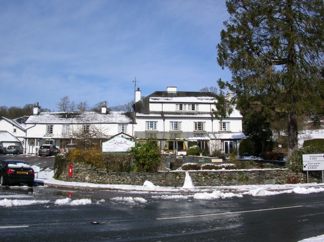
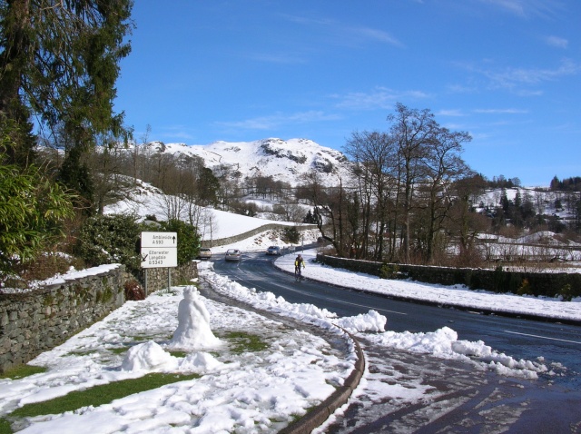
Skelwith Bridge
Skelwith Bridge is a small village in the southern area of the Lake District in Cumbria, England. Historically, Skelwith Bridge is part of Westmorland...

Brathay
Brathay is a parish in Cumbria, England. Brathay Hall and the surrounding estate belong to a charity, Brathay Trust. == See also == Listed buildings in...
Skelwith
Skelwith is a civil parish in South Lakeland, Cumbria, England, which includes the village of Skelwith Bridge. In the 2001 census the parish had a population...
Black Fell (Lake District)
Black Fell is a fell in the English Lake District. It rises to the north of Tarn Hows, between Coniston and Hawkshead. == Topography == Black Fell is the...

Lakes, Cumbria
Lakes is a civil parish in the Westmorland and Furness district, in the ceremonial county of Cumbria, England. In the 2001 census the parish had a population...
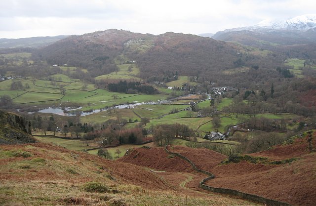
Loughrigg Tarn
Loughrigg Tarn () is a small, natural lake in the Lake District, Cumbria, England. It is situated north of Windermere, just north of the village of Skelwith...

Holy Trinity Church, Brathay
Holy Trinity Church is in Bog Lane in the village of Brathay, Cumbria, England. It is an active Anglican parish church in the deanery of Windermere, the...

Elter Water
Elter Water is a small lake in the Lake District in North West England, half a mile southeast of the village of the same name. It has a length of 0.62...
Nearby Amenities
Located within 500m of 54.416853,-3.0080601Have you been to Ashes Coppice?
Leave your review of Ashes Coppice below (or comments, questions and feedback).