Border Moss Wood
Wood, Forest in Lancashire South Lakeland
England
Border Moss Wood

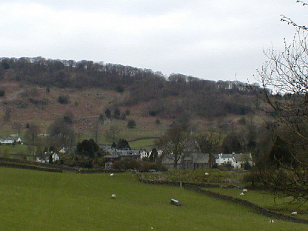
Border Moss Wood is a picturesque woodland located in Lancashire, England. Situated near the border between Lancashire and Greater Manchester, this woodland is a popular destination for nature enthusiasts and outdoor enthusiasts alike.
Covering an area of approximately 100 acres, Border Moss Wood is known for its diverse range of flora and fauna. The woodland is primarily composed of deciduous trees, including oak, beech, and birch, which create a stunning canopy during the spring and summer months. The forest floor is covered in a thick carpet of moss, giving the woodland its name.
The woodland is home to a variety of wildlife, making it a haven for nature lovers. Visitors may be lucky enough to spot deer, foxes, and a wide array of bird species, including woodpeckers and owls. The woodland also boasts a rich insect population, with butterflies and dragonflies frequently seen fluttering amongst the trees.
Border Moss Wood offers a range of walking trails, allowing visitors to explore its beauty at their own pace. The trails wind through the woodland, offering breathtaking views of the surrounding countryside. There are also designated picnic areas, providing a perfect spot to relax and enjoy a meal amidst nature.
For those interested in the history of the area, Border Moss Wood has a fascinating past. It is believed to have been part of a medieval hunting ground, and remnants of old boundary walls and ditches can still be seen throughout the woodland.
Overall, Border Moss Wood is a serene and captivating woodland that offers visitors a chance to immerse themselves in the natural beauty of Lancashire.
If you have any feedback on the listing, please let us know in the comments section below.
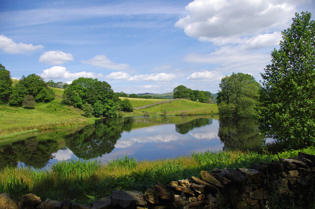
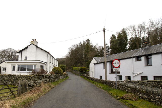
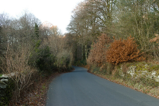
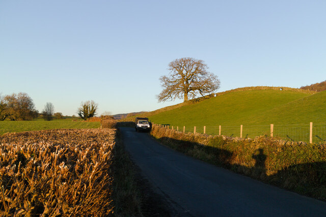
Border Moss Wood Images
Images are sourced within 2km of 54.271685/-3.0059719 or Grid Reference SD3486. Thanks to Geograph Open Source API. All images are credited.


Border Moss Wood is located at Grid Ref: SD3486 (Lat: 54.271685, Lng: -3.0059719)
Administrative County: Cumbria
District: South Lakeland
Police Authority: Cumbria
What 3 Words
///poetic.blessing.derailed. Near Ulverston, Cumbria
Nearby Locations
Related Wikis
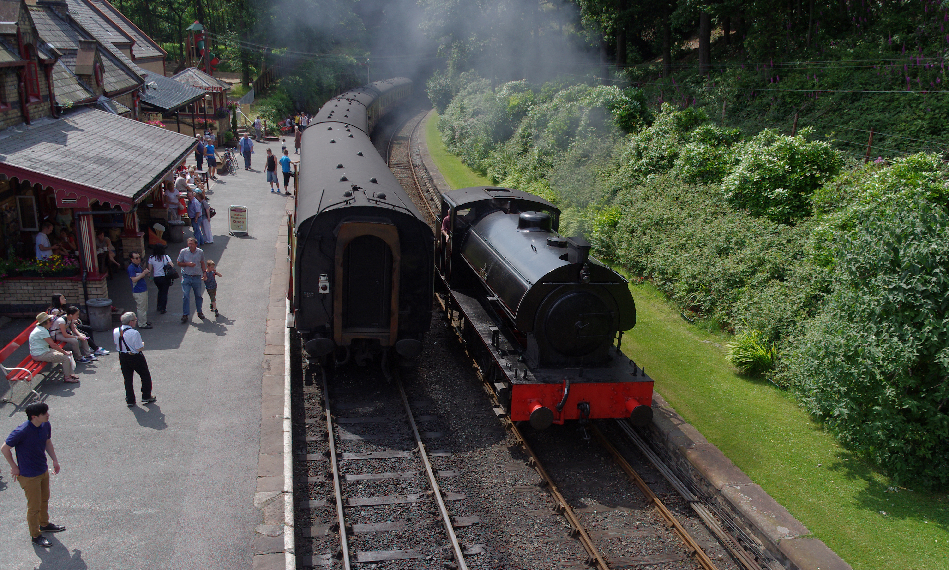
Lakeside and Haverthwaite Railway
The Lakeside and Haverthwaite Railway (L&HR) is a 3.2-mile-long (5.1 km) heritage railway in Cumbria, England. == Location == The L&HR runs from Haverthwaite...
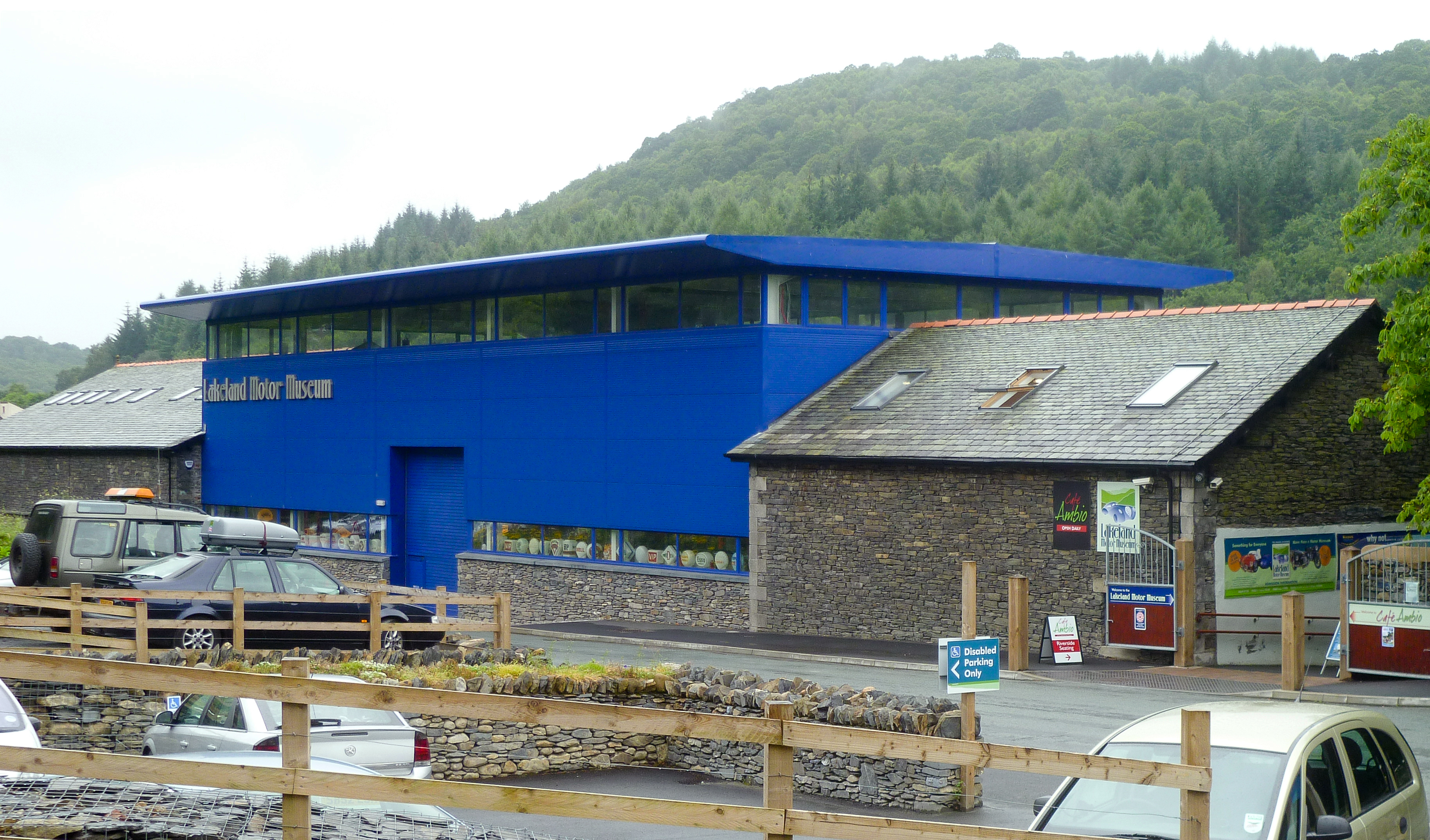
Lakeland Motor Museum
The Lakeland Motor Museum is a museum now located at Backbarrow, Cumbria, England which houses a collection of classic cars, motorcycles, bicycles, pedal...

Backbarrow
Backbarrow is a village in the Lake District National Park in England. It lies on the River Leven about 5 miles (8 km) northeast of Ulverston in Furness...
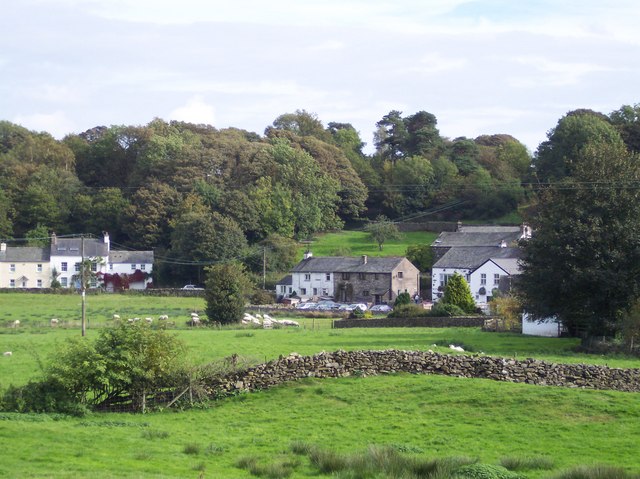
Bouth
Bouth is a village in the South Lakeland district of Cumbria, England. Historically, it was part of the county of Lancashire. It is within the Lake District...

Rusland, Cumbria
Rusland is a village in the South Lakeland district of Cumbria, England. It is located just to the southwest of Crosslands in the civil parish of Colton...

Newby Bridge Halt railway station
Newby Bridge Halt (also known, historically, as Newby Bridge Platform) is a railway station on the Lakeside and Haverthwaite heritage railway. It serves...
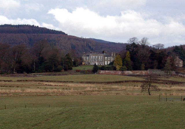
Rusland Hall
Rusland Hall is a country house in the English Lake District. The present building dates from about 1720. The Hall was owned by the Rawlinson family in...
Finsthwaite Heights
Finsthwaite Heights is an upland area in the English Lake District, above Finsthwaite, Cumbria. It is the subject of a chapter of Wainwright's book The...
Nearby Amenities
Located within 500m of 54.271685,-3.0059719Have you been to Border Moss Wood?
Leave your review of Border Moss Wood below (or comments, questions and feedback).