Blackhorse Wood

Wood, Forest in Herefordshire

England

Blackhorse Wood

Footpath west from Tremorithic Road Ash is turning colour early this year.
Footpath west from Tremorithic Road Credit: Jonathan Billinger

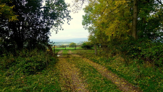
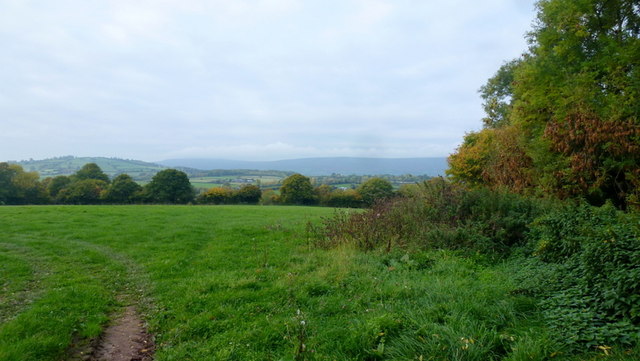
Blackhorse Wood is a stunning woodland located in the county of Herefordshire, England. Covering an expansive area of approximately 100 acres, this forest is renowned for its natural beauty and diverse ecosystem.

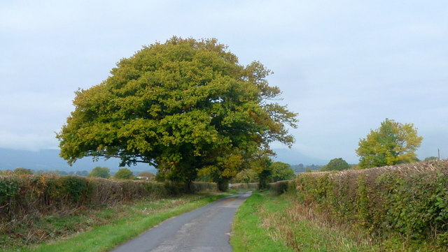
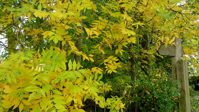
The wood is home to a variety of tree species, including oak, ash, beech, and birch, which create a dense and enchanting canopy overhead. These ancient trees provide shelter and sustenance for a wide range of wildlife, making Blackhorse Wood a haven for nature enthusiasts and birdwatchers alike. Visitors can expect to spot various bird species such as woodpeckers, owls, and warblers, as well as small mammals like foxes, badgers, and squirrels.

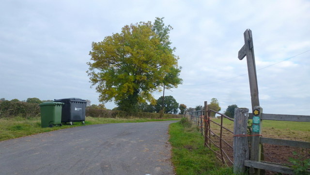
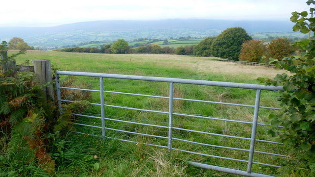
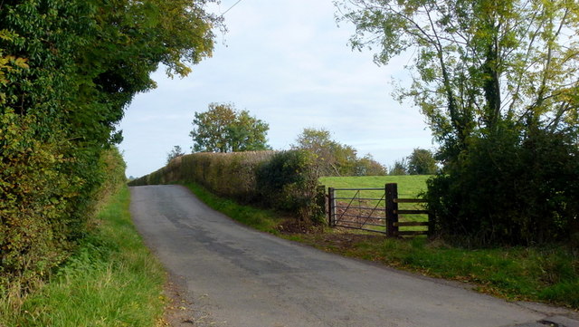
The woodland is crisscrossed with a network of well-maintained walking trails, enabling visitors to explore the area and immerse themselves in its tranquility. The paths wind their way through the wood, passing by vibrant wildflower meadows, babbling brooks, and picturesque ponds. In the spring and summer months, the wood is ablaze with color as bluebells, primroses, and foxgloves bloom, creating a breathtaking spectacle.

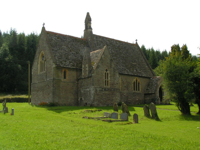
Blackhorse Wood is not only a place of natural beauty but also of historical significance. It is believed to have been part of a larger ancient forest that covered much of Herefordshire in medieval times. The wood has been carefully managed and preserved by local authorities, ensuring its longevity and continued contribution to the local ecosystem.

Overall, Blackhorse Wood is a captivating destination for those seeking solace in nature. Its diverse flora and fauna, well-maintained trails, and historical significance make it an ideal location for walks, picnics, and wildlife spotting.

If you have any feedback on the listing, please let us know in the comments section below.

Blackhorse Wood Images

Images are sourced within 2km of 51.983472/-2.9538237 or Grid Reference SO3432. Thanks to Geograph Open Source API. All images are credited.

Footpath west from Tremorithic Road Ash is turning colour early this year.
Footpath west from Tremorithic Road
Ash is turning colour early this year.
Lower Newton Road named after the farm at the end of the metalled road.
The green lane to the right appears to head directly to Lower Maes-coed.
Lower Newton
Road named after the farm at the end of the metalled road. The green lane to the right appears to head directly to Lower Maes-coed.
Oaks by Tremorithic Road Still green as at 17th October 2015.
Oaks by Tremorithic Road
Still green as at 17th October 2015.
Farm track and public footpath To Holling Grange Farm pictured from Tremorithic Road.
Farm track and public footpath
To Holling Grange Farm pictured from Tremorithic Road.
View over the Dulas Valley View from Tremorithic, with the dome of Mynydd Merddin to the left and the Hatterrall ridge in the far distance.
View over the Dulas Valley
View from Tremorithic, with the dome of Mynydd Merddin to the left and the Hatterrall ridge in the far distance.
Ash foliage by the footpath signpost This sight is destined to be a rarity as Ash dieback disease spreads across the UK.
Ash foliage by the footpath signpost
This sight is destined to be a rarity as Ash dieback disease spreads across the UK.
Spreading oak tree Set against the backdrop of Cwarelau Wood.
Spreading oak tree
Set against the backdrop of Cwarelau Wood.
Barns for conversion? Well the gate's been changed and some timber has appeared in the two years since <a href="https://www.geograph.org.uk/photo/3779788">SO3331 : Barns near the Black Mountains</a>.
Barns for conversion?
Well the gate's been changed and some timber has appeared in the two years since SO3331 : Barns near the Black Mountains.
View towards the Black Mountains Except those hills are mistified on this October morning.
An almost identical scene to the first Geograph for this square taken in 2007; <a href="https://www.geograph.org.uk/photo/451711">SO3330 : Farm Track towards Escley Brook valley</a>.
View towards the Black Mountains
Except those hills are mistified on this October morning. An almost identical scene to the first Geograph for this square taken in 2007; SO3330 : Farm Track towards Escley Brook valley.
Path from Old School Lane Looking east over the Escley Brook valley towards the Black Mountains.
Path from Old School Lane
Looking east over the Escley Brook valley towards the Black Mountains.
Far House Farm The inscription on the stone by Lower Newton Lane confirms the correct name of the farm - smaller scale OS mapping gives 'Firhouse Farm'.
Far House Farm
The inscription on the stone by Lower Newton Lane confirms the correct name of the farm - smaller scale OS mapping gives 'Firhouse Farm'.
Woodland path A detail from the same position as <a href="https://www.geograph.org.uk/photo/4703815">SO3431 : Lower Newton</a> showing an alternate leafy route to Lower Maes-coed.
Woodland path
A detail from the same position as SO3431 : Lower Newton showing an alternate leafy route to Lower Maes-coed.
Lower Newton Lane and telephone box One of a dwindling number of K6 boxes still apparently in use in a very remote West Herefordshire community.
The paintwork has degraded somewhat since <a href="https://www.geograph.org.uk/photo/1816395">SO3430 : Telephone box at Lower Maes-coed</a> but is in better condition than <a href="https://www.geograph.org.uk/photo/685432">SO3430 : Telephone Box</a>.
Lower Newton Lane and telephone box
One of a dwindling number of K6 boxes still apparently in use in a very remote West Herefordshire community. The paintwork has degraded somewhat since SO3430 : Telephone box at Lower Maes-coed but is in better condition than SO3430 : Telephone Box.
Lower Maes-coed Pig farm buildings can be glimpsed through the gap in the hedge to the right.
Lower Maes-coed
Pig farm buildings can be glimpsed through the gap in the hedge to the right.
Lane to Michaelchurch Escley North from the junction with Trewern Road.
Lane to Michaelchurch Escley
North from the junction with Trewern Road.
Land with issues There's one right in front of us here. A spring which rises by the road at Ty Caradog and flows down into the Escley Brook via a small wooded dingle.
Land with issues
There's one right in front of us here. A spring which rises by the road at Ty Caradog and flows down into the Escley Brook via a small wooded dingle.
Escley Lane by Ty Caradog Farmer plus Landrover and dog at work this Saturday morning.
Escley Lane by Ty Caradog
Farmer plus Landrover and dog at work this Saturday morning.
Ty Caradog Pines surround this West Herefordshire property.
Ty Caradog
Pines surround this West Herefordshire property.
Show me another place!

Blackhorse Wood is located at Grid Ref: SO3432 (Lat: 51.983472, Lng: -2.9538237)

Unitary Authority: County of Herefordshire

Police Authority: West Mercia

What 3 Words

///haystack.director.threaten. Near Bacton, Herefordshire

Related Wikis

Newton, Golden Valley

Newton is a village and civil parish 11 miles (18 km) south west of Hereford, in the county of Herefordshire, England. In 2011 the parish had a population...

St Margarets, Herefordshire

St Margarets is a village and civil parish 11 miles (18 km) west of Hereford, in the county of Herefordshire, England. The parish includes the hamlet of...

Bacton, Herefordshire

Bacton (Welsh: Bactwn) is a small village in a rural area of south-west Herefordshire, England, 14 miles (23 km) from Hereford. == History == One mile...

Michaelchurch Escley

Michaelchurch Escley is a village and civil parish 13 miles (21 km) west of Hereford, in the county of Herefordshire, England. In 2011 the parish had a...

Bacton railway station

Bacton railway station was a station in Bacton, Herefordshire, England. It was located on the Great Western Railway branch line linking Pontrilas and Hay...

Welsh Marches

The Welsh Marches (Welsh: Y Mers) is an imprecisely defined area along the border between England and Wales in the United Kingdom. The precise meaning...

Dulas, Herefordshire

Dulas is a civil parish in the County of Herefordshire in England, 18 km south west of Hereford. There is no village named Dulas, as the parish consists...

Longtown Castle

Longtown Castle, also termed Ewias Lacey Castle in early accounts, is a ruined Norman motte-and-bailey fortification in Longtown, Herefordshire. It was...

Have you been to Blackhorse Wood?

Leave your review of Blackhorse Wood below (or comments, questions and feedback).