Allan Ridding Wood
Wood, Forest in Lancashire South Lakeland
England
Allan Ridding Wood
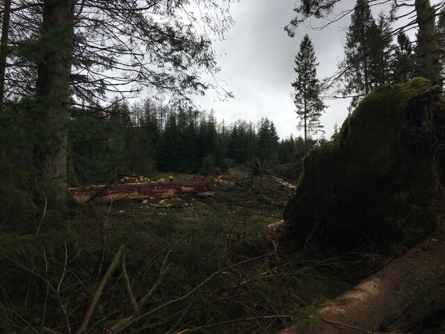
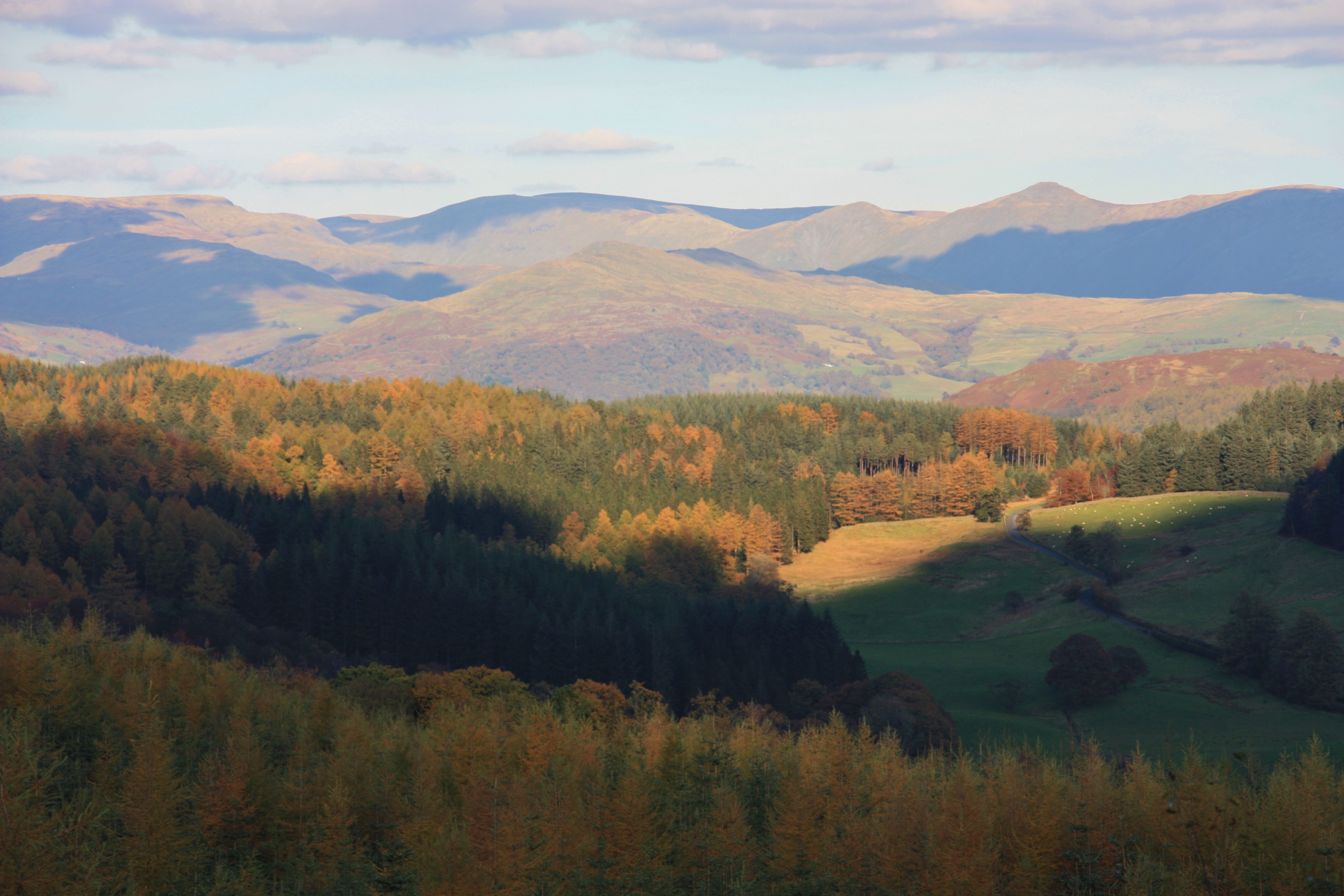
Allan Ridding Wood is a picturesque woodland located in the county of Lancashire, England. Situated near the village of Wood, it is a popular destination for nature enthusiasts and outdoor adventurers. Covering an area of approximately 100 acres, the wood is known for its diverse flora and fauna, making it a haven for wildlife.
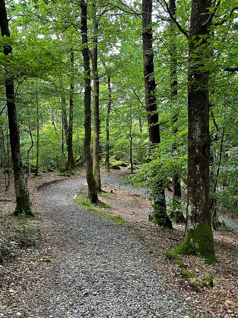
The woodland is predominantly composed of deciduous trees, including oak, beech, and birch, which create a vibrant and colorful landscape throughout the year. The forest floor is adorned with a rich carpet of wildflowers, such as bluebells and primroses, adding to the area's natural beauty.
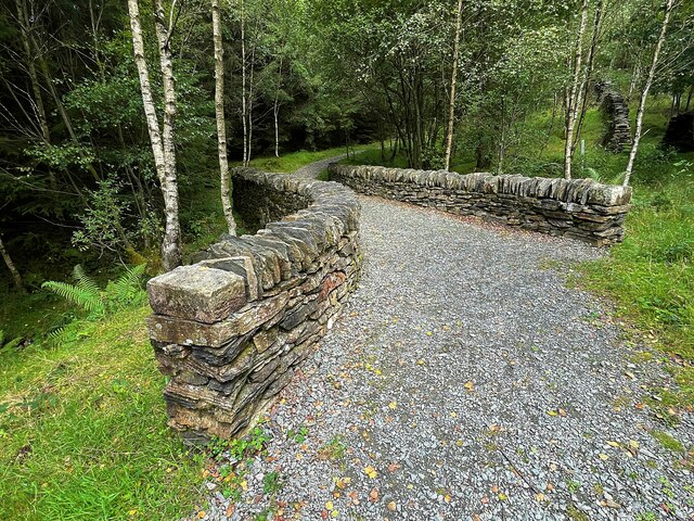
Allan Ridding Wood offers numerous walking trails and paths, providing visitors with an opportunity to explore the area at their own pace. These trails are well-maintained and suitable for all ages and fitness levels, making it an ideal destination for families and nature lovers alike.
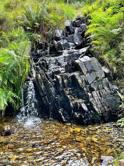
The wood is also home to a variety of wildlife, including deer, foxes, and a wide range of bird species. Birdwatchers can spot woodpeckers, owls, and various songbirds throughout the year. The tranquil atmosphere of Allan Ridding Wood provides a perfect setting for birdwatching and photography enthusiasts.
The wood is managed by the local authorities, ensuring the preservation of its natural beauty and wildlife. It is open to the public year-round, free of charge, and offers ample parking facilities. Allan Ridding Wood is a true gem in the heart of Lancashire, offering a peaceful retreat for those seeking solace in nature.
If you have any feedback on the listing, please let us know in the comments section below.
Allan Ridding Wood Images
Images are sourced within 2km of 54.323427/-3.0294057 or Grid Reference SD3392. Thanks to Geograph Open Source API. All images are credited.


Allan Ridding Wood is located at Grid Ref: SD3392 (Lat: 54.323427, Lng: -3.0294057)
Administrative County: Cumbria
District: South Lakeland
Police Authority: Cumbria
What 3 Words
///huddled.giants.inferior. Near Windermere, Cumbria
Nearby Locations
Related Wikis

Satterthwaite
Satterthwaite is a small village (and civil parish) with around 50 dwellings situated in Grizedale, a valley in the Lake District, England, about four...

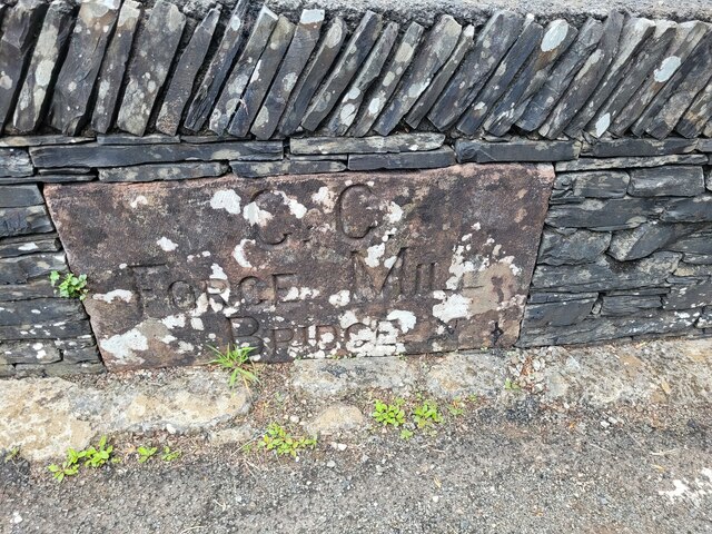
Satterthwaite & Rusland School
Satterthwaite & Rusland School was a Church of England Primary school near Force Forge in the Rusland Valley. The school was established in 1840 for children...

Grizedale Hall
Grizedale Hall was a large country house at Grizedale, Hawkshead, in the Lake District in Cumbria, England. After two earlier Grizedale Halls had preceded...
Grizedale Forest
Grizedale Forest is a 24.47 km2 area of woodland in the Lake District of North West England, located to the east of Coniston Water and to the south of...
Nearby Amenities
Located within 500m of 54.323427,-3.0294057Have you been to Allan Ridding Wood?
Leave your review of Allan Ridding Wood below (or comments, questions and feedback).