Thorn's Copse
Wood, Forest in Somerset South Somerset
England
Thorn's Copse
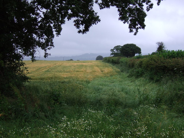
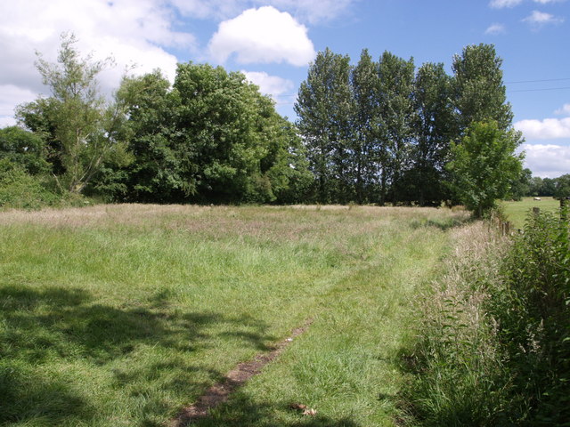
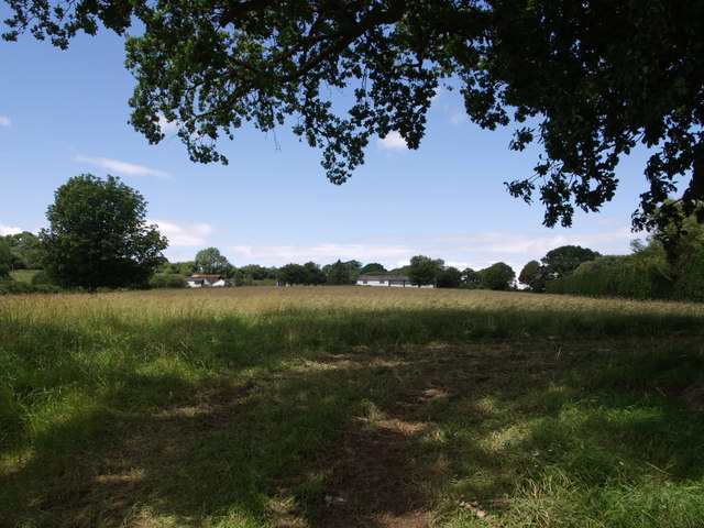
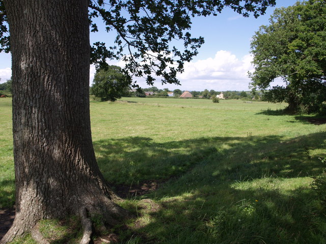
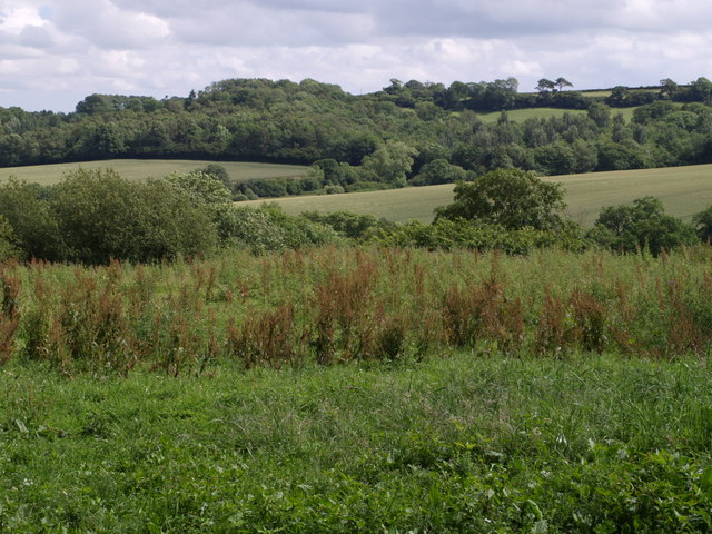
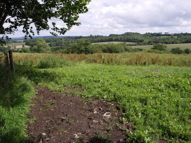
Located in Somerset, Thorn's Copse is a charming woodland area that encompasses approximately 20 acres of land. This ancient woodland is nestled within the picturesque countryside, offering a serene and tranquil escape for nature enthusiasts and walkers alike.
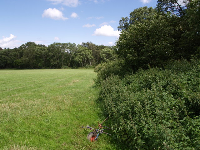
Thorn's Copse is home to a diverse range of tree species, including oak, beech, and ash, which tower majestically overhead, forming a dense canopy that provides shade during the warmer months. The forest floor is adorned with a carpet of bluebells in the spring, creating a stunning display of vibrant colors.
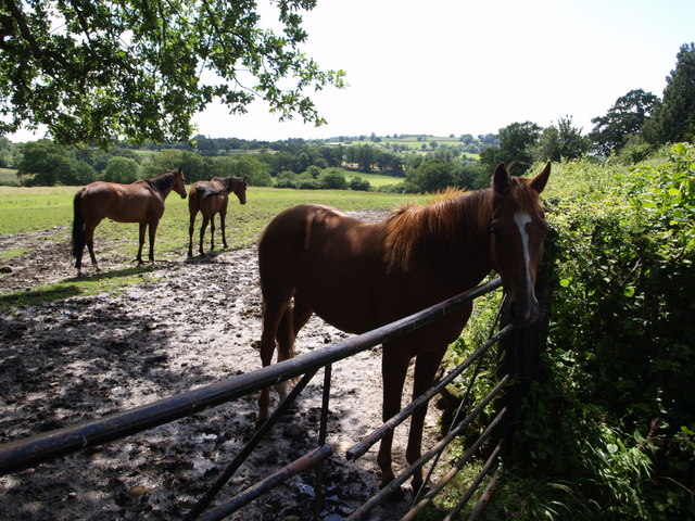
The copse features well-maintained footpaths that wind their way through the woods, inviting visitors to explore its natural beauty. These paths offer an opportunity to observe the local wildlife, such as birds, squirrels, and deer, which can often be spotted among the trees and undergrowth.
The woodland is also known for its historical significance, with evidence of human activity dating back centuries. Archaeological finds, including ancient pottery fragments, have been discovered in the area, indicating that Thorn's Copse has been used and appreciated by humans for generations.
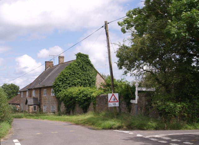
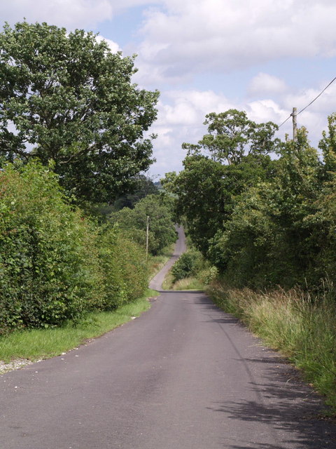
Thorn's Copse is a popular destination for outdoor enthusiasts, providing a peaceful retreat from the hustle and bustle of everyday life. Whether it's a leisurely stroll, birdwatching, or simply enjoying the beauty of nature, this woodland oasis offers a rejuvenating experience for all who venture within its boundaries.
If you have any feedback on the listing, please let us know in the comments section below.
Thorn's Copse Images
Images are sourced within 2km of 50.902471/-2.9521088 or Grid Reference ST3311. Thanks to Geograph Open Source API. All images are credited.


Thorn's Copse is located at Grid Ref: ST3311 (Lat: 50.902471, Lng: -2.9521088)
Administrative County: Somerset
District: South Somerset
Police Authority: Avon and Somerset
What 3 Words
///flocking.complains.breezes. Near Chard, Somerset
Nearby Locations
Related Wikis

Knowle St Giles
Knowle St Giles is a village and civil parish in the South Somerset district of Somerset, England, situated on the River Isle 2 miles (3 km) south of Ilminster...

Woolhayes Farm
Woolhayes Farm (grid reference ST315109) is a 13.2 hectare (32.5 acre) biological Site of Special Scientific Interest east of Combe St Nicholas in Somerset...
Chard Reservoir
Chard Reservoir is a 36.97-hectare (91.4-acre) reservoir north east of Chard Somerset, England. It is owned and managed by South Somerset District Council...

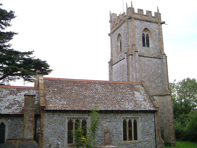
Church of St Mary, Donyatt
The Anglican Church of st Mary in Donyatt, Somerset, England was built in the 15th century. It is a Grade II* listed building. == History == The church...

Donyatt
Donyatt is a village and civil parish in Somerset, England, situated at the source of the River Isle 5 miles (8.0 km) north of Chard in the South Somerset...
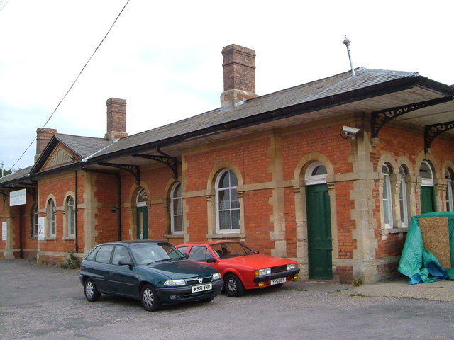
Chard Central railway station
Chard Central railway station was the principal railway station in Chard, Somerset, England. It was opened in 1866 and closed in 1962, during which time...
Chaffcombe
Chaffcombe is a village and civil parish in Somerset, England, situated 2 miles (3.2 km) north east of Chard in the South Somerset district. The village...
Church of St Michael and All Angels, Chaffcombe
The Anglican Church of St Michael and All Angels in Chaffcombe, Somerset, England was built in the 15th century. It is a Grade II* listed building. �...
Nearby Amenities
Located within 500m of 50.902471,-2.9521088Have you been to Thorn's Copse?
Leave your review of Thorn's Copse below (or comments, questions and feedback).