Satterthwaite
Settlement in Lancashire South Lakeland
England
Satterthwaite
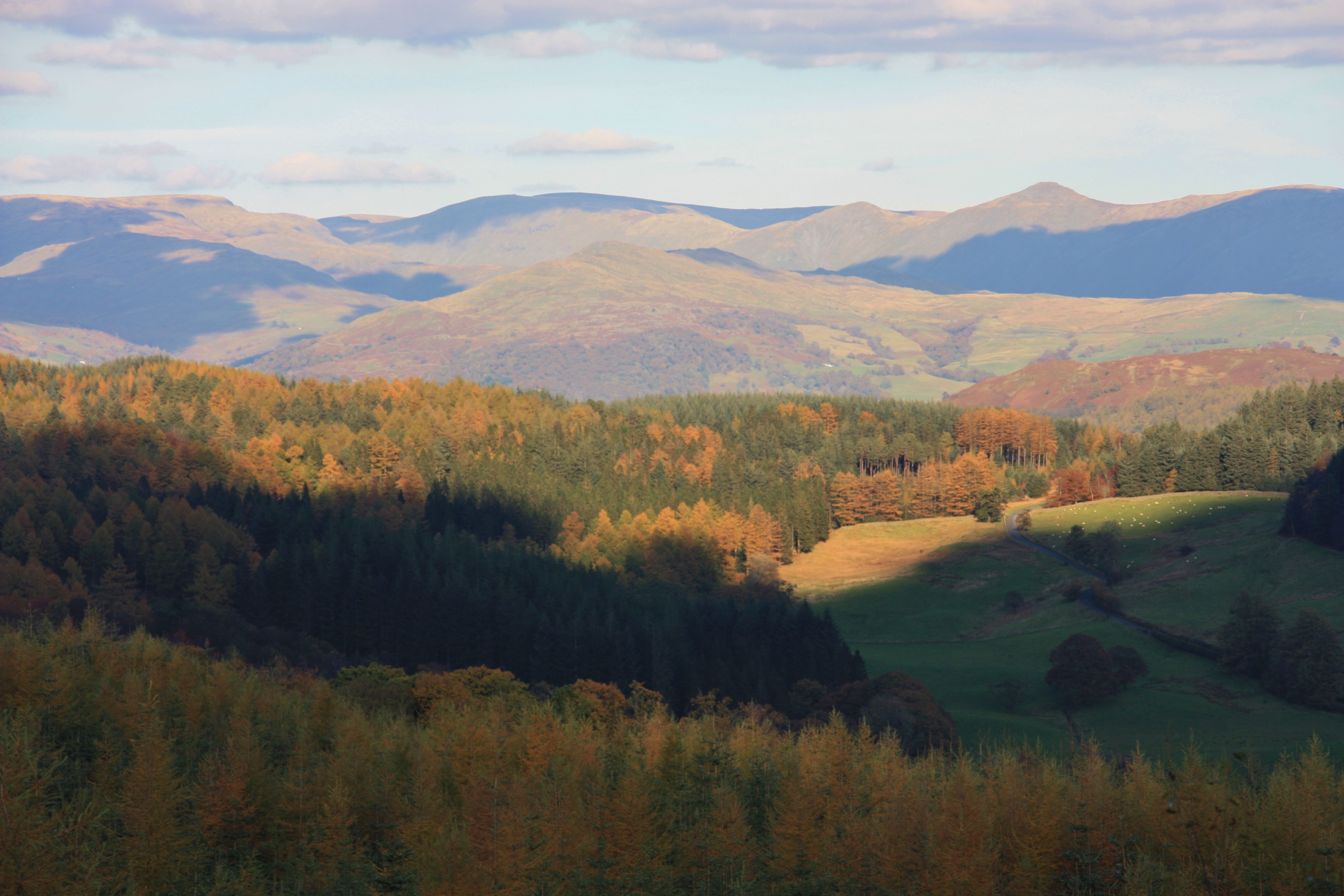
Satterthwaite is a small village located in the southern part of the Lake District National Park, in the county of Lancashire, England. Nestled amidst picturesque landscapes, it is surrounded by rolling hills, lush green meadows, and dense forests, making it an ideal destination for nature lovers and outdoor enthusiasts.
The village itself is quaint and charming, with a population of around 150 residents. Its history can be traced back to medieval times, and evidence of this can still be seen in the well-preserved stone buildings and traditional architecture that line its streets.
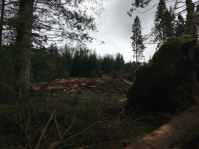
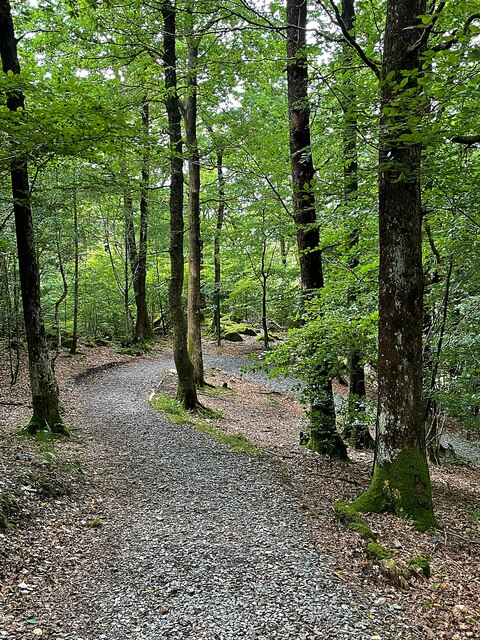
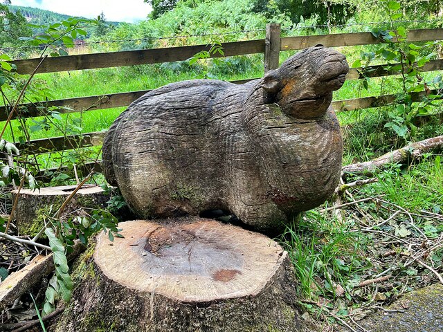
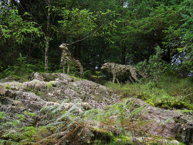
One of the village's main attractions is its close proximity to Lake Windermere, the largest lake in England. This provides visitors with opportunities for boating, fishing, and enjoying scenic walks along the lakeshore. Additionally, nearby Grizedale Forest offers a range of recreational activities such as cycling, hiking, and wildlife spotting.
Despite its small size, Satterthwaite boasts a strong community spirit, with a village hall hosting various events and gatherings throughout the year. The village is also home to a local pub, providing a friendly meeting place for both residents and visitors.
For those seeking a tranquil retreat away from the hustle and bustle of city life, Satterthwaite offers a peaceful and idyllic setting. Its natural beauty, combined with its rich history and community spirit, make it a hidden gem within the stunning landscapes of the Lake District.
If you have any feedback on the listing, please let us know in the comments section below.
Satterthwaite Images
Images are sourced within 2km of 54.322508/-3.018303 or Grid Reference SD3392. Thanks to Geograph Open Source API. All images are credited.


Satterthwaite is located at Grid Ref: SD3392 (Lat: 54.322508, Lng: -3.018303)
Administrative County: Cumbria
District: South Lakeland
Police Authority: Cumbria
What 3 Words
///infants.return.sway. Near Windermere, Cumbria
Nearby Locations
Related Wikis

Satterthwaite
Satterthwaite is a small village (and civil parish) with around 50 dwellings situated in Grizedale, a valley in the Lake District, England, about four...

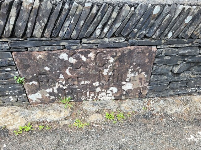
Satterthwaite & Rusland School
Satterthwaite & Rusland School was a Church of England Primary school near Force Forge in the Rusland Valley. The school was established in 1840 for children...

Grizedale Hall
Grizedale Hall was a large country house at Grizedale, Hawkshead, in the Lake District in Cumbria, England. After two earlier Grizedale Halls had preceded...
Grizedale Forest
Grizedale Forest is a 24.47 km2 area of woodland in the Lake District of North West England, located to the east of Coniston Water and to the south of...
Nearby Amenities
Located within 500m of 54.322508,-3.018303Have you been to Satterthwaite?
Leave your review of Satterthwaite below (or comments, questions and feedback).