Horse Wood

Wood, Forest in Lancashire South Lakeland

England

Horse Wood

Felled trees in Grizedale forest
Felled trees in Grizedale forest Credit: Steven Brown

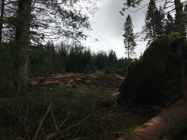
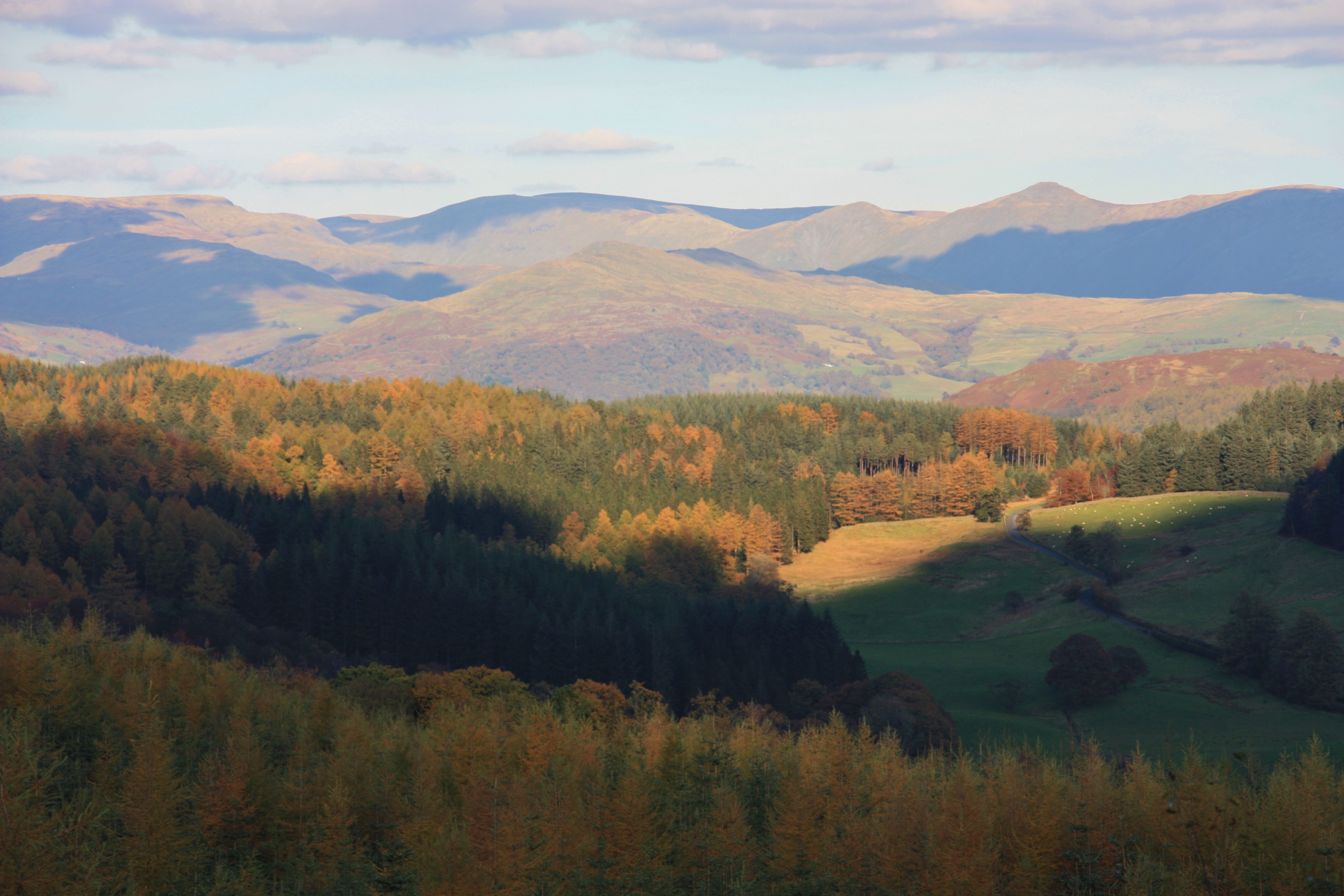
Horse Wood is a picturesque forest located in Lancashire, England. Covering an area of approximately 100 acres, it is a haven for nature enthusiasts and a popular destination for outdoor activities. The wood is situated near the village of Wood, hence its name, and is characterized by its dense vegetation, towering trees, and diverse wildlife.

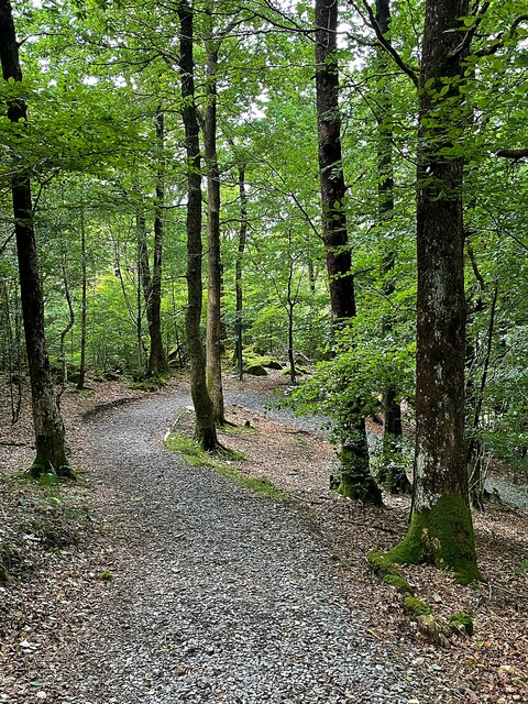
The wood features a variety of tree species, including oak, birch, and ash, which create a lush canopy that provides shade and a sense of tranquility. Visitors can explore the wood along well-maintained trails that meander through the forest, allowing for pleasant walks and opportunities to observe the local flora and fauna.

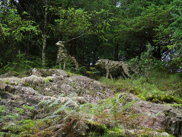
Wildlife is abundant in Horse Wood, with sightings of deer, foxes, and various bird species being common. The forest provides a natural habitat for these creatures, ensuring their well-being and contributing to the overall ecological balance of the area.

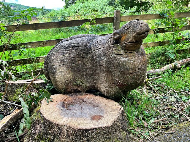
In addition to its natural beauty, Horse Wood offers recreational facilities for visitors. There are designated picnic areas and benches throughout the wood, providing a perfect setting for a relaxed lunch or a family gathering. The forest also includes a small play area for children, enhancing its appeal as a family-friendly destination.

Horse Wood is easily accessible, with ample parking available nearby. Its serene atmosphere and stunning scenery make it an ideal location for nature lovers, hikers, and those seeking a peaceful retreat in the heart of Lancashire.

If you have any feedback on the listing, please let us know in the comments section below.

Horse Wood Images

Images are sourced within 2km of 54.325491/-3.0276582 or Grid Reference SD3392. Thanks to Geograph Open Source API. All images are credited.

Felled trees in Grizedale forest
Triangulation Pillar - Carron Crag - Grizedale Forest
Junction in Grizedale Forest
Track up Mustard Hill - Grizedale Forest
Forestry road, Grizedale Forest
Old Boundary Marker on Force Mill Bridge, Satterthwaite Bridge Marker inscribed on a stone block set in the parapet of Force Mill Bridge, Force Beck, on the north side of the road between Force Mills and Force Forge. Satterthwaite parish. 

Milestone Society National ID: LA_SATT02br
Old Boundary Marker on Force Mill Bridge, Satterthwaite
Bridge Marker inscribed on a stone block set in the parapet of Force Mill Bridge, Force Beck, on the north side of the road between Force Mills and Force Forge. Satterthwaite parish. Milestone Society National ID: LA_SATT02br
Old Bridge Marker on Satterthwaite Bridge Bridge Marker inscribed in a stone block set in the parapet of Satterthwaite Bridge, Force Beck, on the northwest side of the road between Force Mills and Satterthwaite. Satterthwaite parish. 

Milestone Society National ID: LA_SATT03br
Old Bridge Marker on Satterthwaite Bridge
Bridge Marker inscribed in a stone block set in the parapet of Satterthwaite Bridge, Force Beck, on the northwest side of the road between Force Mills and Satterthwaite. Satterthwaite parish. Milestone Society National ID: LA_SATT03br
Grizedale Meadowland in the valley
Grizedale
Meadowland in the valley
'Sheltered Seat' A sculpture by Jim Partridge & Liz Walmsley, one of the 54 sculptures in Grizedale Forest
'Sheltered Seat'
A sculpture by Jim Partridge & Liz Walmsley, one of the 54 sculptures in Grizedale Forest
Path in Grizedale Forest
The Yan and the remaining garden terrace of Grizedale Hall Grizedale Hall was demolished in 1957. The Yan (Cumbrian for 'One') was built in 2008 for the Forestyry Commission visitor centre. It was empty and seemingly unused on this visit.
The Yan and the remaining garden terrace of Grizedale Hall
Grizedale Hall was demolished in 1957. The Yan (Cumbrian for 'One') was built in 2008 for the Forestyry Commission visitor centre. It was empty and seemingly unused on this visit.
Path in Grizedale Forest
Small waterfall in Grizedale Forest
Mark's Bridge A bridge over a small stream built by volunteers in honour of a recreation ranger.
Mark's Bridge
A bridge over a small stream built by volunteers in honour of a recreation ranger.
Path in Grizedale Forest
'Sethera' A sculpture by Reece Ingram, one of 54 sculptures in Grizedale Forest
'Sethera'
A sculpture by Reece Ingram, one of 54 sculptures in Grizedale Forest
'Wolves - This is not just our Land - This is their Land' A sculpture by Sally Matthews, one of 54 sculptures in Grizedale Forest
'Wolves - This is not just our Land - This is their Land'
A sculpture by Sally Matthews, one of 54 sculptures in Grizedale Forest
High Bowkerstead Camp site at High Bowkerstead.
High Bowkerstead
Camp site at High Bowkerstead.
Show me another place!

Horse Wood is located at Grid Ref: SD3392 (Lat: 54.325491, Lng: -3.0276582)

Administrative County: Cumbria

District: South Lakeland

Police Authority: Cumbria

What 3 Words

///teardrop.licks.kebabs. Near Windermere, Cumbria

Related Wikis

Satterthwaite

Satterthwaite is a small village (and civil parish) with around 50 dwellings situated in Grizedale, a valley in the Lake District, England, about four...

Satterthwaite & Rusland School

Satterthwaite & Rusland School was a Church of England Primary school near Force Forge in the Rusland Valley. The school was established in 1840 for children...

Grizedale Hall

Grizedale Hall was a large country house at Grizedale, Hawkshead, in the Lake District in Cumbria, England. After two earlier Grizedale Halls had preceded...

Grizedale Forest

Grizedale Forest is a 24.47 km2 area of woodland in the Lake District of North West England, located to the east of Coniston Water and to the south of...

Nearby Amenities

Located within 500m of 54.325491,-3.0276582
Bench
Lat/Long: 54.3223502/-3.0302766
Power: pole
Lat/Long: 54.323332/-3.0214486
Power: pole
Lat/Long: 54.3244278/-3.0217748
Power: pole
Lat/Long: 54.3252314/-3.0220297
Power: pole
Lat/Long: 54.3263157/-3.022347
Power: pole
Lat/Long: 54.3273906/-3.0227142
Power: pole
Lat/Long: 54.3281318/-3.0229584
The data included in this document is from www.openstreetmap.org. The data is made available under ODbL.

Have you been to Horse Wood?

Leave your review of Horse Wood below (or comments, questions and feedback).