Anthorn
Settlement in Cumberland Allerdale
England
Anthorn

Anthorn is a small village located in the county of Cumberland, in the northwest of England. Situated near the Solway Firth, it lies approximately 4 miles southwest of Bowness-on-Solway and around 20 miles west of the city of Carlisle.
The village is known for its historical significance as it was once home to Anthorn Radio Station, which played a crucial role in naval communications during World War I and II. The radio station was responsible for transmitting time signals to synchronize clocks and navigation instruments on ships and submarines. Today, the radio station is still operational but mainly serves as a backup for the National Physical Laboratory's time and frequency broadcast.
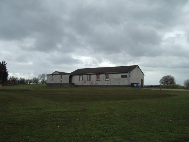
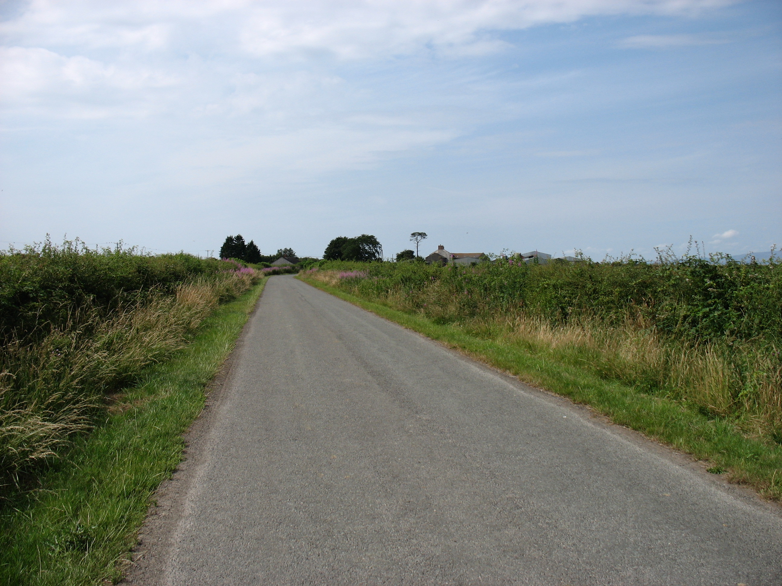
Anthorn is surrounded by picturesque countryside, making it an attractive destination for nature enthusiasts and hikers. The nearby Solway Coast Area of Outstanding Natural Beauty offers stunning landscapes, sand dunes, and diverse wildlife, including migratory birds. The village itself has limited amenities, including a small primary school, a post office, and a local pub.
Transportation in Anthorn is primarily reliant on private vehicles, as there is no direct access to major public transport routes. However, the village is easily accessible by road, with the A596 passing nearby, connecting it to neighboring towns and cities. The closest railway station is in Carlisle, providing connections to other parts of the country.
Overall, Anthorn is a quiet village with a rich history and natural beauty, attracting visitors seeking tranquility and exploration of the surrounding countryside.
If you have any feedback on the listing, please let us know in the comments section below.
Anthorn Images
Images are sourced within 2km of 54.914328/-3.251065 or Grid Reference NY1958. Thanks to Geograph Open Source API. All images are credited.


Anthorn is located at Grid Ref: NY1958 (Lat: 54.914328, Lng: -3.251065)
Administrative County: Cumbria
District: Allerdale
Police Authority: Cumbria
What 3 Words
///blogs.hamsters.rocks. Near Annan, Dumfries & Galloway
Nearby Locations
Related Wikis

Anthorn
Anthorn (pronounced AN-thorn) is a village in Cumbria, England. Historically in Cumberland, it is situated on the south side of the Solway Firth, on the...

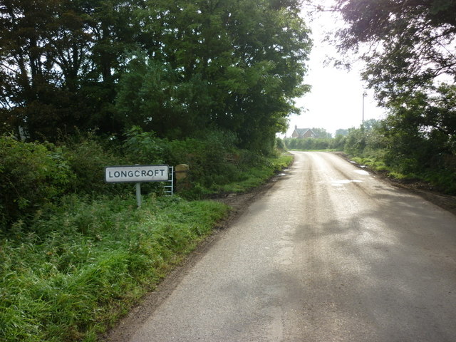
Longcroft, Cumbria
Longcroft is a small community in Cumbria, England, nestled in between Kirkbride and Anthorn. The village contains only five houses, one of which is Longcroft...
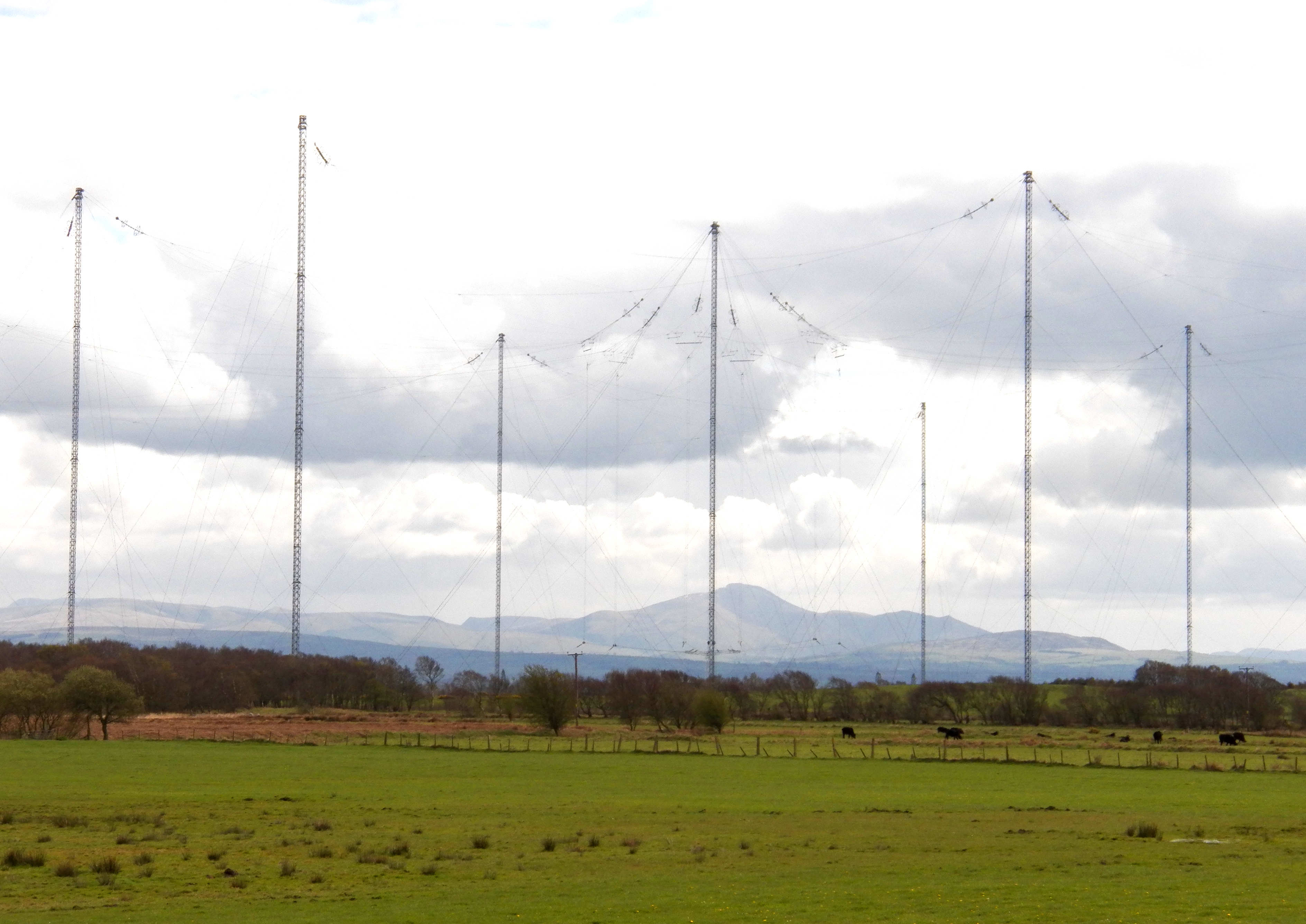
Anthorn Radio Station
Anthorn Radio Station is a naval and government radio transmitting station located near Anthorn, Cumbria, England, overlooking the Solway Firth, and is...

Time from NPL (MSF)
The Time from NPL is a radio signal broadcast from the Anthorn Radio Station near Anthorn, Cumbria, which serves as the United Kingdom's national time...
Milefortlet 3
Milefortlet 3 (Pasture House) was a Milefortlet of the Roman Cumbrian Coast defences. These milefortlets and intervening stone watchtowers extended from...

Cardurnock
Cardurnock is a small settlement in Cumbria, England. It is by the coast, 20 kilometres (12 mi) west of Carlisle. The western extension of the Hadrian...
Whitrigg railway station
Whitrigg was a railway station on the Bowness Moss which served Whitrigg, a hamlet in Cumbria on the English side of the Solway Firth. The station opened...

Milefortlet 4
Milefortlet 4 (Herd Hill) was a Milefortlet of the Roman Cumbrian Coast defences. These milefortlets and intervening stone watchtowers extended from the...
Nearby Amenities
Located within 500m of 54.914328,-3.251065Have you been to Anthorn?
Leave your review of Anthorn below (or comments, questions and feedback).