Anthony's Cross

Settlement in Gloucestershire Forest of Dean

England

Anthony's Cross

Crossed lines Cultivation drilling straight into the stubble of the previous maize crop.
Crossed lines Credit: Jonathan Billinger

Anthony's Cross is a small village located in the county of Gloucestershire, England. Situated approximately four miles northwest of the town of Cirencester, it is nestled in the picturesque countryside of the Cotswolds, an area renowned for its natural beauty and charming rural villages.

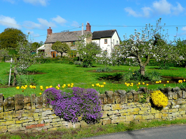
The village of Anthony's Cross is characterized by its peaceful and idyllic setting, surrounded by rolling hills and verdant farmland. It is a close-knit community, with a population of approximately 200 residents. The village is primarily residential, with a mix of traditional Cotswold stone cottages and more modern houses.

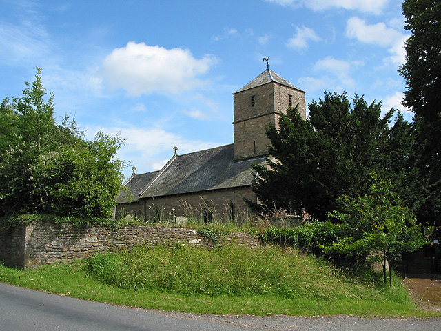
One of the notable features of Anthony's Cross is the village church, St. Anthony's Church, which dates back to the 12th century. The church is a beautiful example of medieval architecture, with its Norman tower and stunning stained glass windows. It serves as a focal point for the community, hosting regular services and events throughout the year.

In terms of amenities, Anthony's Cross has limited facilities. However, the neighboring town of Cirencester provides a range of amenities including shops, schools, and healthcare services. The village is also well-connected by road, with easy access to the A429 and A419, making it convenient for commuting to nearby towns and cities.

Overall, Anthony's Cross offers a tranquil and picturesque setting for those seeking a peaceful village lifestyle within the stunning Cotswolds countryside.

If you have any feedback on the listing, please let us know in the comments section below.

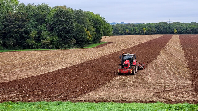
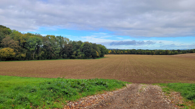
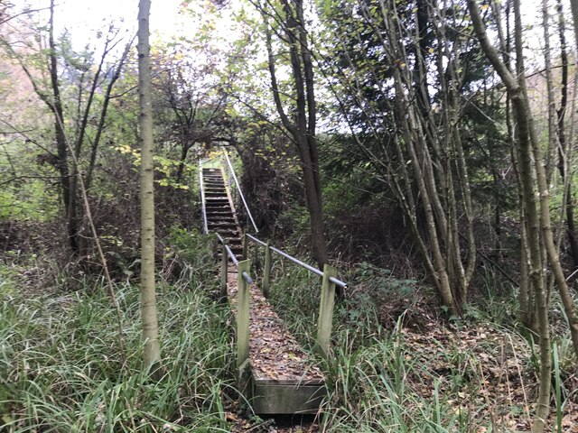
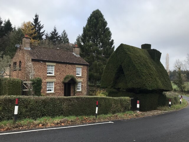
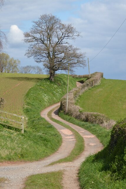
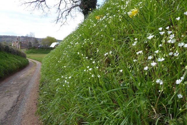
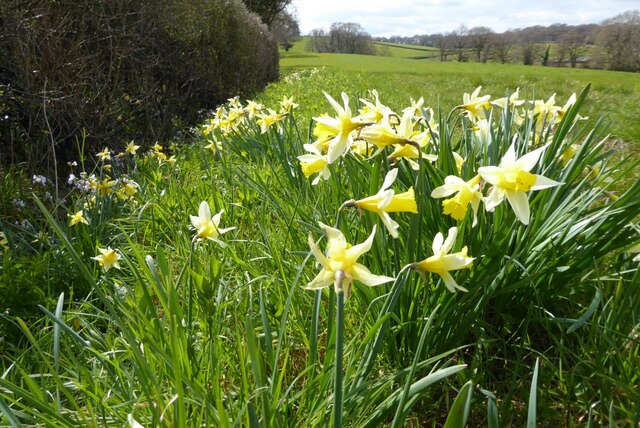
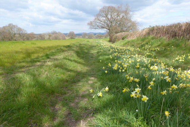
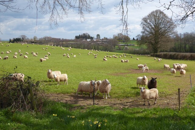
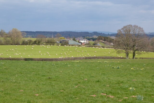
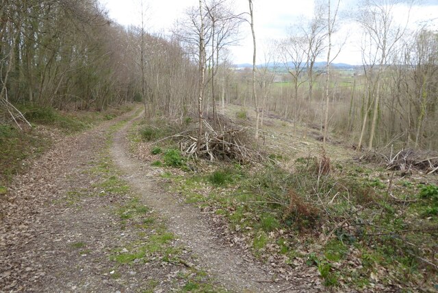
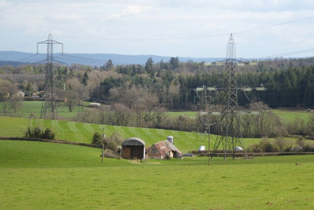
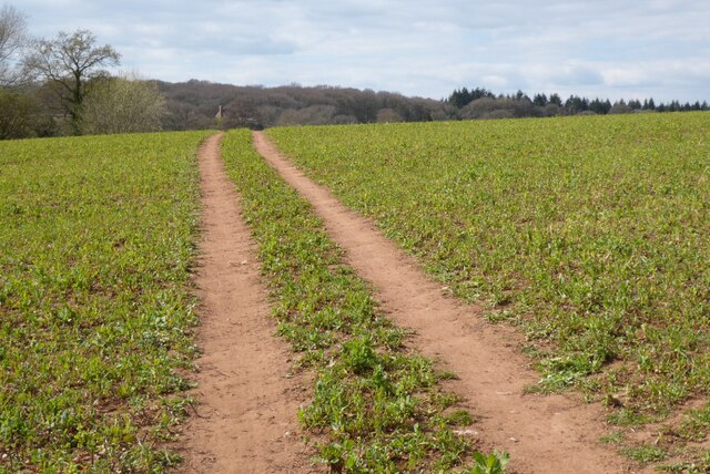
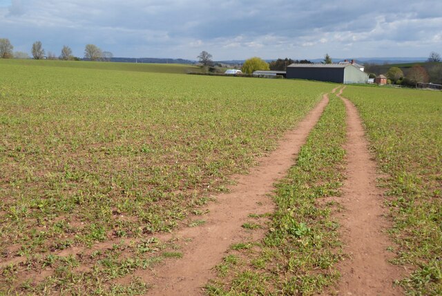
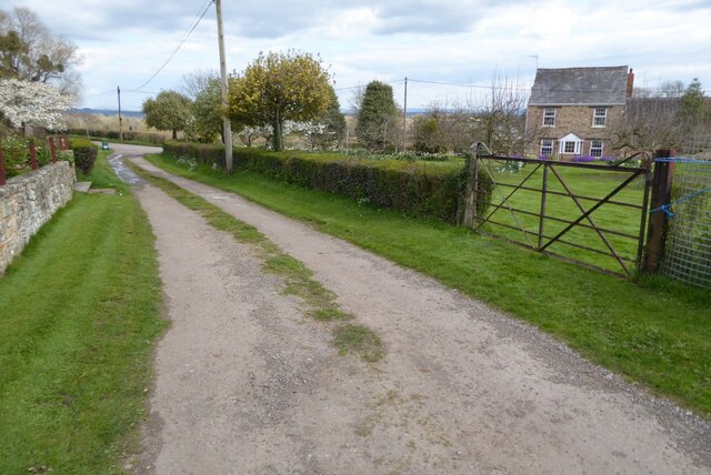
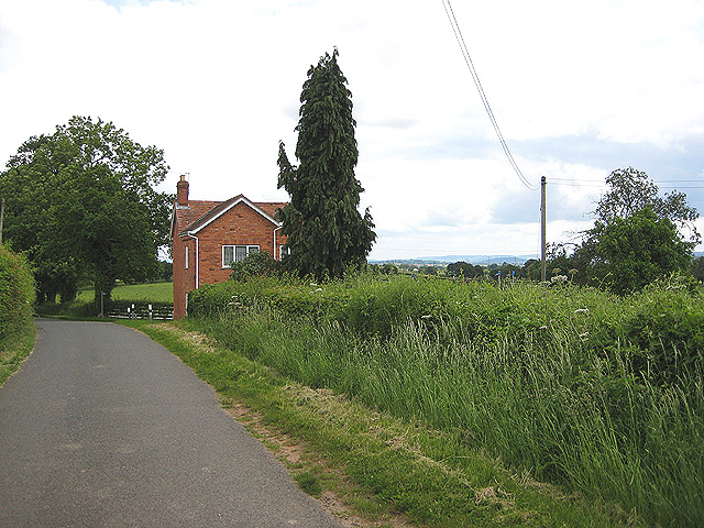
Anthony's Cross Images

Images are sourced within 2km of 51.904778/-2.4229309 or Grid Reference SO7123. Thanks to Geograph Open Source API. All images are credited.

Crossed lines Cultivation drilling straight into the stubble of the previous maize crop.
Crossed lines
Cultivation drilling straight into the stubble of the previous maize crop.
Emerging arable crop We saw the sowing/cultivation process take place two weeks earlier, see <a href="https://www.geograph.org.uk/photo/6985698">SO7222 : Crossed lines</a>.
Emerging arable crop
We saw the sowing/cultivation process take place two weeks earlier, see SO7222 : Crossed lines.
Unexpected steps
Unexpected steps
Tree house
Tree house
The start of the 2022 Snowdrops Galanthus nivalis emerging in late January.
The start of the 2022 Snowdrops
Galanthus nivalis emerging in late January.
A fine display of Snowdrops This spot always has a great show of Galanthus nivalis, see <a href="https://www.geograph.org.uk/photo/6758671">SO7222 : Snowdrops by Cugley Cottage, 2</a> from 2021.
A fine display of Snowdrops
This spot always has a great show of Galanthus nivalis, see SO7222 : Snowdrops by Cugley Cottage, 2 from 2021.
A fine display of wild daffodils This spot near Ploddy House was the scene of an equally fine carpet of snowdrops six weeks earlier. See <a href="https://www.geograph.org.uk/photo/7097861">SO7222 : A fine display of Snowdrops</a>.
A fine display of wild daffodils
This spot near Ploddy House was the scene of an equally fine carpet of snowdrops six weeks earlier. See SO7222 : A fine display of Snowdrops.
Farm drive to Knappers Farm The winding farm drive leading to Knappers Farm near Newent.  A public footpath follows this drive.
Farm drive to Knappers Farm
The winding farm drive leading to Knappers Farm near Newent. A public footpath follows this drive.
Spring blooms on the roadside The farm drive to Knappers Farm has become sunken, no doubt from centuries of use.  Spring bloom as colour to the grass bank.  The farmhouse can be seen in the background.
Spring blooms on the roadside
The farm drive to Knappers Farm has become sunken, no doubt from centuries of use. Spring bloom as colour to the grass bank. The farmhouse can be seen in the background.
Wild daffodils Wild daffodils beside a field hedgerow near Knappers Farm.
Wild daffodils
Wild daffodils beside a field hedgerow near Knappers Farm.
Daffodils and a footpath This footpath near Knappers Farm is the route of the Geopark Way.  Wild daffodils are a feature of this corner of Gloucestershire.
Daffodils and a footpath
This footpath near Knappers Farm is the route of the Geopark Way. Wild daffodils are a feature of this corner of Gloucestershire.
Sheep near Knappers Farm Sheep in a field beside the Geopark Way to the south-west of Knappers Farm.
Sheep near Knappers Farm
Sheep in a field beside the Geopark Way to the south-west of Knappers Farm.
Farmland around Knappers Farm View to the north-east from the Geopark Way where it enters Acorn Wood.  Sheep graze a field in the middle distance with Knappers Farm beyond.  The spire of Newent Church can be seen to the left of centre.
Farmland around Knappers Farm
View to the north-east from the Geopark Way where it enters Acorn Wood. Sheep graze a field in the middle distance with Knappers Farm beyond. The spire of Newent Church can be seen to the left of centre.
Footpath through Acorn Word The Geopark Way follows this footpath through Acorn Wood to the south of Newent.  Here the wood is partially felled.
Footpath through Acorn Word
The Geopark Way follows this footpath through Acorn Wood to the south of Newent. Here the wood is partially felled.
Farm buildings Farm buildings and electricity pylons near Clifford Mesne.
Farm buildings
Farm buildings and electricity pylons near Clifford Mesne.
Footpath crossing an arable field The Geopark Way follows this footpath across this field near Knappers Farm.
Footpath crossing an arable field
The Geopark Way follows this footpath across this field near Knappers Farm.
Footpath approaching Knappers Farm The Geopark Way follows this footpath approaching Knappers Farm.
Footpath approaching Knappers Farm
The Geopark Way follows this footpath approaching Knappers Farm.
Footpath and track Footpath and track near Clifford's Mesne.
Footpath and track
Footpath and track near Clifford's Mesne.
Show me another place!

Anthony's Cross is located at Grid Ref: SO7123 (Lat: 51.904778, Lng: -2.4229309)

Administrative County: Gloucestershire

District: Forest of Dean

Police Authority: Gloucestershire

What 3 Words

///series.goggles.cascade. Near Newent, Gloucestershire

Related Wikis

Anthony's Cross

Anthony's Cross is a hamlet in Gloucestershire, England. == External links == Media related to Anthony's Cross at Wikimedia Commons

Boulsdon

Boulsdon is a village in Gloucestershire, England. It is the location of the International Centre for Birds of Prey.A low mound in the village may have...

Cliffords Mesne

Cliffords Mesne is an English village in Gloucestershire, two miles (3.2 km) south-west of the town of Newent. It became the home of the autobiographical...

Taynton, Gloucestershire

Taynton is a village and civil parish in the Forest of Dean district of Gloucestershire, England. It lies about 2.5 miles (4.0 km) south-east of Newent...

May Hill

May Hill is a prominent English hill between Gloucester and Ross-on-Wye. Its summit, on the western edge of Gloucestershire and its northern slopes in...

Aston Ingham

Aston Ingham is a village in south-eastern Herefordshire, England, near Newent and about 7 miles (11 km) east of Ross-on-Wye. The population of the village...

Newent Community School

Newent Community School is a secondary school in Newent, Gloucestershire, England. It is an Academy of 1,340 students, serving the town and the rural...

Luxley

Luxley is a village in the southwest Midlands of England, on the border between Gloucestershire and Herefordshire near May Hill. Luxley is 12 km (7.5 mi...

Nearby Amenities

Located within 500m of 51.904778,-2.4229309
Barrier: kissing_gate
Lat/Long: 51.9066107/-2.4221022
Power: tower
Source: Bing
Lat/Long: 51.9082419/-2.4249858
Power: tower
Source: Bing
Lat/Long: 51.9082171/-2.4198296
Power: tower
Source: Bing
Lat/Long: 51.9077827/-2.4210964
Power: tower
Source: Bing
Lat/Long: 51.9087086/-2.4246963
Power: tower
Source: Bing
Lat/Long: 51.90737/-2.4173042
Barrier: stile
Lat/Long: 51.9069749/-2.4275501
Barrier: kissing_gate
Lat/Long: 51.9071917/-2.4179956
Woodgate
Power: pole
Transformer: distribution
Voltage Primary: 11000
Lat/Long: 51.9072786/-2.4236803
The data included in this document is from www.openstreetmap.org. The data is made available under ODbL.

Have you been to Anthony's Cross?

Leave your review of Anthony's Cross below (or comments, questions and feedback).