Antingham

Settlement in Norfolk North Norfolk

England

Antingham

St Mary, Antingham
St Mary, Antingham Credit: John Salmon

Antingham is a small village located in the county of Norfolk, England. Situated approximately 3 miles south of North Walsham, it is nestled in the eastern region of the country. The village is part of the North Norfolk district and falls within the civil parish of Antingham and Southrepps.

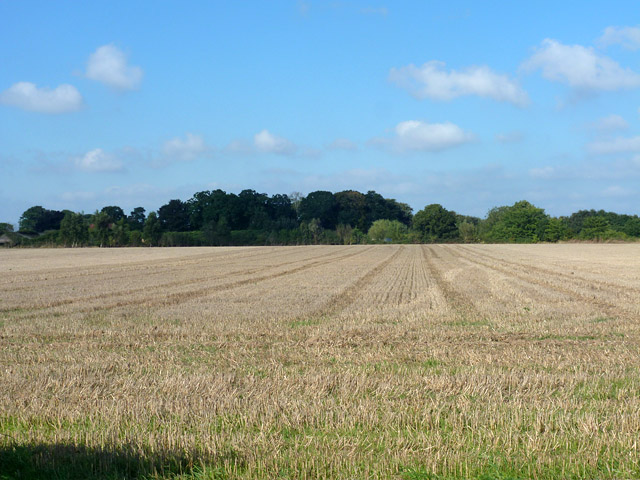
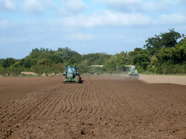
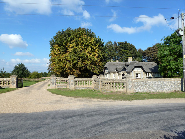
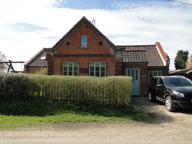
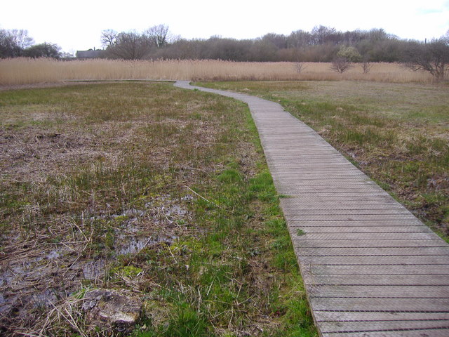
With a population of around 200 residents, Antingham exudes a tranquil and idyllic atmosphere. Its picturesque setting offers a mix of rolling countryside, farmland, and scattered residential properties. The village is surrounded by lush greenery, providing a peaceful escape from the hustle and bustle of city life.

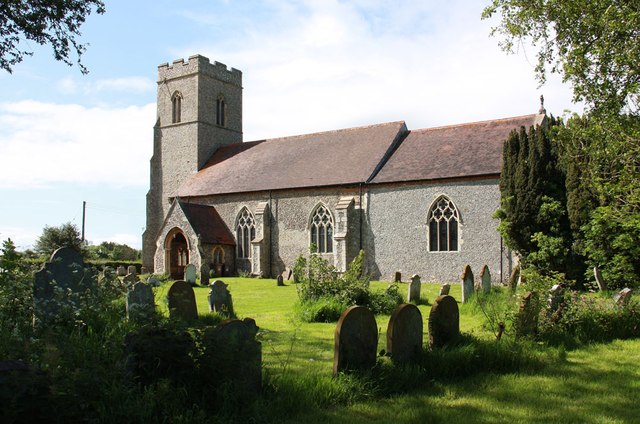
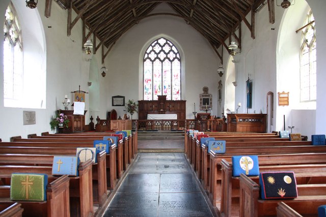
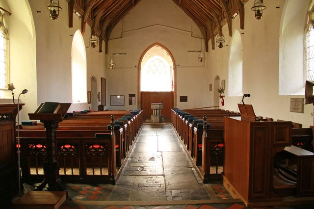
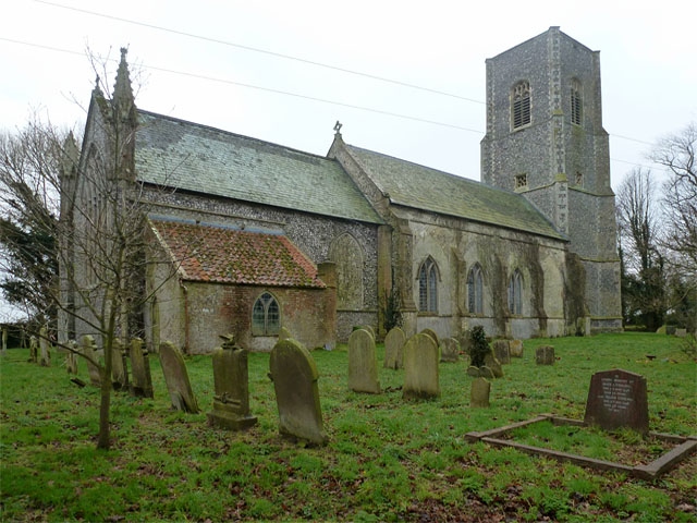
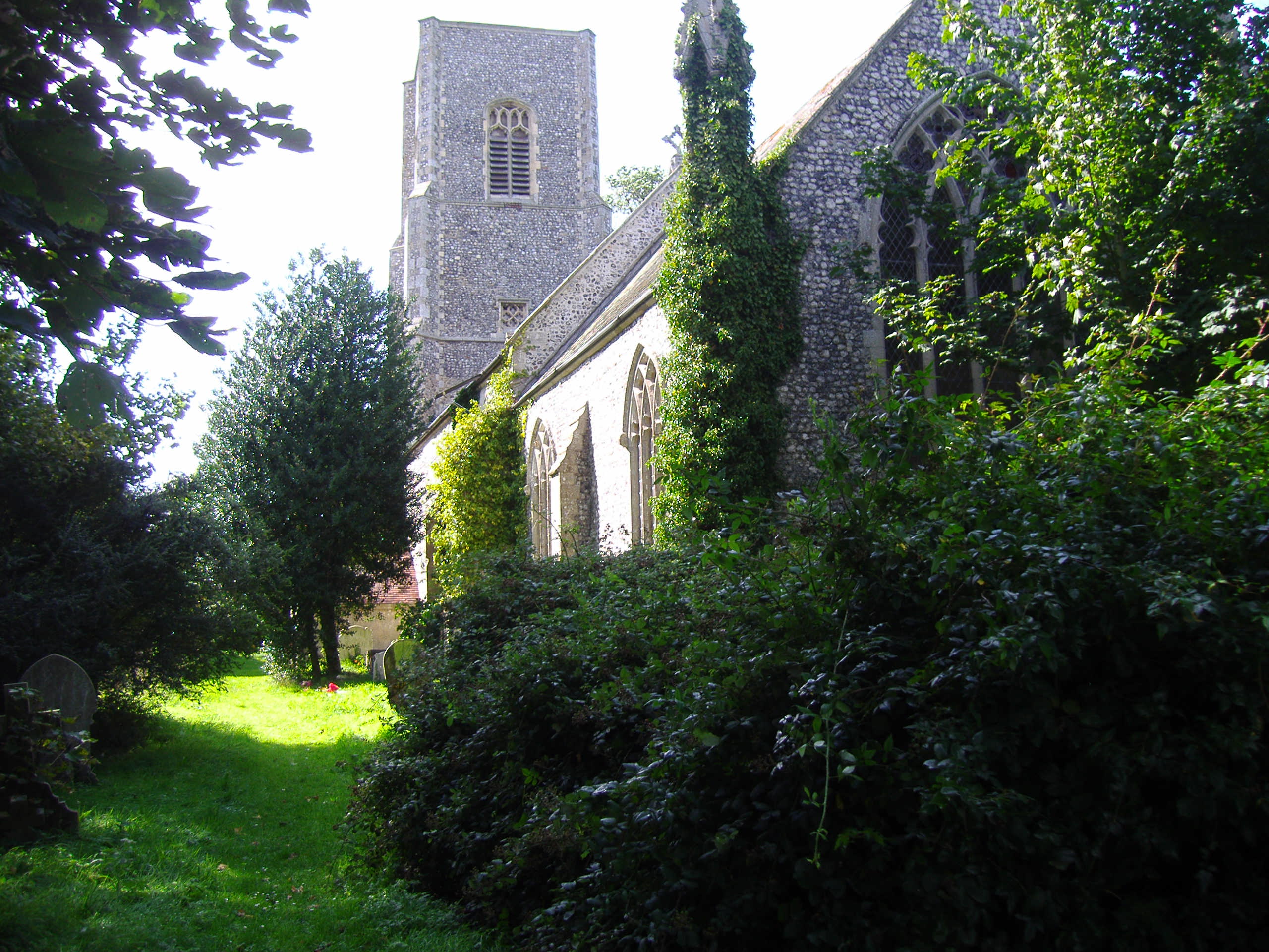
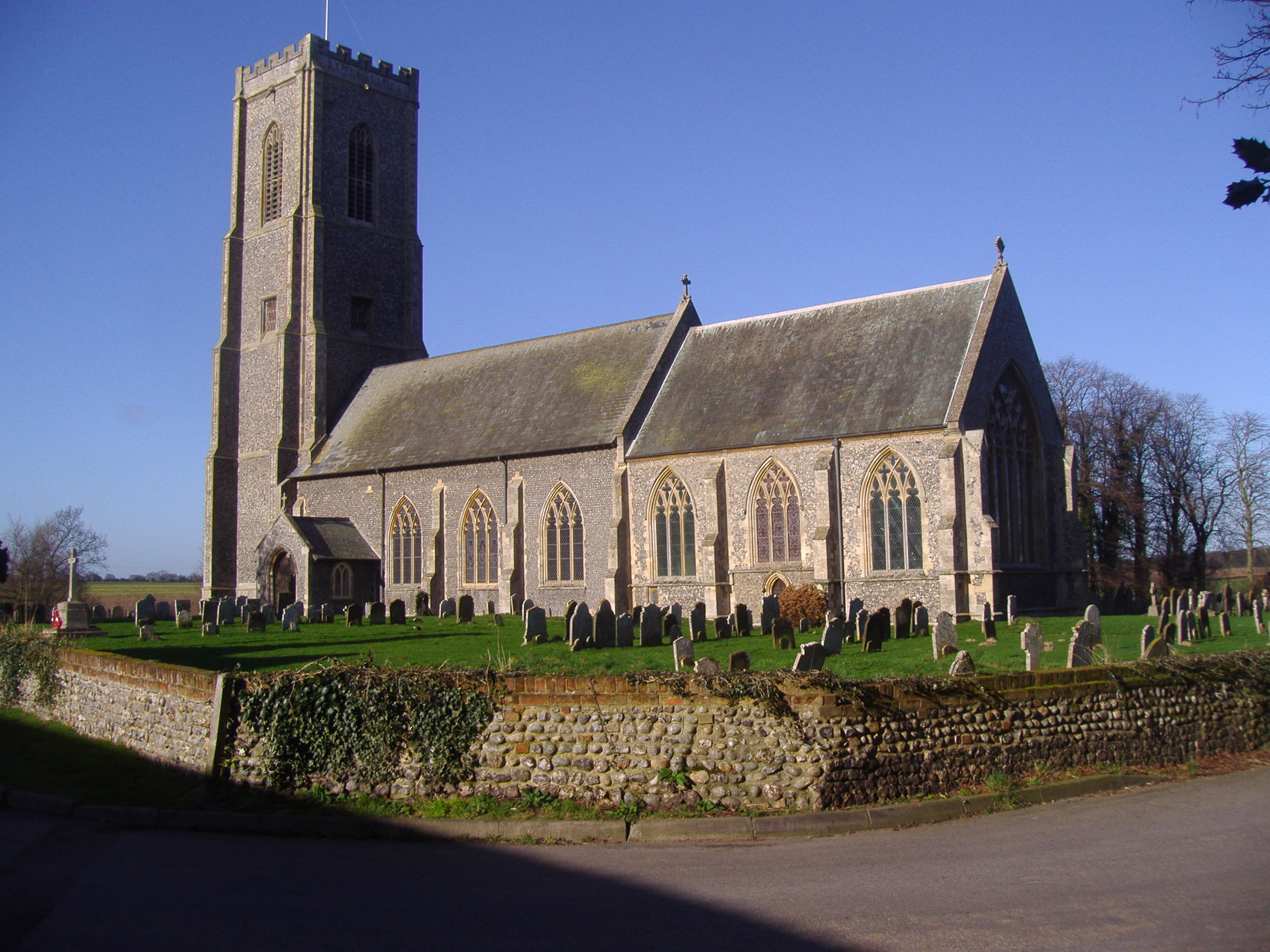
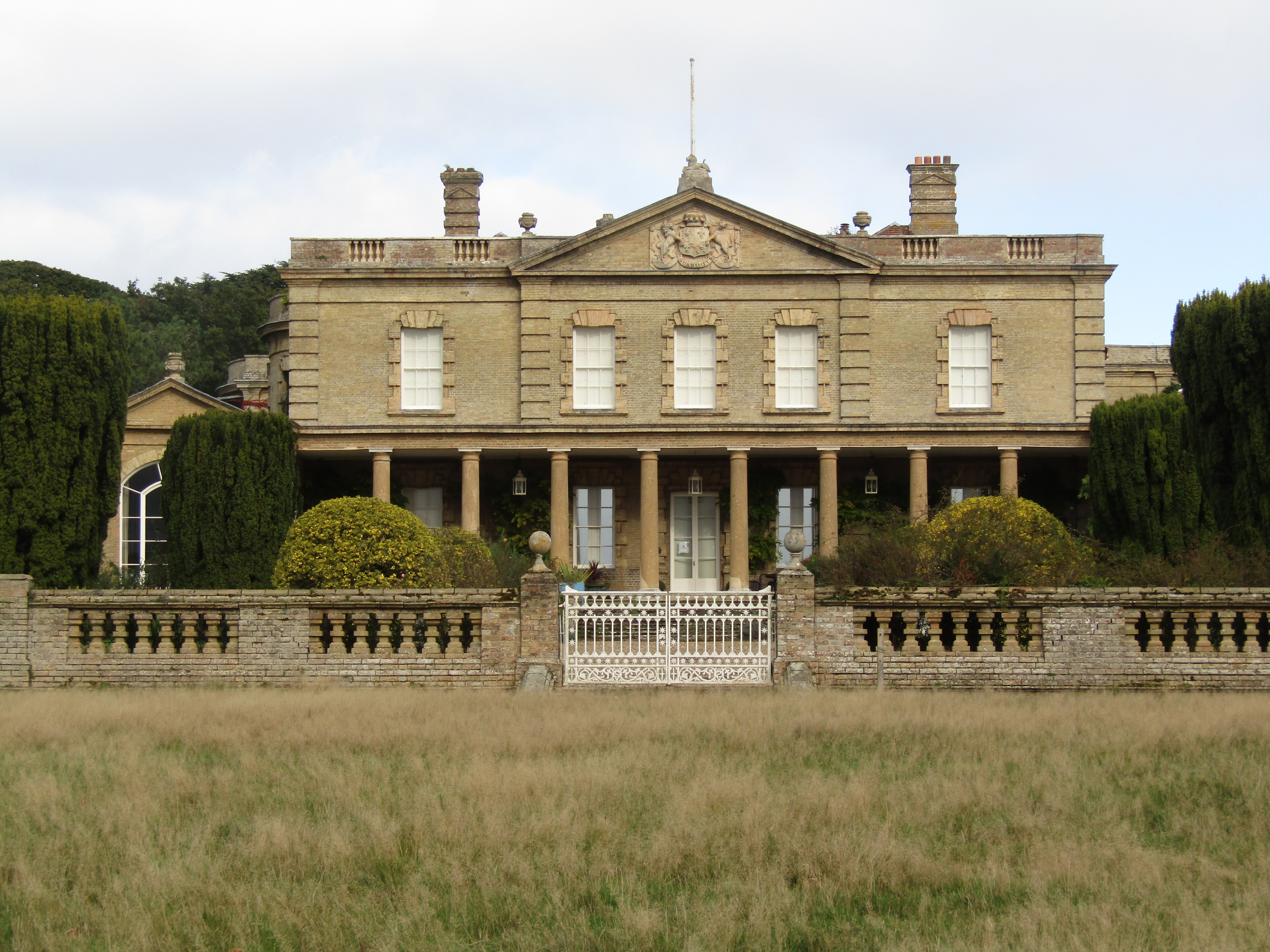
Antingham boasts several notable landmarks and heritage sites. St. Mary's Church, a medieval structure dating back to the 14th century, stands proudly at the heart of the village. Its beautiful architecture and rich history make it a popular destination for history enthusiasts and visitors alike.

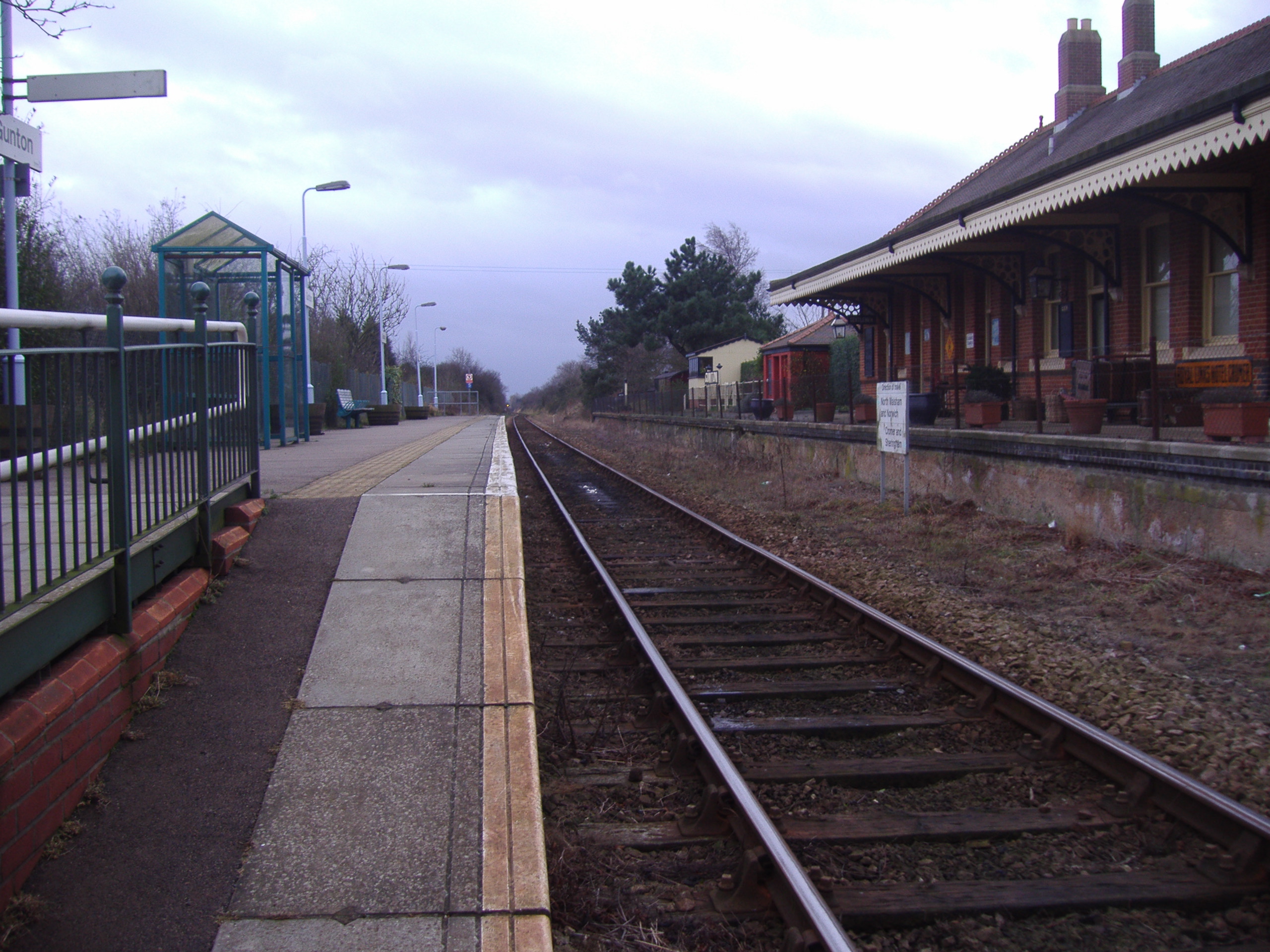
The village is well-connected to nearby towns and cities, with good transportation links. North Walsham, just a short drive away, provides access to a range of amenities, including shops, schools, and healthcare facilities.

Residents of Antingham enjoy a close-knit community spirit, with various local events and activities organized throughout the year. The village hosts an annual summer fete, attracting visitors from surrounding areas.

In conclusion, Antingham, Norfolk, offers a peaceful and scenic retreat, steeped in history and surrounded by natural beauty. Its small population and close community make it an attractive place to live for those seeking a slower pace of life in a charming English village.

If you have any feedback on the listing, please let us know in the comments section below.

Antingham Images

Images are sourced within 2km of 52.846252/1.345608 or Grid Reference TG2532. Thanks to Geograph Open Source API. All images are credited.

St Mary, Antingham
St Mary, Antingham
St Mary, Antingham - East end
St Mary, Antingham - Stained glass window
St Mary, Antingham - West end
St Mary, Antingham - Stained glass window
St Mary, Antingham - Font
Elderton Lane From Antingham to the A149.
Elderton Lane
From Antingham to the A149.
Field of stubble near Antingham Looking towards Antingham Hall, mostly hidden by trees.
Field of stubble near Antingham
Looking towards Antingham Hall, mostly hidden by trees.
Two tractors at work The tractor on the right appears to be ploughing and harrowing in one pass, with an offset harrow working its previous ploughing pass. That on the left seems to be raking and seeding in one pass, with a front mounted rake.
Two tractors at work
The tractor on the right appears to be ploughing and harrowing in one pass, with an offset harrow working its previous ploughing pass. That on the left seems to be raking and seeding in one pass, with a front mounted rake.
A brown field Judging by the activity further east in this field, this has recently been ploughed and seeded.
A brown field
Judging by the activity further east in this field, this has recently been ploughed and seeded.
Suffield Lodge and gate At one of the entrances (signed 'Strictly Private') to Gunton Park.
Suffield Lodge and gate
At one of the entrances (signed 'Strictly Private') to Gunton Park.
Fields south of Southrepps Common The fields are in the parish of Antingham.
Fields south of Southrepps Common
The fields are in the parish of Antingham.
Pillbox, Bradfield The pillbox seems to have had some attention recently, earlier photographs of this area show it extremely well camouflaged with a thick covering of ivy.
Pillbox, Bradfield
The pillbox seems to have had some attention recently, earlier photographs of this area show it extremely well camouflaged with a thick covering of ivy.
Bradfield church St. Giles.
Bradfield church
St. Giles.
The Old Reading Room, now a private house
Road junction in Bradfield, Norfolk
Show me another place!

Antingham is located at Grid Ref: TG2532 (Lat: 52.846252, Lng: 1.345608)

Administrative County: Norfolk

District: North Norfolk

Police Authority: Norfolk

What 3 Words

///prevents.fastening.compound. Near North Walsham, Norfolk

Nearby Locations

Antingham

Related Wikis

Nearby Amenities

Located within 500m of 52.846252,1.345608
Church Lane, adj
Naptan AtcoCode: 2900A112
Naptan Bearing: S
Naptan BusStopType: CUS
Naptan CommonName: Church Lane
Naptan Indicator: adj
Naptan Landmark: Church Lane
Naptan Locality: Antingham
Naptan NaptanCode: nfoadgja
Naptan ShortCommonName: Church Lane
Naptan Street: A148
Naptan Verified: no
Source: naptan_import
Lat/Long: 52.8440363/1.3447027
Church Lane, opp
Naptan AtcoCode: 2900A114
Naptan Bearing: NW
Naptan BusStopType: CUS
Naptan CommonName: Church Lane
Naptan Indicator: opp
Naptan Landmark: Church Lane
Naptan Locality: Antingham
Naptan NaptanCode: nfoadgjg
Naptan ShortCommonName: Church Lane
Naptan Street: A148
Naptan Verified: no
Source: naptan_import
Lat/Long: 52.8439862/1.3445652
Crossing
Crossing: unmarked
Lat/Long: 52.8453493/1.3427395
Historic: memorial
Memorial: war_memorial
Lat/Long: 52.846251/1.3437362
The Old Rectory
Capacity: 5
Phone: +44 1263833375
Tourism: caravan_site
Lat/Long: 52.8489119/1.3482185
Entrance: main
Lat/Long: 52.8458414/1.3435554
Entrance: yes
Lat/Long: 52.8459773/1.3438145
Entrance: yes
Lat/Long: 52.8459995/1.3435005
Give Way
Lat/Long: 52.8440844/1.3408702
Give Way
Lat/Long: 52.8439137/1.3407275
Give Way
Lat/Long: 52.8438866/1.3411058
Give Way
Direction: forward
Lat/Long: 52.8442554/1.3444366
Traffic Calming: island
Lat/Long: 52.8443344/1.3445659
Antingham
Inscription: 1977
Man Made: village_sign
Material: wood
Start Date: 1977
Lat/Long: 52.8444941/1.344295
Material: wood
Power: pole
Lat/Long: 52.8443677/1.3440254
Location Transition: yes
Material: wood
Power: pole
Transformer: distribution
Lat/Long: 52.8452814/1.3427192
Colour: red and white
Marker: aerial
Material: plastic
Utility: gas
Lat/Long: 52.8503427/1.3486574
Colour: yellow
Marker: post
Material: concrete
Utility: gas
Lat/Long: 52.8503369/1.3486716
Colour: yellow
Marker: post
Material: concrete
Utility: gas
Lat/Long: 52.8503214/1.3487678
Colour: red and white
Marker: aerial
Utility: gas
Lat/Long: 52.8485217/1.3396589
Defibrillator
Defibrillator Location: On a post by the side of Southreps Road, next to the Farm Shop.
Emergency: defibrillator
Ref GB The Circuit: BF6F36F8-CA58-4BD1-927B-B06100C6A109
Lat/Long: 52.8486314/1.3471033
Communication Mobile Phone: yes
Man Made: mast
Material: metal
Operator: O2-UK;Vodafone UK
Tower Construction: lattice
Tower Type: communication
Lat/Long: 52.8434232/1.3448837
The data included in this document is from www.openstreetmap.org. The data is made available under ODbL.

Have you been to Antingham?

Leave your review of Antingham below (or comments, questions and feedback).