Anthorn Marsh

Coastal Marsh, Saltings in Cumberland Allerdale

England

Anthorn Marsh

Channel of River Wampool Channel of River Wampool near Anthorn.
Channel of River Wampool Credit: Colin Kinnear

Anthorn Marsh, located in Cumberland, is a picturesque coastal marshland characterized by its vast expanse of salt marshes and saltings. Situated along the Solway Firth, this unique ecosystem spans an area of approximately 250 hectares and is renowned for its diverse range of flora and fauna.

The marsh is primarily composed of muddy and sandy substrates, rich in minerals and nutrients that support a thriving ecosystem. Its proximity to the sea allows for the regular influx of saltwater, creating a brackish environment that is home to a variety of salt-tolerant plant species. These include samphire, sea lavender, and glasswort, which form dense patches of vegetation across the marsh.

The marsh also serves as an important habitat for a wide array of bird species. It is a favored breeding ground for waders such as redshanks, lapwings, and oystercatchers. Additionally, during the winter months, thousands of migratory birds flock to the marsh, including pink-footed geese and whooper swans. The area's grassy salt marshes provide ideal foraging grounds for these birds, making it a popular spot for birdwatchers.

Anthorn Marsh is not only a haven for wildlife but also plays a crucial role in coastal protection. The dense vegetation and intricate network of channels and creeks help absorb and dissipate wave energy, reducing the risk of erosion and flooding along the coastline.

Overall, Anthorn Marsh is a biodiverse and ecologically significant coastal marshland, offering a sanctuary for numerous plant and bird species, as well as playing a vital role in preserving the coastal landscape.

If you have any feedback on the listing, please let us know in the comments section below.

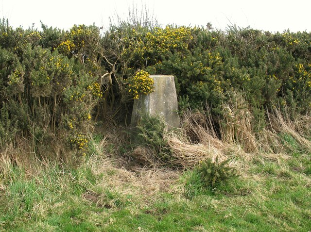
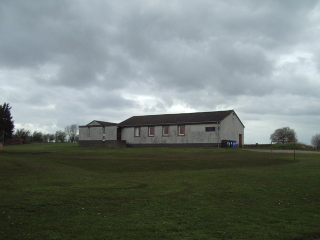
Anthorn Marsh Images

Images are sourced within 2km of 54.911069/-3.2597084 or Grid Reference NY1958. Thanks to Geograph Open Source API. All images are credited.

Channel of River Wampool Channel of River Wampool near Anthorn.
Channel of River Wampool
Channel of River Wampool near Anthorn.
Moricambe Bay The seaweed covered shingle at the extreme end of Grune Point, a sand and shingle spit extending north eastwards into Moricambe Bay, the estuary of the Rivers Wampool and Waver. In the background beyond the waters of Moricambe Bay are the masts of Anthorn Radio Station, location of the three National Physical Laboratory atomic clocks.
Moricambe Bay
The seaweed covered shingle at the extreme end of Grune Point, a sand and shingle spit extending north eastwards into Moricambe Bay, the estuary of the Rivers Wampool and Waver. In the background beyond the waters of Moricambe Bay are the masts of Anthorn Radio Station, location of the three National Physical Laboratory atomic clocks.
Triangulation Pillar, Cardurnock The concrete Ordnance Survey triangulation pillar beside a gorse hedge at Cardurnock.
The pillar was constructed in 1952. The flush bracket benchmark number S6939 on the west southwest face of the pillar marks a height of 18.9558m above mean sea level (Ordnance Datum Newlyn) last levelled for height in 1971 (detail photograph <a href="https://www.geograph.org.uk/photo/7340151">NY1759 : Benchmark, Cardurnock</a>).
Triangulation Pillar, Cardurnock
The concrete Ordnance Survey triangulation pillar beside a gorse hedge at Cardurnock. The pillar was constructed in 1952. The flush bracket benchmark number S6939 on the west southwest face of the pillar marks a height of 18.9558m above mean sea level (Ordnance Datum Newlyn) last levelled for height in 1971 (detail photograph NY1759 : Benchmark, Cardurnock).
Benchmark, Cardurnock Detail of the flush bracket benchmark on the Ordnance Survey triangulation pillar at Cardurnock. The flush bracket, benchmark number S6938, is on the west southwest face of the pillar and marks a height of 18.9558m above mean sea level (Ordnance Datum Newlyn), last levelled for height in 1971 (location photograph <a href="https://www.geograph.org.uk/photo/7340098">NY1759 : Triangulation Pillar, Cardurnock</a>).
Benchmark, Cardurnock
Detail of the flush bracket benchmark on the Ordnance Survey triangulation pillar at Cardurnock. The flush bracket, benchmark number S6938, is on the west southwest face of the pillar and marks a height of 18.9558m above mean sea level (Ordnance Datum Newlyn), last levelled for height in 1971 (location photograph NY1759 : Triangulation Pillar, Cardurnock).
Houses in Anthorn
Houses in Anthorn
The road to Whitrigg
Waver Road - Anthorn
Anthorn Social Club
Anthorn Social Club
Open land on Bowness Common The common here is open land with low scrubby vegetation. The Anthorn antenna masts (outside this square) dominate the local landscape and are visible in the distance in this picture.
Open land on Bowness Common
The common here is open land with low scrubby vegetation. The Anthorn antenna masts (outside this square) dominate the local landscape and are visible in the distance in this picture.
View towards Anthorn from Bowness Common The Common here is open heathland with patches of birch. The rooves of Anthorn (in grid squares to the south) are visible on the skyline.
View towards Anthorn from Bowness Common
The Common here is open heathland with patches of birch. The rooves of Anthorn (in grid squares to the south) are visible on the skyline.
Bowness Common: view towards Rogersceugh Open featureless peaty heathland on Bowness Common. This view east towards Rogersceugh farm (in <a href="https://www.geograph.org.uk/gridref/NY2159">NY2159</a>) shows the boundary between heath and agricultural land near the east side of this square.
Bowness Common: view towards Rogersceugh
Open featureless peaty heathland on Bowness Common. This view east towards Rogersceugh farm (in NY2159) shows the boundary between heath and agricultural land near the east side of this square.
The estuary of the River Wampool at Anthorn The tidal channel of the river is here heading roughly northwards before turning to the west and then south on its way to the Solway Firth. The eastern end of Anthorn is in the background.
The estuary of the River Wampool at Anthorn
The tidal channel of the river is here heading roughly northwards before turning to the west and then south on its way to the Solway Firth. The eastern end of Anthorn is in the background.
Newton Marsh The marsh is mostly dry grassland and is probably grazed from time to time, but is subject to occasional tidal inundation. This area is certainly not as wet as suggested by the Ordnance Survey. Here it is crossed by three parallel barbed-wire fences. The village of Anthorn can be seen beyond the hidden River Wampool.
Newton Marsh
The marsh is mostly dry grassland and is probably grazed from time to time, but is subject to occasional tidal inundation. This area is certainly not as wet as suggested by the Ordnance Survey. Here it is crossed by three parallel barbed-wire fences. The village of Anthorn can be seen beyond the hidden River Wampool.
The head of the Solway Firth Looking into the rising sun towards Carlisle, Anthorn and Bowness-on-Solway, with the Dumfriesshire coast near Caerlaverock to the left.
The head of the Solway Firth
Looking into the rising sun towards Carlisle, Anthorn and Bowness-on-Solway, with the Dumfriesshire coast near Caerlaverock to the left.
An anchor point for one of the radio masts
Entering Anthorn
Entering Anthorn
The radio masts near Anthorn
The former chapel at Anthorn
Show me another place!

Anthorn Marsh is located at Grid Ref: NY1958 (Lat: 54.911069, Lng: -3.2597084)

Administrative County: Cumbria

District: Allerdale

Police Authority: Cumbria

What 3 Words

///houseboat.zooms.plants. Near Annan, Dumfries & Galloway

Nearby Locations

Anthorn Anthorn Marsh

Related Wikis

Anthorn

Anthorn (pronounced AN-thorn) is a village in Cumbria, England. Historically in Cumberland, it is situated on the south side of the Solway Firth, on the...

Anthorn Radio Station

Anthorn Radio Station is a naval and government radio transmitting station located near Anthorn, Cumbria, England, overlooking the Solway Firth, and is...

Time from NPL (MSF)

The Time from NPL is a radio signal broadcast from the Anthorn Radio Station near Anthorn, Cumbria, which serves as the United Kingdom's national time...

Cardurnock

Cardurnock is a small settlement in Cumbria, England. It is by the coast, 20 kilometres (12 mi) west of Carlisle. The western extension of the Hadrian...

Related Videos

Maryport Cumbria August 21

Aerial view of the harbour of Maryport.

Anthorn Cumbria - Where the UK gets its time!

Did you know that the UK time signal is broadcast from the Cumbrian coast? Join me at Anthorn radio station - formally HMS ...

Nearby Amenities

Located within 500m of 54.911069,-3.2597084
Created By: almien_coastlines
Source: PGS
Lat/Long: 54.907144/-3.263531
Source: PGS
Lat/Long: 54.9073935/-3.263309
Created By: almien_coastlines
Source: PGS
Lat/Long: 54.9076679/-3.2629514
Created By: almien_coastlines
Source: PGS
Lat/Long: 54.9079297/-3.2626197
Created By: almien_coastlines
Source: PGS
Lat/Long: 54.9085792/-3.2620401
Source: PGS
Lat/Long: 54.9112553/-3.2525539
Source: PGS
Lat/Long: 54.9102124/-3.2548285
Source: PGS
Lat/Long: 54.9087531/-3.2551074
Anthorn
Place: village
Source: os7
Wikidata: Q776299
Lat/Long: 54.9112027/-3.2613519
Bus Stop
Anthorn Bridge
Naptan AtcoCode: 090002394175
Naptan Bearing: E
Naptan BusStopType: CUS
Naptan CommonName: Anthorn Bridge
Naptan Indicator: near
Naptan Landmark: The Manse
Naptan NaptanCode: cumdptjd
Naptan Street: No Name
Naptan Verified: no
Source: naptan_import
Lat/Long: 54.9122601/-3.2577219
Post Box
Ref: CA7 110
Lat/Long: 54.9102998/-3.2612738
Power: pole
Lat/Long: 54.9090003/-3.266321
Power: pole
Lat/Long: 54.9095989/-3.2656609
Power: pole
Lat/Long: 54.9102414/-3.2646122
Power: pole
Lat/Long: 54.9109095/-3.2635392
Power: pole
Lat/Long: 54.9116278/-3.2623826
Power: pole
Lat/Long: 54.9122339/-3.2614027
Power: pole
Lat/Long: 54.9126753/-3.2606793
Power: pole
Lat/Long: 54.9132493/-3.2592959
Power: pole
Lat/Long: 54.9137367/-3.2580742
Power: pole
Lat/Long: 54.9141204/-3.2571481
Power: pole
Lat/Long: 54.914627/-3.2558893
Power: pole
Lat/Long: 54.91475/-3.2555955
The data included in this document is from www.openstreetmap.org. The data is made available under ODbL.

Have you been to Anthorn Marsh?

Leave your review of Anthorn Marsh below (or comments, questions and feedback).