Barrow End Wood
Wood, Forest in Lancashire South Lakeland
England
Barrow End Wood

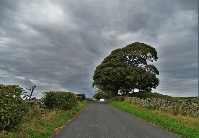
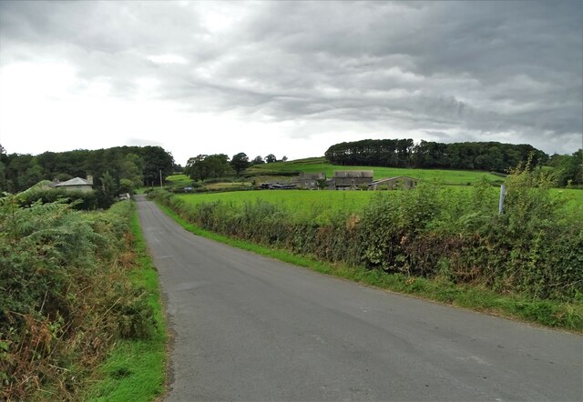
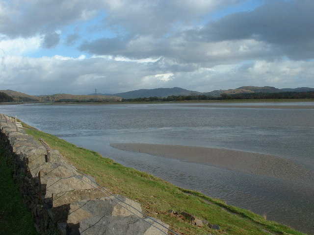
Barrow End Wood is a picturesque forest located in the county of Lancashire, England. Covering an area of approximately 100 acres, it is nestled in the heart of the countryside, offering a tranquil and serene escape from the bustling city life. The wood is situated near the village of Barrowford, just a short distance away from the Pendle Hill Area of Outstanding Natural Beauty.
This ancient woodland boasts a diverse range of flora and fauna, making it a haven for nature enthusiasts and wildlife lovers. The forest is primarily composed of broadleaf trees, including oak, birch, and beech, which provide a stunning spectacle of colors during the autumn months. The woodland floor is adorned with wildflowers, ferns, and mosses, creating a vibrant tapestry of flora.
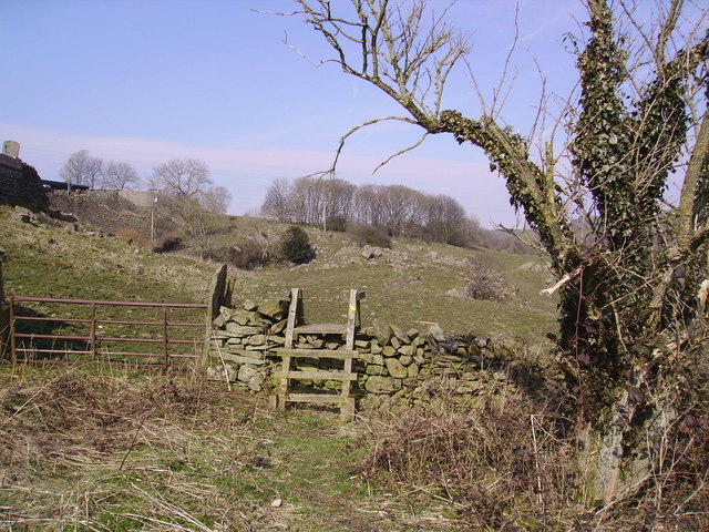
Barrow End Wood is intersected by a network of footpaths, allowing visitors to explore its hidden corners and discover its treasures. The paths meander through the forest, leading to enchanting clearings and secluded spots, where one can sit and soak in the peaceful ambiance. The wood is also home to a variety of wildlife, including deer, foxes, squirrels, and a multitude of bird species, making it a perfect destination for birdwatchers and wildlife photographers.
The wood is open to the public throughout the year, providing an ideal location for nature walks, picnics, and family outings. It is advised to wear appropriate footwear and clothing, as the ground can be uneven and muddy in certain areas. Parking facilities are available nearby, ensuring easy access for visitors.
Overall, Barrow End Wood is a captivating natural gem in Lancashire, offering a delightful retreat for those seeking solace in the beauty of nature.
If you have any feedback on the listing, please let us know in the comments section below.
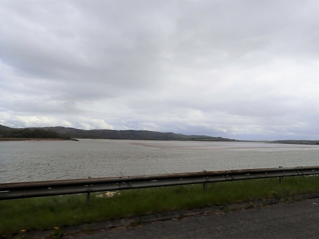
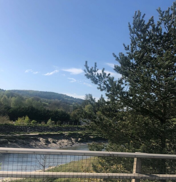
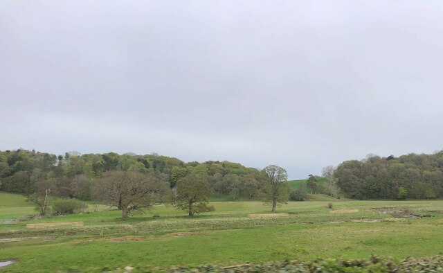
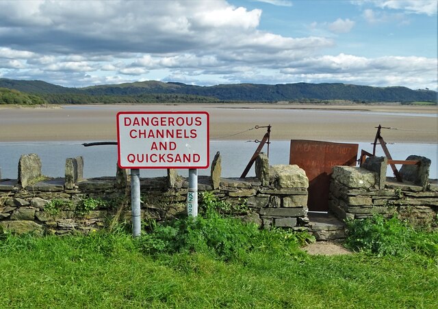
Barrow End Wood Images
Images are sourced within 2km of 54.226418/-3.0558739 or Grid Reference SD3181. Thanks to Geograph Open Source API. All images are credited.


Barrow End Wood is located at Grid Ref: SD3181 (Lat: 54.226418, Lng: -3.0558739)
Administrative County: Cumbria
District: South Lakeland
Police Authority: Cumbria
What 3 Words
///snowstorm.warmers.pampered. Near Ulverston, Cumbria
Nearby Locations
Related Wikis

Greenodd railway station
Greenodd railway station was on the route between Ulverston and Lakeside, built by the Furness Railway. It served the village of Greenodd, then in Lancashire...

Egton with Newland
Egton with Newland, sometimes written as "Egton-with-Newland", is a civil parish in the South Lakeland district of the English county of Cumbria. It includes...

Greenodd
Greenodd is a village in the Furness area of the county of Cumbria, England, but within the historical county of Lancashire. For local government purposes...

River Crake
The River Crake is a short river in the English Lake District. The name probably derives from the Celtic languages (most likely Brythonic languages; ie...
St Mary's Church, Penny Bridge
St Mary's Church is on a site overlooking the villages of Penny Bridge and Greenodd, in the parish of Egton with Newland, Cumbria, England. It is an active...

River Leven, Cumbria
The River Leven (pron. LEV-ən) is a short river in the ceremonial county of Cumbria, falling within the historic boundaries of Lancashire. It drains Windermere...
Arrad Foot
Arrad Foot is a hamlet in South Lakeland, Cumbria, England. The hamlet is situated on a minor road just off the A590 road, with the village of Greenodd...
Mansriggs
Mansriggs is a settlement and civil parish in the South Lakeland district, in the county of Cumbria, England. Because of its small population, in the 2011...
Nearby Amenities
Located within 500m of 54.226418,-3.0558739Have you been to Barrow End Wood?
Leave your review of Barrow End Wood below (or comments, questions and feedback).