Arrad Hill
Hill, Mountain in Lancashire South Lakeland
England
Arrad Hill
Arrad Hill is a prominent geographical feature located in the county of Lancashire, England. Situated in the West Pennine Moors, it stands at an elevation of approximately 1,312 feet (400 meters) above sea level, making it one of the highest points in the region. The hill is part of a designated Area of Outstanding Natural Beauty, offering breathtaking views of the surrounding countryside.
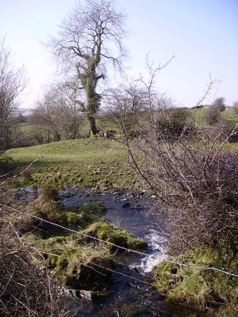
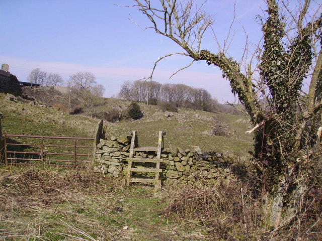
It is characterized by its gently sloping sides and undulating terrain, covered by heather, moorland, and scattered patches of woodland. The hill is primarily composed of gritstone, with exposed rocks and boulders dotting its surface. The rugged landscape provides a habitat for a diverse range of flora and fauna, including various species of birds, mammals, and insects.
Arrad Hill is a popular destination for outdoor enthusiasts, attracting hikers, walkers, and nature lovers throughout the year. Several well-marked trails lead to its summit, providing an opportunity for visitors to explore the area's natural beauty and enjoy panoramic vistas of Lancashire's countryside.
In addition to its natural appeal, Arrad Hill holds historical significance. The hill is believed to have been used as a beacon site during the medieval period, serving as a communication point to warn of potential threats. Remnants of these beacons can still be found on the summit, adding an intriguing historical dimension to the area.
Overall, Arrad Hill offers a captivating blend of natural beauty, recreational opportunities, and historical significance, making it a noteworthy destination for both locals and tourists seeking to immerse themselves in the charm of Lancashire's countryside.
If you have any feedback on the listing, please let us know in the comments section below.
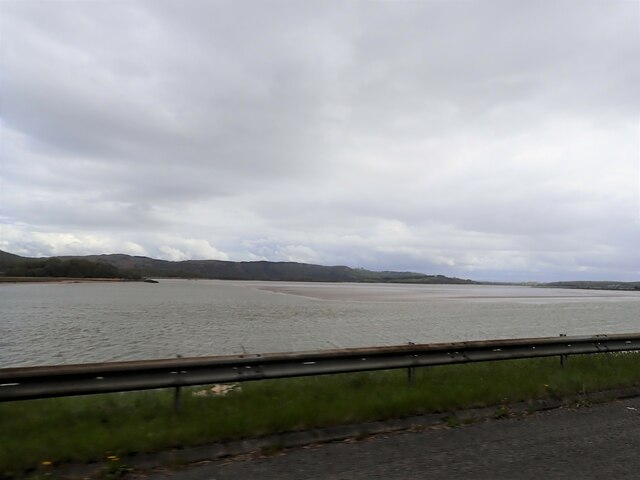
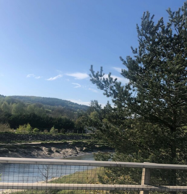
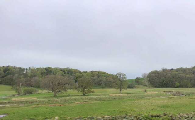
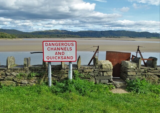
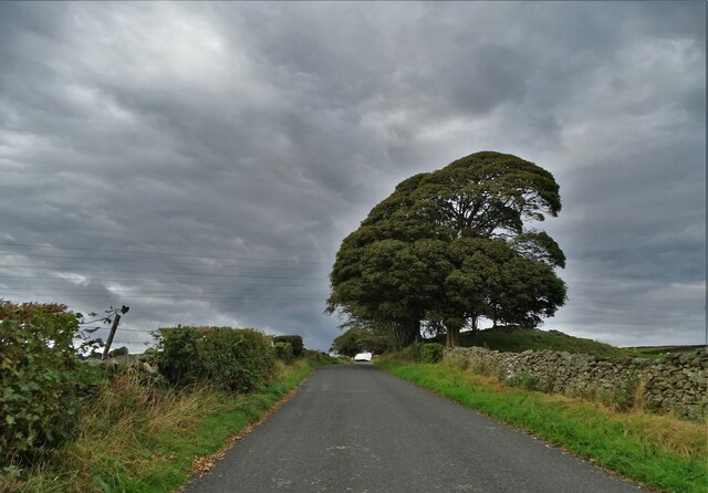
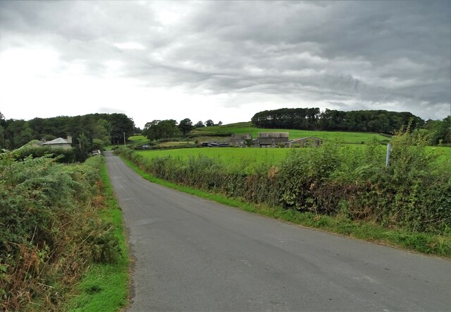
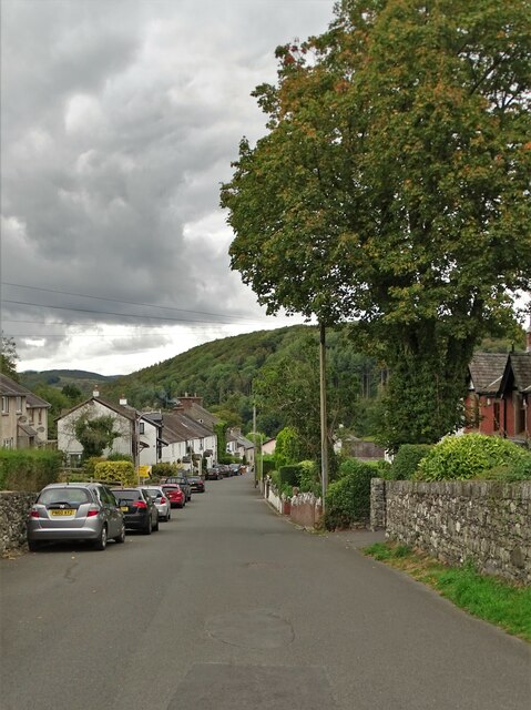
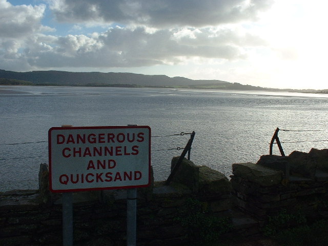
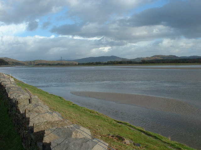
Arrad Hill Images
Images are sourced within 2km of 54.227219/-3.0588702 or Grid Reference SD3181. Thanks to Geograph Open Source API. All images are credited.


Arrad Hill is located at Grid Ref: SD3181 (Lat: 54.227219, Lng: -3.0588702)
Administrative County: Cumbria
District: South Lakeland
Police Authority: Cumbria
What 3 Words
///commuted.swanky.mourner. Near Ulverston, Cumbria
Nearby Locations
Related Wikis

Greenodd railway station
Greenodd railway station was on the route between Ulverston and Lakeside, built by the Furness Railway. It served the village of Greenodd, then in Lancashire...

Egton with Newland
Egton with Newland, sometimes written as "Egton-with-Newland", is a civil parish in the South Lakeland district of the English county of Cumbria. It includes...
St Mary's Church, Penny Bridge
St Mary's Church is on a site overlooking the villages of Penny Bridge and Greenodd, in the parish of Egton with Newland, Cumbria, England. It is an active...

Greenodd
Greenodd is a village in the Furness area of the county of Cumbria, England, but within the historical county of Lancashire. For local government purposes...

River Crake
The River Crake is a short river in the English Lake District. The name probably derives from the Celtic languages (most likely Brythonic languages; ie...

River Leven, Cumbria
The River Leven (pron. LEV-ən) is a short river in the ceremonial county of Cumbria, falling within the historic boundaries of Lancashire. It drains Windermere...
Arrad Foot
Arrad Foot is a hamlet in South Lakeland, Cumbria, England. The hamlet is situated on a minor road just off the A590 road, with the village of Greenodd...
Mansriggs
Mansriggs is a settlement and civil parish in the South Lakeland district, in the county of Cumbria, England. Because of its small population, in the 2011...
Nearby Amenities
Located within 500m of 54.227219,-3.0588702Have you been to Arrad Hill?
Leave your review of Arrad Hill below (or comments, questions and feedback).