Barrow End Rocks
Coastal Feature, Headland, Point in Lancashire South Lakeland
England
Barrow End Rocks
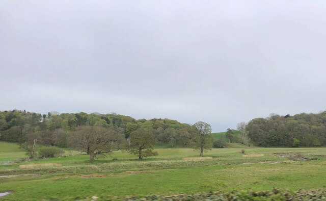
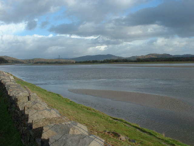
Barrow End Rocks is a prominent coastal feature located in Lancashire, England. Situated along the shoreline, it is classified as a headland and point due to its geographical formation. The rocks are positioned at the end of Barrow Close, a small village nestled near the coast.
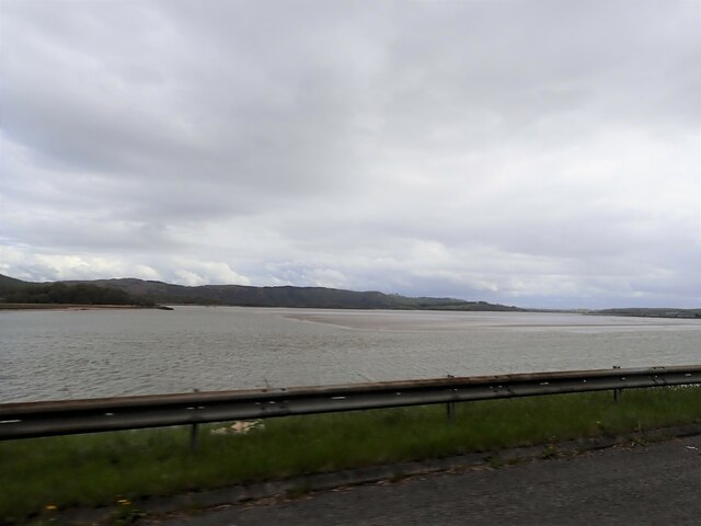
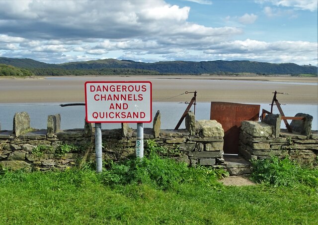
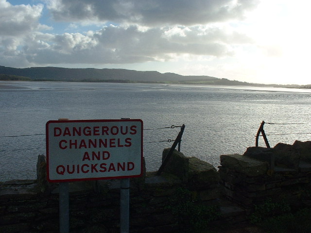
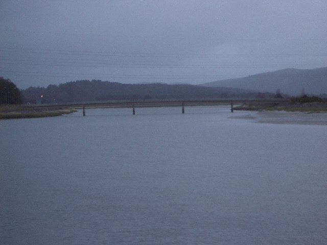
The headland is composed of a series of rugged and jagged rocks, which have been shaped by years of erosion caused by the relentless crashing of waves. The rocks themselves are primarily made up of sandstone, lending them a distinctive reddish-brown color. They extend outwards into the Irish Sea, creating a natural barrier between the land and the water.
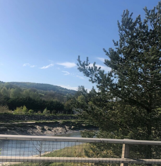
The area surrounding Barrow End Rocks is a popular destination for both locals and tourists alike. The headland offers breathtaking panoramic views of the coastline, with the vast expanse of the sea stretching out before it. On clear days, it is possible to see as far as the Isle of Man, adding to the allure of the site.
The rocks also attract nature enthusiasts, as they provide a habitat for various seabirds and marine life. Birdwatchers can spot species such as gulls, cormorants, and puffins, while seals and dolphins occasionally make appearances in the waters below.
In addition to its natural beauty, Barrow End Rocks holds historical significance. It is believed to have served as a lookout point during World War II, with remnants of observation posts and gun emplacements still visible today.
Overall, Barrow End Rocks is a captivating coastal feature, offering a combination of stunning vistas, diverse wildlife, and a glimpse into the region's past.
If you have any feedback on the listing, please let us know in the comments section below.
Barrow End Rocks Images
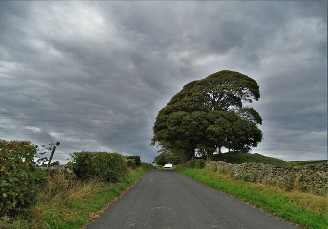
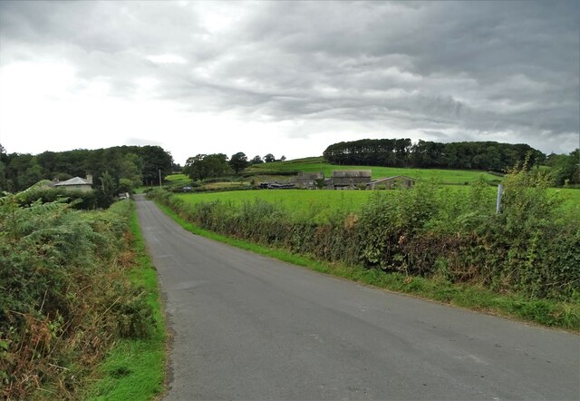
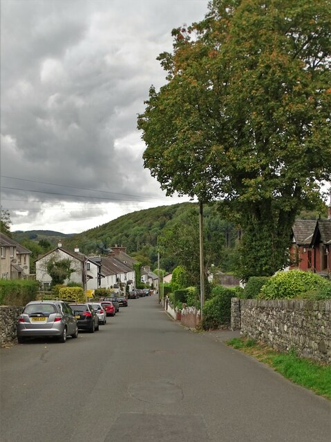
Images are sourced within 2km of 54.224957/-3.0523394 or Grid Reference SD3181. Thanks to Geograph Open Source API. All images are credited.


Barrow End Rocks is located at Grid Ref: SD3181 (Lat: 54.224957, Lng: -3.0523394)
Administrative County: Cumbria
District: South Lakeland
Police Authority: Cumbria
What 3 Words
///array.boomers.judges. Near Ulverston, Cumbria
Nearby Locations
Related Wikis

Greenodd railway station
Greenodd railway station was on the route between Ulverston and Lakeside, built by the Furness Railway. It served the village of Greenodd, then in Lancashire...

River Crake
The River Crake is a short river in the English Lake District. The name probably derives from the Celtic languages (most likely Brythonic languages; ie...
Arrad Foot
Arrad Foot is a hamlet in South Lakeland, Cumbria, England. The hamlet is situated on a minor road just off the A590 road, with the village of Greenodd...

Greenodd
Greenodd is a village in the Furness area of the county of Cumbria, England, but within the historical county of Lancashire. For local government purposes...

Egton with Newland
Egton with Newland, sometimes written as "Egton-with-Newland", is a civil parish in the South Lakeland district of the English county of Cumbria. It includes...

River Leven, Cumbria
The River Leven (pron. LEV-ən) is a short river in the ceremonial county of Cumbria, falling within the historic boundaries of Lancashire. It drains Windermere...
St Mary's Church, Penny Bridge
St Mary's Church is on a site overlooking the villages of Penny Bridge and Greenodd, in the parish of Egton with Newland, Cumbria, England. It is an active...
Mansriggs
Mansriggs is a settlement and civil parish in the South Lakeland district, in the county of Cumbria, England. Because of its small population, in the 2011...
Nearby Amenities
Located within 500m of 54.224957,-3.0523394Have you been to Barrow End Rocks?
Leave your review of Barrow End Rocks below (or comments, questions and feedback).