Blain's Wood
Wood, Forest in Cumberland Allerdale
England
Blain's Wood
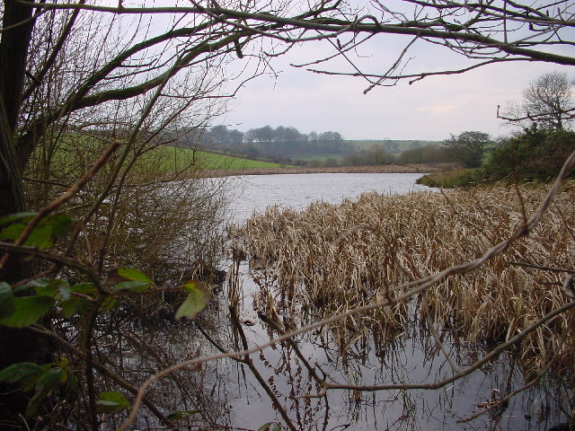
Blain's Wood, located in Cumberland, is a picturesque forest that spans over a vast area of land. It is renowned for its natural beauty and diverse flora and fauna, attracting nature enthusiasts, hikers, and photographers alike. The wood is situated on the outskirts of a small village, surrounded by rolling hills and meandering streams, providing a serene and tranquil environment.
The woodland is primarily composed of ancient oak trees, some dating back several centuries. These majestic giants create a dense canopy, casting a dappled shade over the forest floor. Beneath the towering oaks, a rich undergrowth of ferns, mosses, and wildflowers flourishes, adding to the wood's enchanting atmosphere.
Blain's Wood is home to a wide variety of wildlife. Deer, foxes, and rabbits can often be spotted roaming through the trees, while birds such as woodpeckers, owls, and thrushes fill the air with their melodious songs. The wood also houses several species of rare and endangered plants, making it an important conservation area.
The wood offers numerous walking trails and pathways, allowing visitors to explore its hidden wonders. A well-maintained network of footpaths winds through the forest, leading to secluded clearings and viewpoints that offer breathtaking vistas of the surrounding countryside.
Blain's Wood is a cherished natural gem, providing a sanctuary for both nature and its visitors. Its serene atmosphere, diverse wildlife, and stunning landscapes make it a must-visit destination for anyone seeking solace in the embrace of nature.
If you have any feedback on the listing, please let us know in the comments section below.
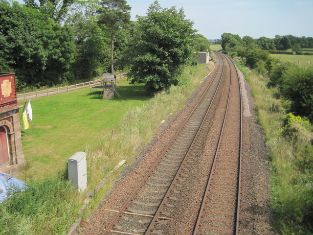
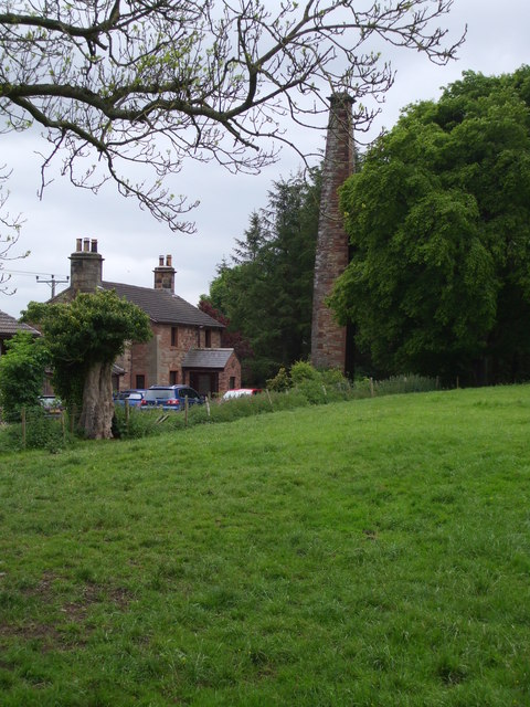
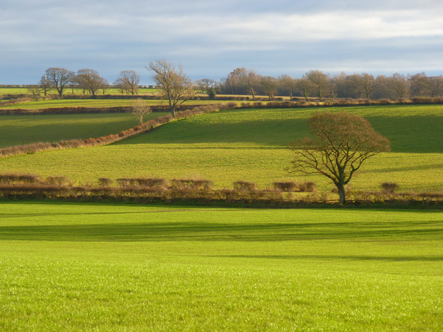
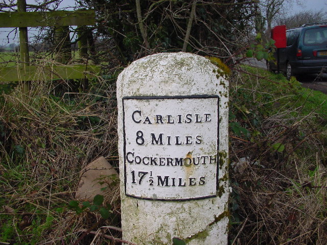
Blain's Wood Images
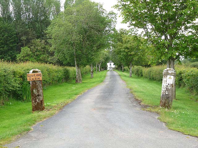
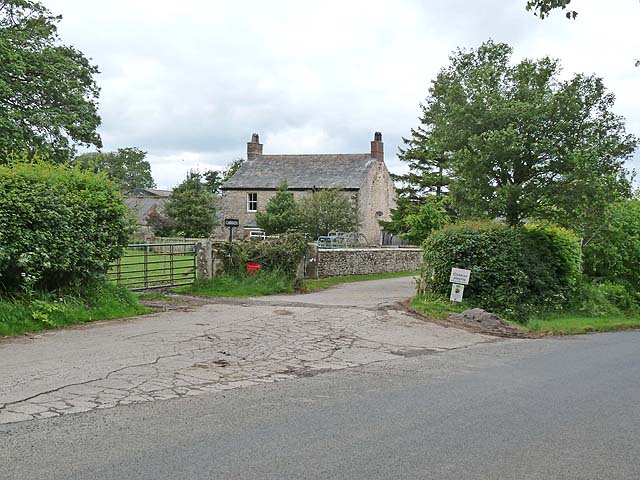
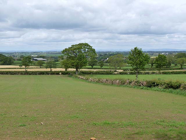
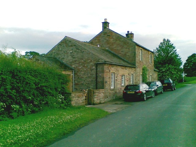
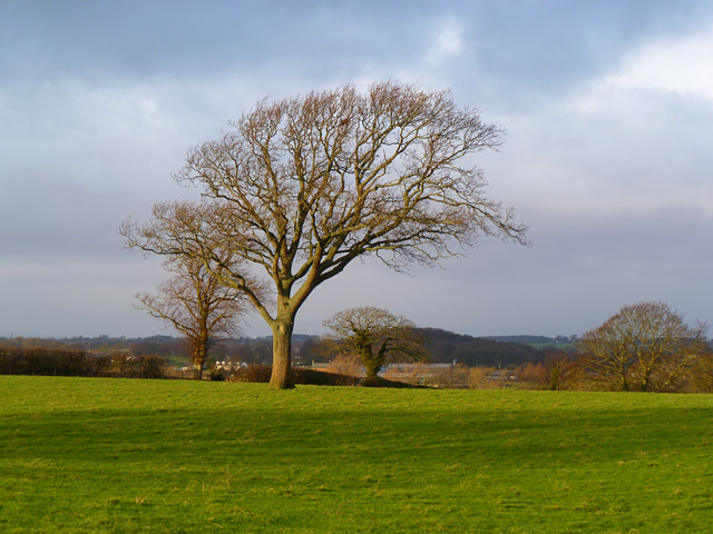
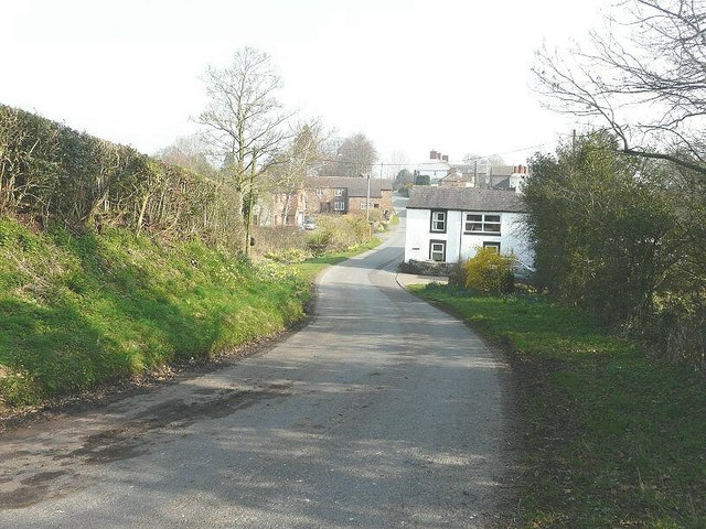
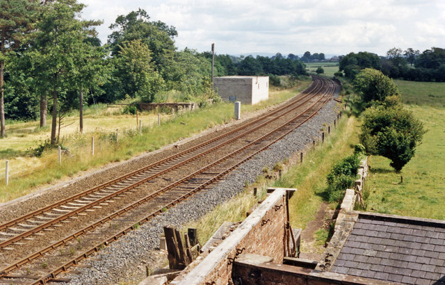
Images are sourced within 2km of 54.827121/-3.0715719 or Grid Reference NY3148. Thanks to Geograph Open Source API. All images are credited.


Blain's Wood is located at Grid Ref: NY3148 (Lat: 54.827121, Lng: -3.0715719)
Administrative County: Cumbria
District: Allerdale
Police Authority: Cumbria
What 3 Words
///lists.wove.admiringly. Near Wigton, Cumbria
Nearby Locations
Related Wikis
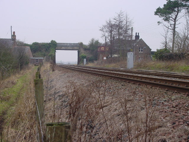
Curthwaite railway station
Curthwaite was a railway station on the Maryport and Carlisle Railway (M&CR) serving West Curthwaite and Thursby in Cumbria. The station was opened by...
Crofton, Cumbria
Crofton is an area of Thursby, Allerdale district of Cumbria, England. It is 6.4 miles (10.3 km) west-southwest of Carlisle. In 1870-72 the township had...
East Curthwaite
East Curthwaite is a hamlet in Cumbria, England. Meaning "Clearing near or belonging to a church", it was documented as "Kyrkthwate" in 1272. == See... ==

Thursby
Thursby is a village in the Cumberland Council district of Cumbria, England. It is near to the city of Carlisle in North West England. Thursby was historically...
Nearby Amenities
Located within 500m of 54.827121,-3.0715719Have you been to Blain's Wood?
Leave your review of Blain's Wood below (or comments, questions and feedback).