Hoathwaite Coppice
Wood, Forest in Lancashire South Lakeland
England
Hoathwaite Coppice
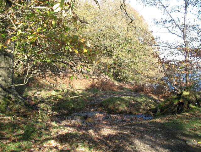
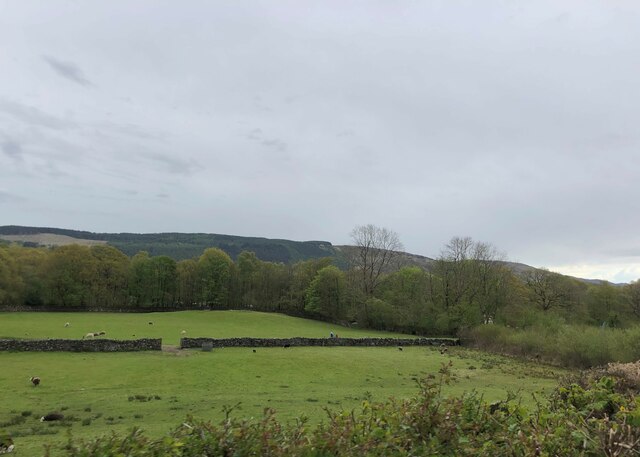
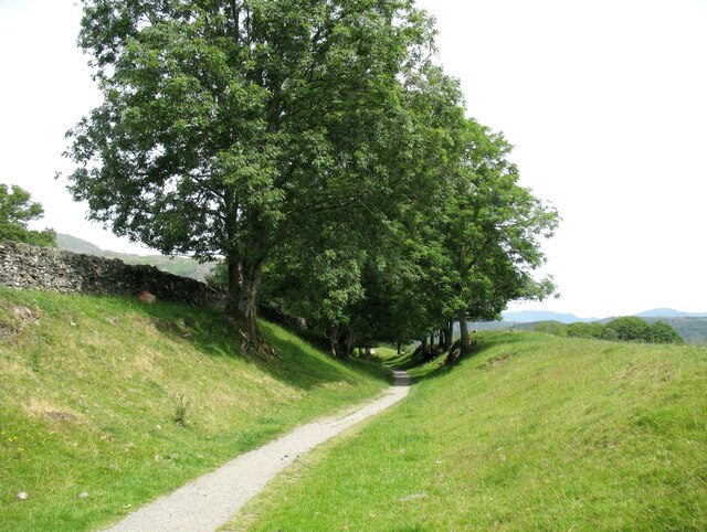
Hoathwaite Coppice is a beautiful woodland located in the county of Lancashire, England. Situated in the southern part of the county, this coppice is a prime example of a traditional British woodland.
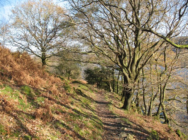
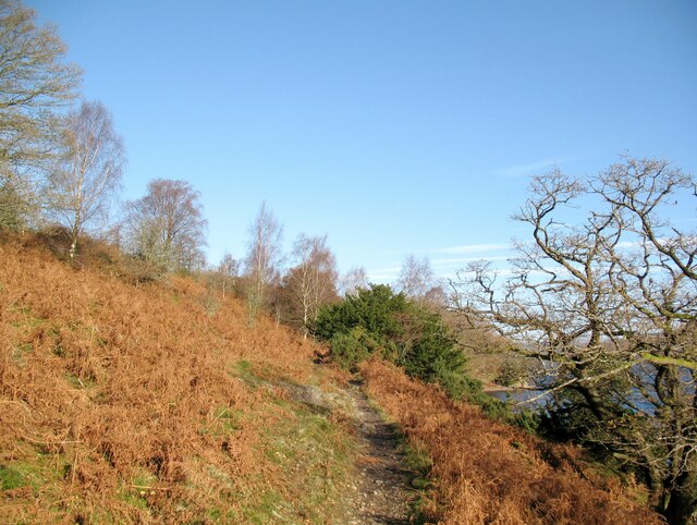
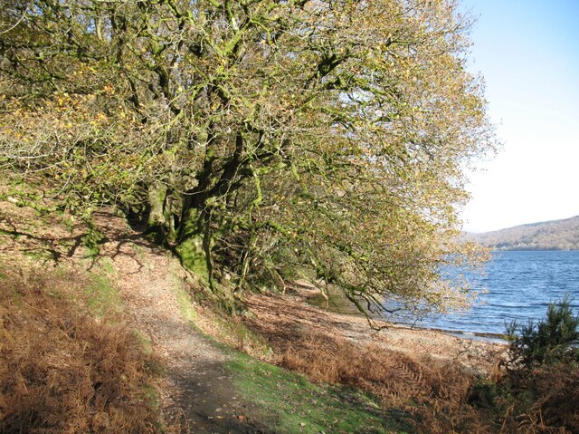
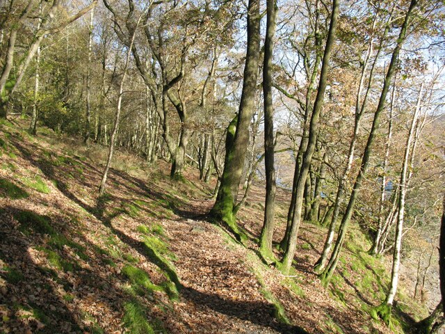
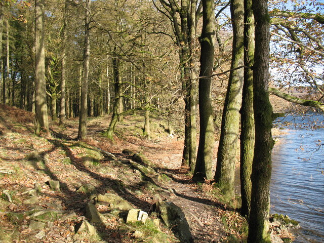
Covering an area of approximately 100 acres, Hoathwaite Coppice is home to a diverse range of flora and fauna, making it a haven for nature enthusiasts and wildlife lovers. The woodland consists mainly of deciduous trees, such as oak, beech, and birch, which create a stunning display of colors during the autumn months. The dense canopy provides a cool and shady environment, perfect for a peaceful walk or a picnic on a hot summer day.
The coppice has a rich history that dates back centuries. It has been managed sustainably for many generations, with periodic tree cutting to encourage new growth and maintain a healthy ecosystem. This traditional method of woodland management has resulted in a thriving habitat for a variety of species, including birds, butterflies, and small mammals.
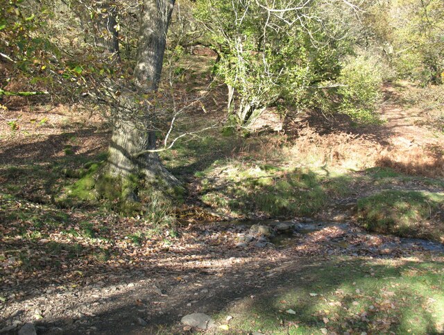
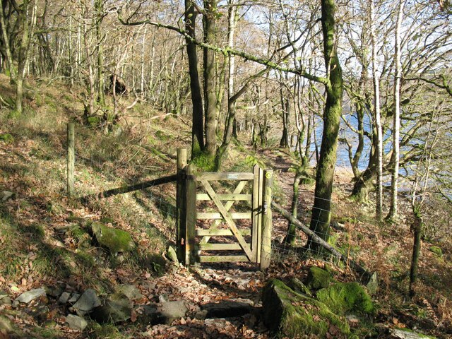
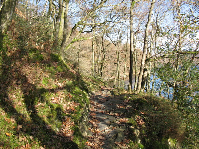
Hoathwaite Coppice offers several walking trails, allowing visitors to explore its natural beauty at their own pace. These trails wind through the woodland, offering glimpses of hidden ponds, ancient trees, and wildflowers. There are also designated birdwatching areas and wildlife observation points, providing excellent opportunities to spot some of the woodland's inhabitants.
In addition to its natural beauty, Hoathwaite Coppice also holds cultural significance. It has been a source of inspiration for local artists, poets, and writers throughout the years, who have sought solace and creativity within its tranquil surroundings.
Overall, Hoathwaite Coppice is a cherished natural gem in Lancashire, offering a peaceful retreat and a chance to connect with the beauty of the British countryside.
If you have any feedback on the listing, please let us know in the comments section below.
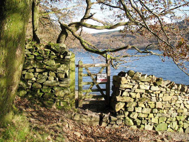
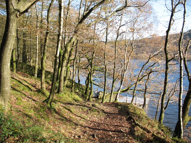
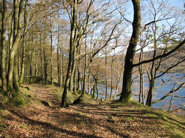
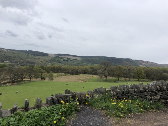
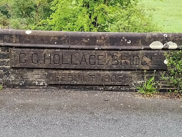
Hoathwaite Coppice Images
Images are sourced within 2km of 54.344098/-3.0817636 or Grid Reference SD2994. Thanks to Geograph Open Source API. All images are credited.
Hoathwaite Coppice is located at Grid Ref: SD2994 (Lat: 54.344098, Lng: -3.0817636)
Administrative County: Cumbria
District: South Lakeland
Police Authority: Cumbria
What 3 Words
///nappy.ensemble.dentures. Near Windermere, Cumbria
Related Wikis

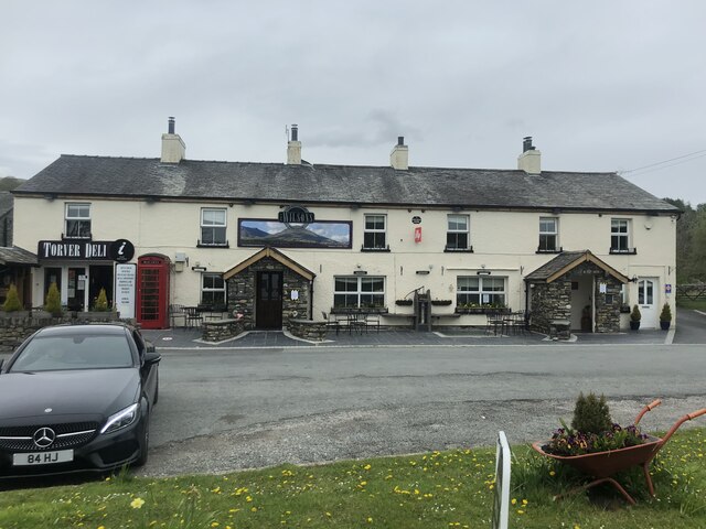
Bowmanstead
Bowmanstead is a village in Cumbria, England. It is situated 1 mile to the south of Coniston and contains a Catholic church and a pub - The Ship Inn, it...

Coniston Water
Coniston Water is a lake in the Lake District in North West England. It is the third largest by volume, after Windermere and Ullswater, and the fifth-largest...

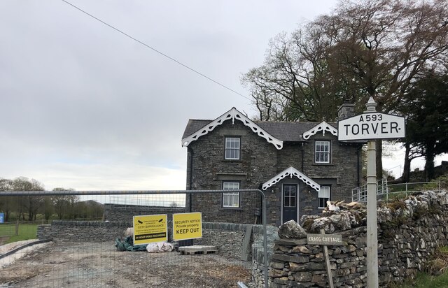
Torver railway station
Torver railway station served the village of Torver, in Lancashire, England (now in Cumbria). It was on the branch line to Coniston. == History == Authorised...

St Luke's Church, Torver
St Luke's Church is in the village of Torver, Cumbria, England. It is an active Anglican parish church in the deanery of Furness, the archdeaconry of...
Nearby Amenities
Located within 500m of 54.344098,-3.0817636Have you been to Hoathwaite Coppice?
Leave your review of Hoathwaite Coppice below (or comments, questions and feedback).