Tinkers' Wood
Wood, Forest in Herefordshire
England
Tinkers' Wood

Tinkers' Wood is a picturesque woodland located in Herefordshire, England. Spanning across several hectares, it is a popular destination for nature enthusiasts and those seeking tranquility amidst the beauty of the natural world. The wood is situated in a rural area, surrounded by rolling hills and meadows, providing visitors with a stunning backdrop for their exploration.
The woodland itself is predominantly composed of native tree species, including oak, ash, and beech. These trees form a dense canopy that offers shade and shelter to a myriad of wildlife species. Birdwatchers will be delighted to spot a variety of avian inhabitants, such as woodpeckers, thrushes, and warblers.
Tinkers' Wood is also renowned for its vibrant wildflower display, particularly in the spring and summer months. Dotted throughout the woodland floor, an array of colorful blooms, including bluebells, primroses, and wood anemones, create a captivating sight for visitors.
The woodland is intersected by well-maintained footpaths, providing visitors with the opportunity to explore its natural wonders at their own pace. These paths lead visitors through the heart of the wood, allowing them to discover hidden clearings, babbling brooks, and secluded picnic spots.
Tinkers' Wood is a cherished natural treasure in Herefordshire, offering a peaceful retreat for individuals and families alike. Its enchanting beauty and diverse wildlife make it a must-visit destination for anyone seeking a connection with nature.
If you have any feedback on the listing, please let us know in the comments section below.
Tinkers' Wood Images
Images are sourced within 2km of 52.220951/-3.0294201 or Grid Reference SO2958. Thanks to Geograph Open Source API. All images are credited.


Tinkers' Wood is located at Grid Ref: SO2958 (Lat: 52.220951, Lng: -3.0294201)
Unitary Authority: County of Herefordshire
Police Authority: West Mercia
What 3 Words
///wires.backswing.many. Near Kington, Herefordshire
Nearby Locations
Related Wikis

Rushock, Herefordshire
Rushock is a small village in Herefordshire, England. It lies about 1 mile north-east of Kington. The population of the civil parish was 131 at the 2011...

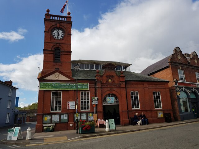
Kington railway station
Kington railway station was a station in Kington, Herefordshire, England. Replacing an earlier terminus station which had been opened in 1857, the station...
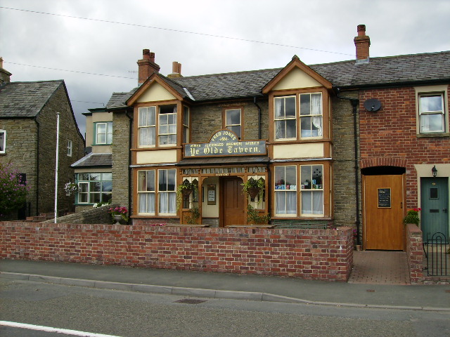
Ye Olde Tavern, Kington
Ye Olde Tavern is a Grade II listed public house at 22 Victoria Rd, Kington, Herefordshire, England, built in the late 18th/early 19th century.It is on...
Kington Castle
Kington Castle stood in the medieval market town of Kington in Herefordshire, England (grid reference SO291569). It was built in the 11th century and destroyed...
Nearby Amenities
Located within 500m of 52.220951,-3.0294201Have you been to Tinkers' Wood?
Leave your review of Tinkers' Wood below (or comments, questions and feedback).