Harrison Coppice
Wood, Forest in Lancashire South Lakeland
England
Harrison Coppice
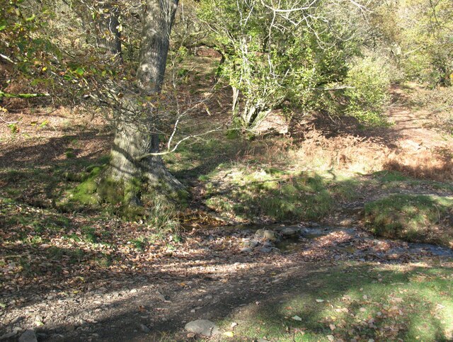
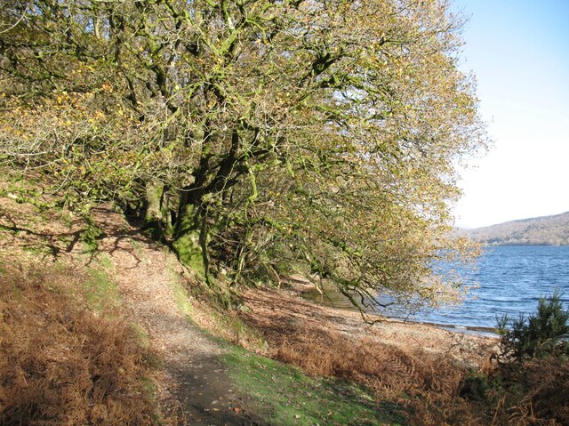
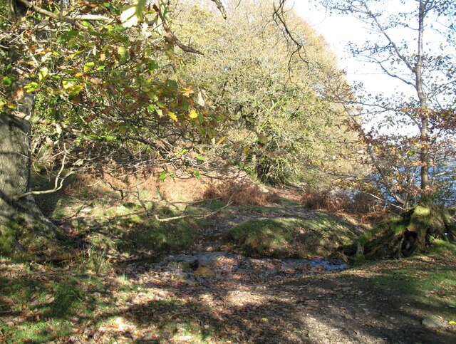
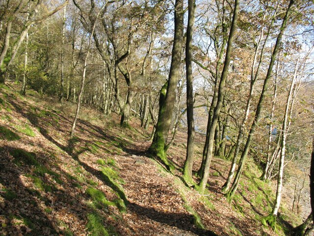
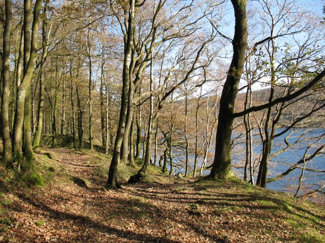
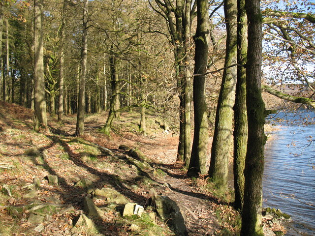
Harrison Coppice is a picturesque woodland area located in Lancashire, England. Situated on the outskirts of the small village of Harrison, this ancient coppice has a rich history dating back several centuries. The woodland is characterized by its dense canopy of tall, mature trees, predominantly oak and beech, creating a serene and tranquil atmosphere.
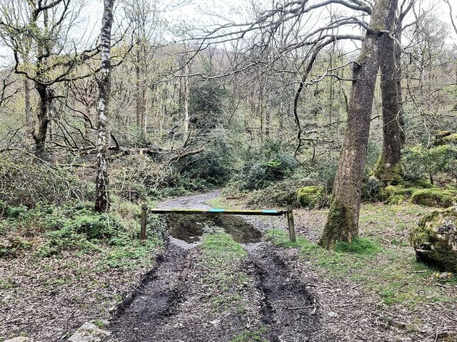
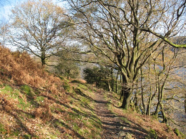
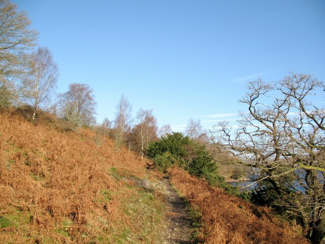
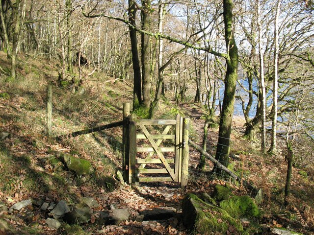
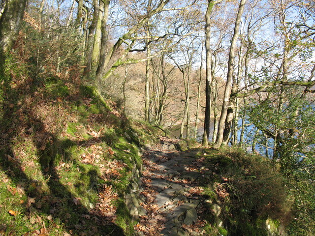
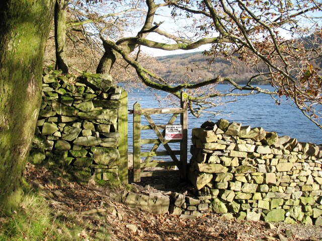
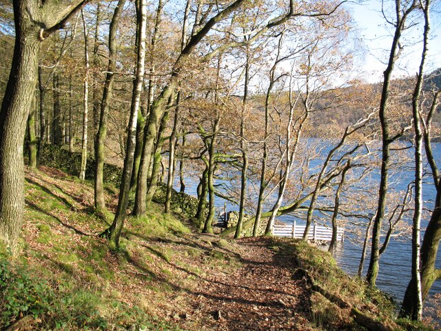
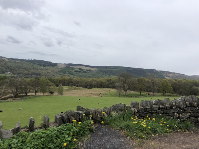
Covering an area of approximately 50 acres, Harrison Coppice is a popular destination for nature enthusiasts and hikers. The well-maintained footpaths wind through the forest, offering visitors the opportunity to explore its diverse flora and fauna. Wildflowers, such as bluebells and primroses, carpet the forest floor during spring, providing a vibrant burst of color.
The woodland is also home to a variety of wildlife, including deer, foxes, and a wide range of bird species. Birdwatchers can often spot woodpeckers, owls, and kestrels among the treetops. The coppice is a designated Site of Special Scientific Interest (SSSI), owing to its importance for conservation and biodiversity.
Harrison Coppice has a rich cultural heritage, with evidence of human activity dating back to the Neolithic period. Archaeological finds, including ancient pottery and tools, have been unearthed within the woodland, indicating its historical significance. The site is also known for its connections to local folklore and legends, further adding to its allure.
Visitors to Harrison Coppice can enjoy the tranquility of the woodland, breathe in the fresh air, and appreciate the beauty of nature. Whether it's a leisurely walk, a birdwatching expedition, or a journey into the past, this enchanting forest offers something for everyone.
If you have any feedback on the listing, please let us know in the comments section below.
Harrison Coppice Images
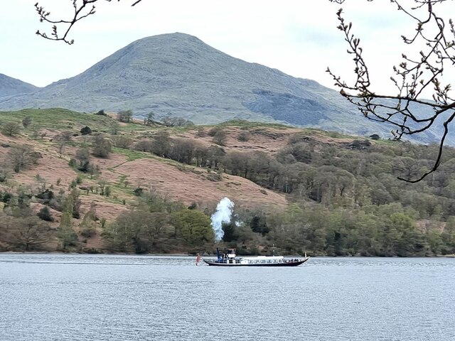
Images are sourced within 2km of 54.340835/-3.0788168 or Grid Reference SD2994. Thanks to Geograph Open Source API. All images are credited.
Harrison Coppice is located at Grid Ref: SD2994 (Lat: 54.340835, Lng: -3.0788168)
Administrative County: Cumbria
District: South Lakeland
Police Authority: Cumbria
What 3 Words
///layers.harmlessly.draining. Near Windermere, Cumbria
Related Wikis

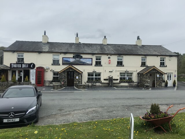
Bowmanstead
Bowmanstead is a village in Cumbria, England. It is situated 1 mile to the south of Coniston and contains a Catholic church and a pub - The Ship Inn, it...

Coniston Water
Coniston Water is a lake in the Lake District in North West England. It is the third largest by volume, after Windermere and Ullswater, and the fifth-largest...

Torver railway station
Torver railway station served the village of Torver, in Lancashire, England (now in Cumbria). It was on the branch line to Coniston. == History == Authorised...

St Luke's Church, Torver
St Luke's Church is in the village of Torver, Cumbria, England. It is an active Anglican parish church in the deanery of Furness, the archdeaconry of...
Nearby Amenities
Located within 500m of 54.340835,-3.0788168Have you been to Harrison Coppice?
Leave your review of Harrison Coppice below (or comments, questions and feedback).