Captain Raven's Wood
Wood, Forest in Somerset Somerset West and Taunton
England
Captain Raven's Wood
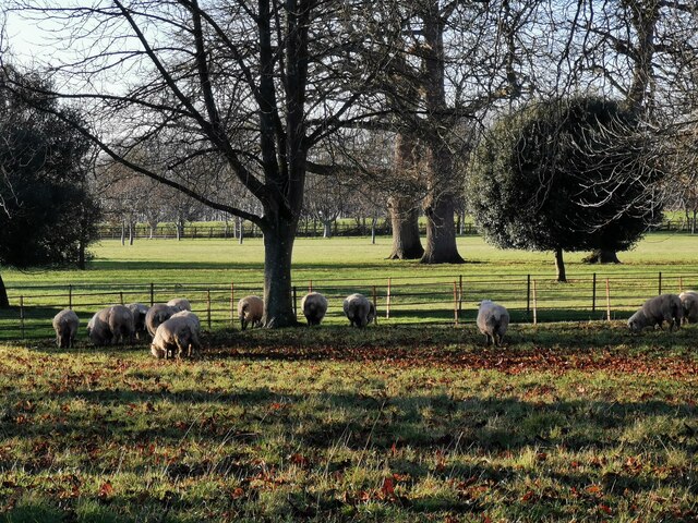
Captain Raven's Wood is a picturesque forest located in Somerset, England. Covering an area of approximately 500 acres, this enchanting woodland is a popular destination for nature lovers and outdoor enthusiasts alike. The forest is known for its diverse range of flora and fauna, making it a haven for wildlife and a delight for birdwatchers.
The wood features a mix of ancient oak trees, towering beeches, and majestic silver birches, creating a serene and tranquil atmosphere. The forest floor is carpeted with a variety of wildflowers, adding a burst of color to the landscape throughout the year.
Traversing the wood, visitors will come across a network of well-maintained walking trails, providing an opportunity to explore its natural beauty. These paths wind through the forest, offering breathtaking views of the surrounding countryside and glimpses of wildlife such as deer, foxes, and a wide array of bird species.
Captain Raven's Wood is also home to a small lake, which adds to its scenic charm. The lake is a perfect spot for fishing enthusiasts, as it is stocked with a variety of fish including trout and perch.
The wood is a popular destination for families, as it offers ample space for picnicking, camping, and outdoor recreational activities. Additionally, there are dedicated picnic areas and campsites available for visitors to enjoy.
With its stunning landscapes, abundant wildlife, and peaceful ambiance, Captain Raven's Wood is truly a gem of Somerset, offering a serene escape from the hustle and bustle of everyday life.
If you have any feedback on the listing, please let us know in the comments section below.
Captain Raven's Wood Images
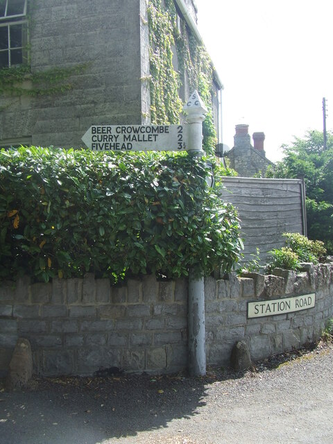
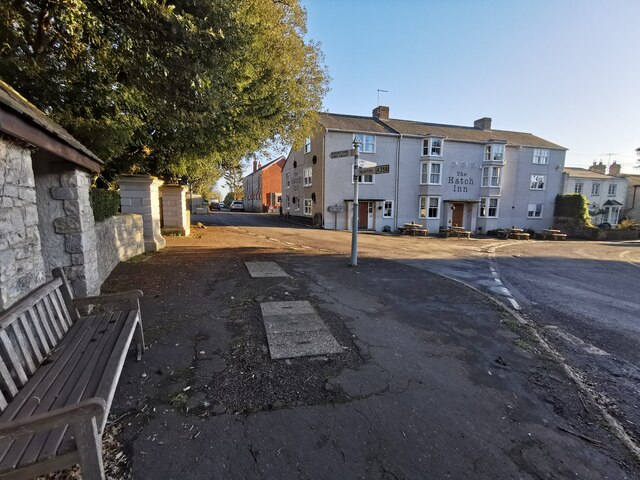
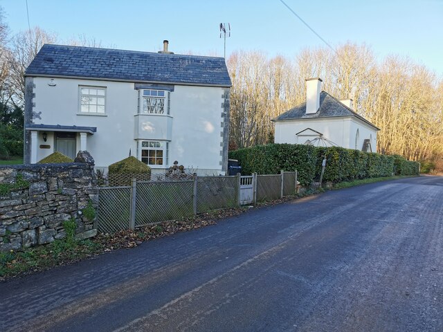
Images are sourced within 2km of 50.981385/-2.9989804 or Grid Reference ST2920. Thanks to Geograph Open Source API. All images are credited.


Captain Raven's Wood is located at Grid Ref: ST2920 (Lat: 50.981385, Lng: -2.9989804)
Administrative County: Somerset
District: Somerset West and Taunton
Police Authority: Avon and Somerset
What 3 Words
///willpower.funded.doghouse. Near Creech St Michael, Somerset
Related Wikis

Hatch Beauchamp
Hatch Beauchamp is a village and civil parish in Somerset, England, situated 5 miles (8.0 km) south east of Taunton. The village has a population of 620...

West Hatch
West Hatch is a hamlet and civil parish in Somerset, England, situated 5 miles (8.0 km) south east of Taunton. It has a population of 306. == History... ==

Taunton Stop Line
The Taunton Stop Line was a World War II defensive line in southwest England. It was designed "to stop an enemy's advance from the west and in particular...

Beercrocombe
Beercrocombe (also known as Beer Crocombe) is a village and civil parish in Somerset, England, 1 mile (1.6 km) south of Curry Mallet and 7 miles (11.3...

Curry Mallet
Curry Mallet (anciently "Cory Mallett") is a village and parish in Somerset, England. It is on the Fivehead River (also known as the River Ile), 7 miles...
Church of St James, Beercrocombe
The Church of St James in Beercrocombe, Somerset, England, dates from the 13th century but the current building is predominantly from the 15th. It was...
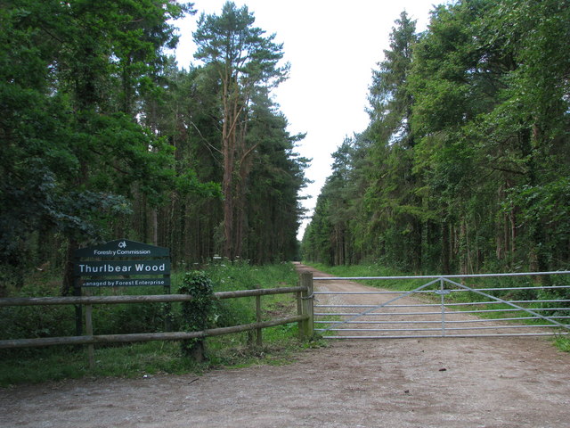
Thurlbear Wood and Quarrylands
Thurlbear Wood and Quarrylands (grid reference ST270210) is a 26.7 hectare (65.8 acre) biological Site of Special Scientific Interest south of Stoke St...

Bickenhall
Bickenhall is a hamlet and parish in Somerset, England, situated 5 miles (8.0 km) south east of Taunton. The parish, which includes the hamlet of Batten...
Nearby Amenities
Located within 500m of 50.981385,-2.9989804Have you been to Captain Raven's Wood?
Leave your review of Captain Raven's Wood below (or comments, questions and feedback).