Little Oakley Plantation
Wood, Forest in Somerset Somerset West and Taunton
England
Little Oakley Plantation
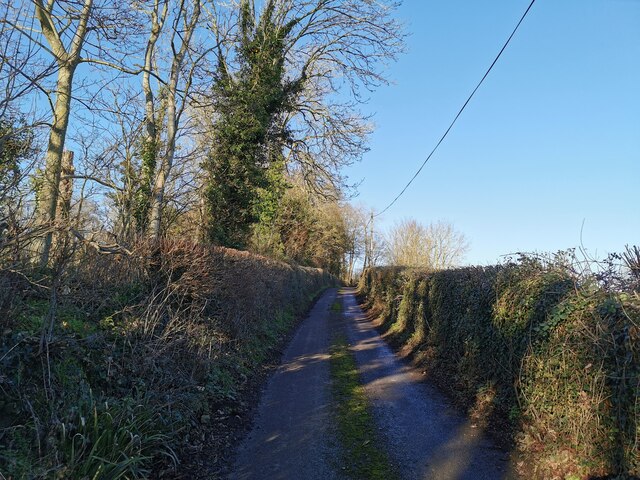
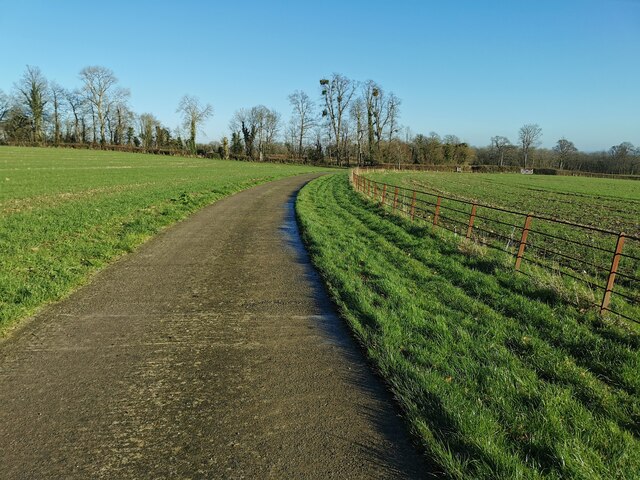
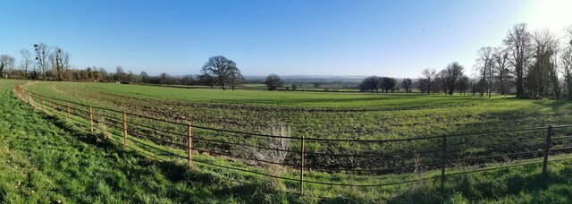
Little Oakley Plantation is a picturesque estate located in Somerset, a charming county in the heart of England. Nestled amidst a dense woodland, it is a haven for nature lovers and history enthusiasts alike. The plantation is situated in the enchanting Little Oakley Forest, which spans over several acres of pristine woodlands.
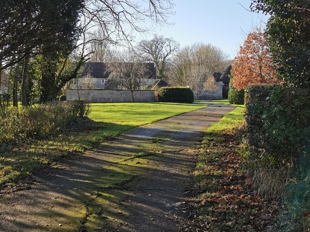
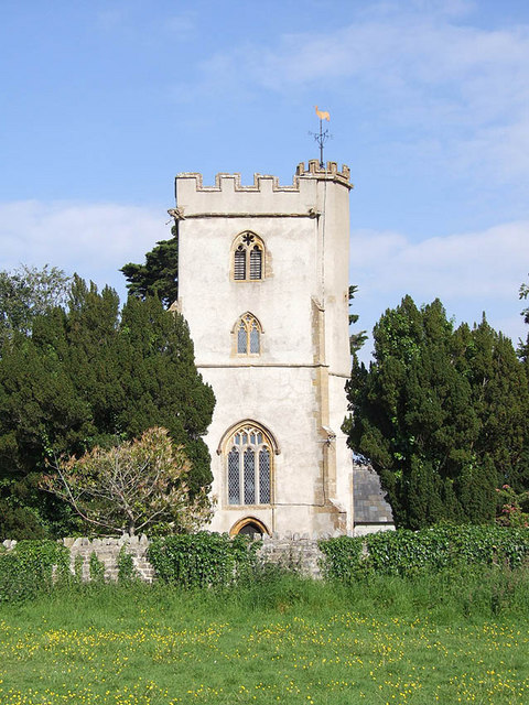
The main attraction of the plantation is the historic manor house, a stunning example of Jacobean architecture. Dating back to the 17th century, the manor stands as a testament to the region's rich history. Its grandeur is evident in the intricate detailing of the exterior facade, adorned with ornate carvings and elegant columns.
Inside the manor, visitors can explore the lavishly decorated rooms, each reflecting a different era in the property's history. From the opulent drawing rooms to the cozy libraries, every corner exudes a sense of timeless elegance. The manor also boasts a beautiful courtyard, complete with well-tended gardens and a tranquil pond.
Little Oakley Plantation offers a range of activities for visitors to enjoy. Walking and hiking trails wind through the surrounding forest, providing an opportunity to immerse oneself in nature's beauty. Guided tours of the manor house are available, allowing visitors to delve into its captivating past and learn about the prominent families that once called it home.
Whether one is seeking a peaceful retreat in nature or a glimpse into England's architectural heritage, Little Oakley Plantation is a destination that offers both. Its idyllic setting, combined with its rich history, make it a must-visit location for anyone exploring Somerset.
If you have any feedback on the listing, please let us know in the comments section below.
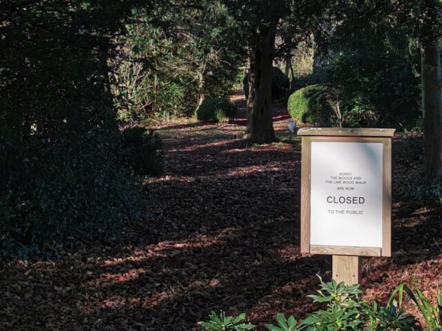
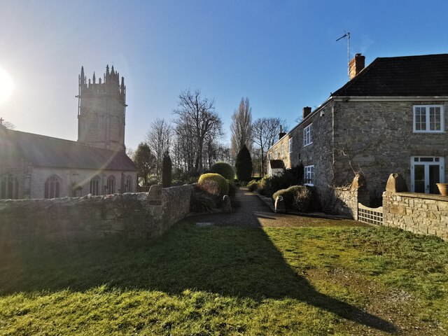
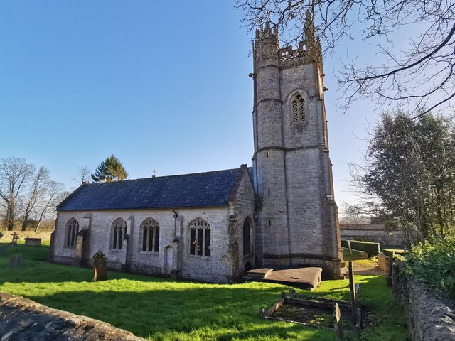
Little Oakley Plantation Images
Images are sourced within 2km of 50.977624/-3.0054521 or Grid Reference ST2920. Thanks to Geograph Open Source API. All images are credited.


Little Oakley Plantation is located at Grid Ref: ST2920 (Lat: 50.977624, Lng: -3.0054521)
Administrative County: Somerset
District: Somerset West and Taunton
Police Authority: Avon and Somerset
What 3 Words
///willpower.ramble.paraded. Near Creech St Michael, Somerset
Related Wikis

Hatch Beauchamp
Hatch Beauchamp is a village and civil parish in Somerset, England, situated 5 miles (8.0 km) south east of Taunton. The village has a population of 620...

West Hatch
West Hatch is a hamlet and civil parish in Somerset, England, situated 5 miles (8.0 km) south east of Taunton. It has a population of 306. == History... ==

Bickenhall
Bickenhall is a hamlet and parish in Somerset, England, situated 5 miles (8.0 km) south east of Taunton. The parish, which includes the hamlet of Batten...

Taunton Stop Line
The Taunton Stop Line was a World War II defensive line in southwest England. It was designed "to stop an enemy's advance from the west and in particular...
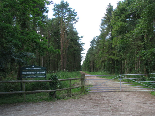
Thurlbear Wood and Quarrylands
Thurlbear Wood and Quarrylands (grid reference ST270210) is a 26.7 hectare (65.8 acre) biological Site of Special Scientific Interest south of Stoke St...

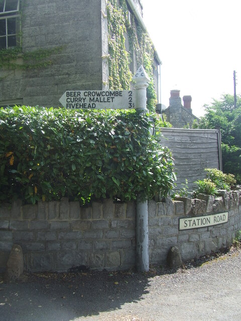
Beercrocombe
Beercrocombe (also known as Beer Crocombe) is a village and civil parish in Somerset, England, 1 mile (1.6 km) south of Curry Mallet and 7 miles (11.3...
Church of St James, Beercrocombe
The Church of St James in Beercrocombe, Somerset, England, dates from the 13th century but the current building is predominantly from the 15th. It was...

Curry Mallet
Curry Mallet (anciently "Cory Mallett") is a village and parish in Somerset, England. It is on the Fivehead River (also known as the River Ile), 7 miles...
Nearby Amenities
Located within 500m of 50.977624,-3.0054521Have you been to Little Oakley Plantation?
Leave your review of Little Oakley Plantation below (or comments, questions and feedback).