Cow Hey Covert
Wood, Forest in Cheshire
England
Cow Hey Covert
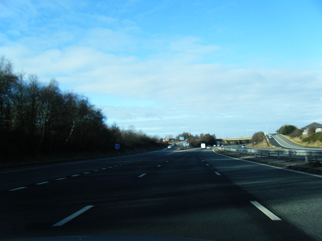
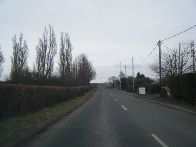
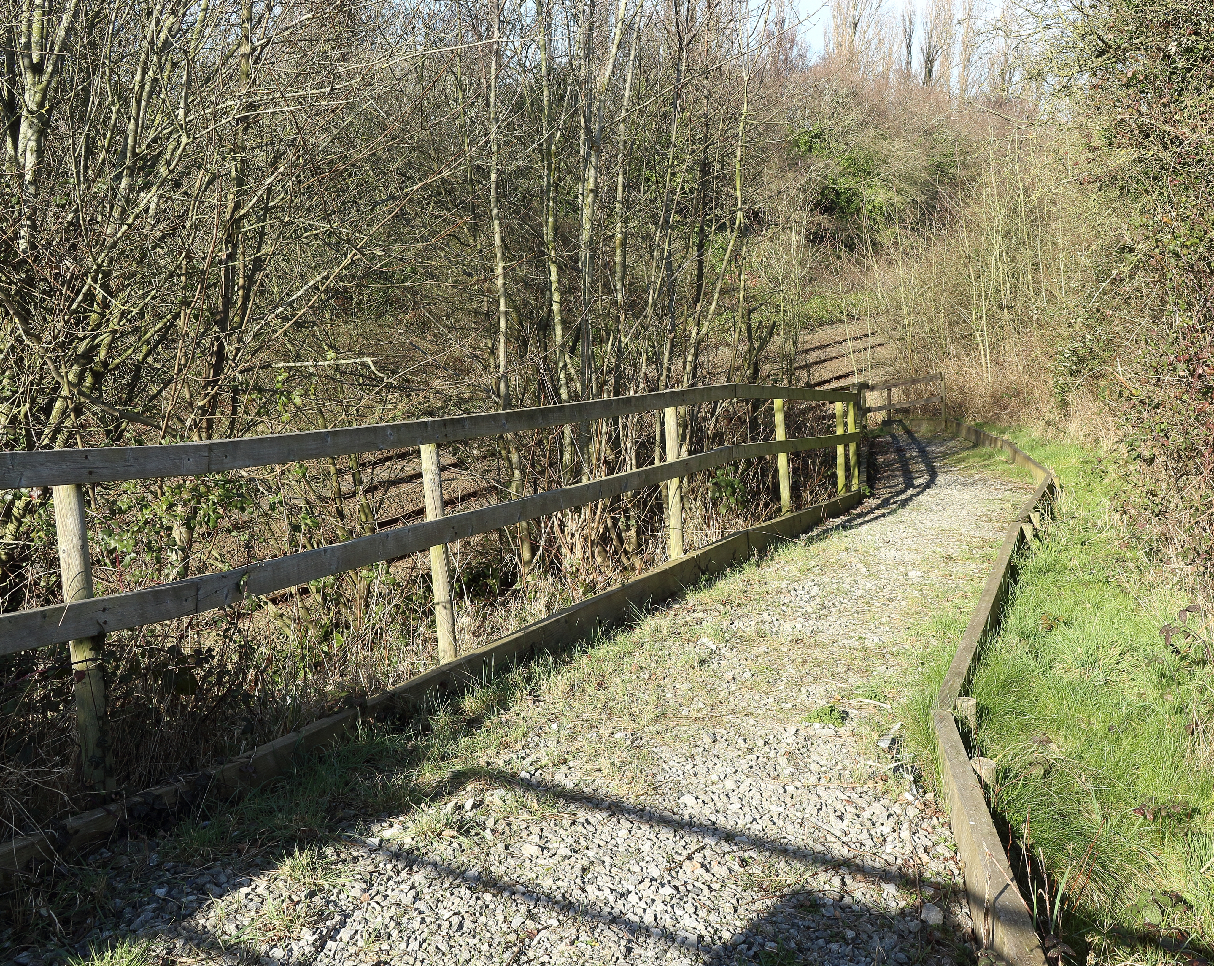
Cow Hey Covert is a small woodland area located in Cheshire, England. Situated in the rural village of Cow Hey, the covert covers an approximate area of 10 acres and is predominantly composed of deciduous trees. It is a part of the wider forested region in the county and is known for its natural beauty and tranquility.
The woodland features a diverse range of tree species, including oak, beech, birch, and ash. The dense foliage provides a dense canopy, creating a shaded and cool environment during the summer months. The forest floor is abundant with a variety of flora, such as bluebells, primroses, and ferns, adding to the overall charm of the area.
Cow Hey Covert is a haven for wildlife and supports a rich and diverse ecosystem. It is home to a wide range of bird species, including woodpeckers, tawny owls, and various songbirds. Small mammals such as rabbits, squirrels, and hedgehogs can also be spotted within the covert.
The woodland is accessible through well-maintained footpaths, making it a popular destination for nature lovers, walkers, and photographers alike. The peaceful ambiance and picturesque surroundings make Cow Hey Covert an ideal place for those seeking solace in nature.
The covert is managed by the local conservation authority, ensuring the preservation of its natural habitat and protection of its resident species. Visitors are encouraged to respect the environment by adhering to the designated paths and regulations put in place to maintain the area's ecological balance.
In summary, Cow Hey Covert in Cheshire is a charming and serene woodland area, offering a delightful escape from the hustle and bustle of everyday life. With its diverse flora and fauna, it provides a haven for wildlife enthusiasts and nature lovers alike.
If you have any feedback on the listing, please let us know in the comments section below.
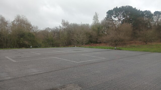
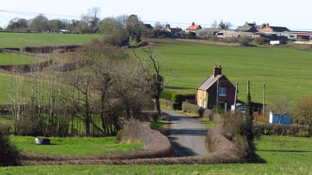
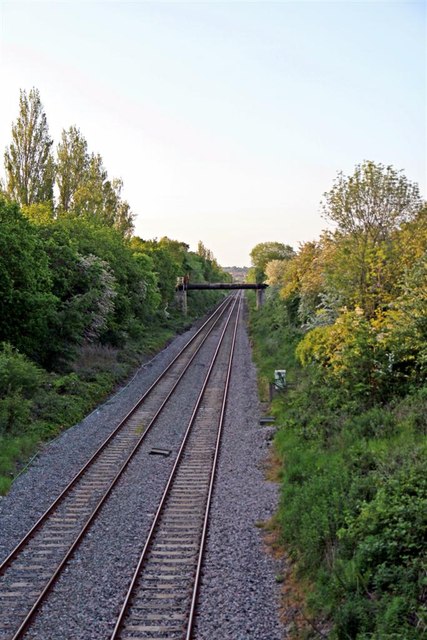
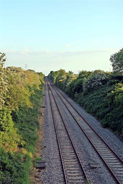
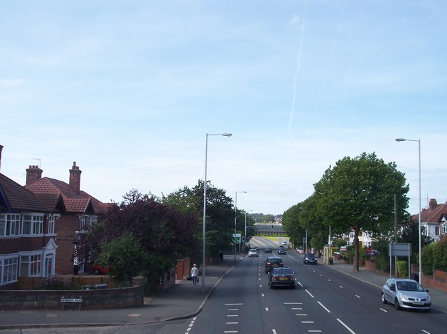
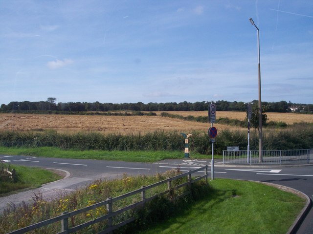
Cow Hey Covert Images
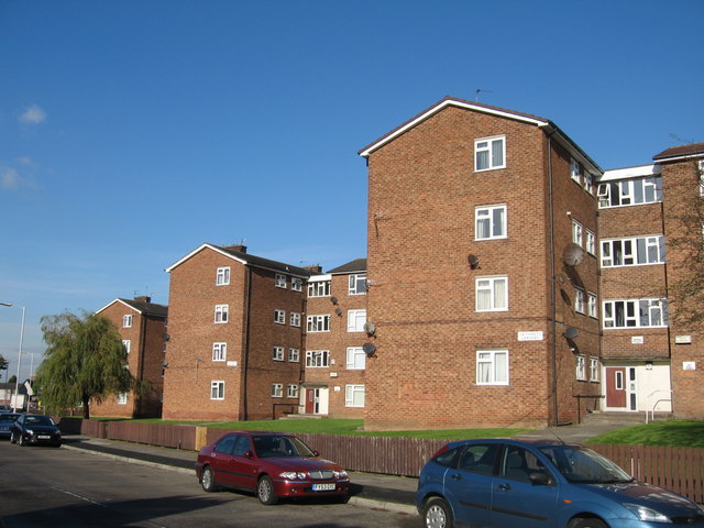
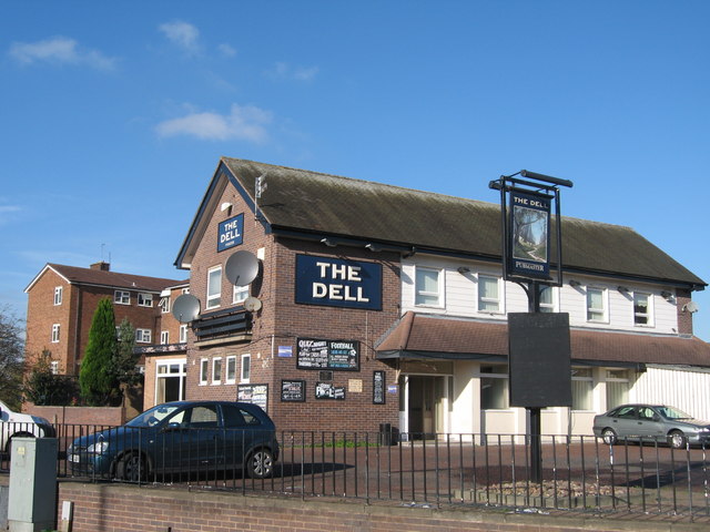
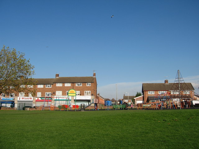
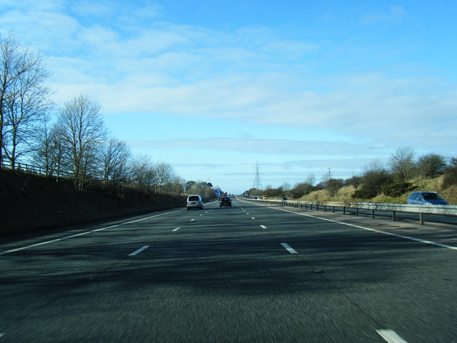
Images are sourced within 2km of 53.357697/-3.056751 or Grid Reference SJ2985. Thanks to Geograph Open Source API. All images are credited.


Cow Hey Covert is located at Grid Ref: SJ2985 (Lat: 53.357697, Lng: -3.056751)
Unitary Authority: Wirral
Police Authority: Merseyside
What 3 Words
///cheese.vague.adjust. Near Prenton, Merseyside
Nearby Locations
Related Wikis

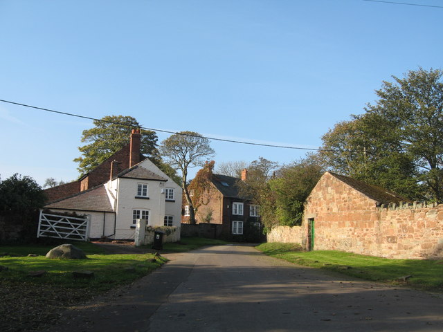
Storeton
Storeton is a small village and former civil parish in the Wirral district, in the county of Merseyside, England, on the Wirral Peninsula. It is west of...

Prenton Brook
Prenton Brook is a tributary of the River Fender, in Wirral, Merseyside. The brook starts as field drainage east of Thingwall and flows through Barnston...
Storeton Hall
Storeton Hall was a country house in the village of Storeton, Wirral, Merseyside, England. It was built in the 14th century for the Stanley family and...
Storeton railway station
Storeton railway station was located on the northern side of Station Road, between Barnston and Storeton, England. == History == Originally named Barnston...

Prenton Golf Club
Prenton Golf Club is a golf club to the south of Prenton, Merseyside, England. Prenton Golf Club was established in 1905 and was designed by the famous...
Landican
Landican () is a hamlet and former civil parish on the outskirts of Birkenhead, in the Metropolitan Borough of Wirral, Merseyside, England. The hamlet...
Wirral Hundred
The Hundred of Wirral is the ancient administrative area for the Wirral Peninsula. Its name is believed to have originated from the Hundred of Wilaveston...
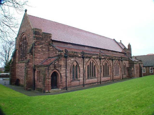
St Stephen's Church, Prenton
St Stephen's Church is in Prenton Lane, Prenton, Birkenhead, Wirral, Merseyside, England. It is an active Anglican parish church in the deanery of Birkenhead...
Nearby Amenities
Located within 500m of 53.357697,-3.056751Have you been to Cow Hey Covert?
Leave your review of Cow Hey Covert below (or comments, questions and feedback).