Burlinch Plantation

Wood, Forest in Somerset Somerset West and Taunton

England

Burlinch Plantation

Ordnance Survey Cut Mark This OS cut mark can be found on the porch of St Giles Church. It marks a point 81.292m above mean sea level.
Ordnance Survey Cut Mark Credit: Adrian Dust

Burlinch Plantation is a picturesque woodland area located in the county of Somerset, England. Covering an expansive area, it is a haven for nature lovers and outdoor enthusiasts. The plantation is nestled within a rolling countryside landscape, boasting a diverse range of trees and wildlife.

The woodland is primarily composed of oak, beech, and ash trees, creating a dense and enchanting forest. The lush greenery provides a tranquil escape from the bustling city life, making it a popular destination for locals and tourists alike. The forest floor is adorned with a vibrant carpet of wildflowers, adding to the area's natural beauty.

Burlinch Plantation is home to a variety of wildlife species, ranging from deer and foxes to a plethora of bird species. Birdwatchers will be delighted by the opportunity to spot rare and migratory birds that frequent the area. The woodland also houses numerous walking trails, allowing visitors to explore the plantation at their own pace and discover hidden treasures along the way.

Additionally, the plantation offers recreational activities such as picnicking, camping, and nature photography. The serene atmosphere and stunning vistas make it an ideal spot for capturing the beauty of nature through the lens.

Overall, Burlinch Plantation in Somerset is a captivating destination for those seeking solace in nature. With its diverse flora and fauna, it provides a true sensory experience, immersing visitors in the tranquility of the forest. Whether it's a leisurely stroll or an adventurous hike, the plantation offers something for everyone to enjoy.

If you have any feedback on the listing, please let us know in the comments section below.

Burlinch Plantation Images

Images are sourced within 2km of 51.059436/-3.0516589 or Grid Reference ST2629. Thanks to Geograph Open Source API. All images are credited.

Ordnance Survey Cut Mark This OS cut mark can be found on the porch of St Giles Church. It marks a point 81.292m above mean sea level.
Ordnance Survey Cut Mark
This OS cut mark can be found on the porch of St Giles Church. It marks a point 81.292m above mean sea level.
Thurloxton : Taunton Road A38 The A38 seen at the road junction.
Thurloxton : Taunton Road A38
The A38 seen at the road junction.
Thurloxton : Knotcroft Lane Looking along a small lane through the village.
Thurloxton : Knotcroft Lane
Looking along a small lane through the village.
Thurloxton : Driveway A small driveway into the nearby homes.
Thurloxton : Driveway
A small driveway into the nearby homes.
Thurloxton : Country Lane A small lane heading to the village.
Thurloxton : Country Lane
A small lane heading to the village.
Thurloxton : Grassy Field A field off Howell's Lane.
Thurloxton : Grassy Field
A field off Howell's Lane.
Thurloxton : Howell's Lane Looking along a small country lane.
Thurloxton : Howell's Lane
Looking along a small country lane.
Thurloxton : St Giles Church Entrance gates into the churchyard.
Thurloxton : St Giles Church
Entrance gates into the churchyard.
Thurloxton : St Giles Church The Norman Anglican Church of St Giles in Thurloxton dates from the 14th century but is predominantly from the 15th century with 19th-century restoration including the addition of the north aisle in 1868.
Thurloxton : St Giles Church
The Norman Anglican Church of St Giles in Thurloxton dates from the 14th century but is predominantly from the 15th century with 19th-century restoration including the addition of the north aisle in 1868.
Thurloxton : St Giles Church The two-stage west tower is supported by diagonal buttresses.
Thurloxton : St Giles Church
The two-stage west tower is supported by diagonal buttresses.
Thurloxton : St Giles Church Looking to the Christmas tree in the church grounds.
Thurloxton : St Giles Church
Looking to the Christmas tree in the church grounds.
Thurloxton : St Giles Church The two-stage west tower is supported by diagonal buttresses. The Norman Anglican Church of St Giles in Thurloxton dates from the 14th century but is predominantly from the 15th century with 19th-century restoration including the addition of the north aisle in 1868.
Thurloxton : St Giles Church
The two-stage west tower is supported by diagonal buttresses. The Norman Anglican Church of St Giles in Thurloxton dates from the 14th century but is predominantly from the 15th century with 19th-century restoration including the addition of the north aisle in 1868.
Thurloxton : St Giles Church The church consists of a two-bay nave which has a south porch and three-bay north aisle, and a two-bay chancel with vestry. The interior includes an octagonal Norman font and 18th century rood screen.
Thurloxton : St Giles Church
The church consists of a two-bay nave which has a south porch and three-bay north aisle, and a two-bay chancel with vestry. The interior includes an octagonal Norman font and 18th century rood screen.
Thurloxton : St Giles Church A window dedicated to Queen Elizabeth II and Prince Philip for the Diamond Jubilee.
Thurloxton : St Giles Church
A window dedicated to Queen Elizabeth II and Prince Philip for the Diamond Jubilee.
Thurloxton : St Giles Church A place for some bell ringing.
Thurloxton : St Giles Church
A place for some bell ringing.
Thurloxton : St Giles Church The church consists of a two-bay nave which has a south porch and three-bay north aisle, and a two-bay chancel with vestry. The interior includes an octagonal Norman font and 18th century rood screen.
Thurloxton : St Giles Church
The church consists of a two-bay nave which has a south porch and three-bay north aisle, and a two-bay chancel with vestry. The interior includes an octagonal Norman font and 18th century rood screen.
Thurloxton : St Giles Church One of the windows of the church.
Thurloxton : St Giles Church
One of the windows of the church.
Show me another place!

Burlinch Plantation is located at Grid Ref: ST2629 (Lat: 51.059436, Lng: -3.0516589)

Administrative County: Somerset

District: Somerset West and Taunton

Police Authority: Avon and Somerset

What 3 Words

///ticket.interviewer.regularly. Near Creech St Michael, Somerset

Related Wikis

Harold Redler

Lieutenant Harold Bolton Redler (27 January 1897 – 21 June 1918) was a British World War I flying ace credited with ten aerial victories. His most notable...
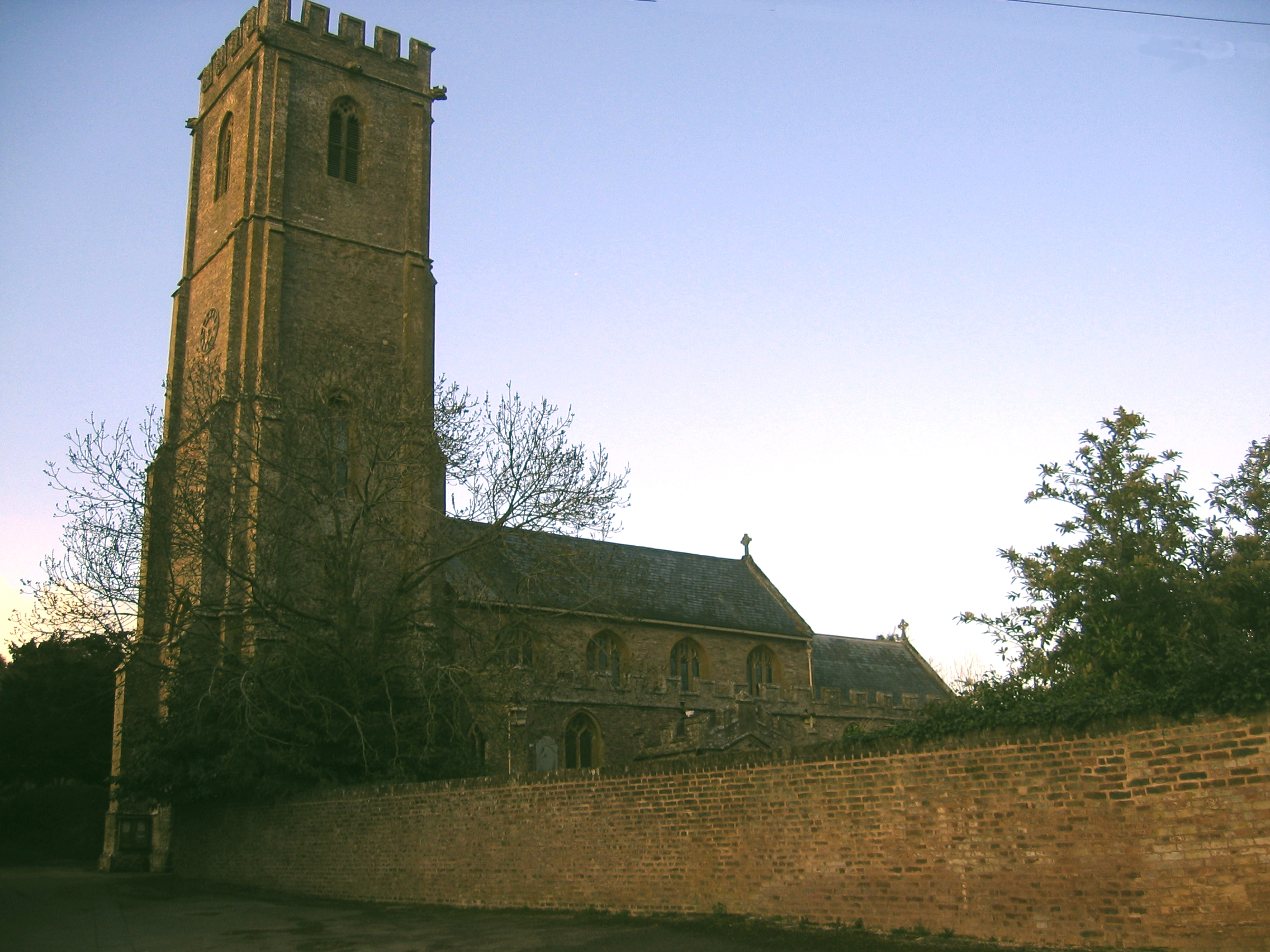
West Monkton

West Monkton is a village and civil parish in Somerset, England, situated 2 miles (3.2 km) north east of Taunton. The parish includes the hamlets of Monkton...

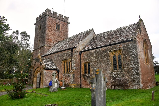
Church of St Giles, Thurloxton

The Norman Anglican Church of St Giles in Thurloxton dates from the 14th century but is predominantly from the 15th century with 19th-century restoration...
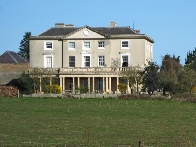
Walford, Somerset

Walford is a small village 3 miles (5 km) north east of Taunton in Somerset, England. Most of the village, including Walford Cross at the junction of...

Have you been to Burlinch Plantation?

Leave your review of Burlinch Plantation below (or comments, questions and feedback).