Coombe Bottom

Settlement in Somerset Somerset West and Taunton

England

Coombe Bottom

Ordnance Survey Cut Mark This OS cut mark can be found on the porch of St Giles Church. It marks a point 81.292m above mean sea level.
Ordnance Survey Cut Mark Credit: Adrian Dust

Coombe Bottom is a picturesque hamlet located in the county of Somerset, England. Situated in the Mendip Hills Area of Outstanding Natural Beauty, it offers breathtaking views of the surrounding countryside and a tranquil escape from the hustle and bustle of city life.

Nestled in a valley, Coombe Bottom is primarily a farming community, with lush green fields and rolling hills dominating the landscape. The hamlet is comprised of a small cluster of traditional stone houses, many of which date back several centuries, adding to the area's charm and character.

One of the notable features of Coombe Bottom is its proximity to the Cheddar Gorge, a world-famous limestone gorge and a popular tourist attraction. Visitors to Coombe Bottom can easily explore the stunning Cheddar Gorge, with its towering cliffs and intricate cave systems, offering opportunities for hiking, rock climbing, and cave exploration.

Nature enthusiasts will be delighted by the abundance of wildlife in the area, including deer, rabbits, and a variety of bird species. Coombe Bottom is also home to several nature reserves, providing a haven for native flora and fauna.

Despite its rural location, Coombe Bottom benefits from good transport links, with nearby road connections providing easy access to the nearby town of Cheddar, as well as other major Somerset destinations.

Overall, Coombe Bottom offers a peaceful and idyllic setting for those seeking a rural retreat, with its natural beauty, historic charm, and convenient location making it a desirable place to live or visit.

If you have any feedback on the listing, please let us know in the comments section below.

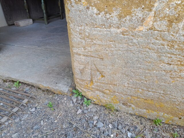
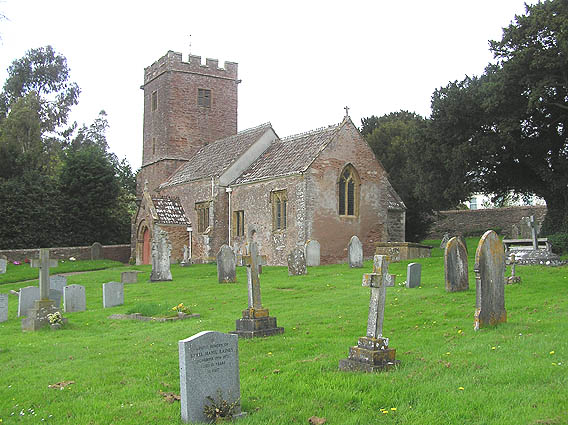
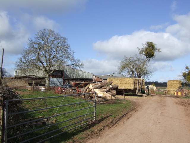
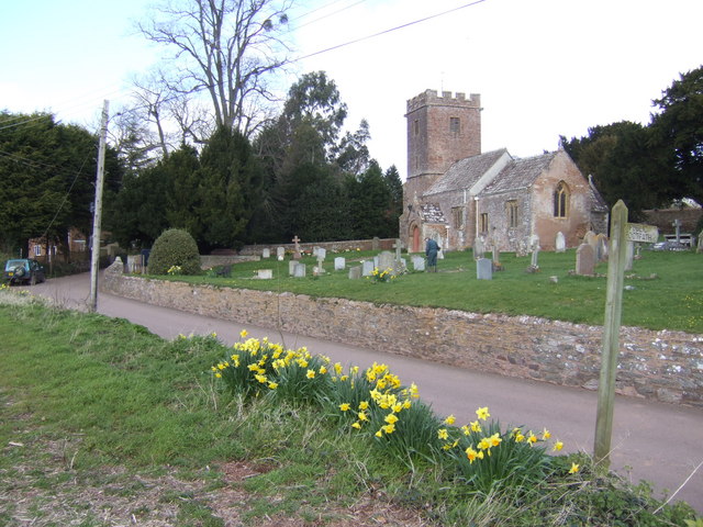
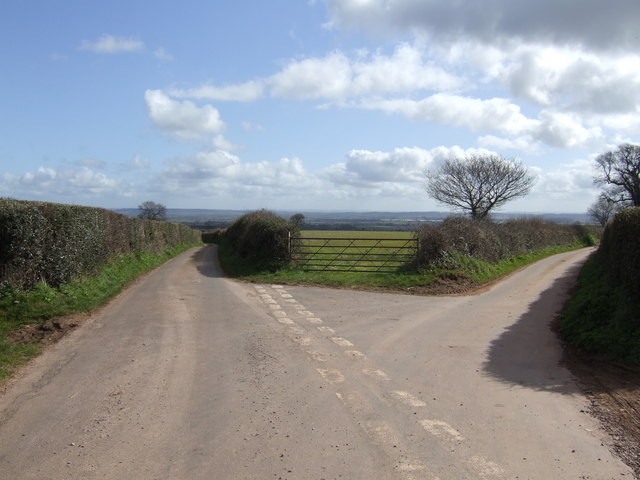
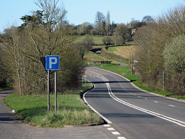
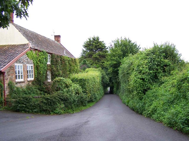
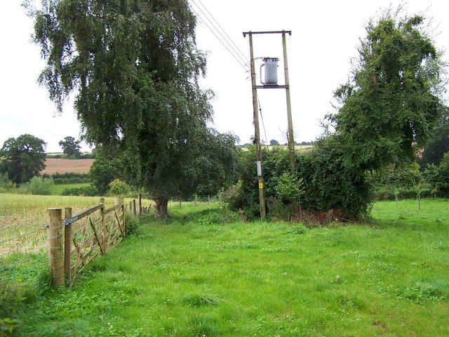
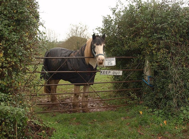
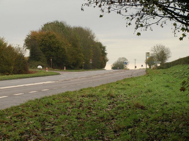
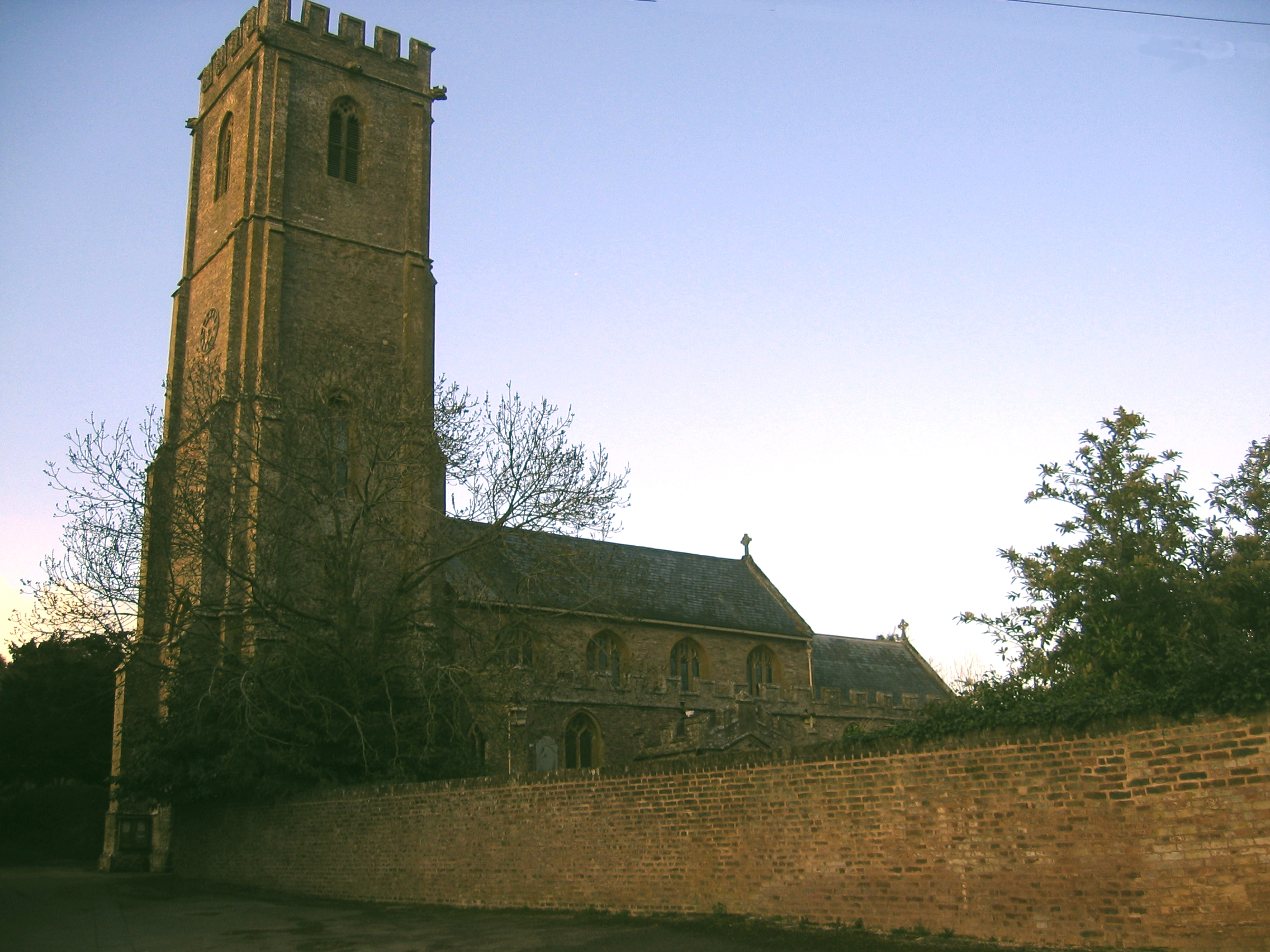
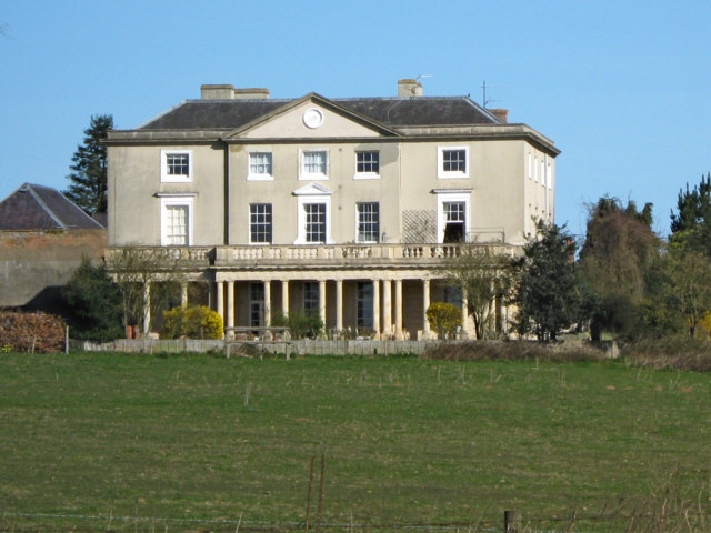
Coombe Bottom Images

Images are sourced within 2km of 51.059526/-3.0446546 or Grid Reference ST2629. Thanks to Geograph Open Source API. All images are credited.

Ordnance Survey Cut Mark This OS cut mark can be found on the porch of St Giles Church. It marks a point 81.292m above mean sea level.
Ordnance Survey Cut Mark
This OS cut mark can be found on the porch of St Giles Church. It marks a point 81.292m above mean sea level.
St. Giles church, Thurloxton Looking NW from the corner of the churchyard
St. Giles church, Thurloxton
Looking NW from the corner of the churchyard
The National Grid and two cows The pylons are crossing the southern end of the Quantock Hills.
The National Grid and two cows
The pylons are crossing the southern end of the Quantock Hills.
Black Barn With incumbants who must be wondering if the grass is long enough now to let them out!
Black Barn
With incumbants who must be wondering if the grass is long enough now to let them out!
Farm-workers' cottages As this pair might originally have been - or may even still be! By the lane just north of Haddon Farm.
Farm-workers' cottages
As this pair might originally have been - or may even still be! By the lane just north of Haddon Farm.
Chapel Hill Farm, Shearston A very large lump of mistletoe in the fruit tree.
Chapel Hill Farm, Shearston
A very large lump of mistletoe in the fruit tree.
St. Giles' Thurloxton A pretty setting for this village church. A man is strimming between the gravestones.
St. Giles' Thurloxton
A pretty setting for this village church. A man is strimming between the gravestones.
Lane to Clavelshay The road degrades to a track over the next rise.
Lane to Clavelshay
The road degrades to a track over the next rise.
Somerset view Fertile pastures around Farringdon on the eastern slopes of the Quantock Hills.
In the far distance is the Mendip plateau.
Somerset view
Fertile pastures around Farringdon on the eastern slopes of the Quantock Hills. In the far distance is the Mendip plateau.
One pylon and Wood Close Copse
Two Pylons and Eleven Acre Copse This gridsquare is crossed by three lines of pylons taking power from Hinkley Point Power Station to the west country.
Two Pylons and Eleven Acre Copse
This gridsquare is crossed by three lines of pylons taking power from Hinkley Point Power Station to the west country.
Left or right Take your pick - left is Boez Lane to Thurloxton and right is Whiteleaze Lane to Adsborough.
Left or right
Take your pick - left is Boez Lane to Thurloxton and right is Whiteleaze Lane to Adsborough.
Lay by on the A38 Near Thurloxton
Lay by on the A38
Near Thurloxton
Lane Signed To Taunton, Thurloxton
Footpath From Thurloxton Church
Gate in use, Thurloxton This gate on Knotcroft Lane in Thurloxton certainly is in use.
Gate in use, Thurloxton
This gate on Knotcroft Lane in Thurloxton certainly is in use.
Muddy field entrance, Boez Lane The lane is on a ridge between two wooded valleys, and this view is towards the southern of the two, which leads down to Combe Bottom.
Muddy field entrance, Boez Lane
The lane is on a ridge between two wooded valleys, and this view is towards the southern of the two, which leads down to Combe Bottom.
Junction on the A38 Just up the hill from <a href="https://www.geograph.org.uk/photo/1586787">ST2729 : Junction on the A38</a>, with Knotcroft Lane turning off to the left for Thurloxton. Taken from the northern end of the layby shown in <a href="https://www.geograph.org.uk/photo/1218086">ST2830 : Lay by on the A38</a>, with the main road readjusting to the original course of the C18 turnpike.
Junction on the A38
Just up the hill from ST2729 : Junction on the A38, with Knotcroft Lane turning off to the left for Thurloxton. Taken from the northern end of the layby shown in ST2830 : Lay by on the A38, with the main road readjusting to the original course of the C18 turnpike.
Show me another place!

Coombe Bottom is located at Grid Ref: ST2629 (Lat: 51.059526, Lng: -3.0446546)

Administrative County: Somerset

District: Somerset West and Taunton

Police Authority: Avon and Somerset

What 3 Words

///usage.loafing.proves. Near Creech St Michael, Somerset

Related Wikis

West Monkton

West Monkton is a village and civil parish in Somerset, England, situated 2 miles (3.2 km) north east of Taunton. The parish includes the hamlets of Monkton...

Harold Redler

Lieutenant Harold Bolton Redler (27 January 1897 – 21 June 1918) was a British World War I flying ace credited with ten aerial victories. His most notable...

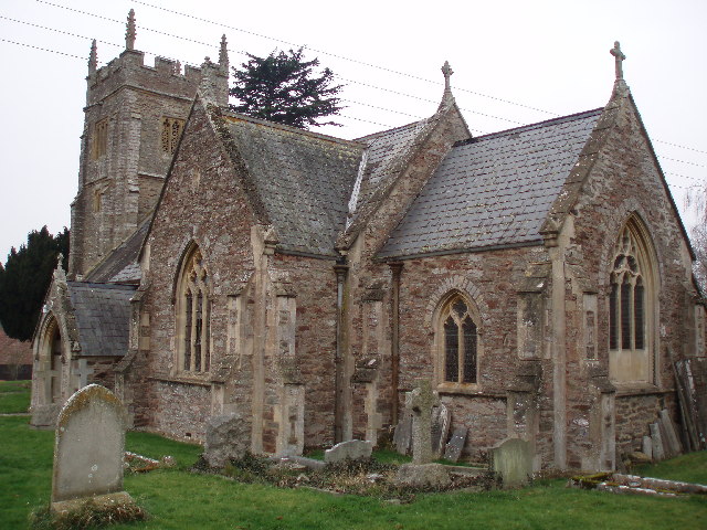
Church of St Giles, Thurloxton

The Norman Anglican Church of St Giles in Thurloxton dates from the 14th century but is predominantly from the 15th century with 19th-century restoration...

Thurloxton

Thurloxton is a village and civil parish 5 miles (8 km) north-east of Taunton, and 5 miles south-west of Bridgwater on the south-eastern slopes of the...

Walford, Somerset

Walford is a small village 3 miles (5 km) north east of Taunton in Somerset, England. Most of the village, including Walford Cross at the junction of...

Buckland Priory

Buckland Priory (also known as Minchin Buckland Preceptory or Buckland Sororum (Latin: "Buckland of the Sisters")) was established around 1167 in Lower...

Durston

Durston is a village and civil parish in Somerset, England, situated on the A361 road 5 miles (8.0 km) north east of Taunton and 6 miles (9.7 km) south...
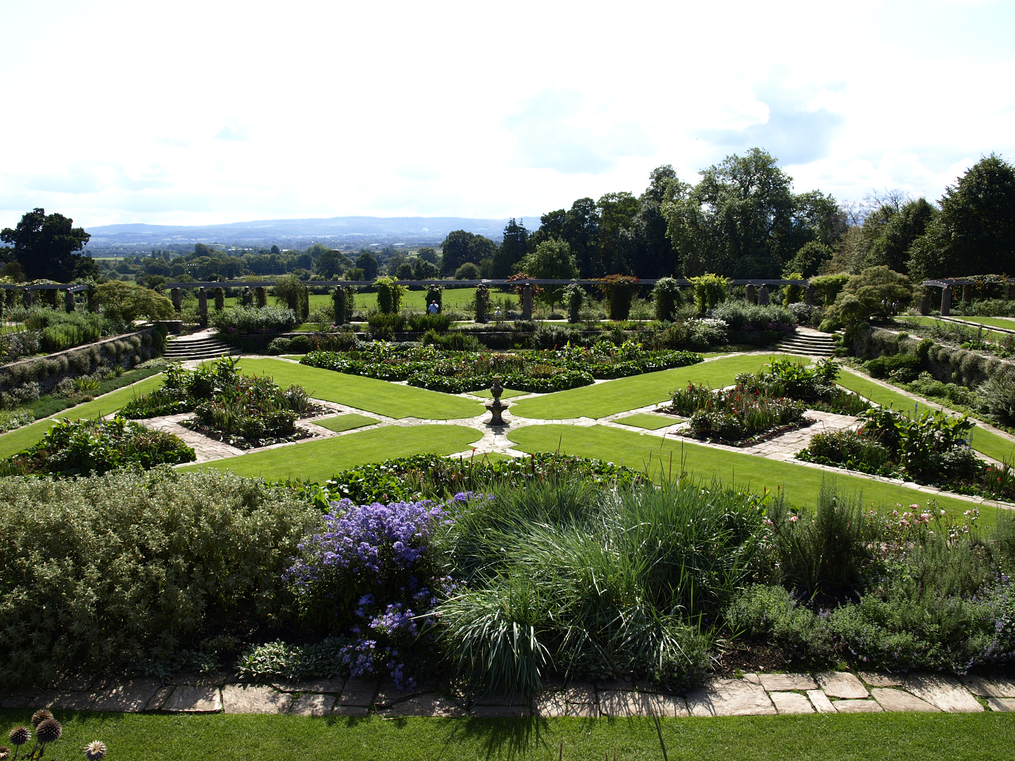
Hestercombe Gardens

Hestercombe Gardens is a garden complex situated on the grounds of Hestercombe House in the southwestern English county of Somerset. The entire garden...

Nearby Amenities

Located within 500m of 51.059526,-3.0446546
Coombe
Place: hamlet
Lat/Long: 51.0560032/-3.0416497
Coombe Bottom
Place: hamlet
Lat/Long: 51.0573594/-3.0420725
The data included in this document is from www.openstreetmap.org. The data is made available under ODbL.

Have you been to Coombe Bottom?

Leave your review of Coombe Bottom below (or comments, questions and feedback).