Paull's Copse

Wood, Forest in Somerset South Somerset

England

Paull's Copse

Old Milestone by road, Dommett Moor, Northeast of Buckland St Mary The Milestone is located beside road under trees on the East of the road.  Parish of Buckland St Mary (South Somerset District). Carved stone post, Chard limestone post design, erected by the Chard turnpike trust in the 19th Century, becoming unreadable. 

Lost since 2002 when surveyed.

Inscription reads:-   
CHARD / 5 / TAUNTON / 8  

Grade II listed. List Entry Number: 1039992 <span class="nowrap"><a title="https://historicengland.org.uk/listing/the-list/list-entry/1039992" rel="nofollow ugc noopener" href="https://historicengland.org.uk/listing/the-list/list-entry/1039992">Link</a><img style="margin-left:2px;" alt="External link" title="External link - shift click to open in new window" src="https://s1.geograph.org.uk/img/external.png" width="10" height="10"/></span> 

Milestone Society National ID: SO_TACH08
Old Milestone by road, Dommett Moor, Northeast of Buckland St Mary Credit: JR Dowding

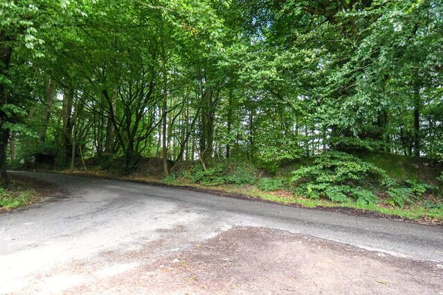
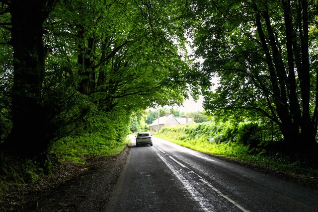
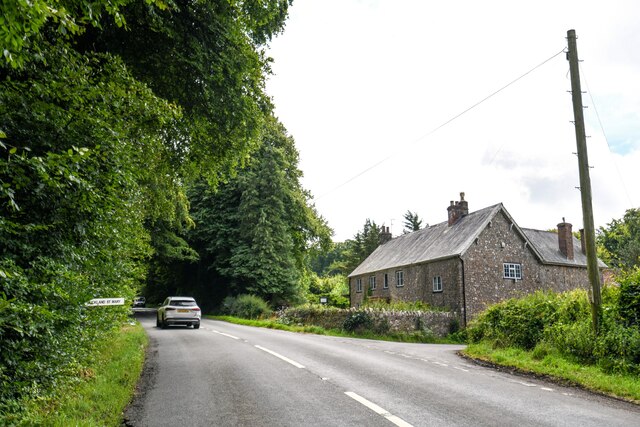
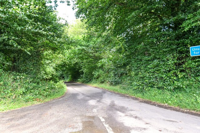
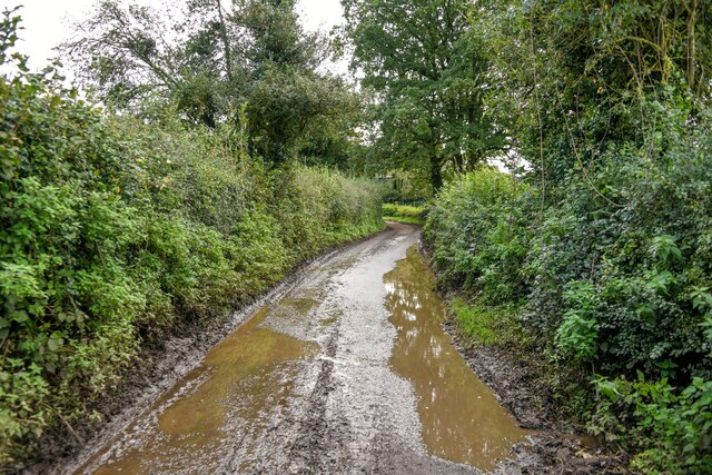
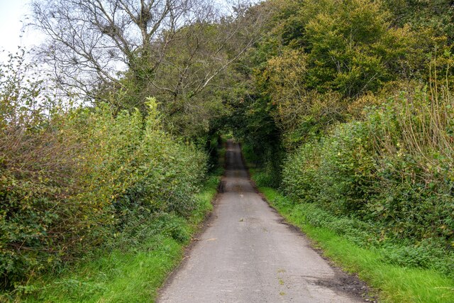
Paull's Copse is a beautiful woodland located in Somerset, England. Covering an area of approximately 50 acres, it is a popular destination for nature lovers and outdoor enthusiasts. The copse is situated in a rural area, surrounded by picturesque countryside, and is easily accessible by car or foot.

The woodland is predominantly made up of oak and ash trees, creating a dense and diverse forest ecosystem. The trees provide a stunning canopy, offering shade and shelter to a variety of flora and fauna. The forest floor is carpeted with a rich layer of moss and wildflowers, adding to the enchanting atmosphere of the copse.

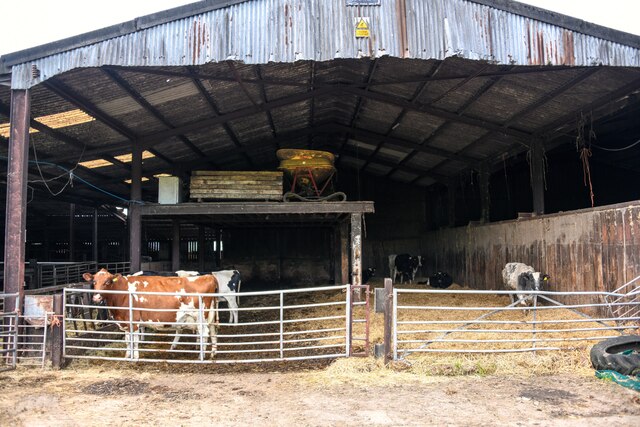
Paull's Copse is home to a wide range of wildlife, making it an ideal spot for birdwatching and nature photography. Visitors can expect to spot species such as woodpeckers, owls, and various songbirds. Small mammals like squirrels and badgers can also be seen going about their daily routines.

There are several walking trails that wind through the copse, offering visitors the opportunity to explore its natural beauty. These trails vary in length and difficulty, catering to both casual strollers and more experienced hikers. Along the way, there are benches and picnic areas where visitors can rest and enjoy the tranquility of the surroundings.

Paull's Copse is a true hidden gem in Somerset, offering a peaceful retreat from the hustle and bustle of everyday life. Whether you're a nature enthusiast or simply seeking a place to unwind, this woodland is a must-visit destination.

If you have any feedback on the listing, please let us know in the comments section below.

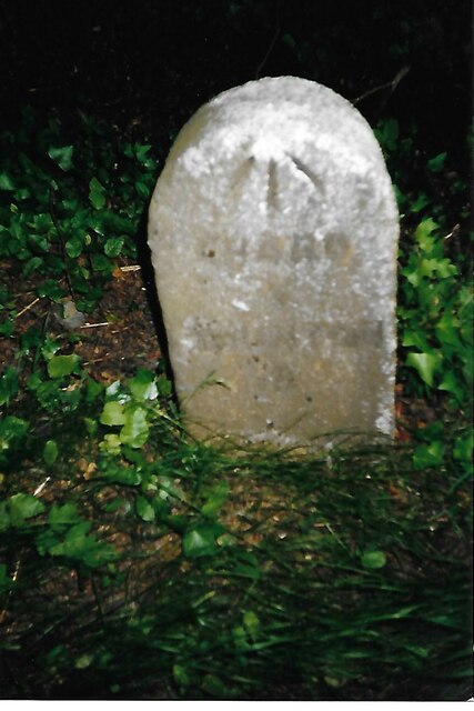
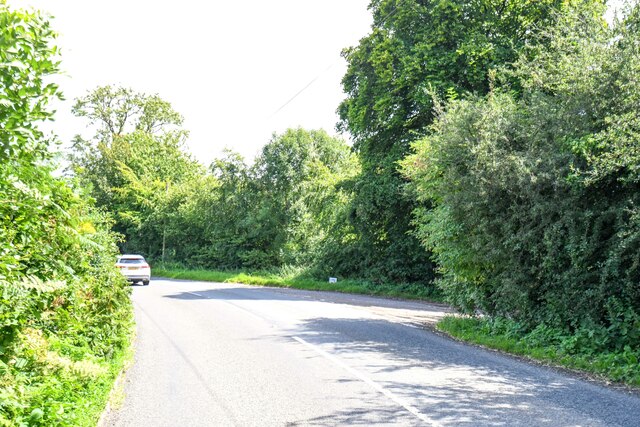
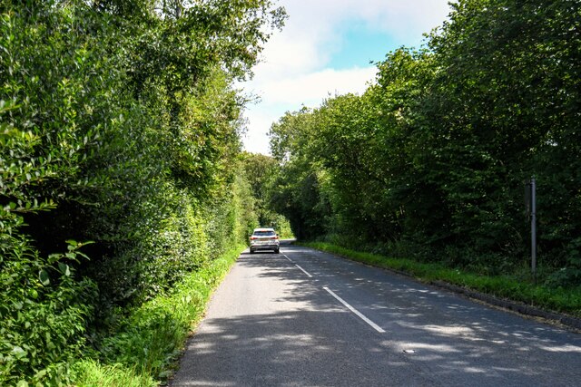
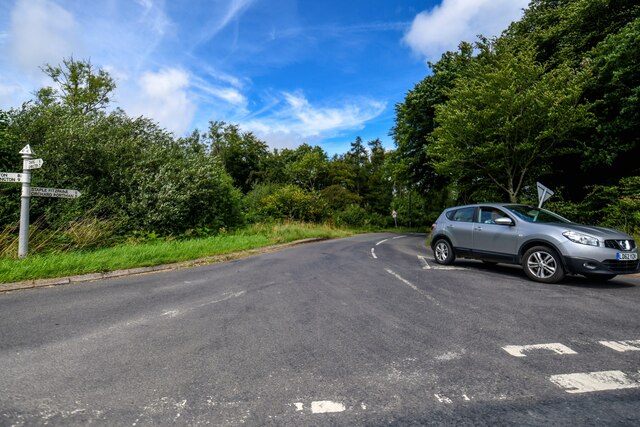
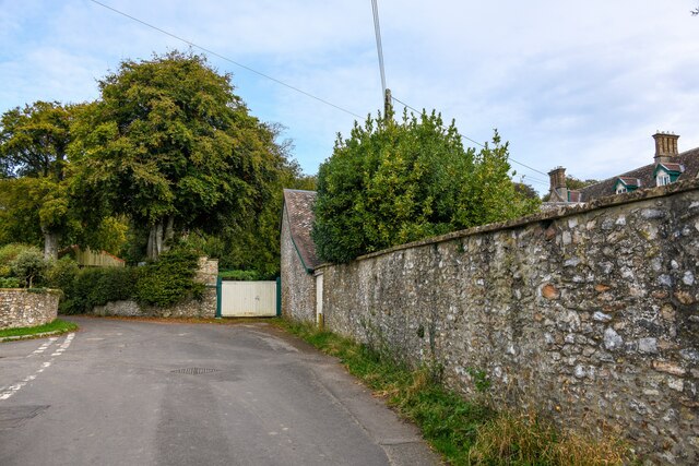
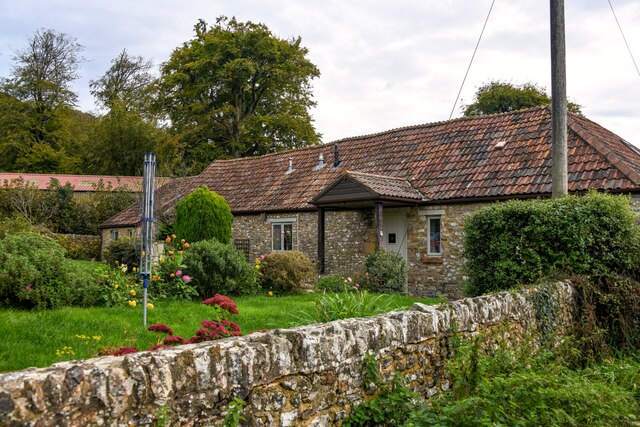
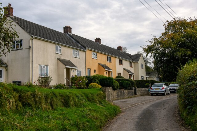
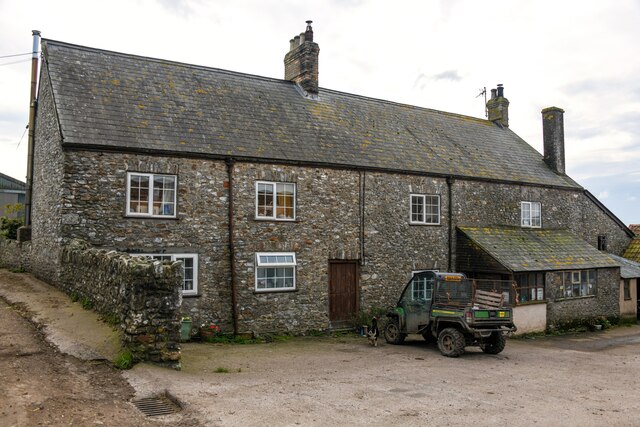
Paull's Copse Images

Images are sourced within 2km of 50.920786/-3.0520006 or Grid Reference ST2614. Thanks to Geograph Open Source API. All images are credited.

Old Milestone by road, Dommett Moor, Northeast of Buckland St Mary The Milestone is located beside road under trees on the East of the road.  Parish of Buckland St Mary (South Somerset District). Carved stone post, Chard limestone post design, erected by the Chard turnpike trust in the 19th Century, becoming unreadable. 

Lost since 2002 when surveyed.

Inscription reads:-   
CHARD / 5 / TAUNTON / 8  

Grade II listed. List Entry Number: 1039992 <span class="nowrap"><a title="https://historicengland.org.uk/listing/the-list/list-entry/1039992" rel="nofollow ugc noopener" href="https://historicengland.org.uk/listing/the-list/list-entry/1039992">Link</a><img style="margin-left:2px;" alt="External link" title="External link - shift click to open in new window" src="https://s1.geograph.org.uk/img/external.png" width="10" height="10"/></span> 

Milestone Society National ID: SO_TACH08
Old Milestone by road, Dommett Moor, Northeast of Buckland St Mary
The Milestone is located beside road under trees on the East of the road.  Parish of Buckland St Mary (South Somerset District). Carved stone post, Chard limestone post design, erected by the Chard turnpike trust in the 19th Century, becoming unreadable.  Lost since 2002 when surveyed. Inscription reads:- CHARD / 5 / TAUNTON / 8 Grade II listed. List Entry Number: 1039992 LinkExternal link Milestone Society National ID: SO_TACH08
Staple Fitpaine : Castlemain Looking along the road.
Staple Fitpaine : Castlemain
Looking along the road.
Staple Fitpaine : Castlemain Looking along Castlemain.
Staple Fitpaine : Castlemain
Looking along Castlemain.
Curland : Road A road off Castlemain.
Curland : Road
A road off Castlemain.
Buckland St Mary : Road A road off Castlemain.
Buckland St Mary : Road
A road off Castlemain.
Buckland St Mary : Castlemain Looking along Castlemain.
Buckland St Mary : Castlemain
Looking along Castlemain.
Buckland St Mary : Castlemain Looking along Castlemain passing The Coach House.
Buckland St Mary : Castlemain
Looking along Castlemain passing The Coach House.
Buckland St Mary : Folly Lane Folly Lane off Castlemain.
Buckland St Mary : Folly Lane
Folly Lane off Castlemain.
Buckland St Mary : Fairend Lane Looking along a road through the village.
Buckland St Mary : Fairend Lane
Looking along a road through the village.
Buckland St Mary : Hillcrest Barn Hillcrest Barn in Buckland St Mary.
Buckland St Mary : Hillcrest Barn
Hillcrest Barn in Buckland St Mary.
Buckland St Mary : Pound Lane Looking along Pound Lane with dwellings alongside it.
Buckland St Mary : Pound Lane
Looking along Pound Lane with dwellings alongside it.
Buckland St Mary : Pound Lane Passing Pound Farm.
Buckland St Mary : Pound Lane
Passing Pound Farm.
Buckland St Mary : Pound Farm Looking towards the farmhouse from Pound Lane.
Buckland St Mary : Pound Farm
Looking towards the farmhouse from Pound Lane.
Buckland St Mary : Pound Farm Looking into one of the cattle barns.
Buckland St Mary : Pound Farm
Looking into one of the cattle barns.
Buckland St Mary : Pound Lane Passing Pound Farm.
Buckland St Mary : Pound Lane
Passing Pound Farm.
Buckland St Mary : Pound Farm Farm buildings off Pound Lane.
Buckland St Mary : Pound Farm
Farm buildings off Pound Lane.
Buckland St Mary : Pound Lane Looking along a wet looking Pound Lane.
Buckland St Mary : Pound Lane
Looking along a wet looking Pound Lane.
Buckland St Mary : Pound Lane Looking along Pound Lane.
Buckland St Mary : Pound Lane
Looking along Pound Lane.
Show me another place!

Paull's Copse is located at Grid Ref: ST2614 (Lat: 50.920786, Lng: -3.0520006)

Administrative County: Somerset

District: South Somerset

Police Authority: Avon and Somerset

What 3 Words

///squashes.longer.option. Near Chard, Somerset

Related Wikis

Buckland St Mary

Buckland St Mary is a village and parish in Somerset, England, situated 6 miles (9.7 km) to the west of Ilminster and 8 miles (12.9 km) south of Taunton...

Church of St Mary, Buckland St Mary

The Anglican Church of St Mary in Buckland St Mary, Somerset, England was built in 1853-1863. It is a Grade II* listed building. == History == The church...

Bishopswood Meadows

Bishopswood Meadows is a nature reserve situated within the Blackdown Hills Area of Outstanding Natural Beauty in the county of Somerset, England. The...

Long Lye

Long Lye (grid reference ST265122) is an 11.7 hectare (29.0 acre) biological Site of Special Scientific Interest at Buckland St Mary in the Blackdown Hills...

Castle Neroche

Castle Neroche is a Norman motte-and-bailey castle on the site of an earlier hill fort in the parish of Curland, near Staple Fitzpaine, Somerset, England...

Long Lye Meadow

Long Lye Meadow (grid reference ST267119) is a 3.3 hectare biological Site of Special Scientific Interest at Buckland St Mary in the Blackdown Hills, Somerset...

Freshmoor

Freshmoor (grid reference ST280125) is an 11.2 hectare (27.7 acre) biological Site of Special Scientific Interest in Somerset, notified in 1989. Freshmoor...

Ruttersleigh

Ruttersleigh (grid reference ST250165) is a 97 hectares (240 acres) biological Site of Special Scientific Interest between Buckland St Mary and Staple...

Related Videos

Vanlife - First Trip

During this trip we found a name for our home. Our Iveco Daily, We shall call her Poison Ivy. Anyway, as you join us today we are ...

Penzance to Somerset

Taking Margot out to a Pub Carpark in Somerset!

Arrival at Ilminster Caravan and Motorhome Club Campsite

This video will guide you from the M5 motorway south to the Ilminster Caravan and Motorhome Club Campsite. We visited ...

Nearby Amenities

Located within 500m of 50.920786,-3.0520006
Power: pole
Source: bing
Lat/Long: 50.9214217/-3.0589467
Power: pole
Source: bing
Lat/Long: 50.9206574/-3.0588408
Power: pole
Source: bing
Lat/Long: 50.9200681/-3.0587509
The data included in this document is from www.openstreetmap.org. The data is made available under ODbL.

Have you been to Paull's Copse?

Leave your review of Paull's Copse below (or comments, questions and feedback).