Wheatlands Coppice
Wood, Forest in Somerset South Somerset
England
Wheatlands Coppice
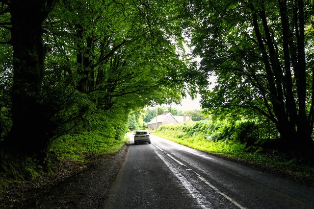
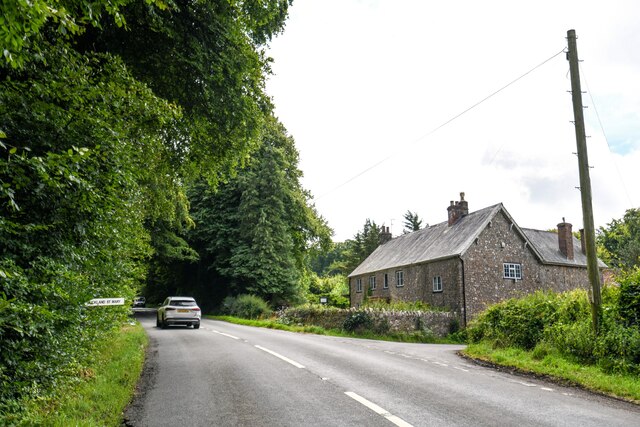
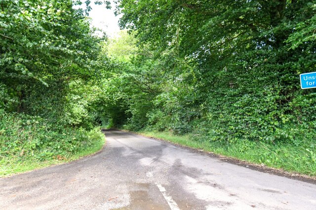
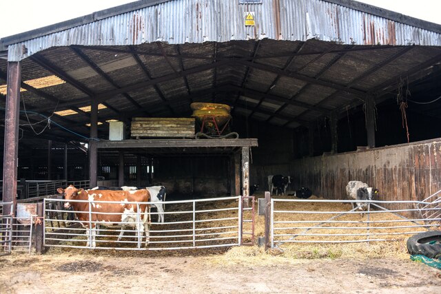
Wheatlands Coppice is a picturesque woodland located in Somerset, England. Covering an area of approximately 50 acres, it is a haven for nature enthusiasts and a popular destination for outdoor activities. The coppice is situated in a rural setting, surrounded by rolling hills and fields, creating a tranquil environment for visitors to enjoy.
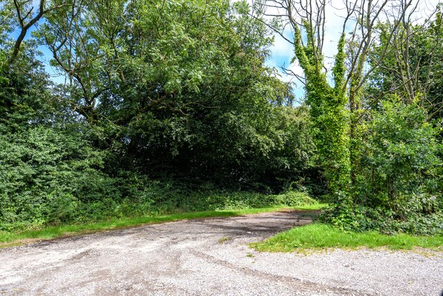
The woodland is predominantly composed of deciduous trees, including oak, beech, and ash, which provide a rich tapestry of colors throughout the year. These trees also attract a diverse range of wildlife, making Wheatlands Coppice an ideal spot for bird watching and wildlife observation. Visitors may spot various species of birds, such as woodpeckers, jays, and owls, as well as mammals like deer, foxes, and badgers.
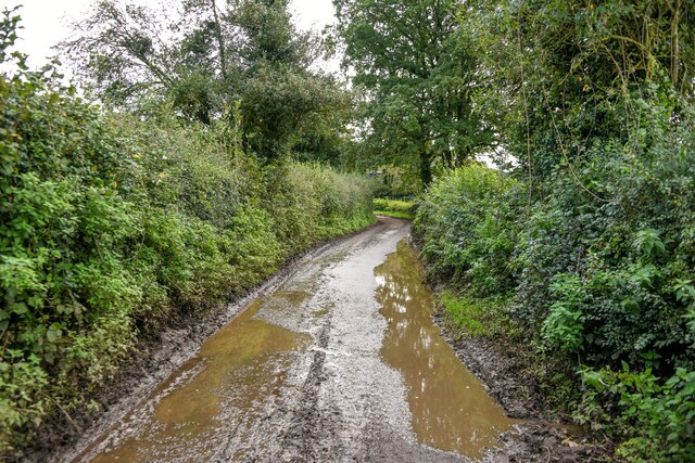
There are several well-marked trails within the coppice, allowing visitors to explore the woodlands at their own pace. These trails wind through the trees, offering scenic views and opportunities to discover hidden glades and meandering streams. The woodlands are also home to a variety of wildflowers and plant species, creating a vibrant and colorful landscape during the spring and summer months.
Wheatlands Coppice is managed by a local conservation organization, which ensures the preservation of the woodland's natural beauty and biodiversity. The organization also organizes educational programs and guided tours, providing visitors with an opportunity to learn about the importance of woodland conservation and the delicate balance of ecosystems.
Overall, Wheatlands Coppice is a serene and enchanting woodland, offering a peaceful retreat for nature lovers and a chance to connect with the beauty of the Somerset countryside.
If you have any feedback on the listing, please let us know in the comments section below.
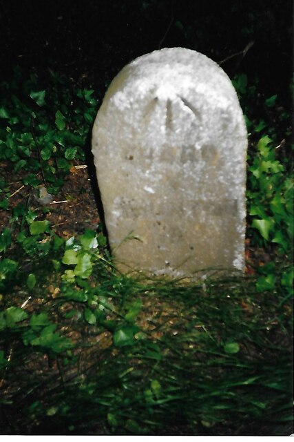
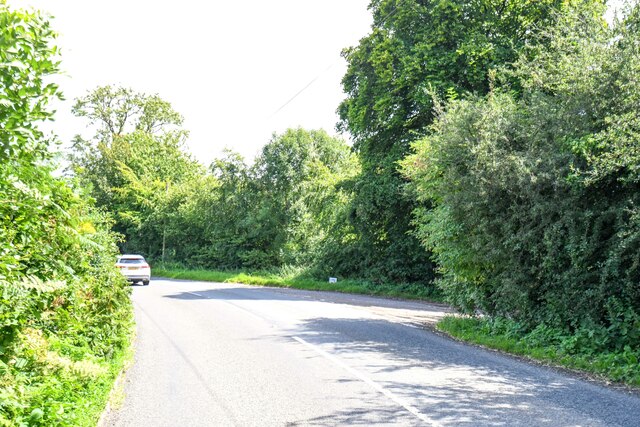
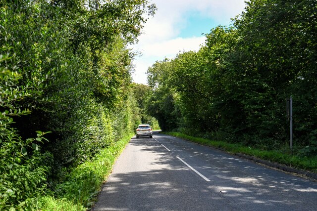
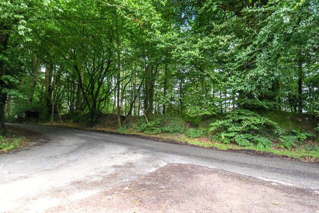
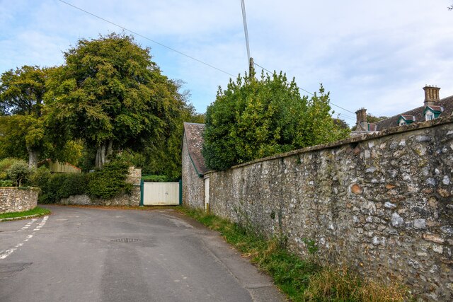
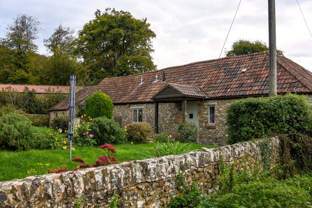
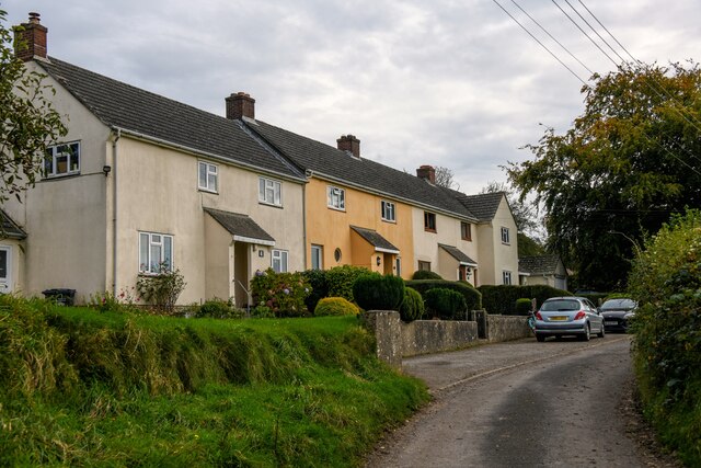
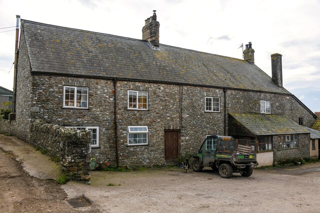
Wheatlands Coppice Images
Images are sourced within 2km of 50.927318/-3.0436105 or Grid Reference ST2614. Thanks to Geograph Open Source API. All images are credited.


Wheatlands Coppice is located at Grid Ref: ST2614 (Lat: 50.927318, Lng: -3.0436105)
Administrative County: Somerset
District: South Somerset
Police Authority: Avon and Somerset
What 3 Words
///dodges.deferring.scorch. Near Chard, Somerset
Nearby Locations
Related Wikis

Castle Neroche
Castle Neroche is a Norman motte-and-bailey castle on the site of an earlier hill fort in the parish of Curland, near Staple Fitzpaine, Somerset, England...

Church of St Mary, Buckland St Mary
The Anglican Church of St Mary in Buckland St Mary, Somerset, England was built in 1853-1863. It is a Grade II* listed building. == History == The church...
Buckland St Mary
Buckland St Mary is a village and parish in Somerset, England, situated 6 miles (9.7 km) to the west of Ilminster and 8 miles (12.9 km) south of Taunton...

All Saints Church, Curland
All Saints Church is a former Church of England parish church in Curland, Somerset, England. Designed by Benjamin Ferrey, it was built in 1855–56 to replace...

Bishopswood Meadows
Bishopswood Meadows is a nature reserve situated within the Blackdown Hills Area of Outstanding Natural Beauty in the county of Somerset, England. The...

Ruttersleigh
Ruttersleigh (grid reference ST250165) is a 97 hectares (240 acres) biological Site of Special Scientific Interest between Buckland St Mary and Staple...
Long Lye
Long Lye (grid reference ST265122) is an 11.7 hectare (29.0 acre) biological Site of Special Scientific Interest at Buckland St Mary in the Blackdown Hills...

Freshmoor
Freshmoor (grid reference ST280125) is an 11.2 hectare (27.7 acre) biological Site of Special Scientific Interest in Somerset, notified in 1989. Freshmoor...
Nearby Amenities
Located within 500m of 50.927318,-3.0436105Have you been to Wheatlands Coppice?
Leave your review of Wheatlands Coppice below (or comments, questions and feedback).