Hollow Grove

Wood, Forest in Devon East Devon

England

Hollow Grove

Shute Piers, Shute Road, Bakers Mead, Shute Positioned alongside an old Roman and turnpike road the piers were presumably the gateway to the Shute Estate. Graffiti on the piers indicate a date of 1763. Sir John William de la Pole, 6th Baronet (1757 to 1799)  (MP for the rotten borough of West Looe) in 1787 built the 'New Shute House'. The 5th Baronet died in 1760 so it is possible the piers are later than 1763. The east pier was damaged by a car in 2008 and repaired at a cost of about £34,000, the cost met by the insurance company. In March 2011 however another car crashed into it completely demolishing it. The pier was re-built around the end of the same year.
Shute Piers, Shute Road, Bakers Mead, Shute Credit: Jo and Steve Turner

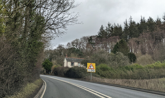
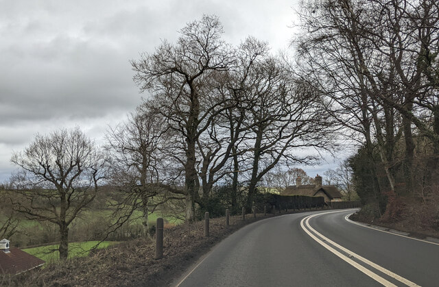
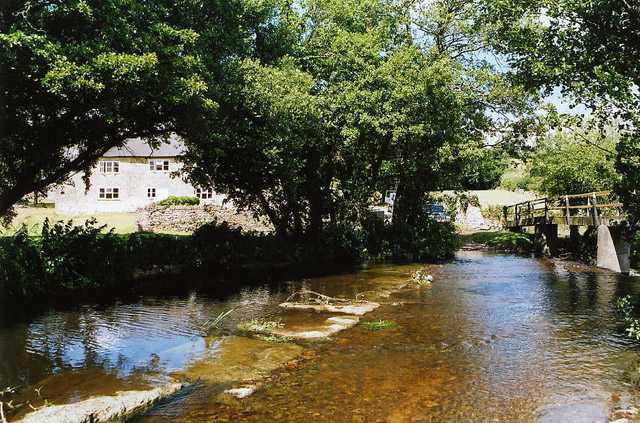
Hollow Grove, located in Devon, England, is a picturesque wood and forest area that offers visitors a serene and enchanting experience. Spanning over a vast expanse of land, Hollow Grove is renowned for its breathtaking natural beauty and diverse ecosystem.

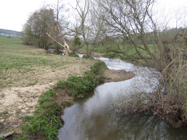
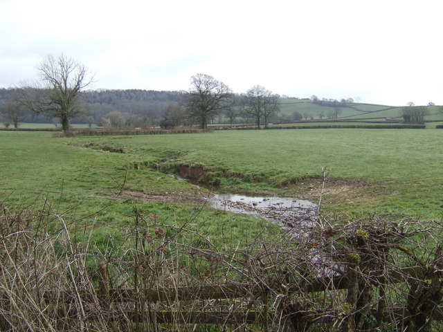
The wood boasts a rich variety of tree species, including towering oak, beech, and ash trees, which create a dense canopy that filters sunlight and casts mesmerizing patterns on the forest floor. The forest is also home to an abundance of wildlife, including deer, foxes, badgers, and a myriad of bird species, making it a haven for nature enthusiasts and birdwatchers alike.

Tranquil pathways wind through the wood, offering visitors the opportunity to immerse themselves in the peaceful atmosphere and marvel at the beauty of their surroundings. These paths lead to hidden clearings and secluded spots, perfect for picnics or simply enjoying a moment of solitude amidst nature's embrace.

In addition to its natural splendor, Hollow Grove also holds historical significance. It is rumored to have been a site of ancient rituals and gatherings, with remnants of stone circles and burial mounds dotting the landscape. These mysterious remnants add an air of intrigue and fascination to the wood, captivating the imagination of visitors.

Hollow Grove is easily accessible, with well-maintained trails that accommodate hikers, cyclists, and nature lovers of all ages. Whether it be a leisurely stroll, an adventurous hike, or a peaceful retreat, Hollow Grove offers an unforgettable experience for anyone seeking solace in the beauty of nature.

If you have any feedback on the listing, please let us know in the comments section below.

Hollow Grove Images

Images are sourced within 2km of 50.794165/-3.0492256 or Grid Reference SY2699. Thanks to Geograph Open Source API. All images are credited.

Shute Piers, Shute Road, Bakers Mead, Shute Positioned alongside an old Roman and turnpike road the piers were presumably the gateway to the Shute Estate. Graffiti on the piers indicate a date of 1763. Sir John William de la Pole, 6th Baronet (1757 to 1799)  (MP for the rotten borough of West Looe) in 1787 built the 'New Shute House'. The 5th Baronet died in 1760 so it is possible the piers are later than 1763. The east pier was damaged by a car in 2008 and repaired at a cost of about £34,000, the cost met by the insurance company. In March 2011 however another car crashed into it completely demolishing it. The pier was re-built around the end of the same year.
Shute Piers, Shute Road, Bakers Mead, Shute
Positioned alongside an old Roman and turnpike road the piers were presumably the gateway to the Shute Estate. Graffiti on the piers indicate a date of 1763. Sir John William de la Pole, 6th Baronet (1757 to 1799) (MP for the rotten borough of West Looe) in 1787 built the 'New Shute House'. The 5th Baronet died in 1760 so it is possible the piers are later than 1763. The east pier was damaged by a car in 2008 and repaired at a cost of about £34,000, the cost met by the insurance company. In March 2011 however another car crashed into it completely demolishing it. The pier was re-built around the end of the same year.
House next to the A35, heading towards Axminster
On the A35, heading east, passing houses
On the eastbound A35 approaching Studhayes Cross
Thatched Dwellings, Kilmington Situated on the lane leading to Coryton, this is a view of two traditional thatched dwellings in the village of Kilmington.
Thatched Dwellings, Kilmington
Situated on the lane leading to Coryton, this is a view of two traditional thatched dwellings in the village of Kilmington.
War Memorial, Kilmington Situated on the A35, just north of the old inn public house.
War Memorial, Kilmington
Situated on the A35, just north of the old inn public house.
Axminster: ford at Higher Westwater An old crossing of the river Yarty which looks calm enough here but in winter flows much more vigorously. By the side of the ford is a footbridge. In earlier centuries there was a tannery at Higher Westwater
Axminster: ford at Higher Westwater
An old crossing of the river Yarty which looks calm enough here but in winter flows much more vigorously. By the side of the ford is a footbridge. In earlier centuries there was a tannery at Higher Westwater
Road Junction. Lea, Devon There was a lot of road works in this area when the photo was taken.
Road Junction. Lea, Devon
There was a lot of road works in this area when the photo was taken.
Shute: stone gateposts Looking north-north-west on the road from Seaton and Colyton. A public footpath runs on ahead. The main road rounds the corner to join the A35 at Taunton Cross. On the right a lane leads to Shute Hill Farm; this was once a Roman road linking the Fosse Way with Exeter. The gateposts probably relate to Shute House, a property once belonging to the Pole family, and they – together with the Roman road – mark the parish boundary
Shute: stone gateposts
Looking north-north-west on the road from Seaton and Colyton. A public footpath runs on ahead. The main road rounds the corner to join the A35 at Taunton Cross. On the right a lane leads to Shute Hill Farm; this was once a Roman road linking the Fosse Way with Exeter. The gateposts probably relate to Shute House, a property once belonging to the Pole family, and they – together with the Roman road – mark the parish boundary
Shute: Roman road This highway once linked the Fosse Way in the Axe valley with Exeter. The Fosse Way terminated with a harbour at Axmouth. The route now merely provides access to Shute Hill Farm and has been supplanted by the A35 Trunk Road, which runs to the north of Kilmington Hill. Looking east-north-east
Shute: Roman road
This highway once linked the Fosse Way in the Axe valley with Exeter. The Fosse Way terminated with a harbour at Axmouth. The route now merely provides access to Shute Hill Farm and has been supplanted by the A35 Trunk Road, which runs to the north of Kilmington Hill. Looking east-north-east
Kilmington: Roman road The Roman road linking Dorchester and Exeter at the junction with The Hill and Shute Road, Kilmington. It climbs and skirts the northern edge of Kilmington Hill to then descend and meet the A35 Trunk Road at Taunton Cross. Looking west-north-west. How long will the telephone box last?
Kilmington: Roman road
The Roman road linking Dorchester and Exeter at the junction with The Hill and Shute Road, Kilmington. It climbs and skirts the northern edge of Kilmington Hill to then descend and meet the A35 Trunk Road at Taunton Cross. Looking west-north-west. How long will the telephone box last?
Kilmington: New Inn This was one of the few pubs in the entire country to feature throughout the first sixteen editions of CAMRA’s Good Beer Guide. In 1989 it was noted as having a typical village public bar with table skittles and a darts board. There was also a tiny lounge. [Source: Tim Webb, The Best Pubs in Devon & Cornwall, Alma Books, 1989]. Looking north
Kilmington: New Inn
This was one of the few pubs in the entire country to feature throughout the first sixteen editions of CAMRA’s Good Beer Guide. In 1989 it was noted as having a typical village public bar with table skittles and a darts board. There was also a tiny lounge. [Source: Tim Webb, The Best Pubs in Devon & Cornwall, Alma Books, 1989]. Looking north
Kilmington: Silver Street A just drivable narrow village lane. Looking west-north-west.
Kilmington: Silver Street
A just drivable narrow village lane. Looking west-north-west.
Georgian farmhouse north of Kilmington
Corry Brook From the bridge north of Coryton. View west - upstream.
Corry Brook
From the bridge north of Coryton. View west - upstream.
Millgreen Farm Viewed from the bridge over the Corry Brook.
Millgreen Farm
Viewed from the bridge over the Corry Brook.
Stream flowing into the Yarty By the lane between Higher and Lower Westwater Farms.
Stream flowing into the Yarty
By the lane between Higher and Lower Westwater Farms.
Looking NE on the A35 near Kilmington
Show me another place!

Hollow Grove is located at Grid Ref: SY2699 (Lat: 50.794165, Lng: -3.0492256)

Administrative County: Devon

District: East Devon

Police Authority: Devon and Cornwall

What 3 Words

///drivers.invoices.backdrop. Near Axminster, Devon

Nearby Locations

Hollow Grove

Related Wikis

Loughwood Meeting House

Loughwood Meeting House is a historic Baptist chapel, 1 mile (1.6 km) south of the village of Dalwood, Devon in England. There was a meeting house on...

Dalwood

Dalwood is a village and county parish in the East Devon district of the English county of Devon. It is approximately 3 miles (4.8 km) away from the nearest...

Kilmington, Devon

Kilmington is a village near Axminster in East Devon off the A35 road. The village population at the 2011 Census was 830. Kilmington is a major part of...

Old Shute House

See also: New Shute HouseOld Shute House (known as Shute Barton between about 1789 and the 20th century), located at Shute, near Colyton, Axminster, Devon...

Shute, Devon

Shute is a village, parish and former manor located 3 miles (5 km) west of Axminster in East Devon, off the A35 road. It is surrounded by farmland and...
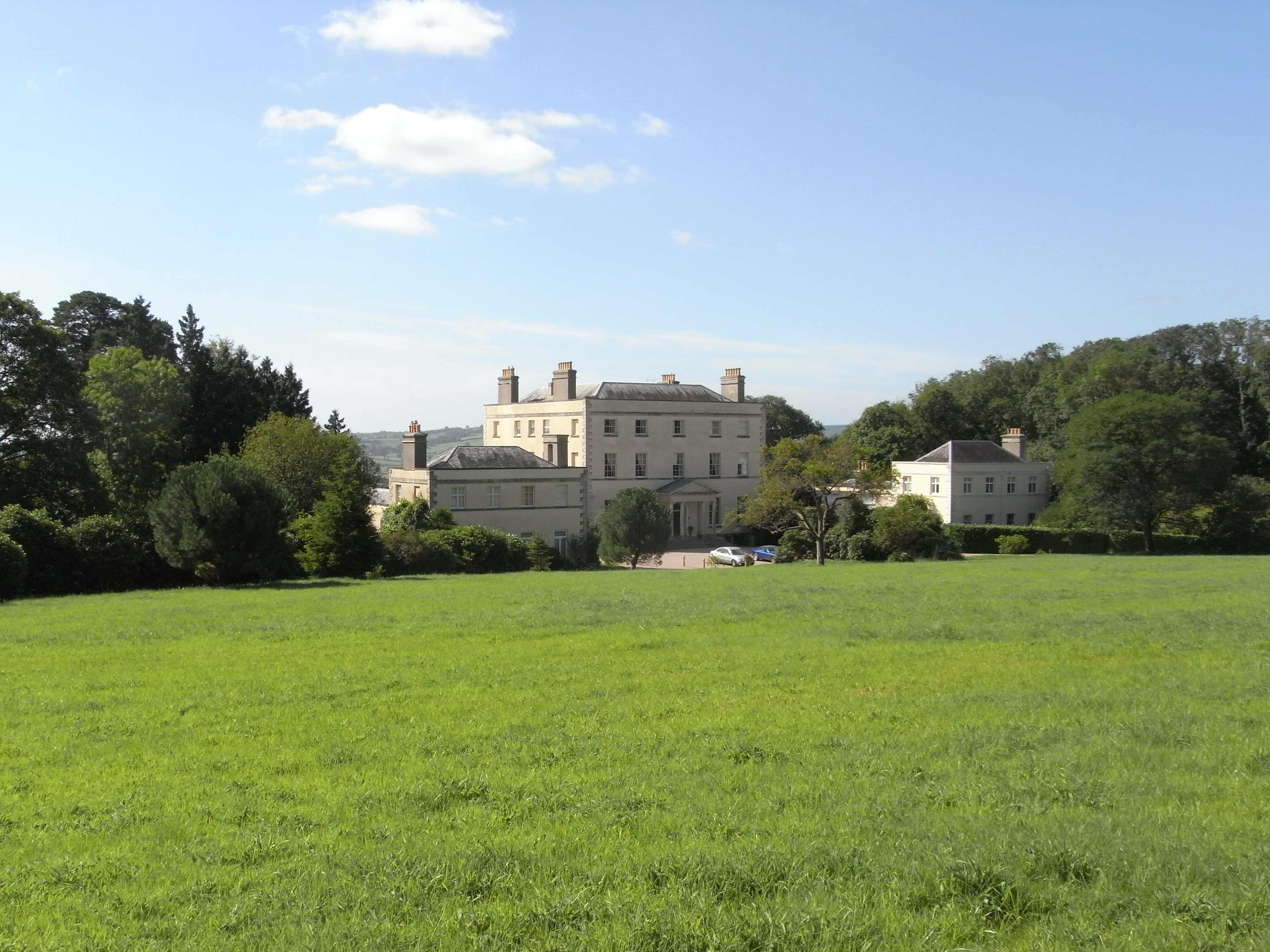
New Shute House

New Shute House is a late Palladian country house built between 1785 and 1789 by Sir John de la Pole, 6th Baronet (1757–1799) and is situated within the...

Lands common to Axminster and Kilmington

The lands common to Axminster and Kilmington civil parishes are an area of meadowland on the banks of the River Axe that is shared between the civil parishes...

River Yarty

The River Yarty is a river in east Devon, England, near the boundary with Somerset and Dorset. == Course == The river is about 26 kilometres (16 mi) long...

Nearby Amenities

Located within 500m of 50.794165,-3.0492256
Power: pole
Source: bing
Lat/Long: 50.7955262/-3.0432853
Power: pole
Source: bing
Lat/Long: 50.7958788/-3.0447498
Power: pole
Source: bing
Lat/Long: 50.7961789/-3.0460051
Power: pole
Source: bing
Lat/Long: 50.7965044/-3.0473743
Power: pole
Source: bing
Lat/Long: 50.7970469/-3.0486605
Power: pole
Source: bing
Lat/Long: 50.7975343/-3.0498245
Power: pole
Source: bing
Lat/Long: 50.7978649/-3.0506077
Power: pole
Source: bing
Transformer: distribution
Lat/Long: 50.7981921/-3.0513574
The data included in this document is from www.openstreetmap.org. The data is made available under ODbL.

Have you been to Hollow Grove?

Leave your review of Hollow Grove below (or comments, questions and feedback).