Sunny Bank and Clay Pits Wood
Wood, Forest in Lancashire South Lakeland
England
Sunny Bank and Clay Pits Wood

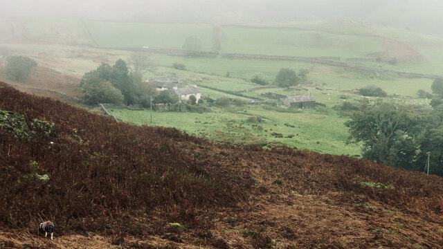
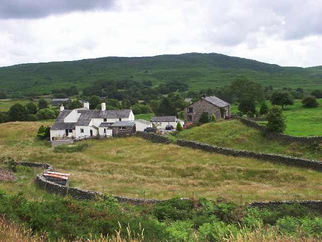
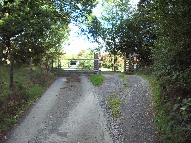
Sunny Bank and Clay Pits Wood are two adjacent natural areas located in Lancashire, England. Sunny Bank is a small woodland area covering approximately 5 hectares, while Clay Pits Wood is a larger forested area spanning around 20 hectares. Both sites are considered important natural habitats within the region.
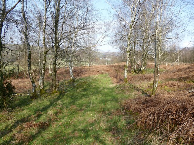
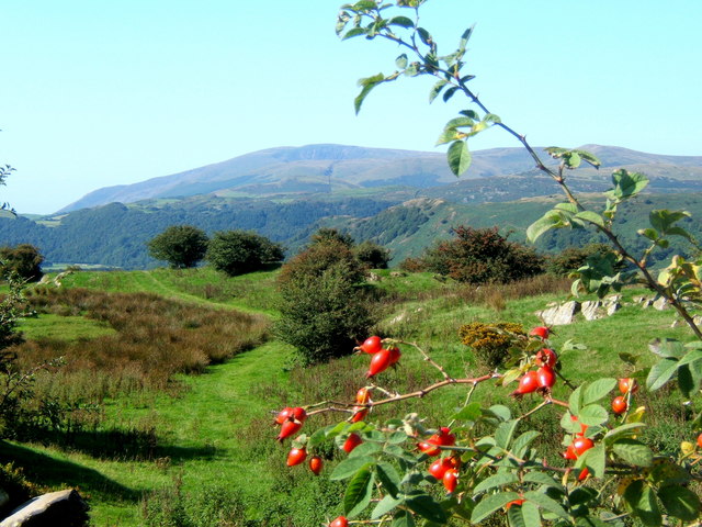
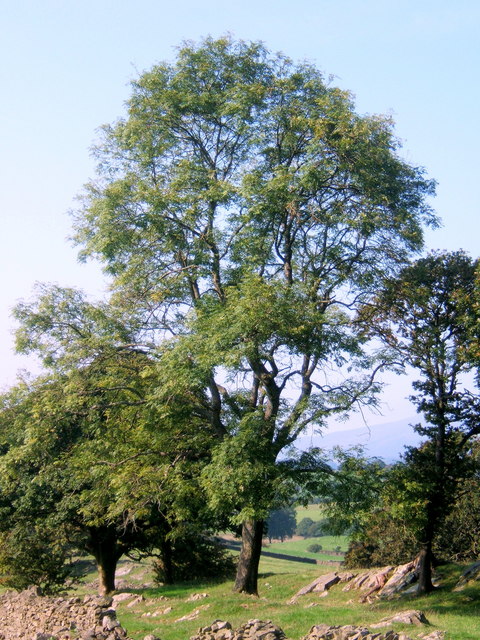
Sunny Bank is characterized by its diverse tree species, including oak, birch, and beech. The woodland floor is adorned with a rich carpet of bluebells, wood anemones, and other wildflowers during the spring and summer months. The area is also home to a variety of wildlife, such as squirrels, deer, and various bird species.
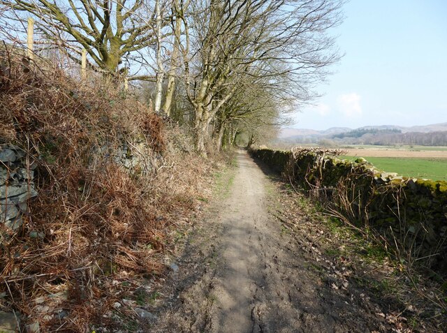
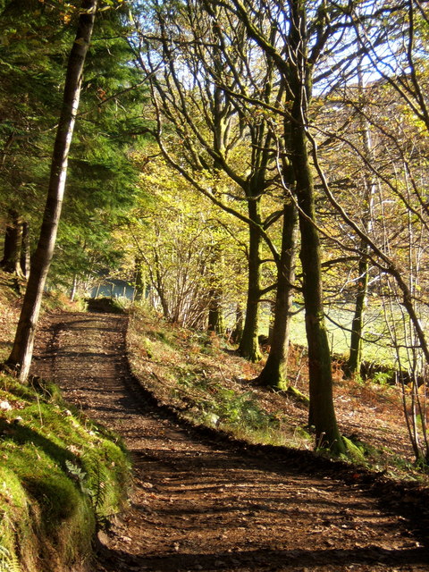
Clay Pits Wood, on the other hand, boasts a more extensive forested landscape with a mix of coniferous and deciduous trees. The forest is a popular destination for nature lovers, hikers, and birdwatchers due to its tranquil atmosphere and abundance of wildlife. Visitors can spot species such as great spotted woodpeckers, tawny owls, and foxes while exploring the network of walking trails that wind through the woodland.
Both Sunny Bank and Clay Pits Wood are managed and protected by local conservation organizations in collaboration with the Lancashire County Council. These organizations work diligently to preserve the natural beauty and biodiversity of these woodlands, ensuring that they remain accessible to the public for recreational and educational purposes.
Overall, Sunny Bank and Clay Pits Wood offer a valuable natural escape for visitors, providing an opportunity to immerse themselves in the beauty of Lancashire's woodlands and experience its diverse flora and fauna.
If you have any feedback on the listing, please let us know in the comments section below.
Sunny Bank and Clay Pits Wood Images
Images are sourced within 2km of 54.308286/-3.1662652 or Grid Reference SD2490. Thanks to Geograph Open Source API. All images are credited.

Sunny Bank and Clay Pits Wood is located at Grid Ref: SD2490 (Lat: 54.308286, Lng: -3.1662652)
Administrative County: Cumbria
District: South Lakeland
Police Authority: Cumbria
What 3 Words
///cyber.cabin.went. Near Millom, Cumbria
Related Wikis

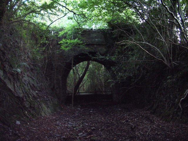
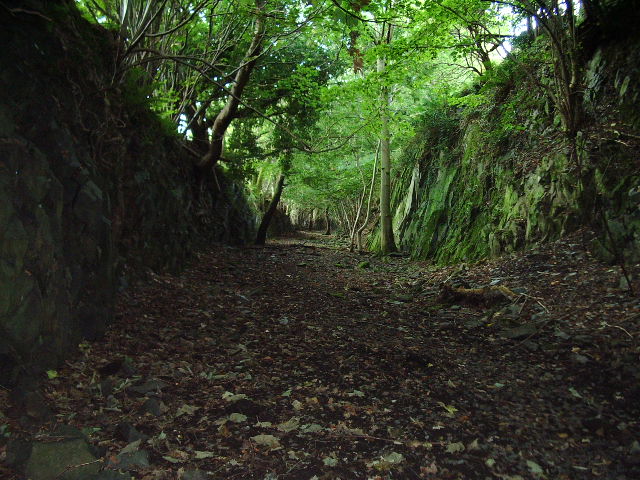
Woodland railway station
Woodland railway station served the hamlet of Woodland, in Lancashire, England (now in Cumbria). It was on the branch line to Coniston. == History == Authorised...

Rosthwaite, Broughton West
Rosthwaite is a settlement in the Broughton West civil parish of Westmorland and Furness, Cumbria England. It is part of the Lake District, 3 miles (4...

Broughton West
Broughton West is a civil parish in the Westmorland and Furness district of Cumbria, England. In the 2001 census the parish had a population of 954, decreasing...

Woodland, Cumbria
Woodland is a dispersed hamlet within the civil parish of Kirkby Ireleth in the Furness region of Cumbria, England, and is located in the southern part...

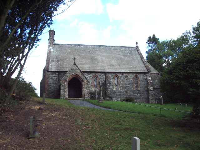
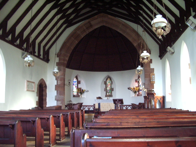
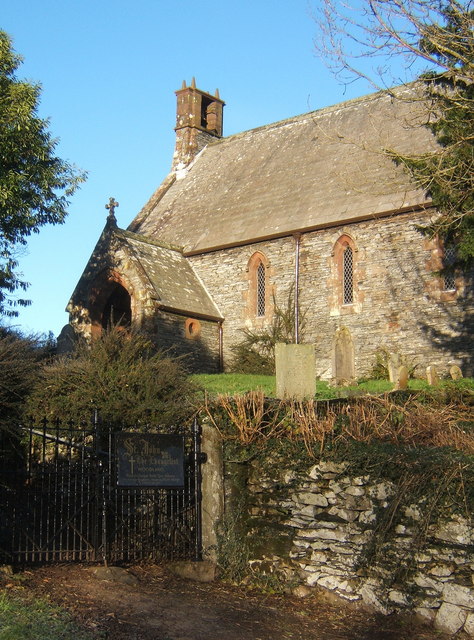
St John the Evangelist's Church, Woodland
St John the Evangelist's Church is in the hamlet of Woodland, about 4 kilometres (2 mi) to the northeast of Broughton-in-Furness, Cumbria, England. It...

Blacksmiths Arms, Broughton Mills
The Blacksmiths Arms is a Grade II listed public house at Broughton Mills, Cumbria, England.It is on the Campaign for Real Ale's National Inventory of...
Broughton Mills
Broughton Mills is a village in Cumbria, England, located 3.5 kilometres from the larger town of Broughton-in-furness. The village consists of about 40...

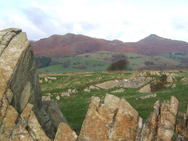
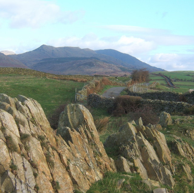
Great Stickle
Great Stickle is a fell located in the southern Lake District of England with an altitude of 305 m (1,001 ft). Alfred Wainwright included it in the Stickle...
Nearby Amenities
Located within 500m of 54.308286,-3.1662652Have you been to Sunny Bank and Clay Pits Wood?
Leave your review of Sunny Bank and Clay Pits Wood below (or comments, questions and feedback).