Rosthwaite

Settlement in Lancashire South Lakeland

England

Rosthwaite

Remains of wooden ballast bin Only a few rotten pieces of wood remain from this ballast bin beside the former Furness Railway Coniston Branch near Moss Side.  Built from old wooden railway sleepers it is difficult to place an age on this ballast bin, but it is possible it pre-dates the formation of the London Midland and Scottish Railway in 1923 who later introduced concrete bins (see photograph <a href="https://www.geograph.org.uk/photo/6797992">NY2924 : LMS Standard Concrete Ballast Bin</a>).
Positioned approximately every mile, more frequently on curved track, ballast bins were used to store small stone chippings which were used by the railway Lengthsmen to pack and adjust the railway sleepers. Using only a jack and a shovel, an experienced Lengthsman could judge exactly the right quantity of chippings to use to obtain a perfect ‘top’ to the rail and they often took great pride in the quality of their work.
The Coniston Branch closed to passengers in October 1958 and to all traffic with effect from the 30 April 1962 although the last train had run during the preceding week.  The track bed in front of the ballast bin is deep in mud and trampled by cows.
Remains of wooden ballast bin Credit: Adrian Taylor

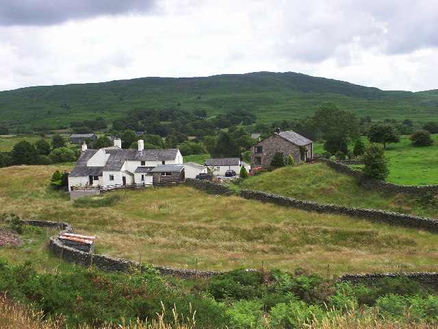
Rosthwaite is a quaint village located in the county of Lancashire, England. Situated in the Lake District National Park, this picturesque village is surrounded by breathtaking natural beauty. It lies within the Borrowdale valley, nestled between the magnificent mountains of Great Gable and Castle Crag, making it a popular destination for outdoor enthusiasts and nature lovers.

The village itself is characterized by traditional stone-built houses, giving it a charming and rustic atmosphere. Rosthwaite is home to a small but tight-knit community, with a population of around 150 residents. Despite its modest size, the village offers a range of amenities to cater to both locals and visitors.

One of the main attractions in Rosthwaite is its proximity to some of the most stunning walking trails in the Lake District. The village serves as an excellent base for hikers wishing to explore the surrounding fells, including the famous Scafell Pike, the highest peak in England. Additionally, the nearby River Derwent provides opportunities for fishing and boating.

For those seeking a taste of local culture, Rosthwaite offers a charming tea room and a traditional pub, where visitors can enjoy hearty meals and sample locally brewed ales. The village also boasts a small shop for essential supplies.

Overall, Rosthwaite is a hidden gem within Lancashire, offering a tranquil escape from the hustle and bustle of city life. With its stunning natural surroundings and warm community spirit, it is a must-visit destination for those seeking solace in the beauty of the Lake District.

If you have any feedback on the listing, please let us know in the comments section below.
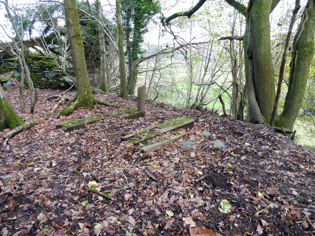
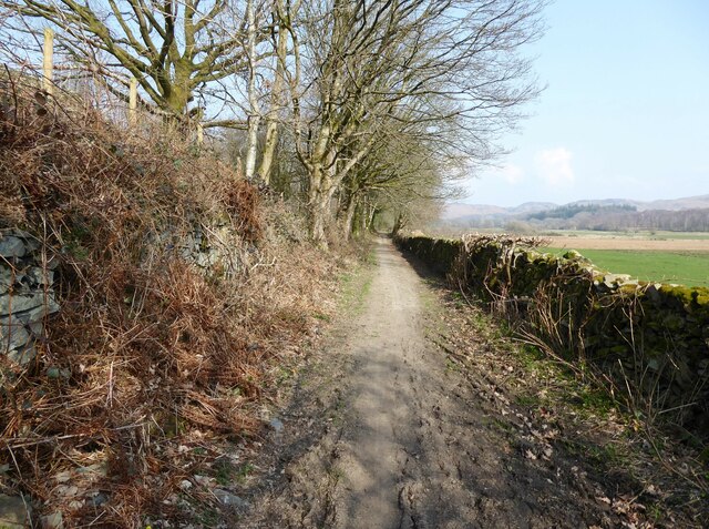
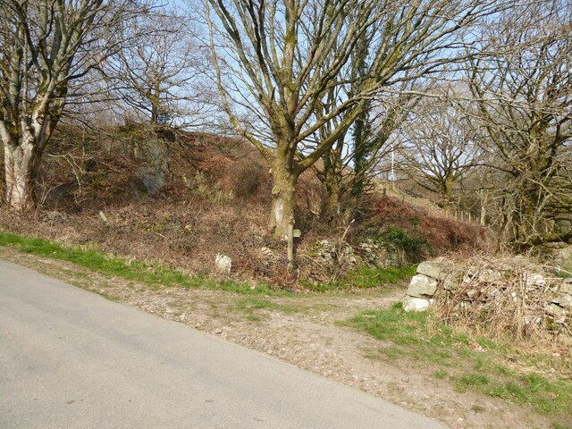
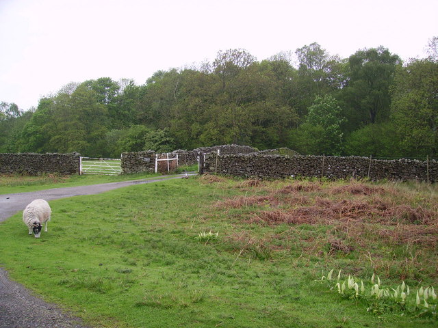
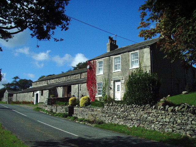
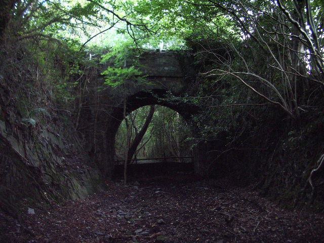
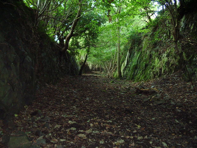
Rosthwaite Images

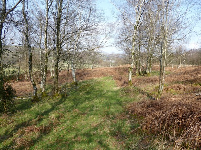
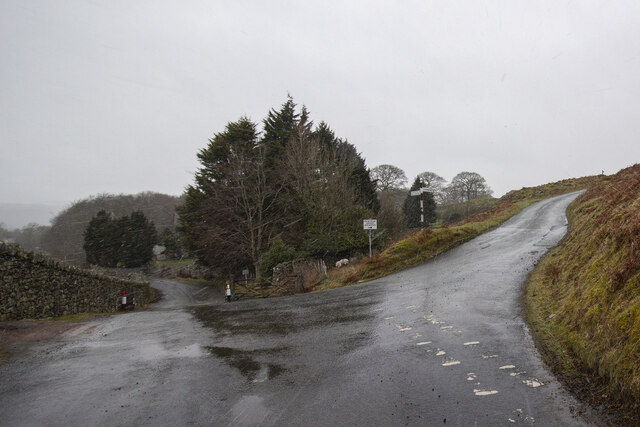
Images are sourced within 2km of 54.300409/-3.167834 or Grid Reference SD2490. Thanks to Geograph Open Source API. All images are credited.

Remains of wooden ballast bin Only a few rotten pieces of wood remain from this ballast bin beside the former Furness Railway Coniston Branch near Moss Side.  Built from old wooden railway sleepers it is difficult to place an age on this ballast bin, but it is possible it pre-dates the formation of the London Midland and Scottish Railway in 1923 who later introduced concrete bins (see photograph <a href="https://www.geograph.org.uk/photo/6797992">NY2924 : LMS Standard Concrete Ballast Bin</a>).
Positioned approximately every mile, more frequently on curved track, ballast bins were used to store small stone chippings which were used by the railway Lengthsmen to pack and adjust the railway sleepers. Using only a jack and a shovel, an experienced Lengthsman could judge exactly the right quantity of chippings to use to obtain a perfect ‘top’ to the rail and they often took great pride in the quality of their work.
The Coniston Branch closed to passengers in October 1958 and to all traffic with effect from the 30 April 1962 although the last train had run during the preceding week.  The track bed in front of the ballast bin is deep in mud and trampled by cows.
Remains of wooden ballast bin
Only a few rotten pieces of wood remain from this ballast bin beside the former Furness Railway Coniston Branch near Moss Side. Built from old wooden railway sleepers it is difficult to place an age on this ballast bin, but it is possible it pre-dates the formation of the London Midland and Scottish Railway in 1923 who later introduced concrete bins (see photograph NY2924 : LMS Standard Concrete Ballast Bin). Positioned approximately every mile, more frequently on curved track, ballast bins were used to store small stone chippings which were used by the railway Lengthsmen to pack and adjust the railway sleepers. Using only a jack and a shovel, an experienced Lengthsman could judge exactly the right quantity of chippings to use to obtain a perfect ‘top’ to the rail and they often took great pride in the quality of their work. The Coniston Branch closed to passengers in October 1958 and to all traffic with effect from the 30 April 1962 although the last train had run during the preceding week. The track bed in front of the ballast bin is deep in mud and trampled by cows.
Kirkby Pool
Kirkby Pool
Lane near Brookside The lane is a public footpath leading to Buttstead Wood.
Lane near Brookside
The lane is a public footpath leading to Buttstead Wood.
Stile beside Buttstead Wood The public footpath from The Hill to Woodland crosses this stile adjacent to Buttstead Wood.
There is an Ordnance Survey rivet benchmark with cut mark on the bottom stone step of the stile (detail photograph <a href="https://www.geograph.org.uk/photo/7259390">SD2389 : Benchmark, Buttstead Wood</a>).
Stile beside Buttstead Wood
The public footpath from The Hill to Woodland crosses this stile adjacent to Buttstead Wood. There is an Ordnance Survey rivet benchmark with cut mark on the bottom stone step of the stile (detail photograph SD2389 : Benchmark, Buttstead Wood).
Benchmark, Buttstead Wood Detail of the Ordnance Survey rivet benchmark with cut mark on the horizontal bottom step of a public footpath stile adjacent to Buttstead Wood.  The benchmark marks a height of 8.6076m above mean sea level (Ordnance Datum Newlyn) last verified in 1954 (location photograph <a href="https://www.geograph.org.uk/photo/7259381">SD2389 : Stile beside Buttstead Wood</a>).
Benchmark, Buttstead Wood
Detail of the Ordnance Survey rivet benchmark with cut mark on the horizontal bottom step of a public footpath stile adjacent to Buttstead Wood. The benchmark marks a height of 8.6076m above mean sea level (Ordnance Datum Newlyn) last verified in 1954 (location photograph SD2389 : Stile beside Buttstead Wood).
Lane entrance near Brookside Leading from the road near Brookside the lane leads to Buttstead Wood and carries a public footpath to Low Rosthwaite.
There is an Ordnance Survey rivet benchmark on the top of the low stone post partially hidden in the brambles to the left of the footpath signpost (photograph <a href="https://www.geograph.org.uk/photo/7260566">SD2389 : Rivet benchmark near Brookside</a>).
Lane entrance near Brookside
Leading from the road near Brookside the lane leads to Buttstead Wood and carries a public footpath to Low Rosthwaite. There is an Ordnance Survey rivet benchmark on the top of the low stone post partially hidden in the brambles to the left of the footpath signpost (photograph SD2389 : Rivet benchmark near Brookside).
Rivet benchmark near Brookside Detail of an Ordnance Survey rivet benchmark on the top of a low stone post near Brookside.  The benchmark marks a height of 11.0246m above mean sea level (Ordnance Datum Newlyn) last verified in 1972 (location photograph <a href="https://www.geograph.org.uk/photo/7260558">SD2389 : Lane entrance near Brookside</a>).
Rivet benchmark near Brookside
Detail of an Ordnance Survey rivet benchmark on the top of a low stone post near Brookside. The benchmark marks a height of 11.0246m above mean sea level (Ordnance Datum Newlyn) last verified in 1972 (location photograph SD2389 : Lane entrance near Brookside).
Woodland path near Latter Rigg
Road Junction
Road Junction
Ringhouse Farm and Cottages, Lake District This is Ringhouse Farm and its associated cottages which are available for rent (google 'em for details). Ideally situated for access to the south lakes and beyond and plenty of walks from the farm if you don't feel like getting into the car.
Ringhouse Farm and Cottages, Lake District
This is Ringhouse Farm and its associated cottages which are available for rent (google 'em for details). Ideally situated for access to the south lakes and beyond and plenty of walks from the farm if you don't feel like getting into the car.
Sheep Near Woodland By the entrance to Thornthwaite Farm. Cuckoo Pint (Lords and Ladies) growing on the verge.
Sheep Near Woodland
By the entrance to Thornthwaite Farm. Cuckoo Pint (Lords and Ladies) growing on the verge.
High Aulthwaite Side
Road bridge This bridge spans the old Broughton-in-Furness to Coniston Railway about 2 miles NE of Broughton
Road bridge
This bridge spans the old Broughton-in-Furness to Coniston Railway about 2 miles NE of Broughton
Dismantled railway Looking SE towards Broughton-in-Furness along the old Broughton-in-Furness to Coniston Railway
Dismantled railway
Looking SE towards Broughton-in-Furness along the old Broughton-in-Furness to Coniston Railway
St John the Evangelist Church, Woodland
St John the Evangelist Church, Woodland, Interior
Barriers Gate and Cattle Grid across the road to Hawes Farm
Barriers
Gate and Cattle Grid across the road to Hawes Farm
Near Woodland, Black Combe in the distance
Show me another place!

Rosthwaite is located at Grid Ref: SD2490 (Lat: 54.300409, Lng: -3.167834)

Administrative County: Cumbria

District: South Lakeland

Police Authority: Cumbria

What 3 Words

///liners.finer.bridge. Near Millom, Cumbria

Related Wikis

Rosthwaite, Broughton West

Rosthwaite is a settlement in the Broughton West civil parish of Westmorland and Furness, Cumbria England. It is part of the Lake District, 3 miles (4...

Woodland railway station

Woodland railway station served the hamlet of Woodland, in Lancashire, England (now in Cumbria). It was on the branch line to Coniston. == History == Authorised...

Woodland, Cumbria

Woodland is a dispersed hamlet within the civil parish of Kirkby Ireleth in the Furness region of Cumbria, England, and is located in the southern part...

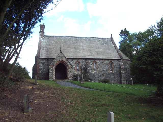
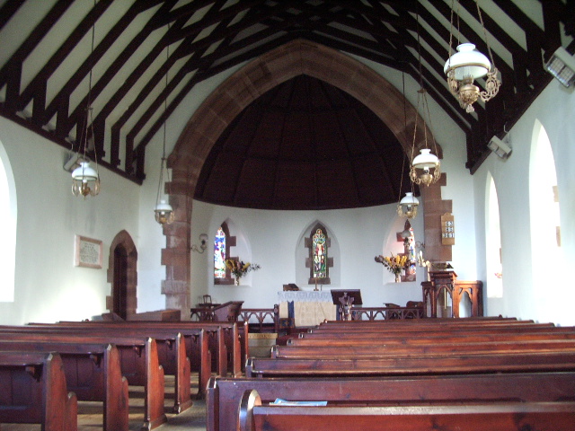
St John the Evangelist's Church, Woodland

St John the Evangelist's Church is in the hamlet of Woodland, about 4 kilometres (2 mi) to the northeast of Broughton-in-Furness, Cumbria, England. It...

Nearby Amenities

Located within 500m of 54.300409,-3.167834
Post Box
Brand: Royal Mail
Brand Wikidata: Q638098
Operator: Royal Mail
Operator Wikidata: Q638098
Ref: LA20 6
Lat/Long: 54.3021321/-3.1704282
Woodland
Abandoned Railway: station
Railway: site
Wikidata: Q8032897
Wikipedia: en:Woodland railway station
Lat/Long: 54.3031337/-3.1678629
Generator Method: photovoltaic
Generator Output Electricity: yes
Generator Source: solar
Generator Type: solar_photovoltaic_panel
Power: generator
Lat/Long: 54.3006077/-3.1734967
Barrier: stile
Lat/Long: 54.3026711/-3.1658032
Baskell Wood
Place: locality
Lat/Long: 54.3043166/-3.1672569
Bridge Yeat Wood
Place: locality
Lat/Long: 54.303317/-3.1647182
New Close Wood
Place: locality
Lat/Long: 54.3021664/-3.1648168
Power: pole
Lat/Long: 54.3005897/-3.1754498
Power: pole
Lat/Long: 54.3011649/-3.1743932
Power: pole
Lat/Long: 54.3017448/-3.1733671
Power: pole
Lat/Long: 54.3024009/-3.1722057
Power: pole
Lat/Long: 54.3030851/-3.1709912
Power: pole
Lat/Long: 54.3038323/-3.1696591
Power: pole
Lat/Long: 54.3044188/-3.1685606
Power: pole
Lat/Long: 54.3034815/-3.1724605
Power: pole
Lat/Long: 54.3028526/-3.1700863
Power: pole
Lat/Long: 54.3024254/-3.1684795
Power: pole
Lat/Long: 54.3020005/-3.1668589
Power: pole
Lat/Long: 54.3013807/-3.1663982
Power: pole
Lat/Long: 54.3008088/-3.1658905
Power: pole
Lat/Long: 54.3002938/-3.1648479
Power: pole
Lat/Long: 54.2998437/-3.1638815
Power: pole
Lat/Long: 54.2992399/-3.162585
Power: pole
Lat/Long: 54.2986247/-3.1612593
Power: pole
Lat/Long: 54.3004533/-3.1633348
Power: pole
Lat/Long: 54.3013101/-3.1625948
Power: pole
Lat/Long: 54.3019219/-3.1620696
The data included in this document is from www.openstreetmap.org. The data is made available under ODbL.

Have you been to Rosthwaite?

Leave your review of Rosthwaite below (or comments, questions and feedback).