Alder Grove

Wood, Forest in Somerset Somerset West and Taunton

England

Alder Grove

Blagdon Hill : Countryside Scenery Looking across the fields.
Blagdon Hill : Countryside Scenery Credit: Lewis Clarke

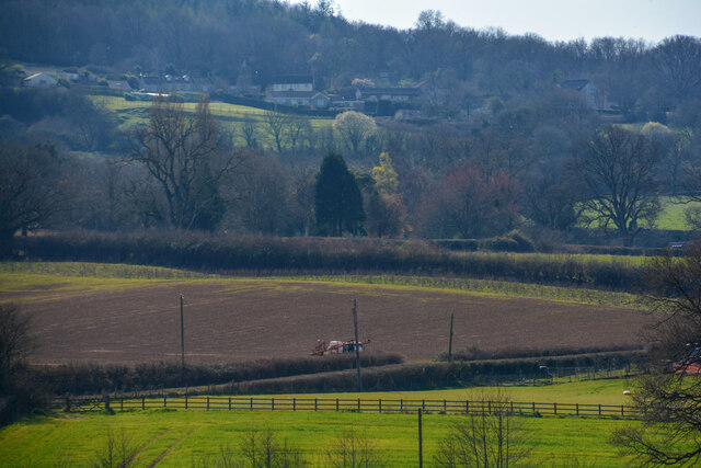
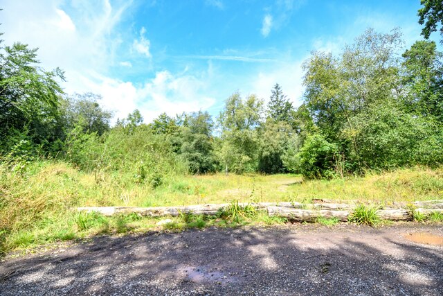
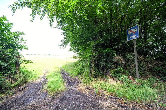
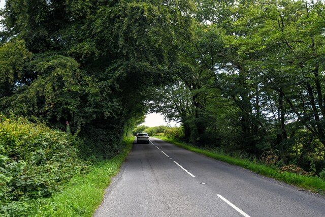
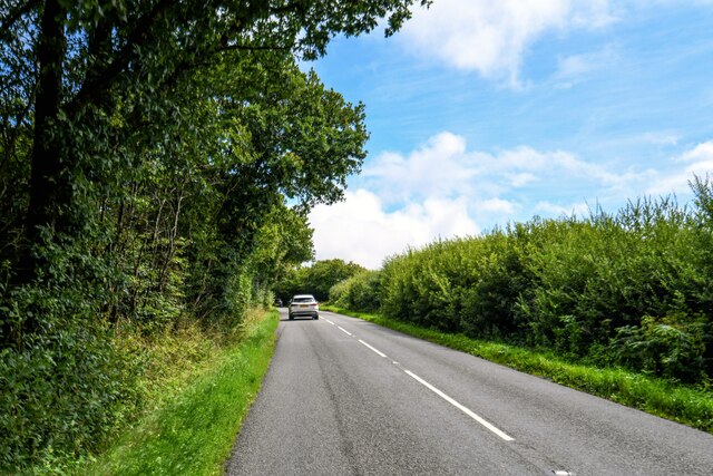
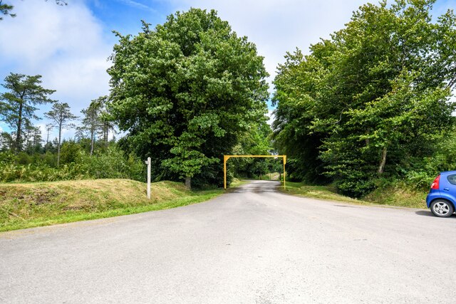
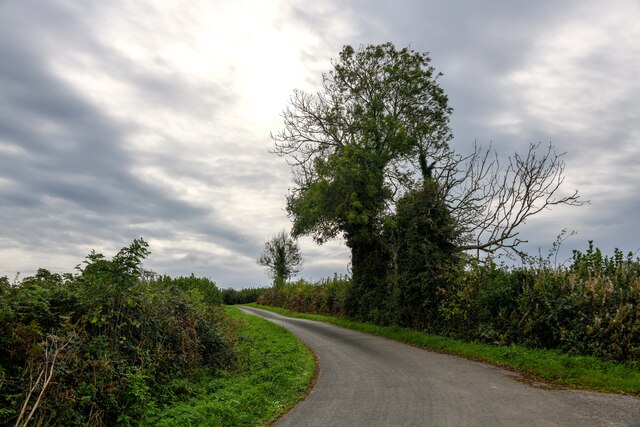
Alder Grove, Somerset is a charming woodland located in the southwest region of England. Nestled within the beautiful countryside, this forested area is a haven for nature lovers and outdoor enthusiasts alike. Spanning approximately 100 acres, the grove is primarily composed of alder trees, which lend their name to this picturesque spot.

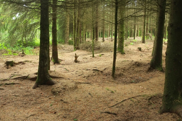
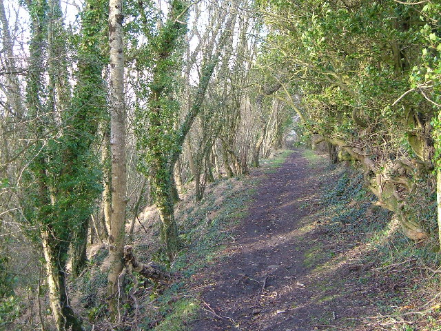
The woodland is home to a diverse range of flora and fauna, creating a thriving ecosystem. The alder trees dominate the landscape, with their glossy leaves and slender trunks reaching towards the sky. The forest floor is carpeted with a variety of wildflowers, including bluebells and primroses, adding bursts of color to the greenery.

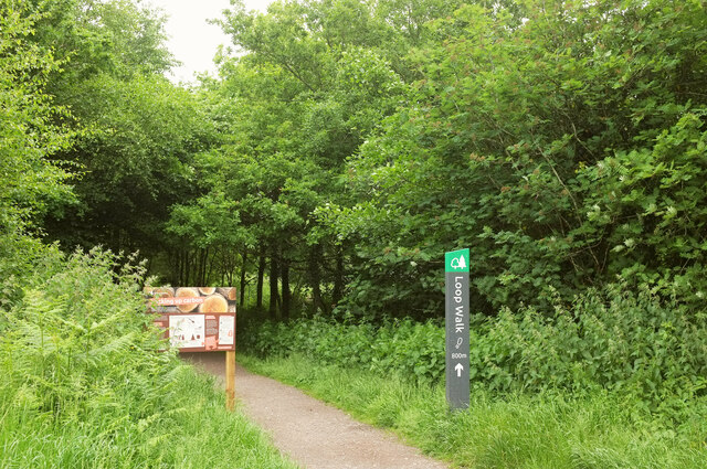
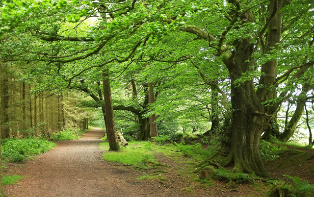
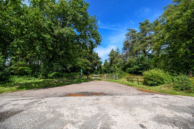
Alder Grove offers a tranquil retreat for visitors, providing an escape from the hustle and bustle of everyday life. Meandering pathways wind through the woods, providing opportunities for leisurely strolls and peaceful contemplation. The air is filled with the sweet scent of damp earth and the melodious songs of birds, creating a serene ambiance.

The woodland also boasts a small stream that meanders through its heart, adding to its natural charm. This babbling brook is a haven for wildlife, attracting small mammals and birds to its banks. Visitors may spot the occasional deer or fox, gracefully navigating the undergrowth.

For those seeking adventure, Alder Grove offers opportunities for outdoor activities. Hiking and cycling trails crisscross the forest, allowing visitors to explore the area's natural beauty at their own pace. Additionally, the grove is a popular spot for birdwatching, with a variety of species calling this woodland home.

In conclusion, Alder Grove, Somerset is a captivating woodland that showcases the beauty of the English countryside. With its lush foliage, diverse wildlife, and peaceful atmosphere, this forested area provides a welcome respite for nature enthusiasts and a chance to reconnect with the natural world.

If you have any feedback on the listing, please let us know in the comments section below.

Alder Grove Images

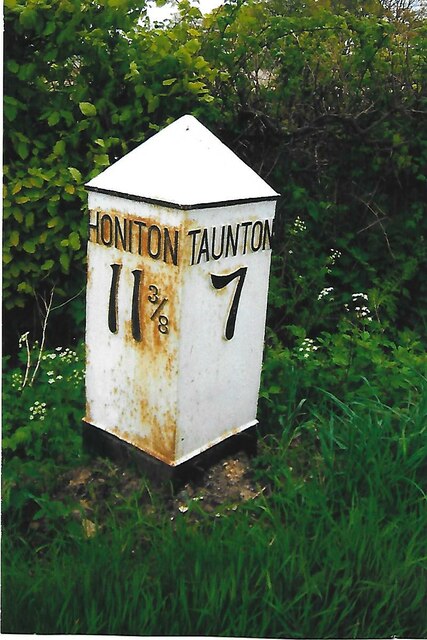
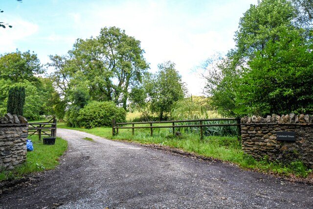
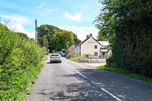
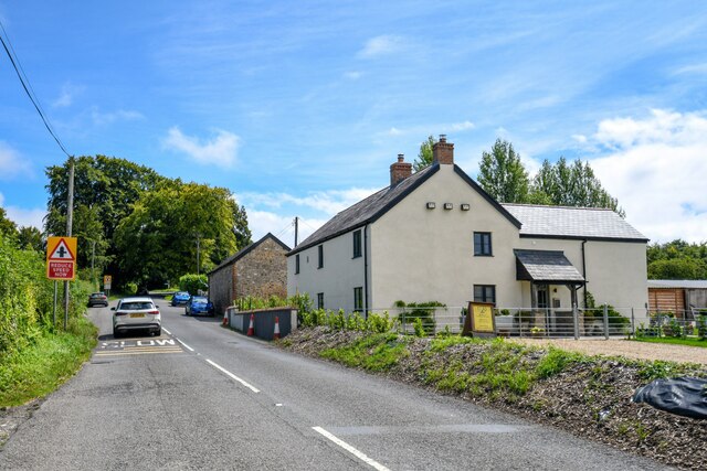
Images are sourced within 2km of 50.942746/-3.0987845 or Grid Reference ST2216. Thanks to Geograph Open Source API. All images are credited.

Blagdon Hill : Countryside Scenery Looking across the fields.
Blagdon Hill : Countryside Scenery
Looking across the fields.
Start of Loop Walk, Staple Hill The signs have changed since <a href="https://www.geograph.org.uk/photo/4778373">ST2415 : Viewpoint walk on Staple Hill</a> was taken at the eastern corner of the car park. And it may have changed from midwinter to June, but it's steadily drizzling.
Start of Loop Walk, Staple Hill
The signs have changed since ST2415 : Viewpoint walk on Staple Hill was taken at the eastern corner of the car park. And it may have changed from midwinter to June, but it's steadily drizzling.
Conifers, Staple Hill Beside the Loop Walk at the Forestry England site.
Conifers, Staple Hill
Beside the Loop Walk at the Forestry England site.
Path, Staple Hill Broadleaves have been retained along the edge of the conifer plantation.
Path, Staple Hill
Broadleaves have been retained along the edge of the conifer plantation.
Holman Clavel Inn
Holman Clavel Inn
Old Milepost by B3170, near Walland Farm and cross roads at North Down The Milepost is located on grassy bank on the East of the road.  Parish of Otterford (Taunton Deane District). Cast iron post, Taunton Allen iron casting design, erected by the Local Highways Board in the 19th Century, repainted by SCC in 2007 but already going rusty. An earlier photograph can be found here: <a title="https://www.geograph.org.uk/photo/6051358" href="https://www.geograph.org.uk/photo/6051358">Link</a> 

Inscription reads:-  HONITON / 11 3/8 / : : TAUNTON / 7  

Grade II listed. List Entry Number: 1060231 <span class="nowrap"><a title="https://historicengland.org.uk/listing/the-list/list-entry/1060231" rel="nofollow ugc noopener" href="https://historicengland.org.uk/listing/the-list/list-entry/1060231">Link</a><img style="margin-left:2px;" alt="External link" title="External link - shift click to open in new window" src="https://s1.geograph.org.uk/img/external.png" width="10" height="10"/></span> 

Milestone Society National ID: SO_TAHO07
Old Milepost by B3170, near Walland Farm and cross roads at North Down
The Milepost is located on grassy bank on the East of the road.  Parish of Otterford (Taunton Deane District). Cast iron post, Taunton Allen iron casting design, erected by the Local Highways Board in the 19th Century, repainted by SCC in 2007 but already going rusty. An earlier photograph can be found here: Link  Inscription reads:- HONITON / 11 3/8 / : : TAUNTON / 7 Grade II listed. List Entry Number: 1060231 LinkExternal link Milestone Society National ID: SO_TAHO07
Pitminster : Track A track to Culmhead House of Blackdown Hill.
Pitminster : Track
A track to Culmhead House of Blackdown Hill.
Otterford : Widcombe - Holman Clavel A road heading through Widcombe.
Otterford : Widcombe - Holman Clavel
A road heading through Widcombe.
Otterford : Widcombe - Holman Clavel Looking along the road.
Otterford : Widcombe - Holman Clavel
Looking along the road.
Otterford : Roadside Looking alongside Neroche Road.
Otterford : Roadside
Looking alongside Neroche Road.
Otterford : B3170 Looking along the B3170.
Otterford : B3170
Looking along the B3170.
Otterford : B3170 Looking along the B3170.
Otterford : B3170
Looking along the B3170.
Otterford : North Down A track leading to North Down Plantation.
Otterford : North Down
A track leading to North Down Plantation.
Staple Fitzpaine : Track A track into the grassy field off Neroche Road.
Staple Fitzpaine : Track
A track into the grassy field off Neroche Road.
Staple Fitzpaine : Neroche Road Looking along Neroche Road.
Staple Fitzpaine : Neroche Road
Looking along Neroche Road.
Staple Fitzpaine : Neroche Road Looking along Neroche Road.
Staple Fitzpaine : Neroche Road
Looking along Neroche Road.
Staple Fitzpaine : Car Park Entrance Looking towards the entrance to the car park.
Staple Fitzpaine : Car Park Entrance
Looking towards the entrance to the car park.
Pitminster : Adcombe Lane A country road.
Pitminster : Adcombe Lane
A country road.
Show me another place!

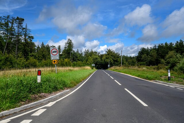
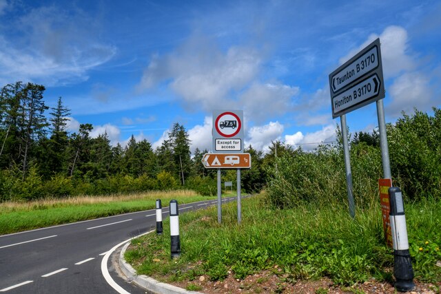
Alder Grove is located at Grid Ref: ST2216 (Lat: 50.942746, Lng: -3.0987845)

Administrative County: Somerset

District: Somerset West and Taunton

Police Authority: Avon and Somerset

What 3 Words

///decency.brew.revamping. Near Taunton, Somerset

Related Wikis

Nearby Amenities

Located within 500m of 50.942746,-3.0987845
Give Way
Lat/Long: 50.9402033/-3.09826
Give Way
Direction: forward
Lat/Long: 50.9402057/-3.0983635
Give Way
Lat/Long: 50.9396042/-3.1037657
Historic: milepost
Inscription: Taunton 6 Miles
Lat/Long: 50.9457009/-3.0958048
The data included in this document is from www.openstreetmap.org. The data is made available under ODbL.

Have you been to Alder Grove?

Leave your review of Alder Grove below (or comments, questions and feedback).