Hurgin Plantation

Wood, Forest in Shropshire

England

Hurgin Plantation

Track and rushes Rushes growing in a damp field astride a farm track.
Track and rushes Credit: Jonathan Wilkins

Hurgin Plantation is a picturesque woodland located in Shropshire, England. Nestled in the heart of the county, this enchanting forest covers an area of approximately 200 acres, making it an ideal destination for nature enthusiasts and outdoor adventurers.

The plantation is characterized by its dense, ancient woodlands, which are predominantly composed of oak, beech, and birch trees. These majestic trees create a stunning canopy overhead, providing a sense of tranquility and serenity as visitors explore the area. The woodland floor is adorned with a rich diversity of flora, including wildflowers, ferns, and mosses, adding to the natural beauty of the plantation.

Hurgin Plantation boasts an extensive network of well-maintained footpaths and trails, allowing visitors to explore the forest at their leisure. Whether it's a peaceful stroll, a family picnic, or a challenging hike, there is something for everyone to enjoy. Nature lovers can also spot a variety of wildlife, such as deer, squirrels, and an array of bird species, adding to the allure of this natural haven.

The plantation is managed by the local authorities, who ensure its conservation and preservation. In addition to its recreational value, Hurgin Plantation also plays a vital role in maintaining the ecological balance of the region, acting as a habitat for countless species of plants and animals.

Overall, Hurgin Plantation in Shropshire is a haven of natural beauty, offering visitors an opportunity to immerse themselves in the splendor of woodlands, explore diverse trails, and connect with nature in a serene and tranquil environment.

If you have any feedback on the listing, please let us know in the comments section below.

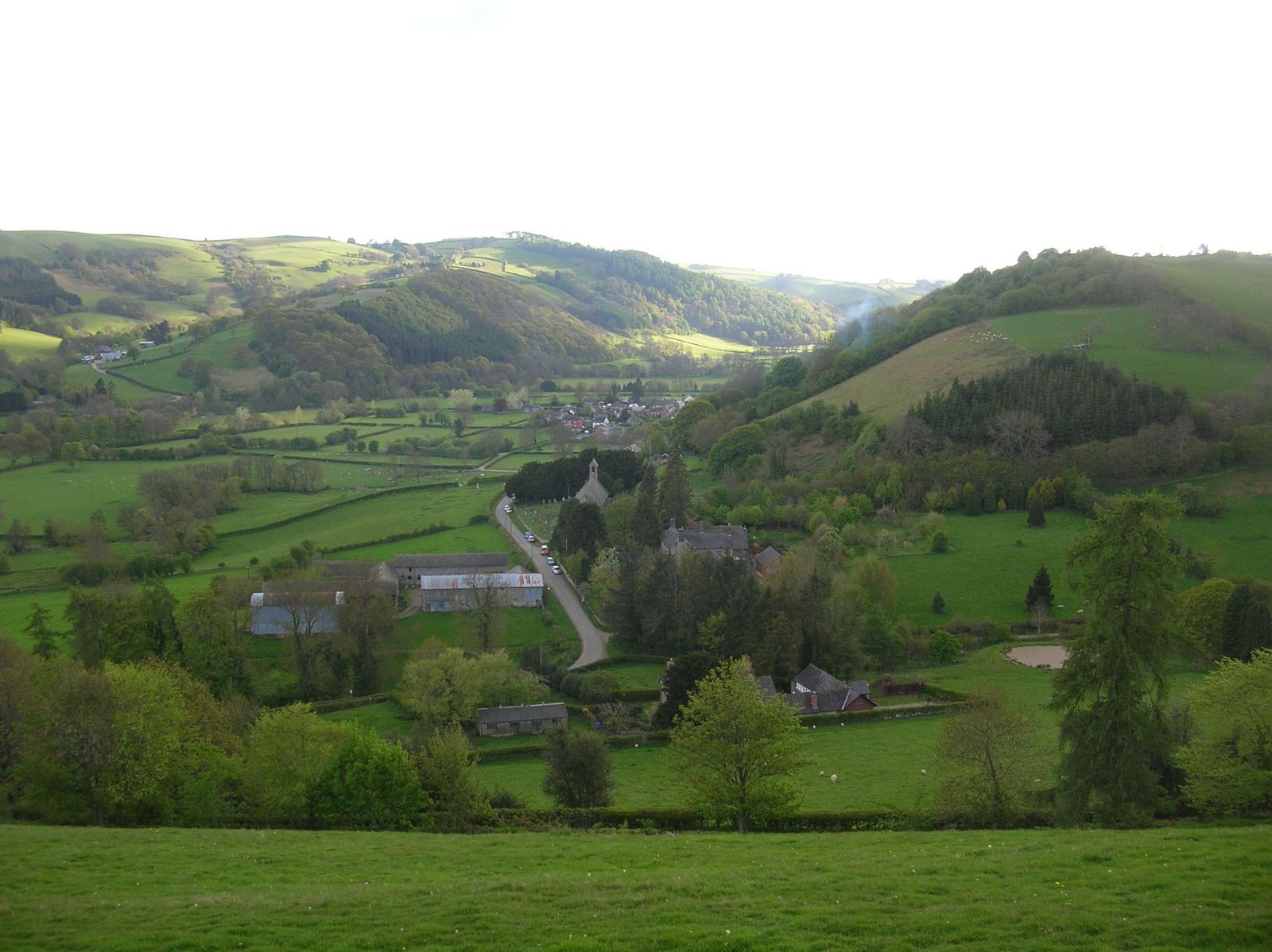
Hurgin Plantation Images

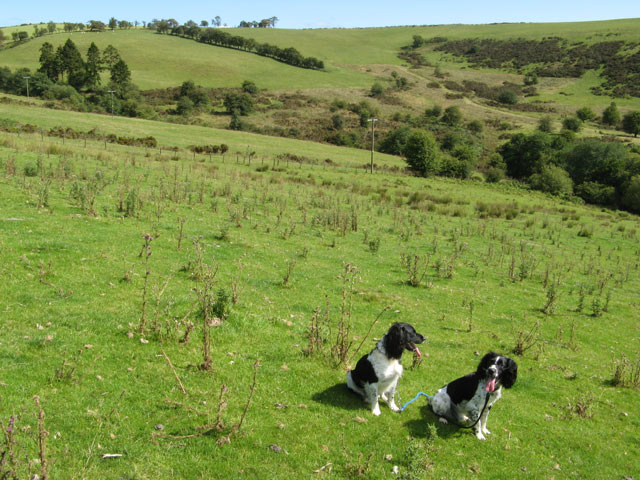
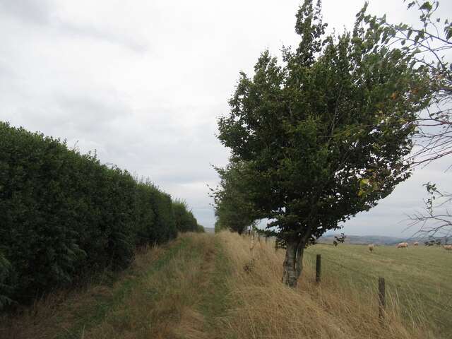
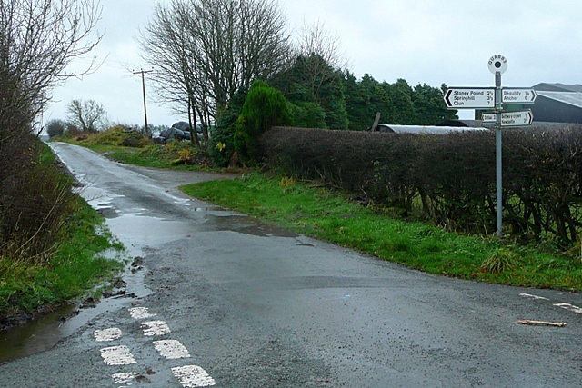
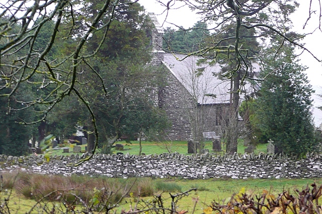
Images are sourced within 2km of 52.411088/-3.1349322 or Grid Reference SO2279. Thanks to Geograph Open Source API. All images are credited.

Track and rushes Rushes growing in a damp field astride a farm track.
Track and rushes
Rushes growing in a damp field astride a farm track.
Small quarry Informal quarries such as this used to provide all the local requirements for stone. It is interesting to see that this one has been worked recently to a limited extent. The rock here is a sandstone with overlying shales of the Cefn Einion Formation, of undecided late Silurian to early Devonian age - the uncertainty arising from a non-existent or sparse set of fossils used for dating. The only thing we could find was some burrowing preserved on the level bedding surfaces. See <a href="https://www.geograph.org.uk/photo/421631">SO2886 : Cefn Einion</a> for another locality.
Small quarry
Informal quarries such as this used to provide all the local requirements for stone. It is interesting to see that this one has been worked recently to a limited extent. The rock here is a sandstone with overlying shales of the Cefn Einion Formation, of undecided late Silurian to early Devonian age - the uncertainty arising from a non-existent or sparse set of fossils used for dating. The only thing we could find was some burrowing preserved on the level bedding surfaces. See SO2886 : Cefn Einion for another locality.
Footpath to Stoney Pound
High Hedgerows near Stoney Pound
Overgrown footpath near Hongrass This little used path heads towards Spoad Hill.
Overgrown footpath near Hongrass
This little used path heads towards Spoad Hill.
Head of the valley Looking down onto the wetland near to the head of the Crochen Brook, which almost reaches Stoney Pound. The form of the plateau with its deeply-incised valleys is easily appreciated from this altitude. Apart from a gate to aim for on the road above there is no marking for the bridleway on this stretch.
Head of the valley
Looking down onto the wetland near to the head of the Crochen Brook, which almost reaches Stoney Pound. The form of the plateau with its deeply-incised valleys is easily appreciated from this altitude. Apart from a gate to aim for on the road above there is no marking for the bridleway on this stretch.
Pasture below Hill House Steep fields running down to the Crochen Brook below Hill house and the road to Stoney Pound.
Pasture below Hill House
Steep fields running down to the Crochen Brook below Hill house and the road to Stoney Pound.
Puddles and trees The byway to Stoney Pound is very wet after recent rain. The trees at the bend are a landmark in this almost featureless summit area.
Puddles and trees
The byway to Stoney Pound is very wet after recent rain. The trees at the bend are a landmark in this almost featureless summit area.
Access land A curious triangle of common land on the summit above Llantroft <a href="https://www.geograph.org.uk/photo/2566212">SO2379 : Llantroft farm buildings</a>. The rough grazing contrasts with improved grass and cropped land nearby.
Access land
A curious triangle of common land on the summit above Llantroft SO2379 : Llantroft farm buildings. The rough grazing contrasts with improved grass and cropped land nearby.
Abandoned roller All the woodwork of this roller has rotted away, while the durability of cast-iron is demonstrated.
Abandoned roller
All the woodwork of this roller has rotted away, while the durability of cast-iron is demonstrated.
Clun Forest sheep, Dowke Hill On home ground. One of the two breeds originating in these hills.
Clun Forest sheep, Dowke Hill
On home ground. One of the two breeds originating in these hills.
View off Dowke Hill Towards Beacon Hill on the other side of the Teme.
View off Dowke Hill
Towards Beacon Hill on the other side of the Teme.
Track on Dowke Hill Passing the summit
Track on Dowke Hill
Passing the summit
Clun Forest Above Pant-y-cwm-hordie. (Spelling Shropshire Welsh names can be a challenge)
Clun Forest
Above Pant-y-cwm-hordie. (Spelling Shropshire Welsh names can be a challenge)
Clun Forest pasture
Clun Forest pasture
Ewe'll never get in.
Ewe're at Cwm Collo
Ewe're at Cwm Collo
Stream at Cwm Collo
Stream at Cwm Collo
Show me another place!

Hurgin Plantation is located at Grid Ref: SO2279 (Lat: 52.411088, Lng: -3.1349322)

Unitary Authority: Shropshire

Police Authority: West Mercia

What 3 Words

///dusty.above.umbrellas. Near Mainstone, Shropshire

Nearby Locations

Hurgin Plantation

Related Wikis

Quabbs

Quabbs is a small, scattered hamlet in the southwest of Shropshire, near the border between England and Wales. The name, which also occurs in Gloucestershire...

Bettws-y-Crwyn

Bettws-y-Crwyn (Welsh: Betws-y-crwyn / Betwsycrowyn) is a small, remote village and civil parish in south-west Shropshire, England. It is close to the...

Newcastle, Shropshire

Newcastle is a village in the rural south west of Shropshire, England. It lies at the confluence of the River Clun and the Folly Brook, 3 miles west of...

Beguildy

Beguildy (Welsh: Bugeildy) is a village and community in Powys, Wales. It lies in a remote tract of countryside, 8 miles (13 km) northwest of Knighton...

Have you been to Hurgin Plantation?

Leave your review of Hurgin Plantation below (or comments, questions and feedback).