Hawk's Moor
Wood, Forest in Somerset Somerset West and Taunton
England
Hawk's Moor
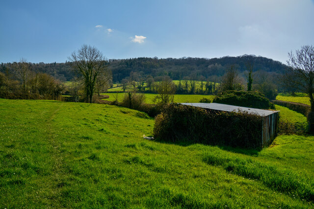
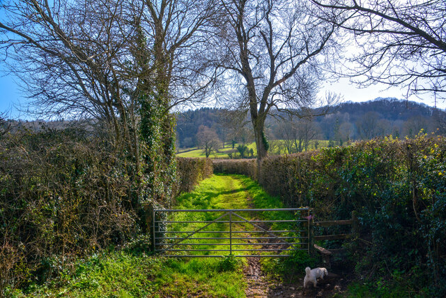
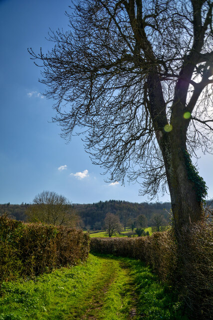
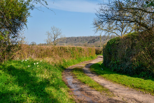
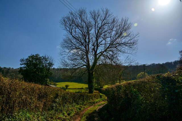
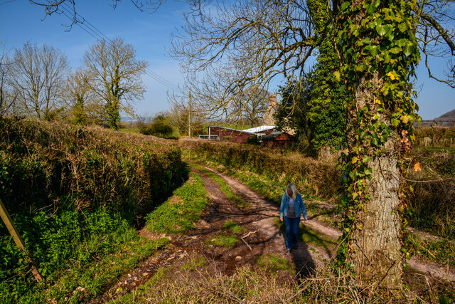
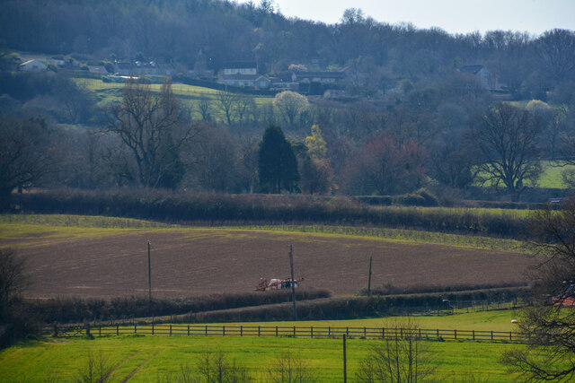
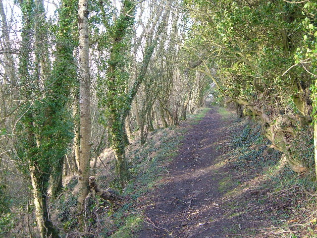
Hawk's Moor, located in Somerset, England, is a picturesque woodland area known for its natural beauty and rich biodiversity. Spanning over several hectares, this ancient forest is a haven for wildlife enthusiasts, hikers, and nature lovers alike.
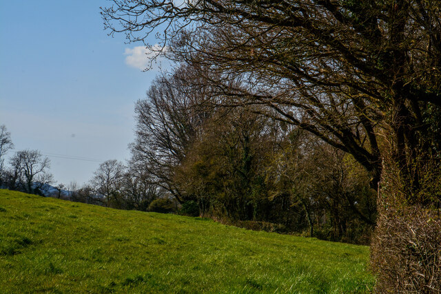
The moor is characterized by a diverse range of trees, including oak, beech, and birch, which create a lush canopy and provide a habitat for various bird species. The forest floor is adorned with a carpet of wildflowers during the spring and summer months, adding to the area's charm and appeal.
The tranquil atmosphere of Hawk's Moor is further enhanced by the presence of a babbling brook that meanders through the woodland, offering a peaceful soundtrack to visitors exploring the area. The stream is also home to a variety of aquatic species, such as trout and freshwater insects.
Visitors to Hawk's Moor can enjoy a network of well-maintained walking trails that wind through the forest, offering breathtaking views and an opportunity to spot wildlife. The moor is particularly renowned for its population of birds of prey, including hawks and buzzards, which can often be seen soaring above the treetops.
Additionally, Hawk's Moor boasts a rich history, with evidence of human habitation dating back centuries. Ancient ruins and stone circles can be found scattered throughout the forest, adding an air of mystique and intrigue to the area.
Overall, Hawk's Moor in Somerset is a captivating woodland retreat that showcases the beauty and diversity of nature. Whether one seeks solace, adventure, or a deeper connection with the natural world, this enchanting forest offers a truly unforgettable experience.
If you have any feedback on the listing, please let us know in the comments section below.
Hawk's Moor Images
Images are sourced within 2km of 50.945867/-3.1007086 or Grid Reference ST2216. Thanks to Geograph Open Source API. All images are credited.


Hawk's Moor is located at Grid Ref: ST2216 (Lat: 50.945867, Lng: -3.1007086)
Administrative County: Somerset
District: Somerset West and Taunton
Police Authority: Avon and Somerset
What 3 Words
///tastier.womb.removes. Near Taunton, Somerset
Nearby Locations
Related Wikis
Prior's Park & Adcombe Wood
Prior's Park & Adcombe Wood (grid reference ST225170) is a 103.6 hectare (256.0 acre) biological Site of Special Scientific Interest south of Pitminster...

Staple Hill (Somerset)
Staple Hill is a hill in the English county of Somerset, the highest point in the Blackdown Hills. It is classed as both a Marilyn and a Hardy.This is...

Deadman SSSI, Somerset
Deadman (grid reference ST234156) is a 28.8 hectare (71.2 acre) biological Site of Special Scientific Interest on the edge of the Blackdown Hills, near...

Ruttersleigh
Ruttersleigh (grid reference ST250165) is a 97 hectares (240 acres) biological Site of Special Scientific Interest between Buckland St Mary and Staple...

Otterford
Otterford is a village and civil parish in Somerset, England. It is situated on the Blackdown Hills, 7 miles (11.3 km) south of Taunton. The village has...

Church of St Leonard, Otterford
The Anglican Church of St Leonard in Otterford, Somerset, England was built in the 14th century. It is a Grade II* listed building. == History == The church...
Pitminster
Pitminster is a village and civil parish in Somerset, England, situated 4 miles (6.4 km) south of Taunton. The parish has a population of 956. The parish...

RAF Culmhead
Royal Air Force Culmhead or more simply RAF Culmhead is a former Royal Air Force station, situated at Churchstanton on the Blackdown Hills in Somerset...
Related Videos

How to create a holiday let - My story - How to become a property developer
George Bannister is the owner of BlackOak Ltd, Otterhead House & The Old Chicken House based nearTaunton, Somerset UK ...

Intro to the formula to creating a profitable holiday let - How to become a property developer
George Bannister is the owner of BlackOak Ltd, Otterhead House & The Old Chicken House based nearTaunton, Somerset UK ...

How to combat overwhelm - Holiday let edition - How to become a property developer
George Bannister is the owner of BlackOak Ltd, Otterhead House & The Old Chicken House based nearTaunton, Somerset UK ...
#147 The Cottage- Award winning Home / Holiday Let
First video after winning the daily telegraph home building and renovating best renovation award 2020.
Nearby Amenities
Located within 500m of 50.945867,-3.1007086Have you been to Hawk's Moor?
Leave your review of Hawk's Moor below (or comments, questions and feedback).