Widcombe

Settlement in Somerset Somerset West and Taunton

England

Widcombe

Holman Clavel Inn
Holman Clavel Inn Credit: Rob Purvis

Widcombe is a small village located in the county of Somerset, England. Situated just two miles south-east of Bath, it is part of the Bath and North East Somerset district. The village is nestled in a picturesque valley, surrounded by lush green countryside and rolling hills.

Widcombe is known for its charming and quaint atmosphere, offering a peaceful and idyllic escape from the hustle and bustle of city life. The village is primarily residential, with a population of around 1,500 people. The architecture in Widcombe is predominantly made up of traditional stone cottages, giving it a timeless and classic feel.

One of the main attractions in Widcombe is the historic Widcombe Manor, a Grade II listed building dating back to the 18th century. The manor is surrounded by beautiful gardens, which are open to the public during certain times of the year. Additionally, there are several walking trails and footpaths that provide stunning views of the surrounding countryside.

Widcombe is well-connected to nearby towns and cities, with regular bus services and a train station located within the village. This makes it a convenient base for exploring the wider Somerset region, including the nearby city of Bath, famous for its Roman baths and Georgian architecture.

Overall, Widcombe is a charming and picturesque village, offering a tranquil and scenic retreat for both residents and visitors alike. Its rich history, beautiful surroundings, and convenient location make it a popular destination for those seeking a slice of rural English life.

If you have any feedback on the listing, please let us know in the comments section below.
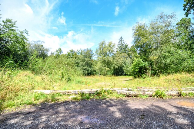
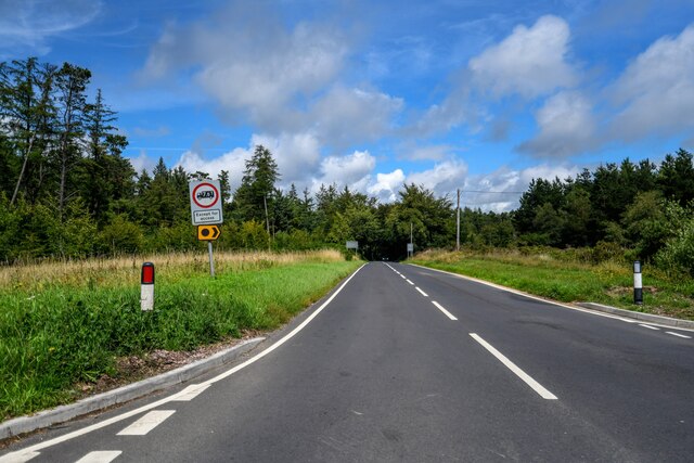
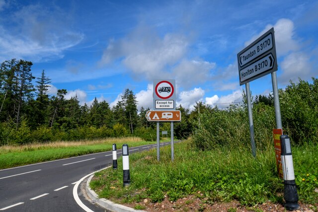
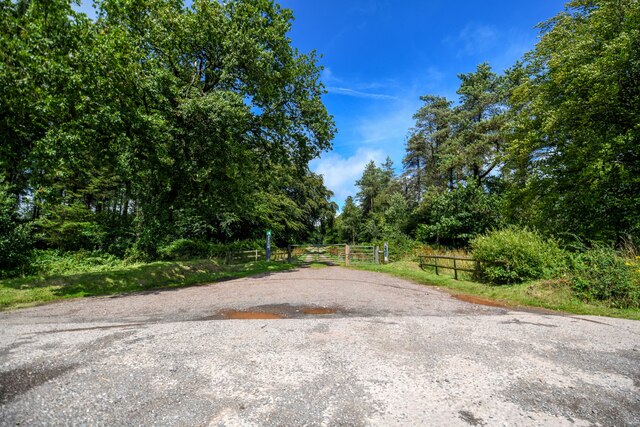
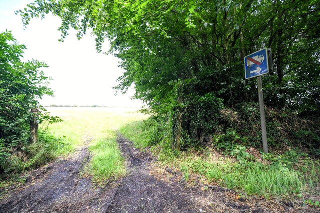
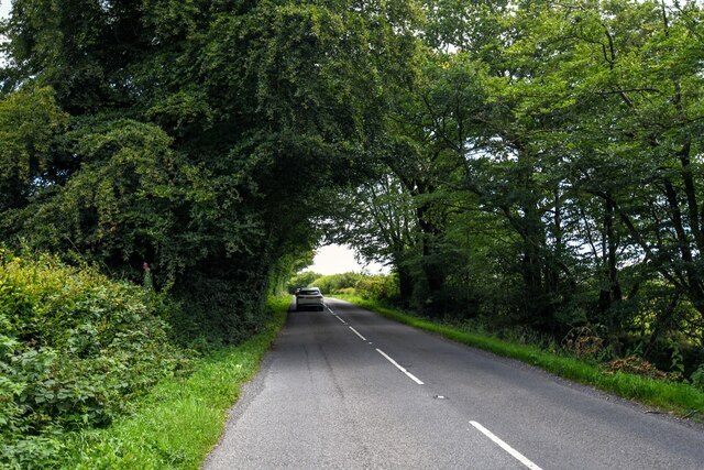
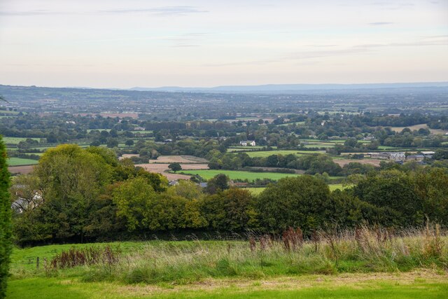
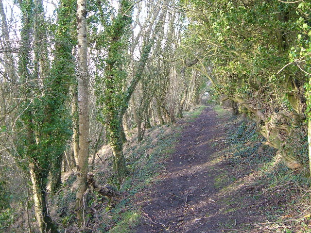
Widcombe Images

Images are sourced within 2km of 50.938422/-3.1082183 or Grid Reference ST2216. Thanks to Geograph Open Source API. All images are credited.

Holman Clavel Inn
Holman Clavel Inn
Old Milepost by B3170, near Walland Farm and cross roads at North Down The Milepost is located on grassy bank on the East of the road.  Parish of Otterford (Taunton Deane District). Cast iron post, Taunton Allen iron casting design, erected by the Local Highways Board in the 19th Century, repainted by SCC in 2007 but already going rusty. An earlier photograph can be found here: <a title="https://www.geograph.org.uk/photo/6051358" href="https://www.geograph.org.uk/photo/6051358">Link</a> 

Inscription reads:-  HONITON / 11 3/8 / : : TAUNTON / 7  

Grade II listed. List Entry Number: 1060231 <span class="nowrap"><a title="https://historicengland.org.uk/listing/the-list/list-entry/1060231" rel="nofollow ugc noopener" href="https://historicengland.org.uk/listing/the-list/list-entry/1060231">Link</a><img style="margin-left:2px;" alt="External link" title="External link - shift click to open in new window" src="https://s1.geograph.org.uk/img/external.png" width="10" height="10"/></span> 

Milestone Society National ID: SO_TAHO07
Old Milepost by B3170, near Walland Farm and cross roads at North Down
The Milepost is located on grassy bank on the East of the road.  Parish of Otterford (Taunton Deane District). Cast iron post, Taunton Allen iron casting design, erected by the Local Highways Board in the 19th Century, repainted by SCC in 2007 but already going rusty. An earlier photograph can be found here: Link  Inscription reads:- HONITON / 11 3/8 / : : TAUNTON / 7 Grade II listed. List Entry Number: 1060231 LinkExternal link Milestone Society National ID: SO_TAHO07
Pitminster : Blackdown Hill Looking along Blackdown Hill.
Pitminster : Blackdown Hill
Looking along Blackdown Hill.
Pitminster : Blackdown Hill Looking along Blackdown Hill.
Pitminster : Blackdown Hill
Looking along Blackdown Hill.
Pitminster : Track A track to Culmhead House of Blackdown Hill.
Pitminster : Track
A track to Culmhead House of Blackdown Hill.
Otterford : Widcombe - Holman Clavel A road heading through Widcombe.
Otterford : Widcombe - Holman Clavel
A road heading through Widcombe.
Otterford : Widcombe - Holman Clavel Looking along the road.
Otterford : Widcombe - Holman Clavel
Looking along the road.
Otterford : Roadside Looking alongside Neroche Road.
Otterford : Roadside
Looking alongside Neroche Road.
Otterford : B3170 Looking along the B3170.
Otterford : B3170
Looking along the B3170.
Otterford : B3170 Looking along the B3170.
Otterford : B3170
Looking along the B3170.
Otterford : North Down A track leading to North Down Plantation.
Otterford : North Down
A track leading to North Down Plantation.
Staple Fitzpaine : Track A track into the grassy field off Neroche Road.
Staple Fitzpaine : Track
A track into the grassy field off Neroche Road.
Staple Fitzpaine : Neroche Road Looking along Neroche Road.
Staple Fitzpaine : Neroche Road
Looking along Neroche Road.
Pitminster : Blagdon Hill - Road A road heads through Blagdon Hill.
Pitminster : Blagdon Hill - Road
A road heads through Blagdon Hill.
Pitminster : Blagdon Hill - Countryside Scenery Looking out across the countryside near the town of Taunton.
Pitminster : Blagdon Hill - Countryside Scenery
Looking out across the countryside near the town of Taunton.
Pitminster : Blagdon Hill - Road A road heads down the hill.
Pitminster : Blagdon Hill - Road
A road heads down the hill.
Pitminster : Blagdon Hill - Countryside Scenery Looking across the countryside from the hill.
Pitminster : Blagdon Hill - Countryside Scenery
Looking across the countryside from the hill.
Pitminster : Blagdon Hill - Covered Reservoir A water facility on Blagdon Hill.
Pitminster : Blagdon Hill - Covered Reservoir
A water facility on Blagdon Hill.
Show me another place!

Widcombe is located at Grid Ref: ST2216 (Lat: 50.938422, Lng: -3.1082183)

Administrative County: Somerset

District: Somerset West and Taunton

Police Authority: Avon and Somerset

What 3 Words

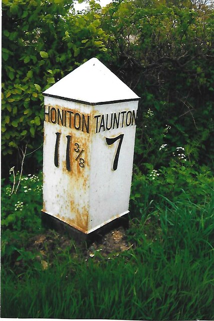
///frightens.teacher.doll. Near Taunton, Somerset

Related Wikis

Prior's Park & Adcombe Wood

Prior's Park & Adcombe Wood (grid reference ST225170) is a 103.6 hectare (256.0 acre) biological Site of Special Scientific Interest south of Pitminster...

Deadman SSSI, Somerset

Deadman (grid reference ST234156) is a 28.8 hectare (71.2 acre) biological Site of Special Scientific Interest on the edge of the Blackdown Hills, near...

Otterford

Otterford is a village and civil parish in Somerset, England. It is situated on the Blackdown Hills, 7 miles (11.3 km) south of Taunton. The village has...

Church of St Leonard, Otterford

The Anglican Church of St Leonard in Otterford, Somerset, England was built in the 14th century. It is a Grade II* listed building. == History == The church...

Nearby Amenities

Located within 500m of 50.938422,-3.1082183
Source of River Culm
Natural: spring
Lat/Long: 50.9377168/-3.1097641
Brand: National Grid
Brand Wikidata: Q1465461
Devices: 1
Location: outdoor
Operator: National Grid Electricity Distribution Plc
Operator Old: Western Power Distribution
Operator Wikidata: Q7988183
Owner: National Grid Electricity Distribution (South West) Plc
Owner Wikidata: Q114397866
Phases: 3
Power: transformer
Transformer: distribution
Lat/Long: 50.9385041/-3.1119181
Give Way
Direction: forward
Lat/Long: 50.937683/-3.107356
Give Way
Direction: forward
Lat/Long: 50.937723/-3.107288
Give Way
Direction: forward
Lat/Long: 50.9382346/-3.1081207
Give Way
Direction: backward
Lat/Long: 50.9382801/-3.1080585
Give Way
Direction: forward
Lat/Long: 50.9383368/-3.1079289
Give Way
Direction: forward
Lat/Long: 50.9384391/-3.1082588
Give Way
Direction: backward
Lat/Long: 50.9391908/-3.1049606
Give Way
Lat/Long: 50.9396042/-3.1037657
Give Way
Direction: forward
Lat/Long: 50.9371562/-3.1085365
Give Way
Direction: backward
Lat/Long: 50.9372333/-3.108518
Man Made: water_tower
Operator: Wessex Water
Lat/Long: 50.9356833/-3.1113035
Communication Mobile Phone: yes
Height: 42
Man Made: tower
Operator: Vodafone
Ref: 248
Technology: GSM 900
Tower Construction: lattice
Tower Material: metal
Tower Type: communication
Lat/Long: 50.9359681/-3.111506
Brand: National Grid
Brand Wikidata: Q1465461
Material: wood
Operator: National Grid Electricity Distribution Plc
Operator Old: Western Power Distribution
Operator Wikidata: Q7988183
Owner: National Grid Electricity Distribution (South West) Plc
Owner Wikidata: Q114397866
Power: pole
Lat/Long: 50.9363231/-3.1140688
Brand: National Grid
Brand Wikidata: Q1465461
Material: wood
Operator: National Grid Electricity Distribution Plc
Operator Old: Western Power Distribution
Operator Wikidata: Q7988183
Owner: National Grid Electricity Distribution (South West) Plc
Owner Wikidata: Q114397866
Power: pole
Lat/Long: 50.9369054/-3.1127317
Brand: National Grid
Brand Wikidata: Q1465461
Material: wood
Operator: National Grid Electricity Distribution Plc
Operator Old: Western Power Distribution
Operator Wikidata: Q7988183
Owner: National Grid Electricity Distribution (South West) Plc
Owner Wikidata: Q114397866
Power: pole
Lat/Long: 50.9375443/-3.1120008
Brand: National Grid
Brand Wikidata: Q1465461
Material: wood
Operator: National Grid Electricity Distribution Plc
Operator Old: Western Power Distribution
Operator Wikidata: Q7988183
Owner: National Grid Electricity Distribution (South West) Plc
Owner Wikidata: Q114397866
Power: pole
Lat/Long: 50.9381654/-3.1112793
Brand: National Grid
Brand Wikidata: Q1465461
Design: h-frame
Material: wood
Operator: National Grid Electricity Distribution Plc
Operator Old: Western Power Distribution
Operator Wikidata: Q7988183
Owner: National Grid Electricity Distribution (South West) Plc
Owner Wikidata: Q114397866
Power: pole
Lat/Long: 50.9383886/-3.1115234
Brand: National Grid
Brand Wikidata: Q1465461
Design: h-frame
Material: wood
Operator: National Grid Electricity Distribution Plc
Operator Old: Western Power Distribution
Operator Wikidata: Q7988183
Owner: National Grid Electricity Distribution (South West) Plc
Owner Wikidata: Q114397866
Power: pole
Lat/Long: 50.938413/-3.1117138
Power: pole
Lat/Long: 50.9425277/-3.1067544
Power: pole
Lat/Long: 50.9416218/-3.1074384
Power: pole
Lat/Long: 50.9406635/-3.1086481
Power: pole
Lat/Long: 50.9401244/-3.1093401
Power: pole
Lat/Long: 50.9394204/-3.1102252
Power: pole
Lat/Long: 50.9379524/-3.1136933
Power: pole
Lat/Long: 50.9390072/-3.1146804
The data included in this document is from www.openstreetmap.org. The data is made available under ODbL.

Have you been to Widcombe?

Leave your review of Widcombe below (or comments, questions and feedback).