Wideopen

Settlement in Northumberland

England

Wideopen

New Housing Development, Havannah Park New development west of Hazlerigg, north of Havannah Nature Reserve
New Housing Development, Havannah Park Credit: David Robinson

Wideopen is a village located in the county of Northumberland, in the northeast region of England. Situated approximately 8 miles north of Newcastle upon Tyne, it falls within the administrative boundaries of the metropolitan borough of North Tyneside.

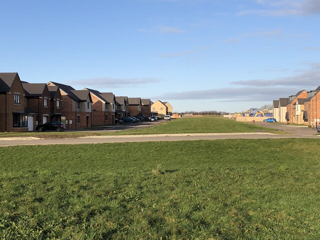
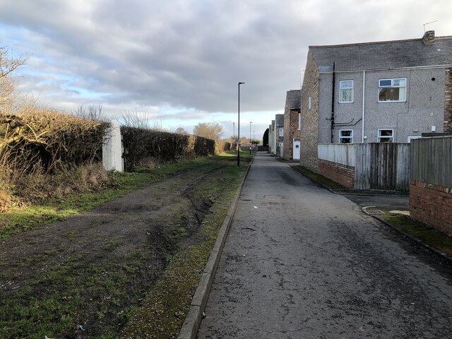
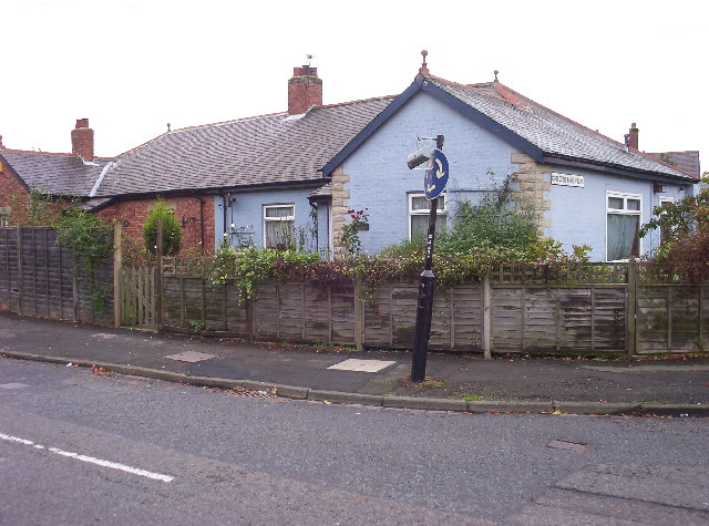
With a population of around 9,000 residents, Wideopen is a residential area known for its peaceful and family-friendly atmosphere. The village offers a mix of housing options, from traditional cottages to modern developments, catering to a range of budgets and preferences.

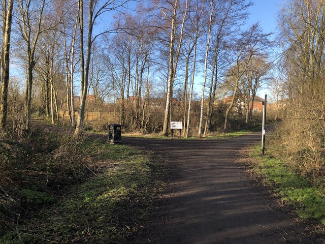
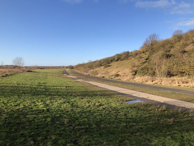
Wideopen benefits from its proximity to both urban and rural landscapes. On one side, it is surrounded by the picturesque countryside of Northumberland, characterized by rolling hills, open fields, and scenic walking trails. On the other side, it is conveniently located near Newcastle upon Tyne, a vibrant city known for its cultural heritage, shopping districts, and entertainment venues.

The village boasts a number of amenities, including shops, supermarkets, pubs, and restaurants, providing residents with easy access to everyday necessities and leisure activities. It also benefits from excellent transport links, with regular bus services connecting Wideopen to nearby towns and cities, as well as the A1 road providing convenient access to other parts of the region.

Wideopen is also home to several schools, making it an attractive location for families. It offers a range of educational options, including primary schools and a secondary school, ensuring that children have access to quality education within the village itself.

Overall, Wideopen offers a desirable combination of rural charm and urban convenience, making it an appealing place to live for those seeking a peaceful residential area within easy reach of both countryside and city amenities.

If you have any feedback on the listing, please let us know in the comments section below.
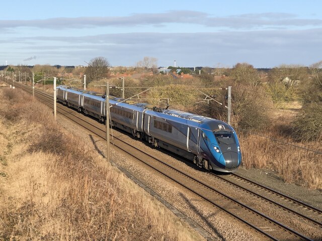
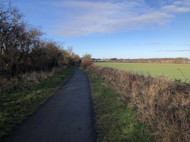
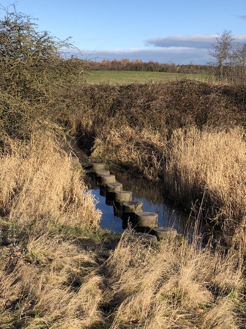
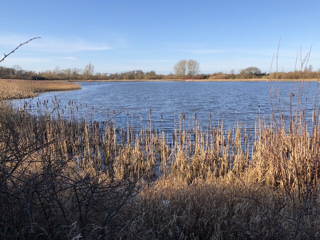
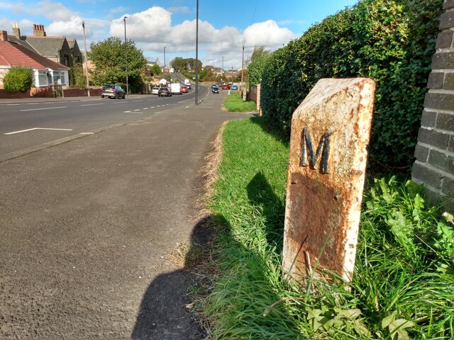
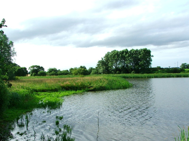
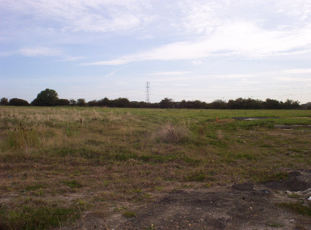
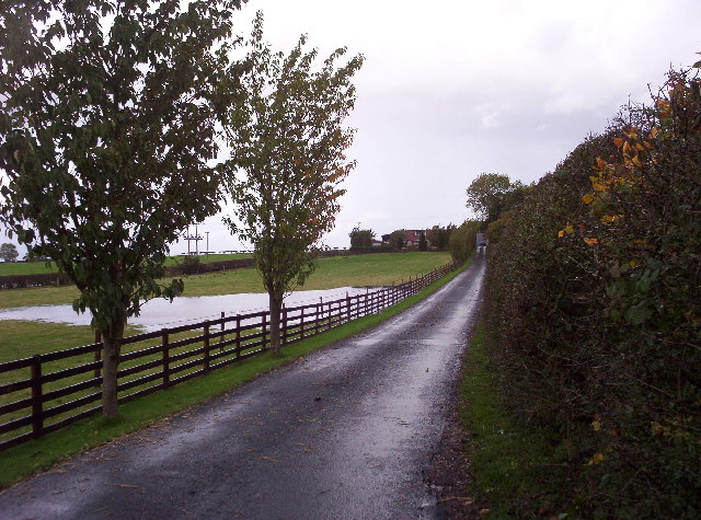
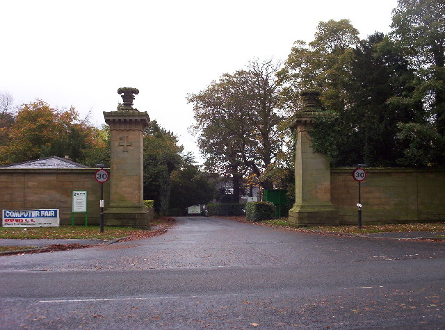
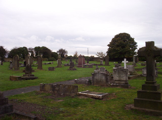
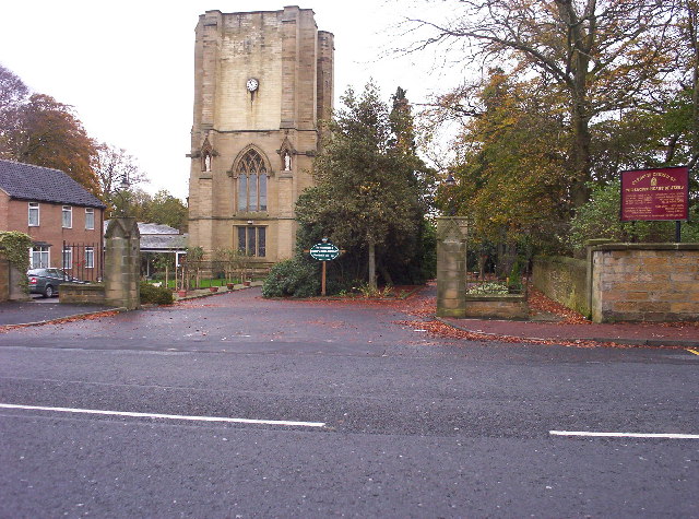
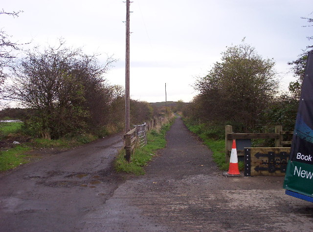
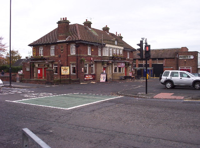
Wideopen Images

Images are sourced within 2km of 55.047832/-1.623754 or Grid Reference NZ2472. Thanks to Geograph Open Source API. All images are credited.

New Housing Development, Havannah Park New development west of Hazlerigg, north of Havannah Nature Reserve
New Housing Development, Havannah Park
New development west of Hazlerigg, north of Havannah Nature Reserve
End-terrace houses, Hazlerigg A series of terraces ending perpendicular to a run of allotments.
End-terrace houses, Hazlerigg
A series of terraces ending perpendicular to a run of allotments.
Former Mineral Railway Junction Junction of the former Seaton Burn Waggonway (branching right) and Fawdon Waggonway (branching left). The waggonways were upgraded from horse / rope haulage to railways in the late 1800s and continued to operate into the 1960s. This section of the route is now bridleway.
Former Mineral Railway Junction
Junction of the former Seaton Burn Waggonway (branching right) and Fawdon Waggonway (branching left). The waggonways were upgraded from horse / rope haulage to railways in the late 1800s and continued to operate into the 1960s. This section of the route is now bridleway.
Former site of Weetslade Colliery The heavily mined area has been landscaped and is now Weetslade Country Park. The path in the image follows the route of the mineral railway while the higher ground to the right is the landscaped pit heap, affording views to the coast and Cheviot hills. The colliery itself was to the left and behind the camera, and was linked to the nearby Burradon colliery.
Former site of Weetslade Colliery
The heavily mined area has been landscaped and is now Weetslade Country Park. The path in the image follows the route of the mineral railway while the higher ground to the right is the landscaped pit heap, affording views to the coast and Cheviot hills. The colliery itself was to the left and behind the camera, and was linked to the nearby Burradon colliery.
TransPennine Express Train A class 802 multiple unit operating a TransPennine Express service from Edinburgh - Newcastle.
TransPennine Express Train
A class 802 multiple unit operating a TransPennine Express service from Edinburgh - Newcastle.
Seatonburn Waggonway Former waggonway and later railway serving Seaton Burn colliery. The line connected with the Fawdon waggonway at Wideopen, taking coals from several collieries to the Tyne. This section of the route is now a bridleway.
Seatonburn Waggonway
Former waggonway and later railway serving Seaton Burn colliery. The line connected with the Fawdon waggonway at Wideopen, taking coals from several collieries to the Tyne. This section of the route is now a bridleway.
Stepping Stones, Big Waters Nature Reserve
Big Waters Nature Reserve The Nature Reserve makes use of a large pond area that formed over collapsed mine workings beneath the Hartley Burn.
Big Waters Nature Reserve
The Nature Reserve makes use of a large pond area that formed over collapsed mine workings beneath the Hartley Burn.
Old Milepost by the B1318, in Wideopen Metal post with attached metal plate by the B1318, in parish of Wideopen (North Tyneside District), Great North Road, by footpath in front of blue brick wall, on East side of road. Morpeth/Newcastle iron post, erected by the Cow-causey & Buckton-Burn turnpike trust in the 19th century. 

Inscription reads:-
: N / 6 : : M / 8¾ :
(To Newcastle and Morpeth)

Grade II listed.
List Entry Number: 1450225 <span class="nowrap"><a title="https://historicengland.org.uk/listing/the-list/list-entry/1450225" rel="nofollow ugc noopener" href="https://historicengland.org.uk/listing/the-list/list-entry/1450225">Link</a><img style="margin-left:2px;" alt="External link" title="External link - shift click to open in new window" src="https://s1.geograph.org.uk/img/external.png" width="10" height="10"/></span>

Milestone Society National ID: NB_NCMP06
Old Milepost by the B1318, in Wideopen
Metal post with attached metal plate by the B1318, in parish of Wideopen (North Tyneside District), Great North Road, by footpath in front of blue brick wall, on East side of road. Morpeth/Newcastle iron post, erected by the Cow-causey & Buckton-Burn turnpike trust in the 19th century. Inscription reads:- : N / 6 : : M / 8¾ : (To Newcastle and Morpeth) Grade II listed. List Entry Number: 1450225 LinkExternal link Milestone Society National ID: NB_NCMP06
Big Waters Nature Reserve A man made lake which is home to many species of birds and also otter
Big Waters Nature Reserve
A man made lake which is home to many species of birds and also otter
Newcastle Great Park A part of Great Park to the north of Newcastle - this area is earmarked for considerable development over the next few years.  Clearly, not much development has happened here yet.
Newcastle Great Park
A part of Great Park to the north of Newcastle - this area is earmarked for considerable development over the next few years. Clearly, not much development has happened here yet.
Morley Hill Farm View shows the farmhouse at Morley Hill Farm from the end of its long driveway. The farm is just north of the Havannah Nature Reserve.
Morley Hill Farm
View shows the farmhouse at Morley Hill Farm from the end of its long driveway. The farm is just north of the Havannah Nature Reserve.
Gates of Newcastle Racecourse View shows the imposing entrance to Newcastle Racecourse.  I don't know the significance of the cross-and-circle motif on the gateposts.
Gates of Newcastle Racecourse
View shows the imposing entrance to Newcastle Racecourse. I don't know the significance of the cross-and-circle motif on the gateposts.
North Gosforth Cemetery This Roman Catholic cemetery is one of Newcastle's smallest burial grounds.
North Gosforth Cemetery
This Roman Catholic cemetery is one of Newcastle's smallest burial grounds.
Sacred Heart Church The Catholic Church of the Sacred Heart of Jesus.  This church is directly opposite North Gosforth Cemetery - I think it's safe to assume they're linked. See <span class="nowrap"><a title="http://www.sacredheartng.org.uk/history.htm" rel="nofollow ugc noopener" href="http://www.sacredheartng.org.uk/history.htm">Link</a><img style="margin-left:2px;" alt="External link" title="External link - shift click to open in new window" src="https://s1.geograph.org.uk/img/external.png" width="10" height="10"/></span> for the history of the church.
Sacred Heart Church
The Catholic Church of the Sacred Heart of Jesus. This church is directly opposite North Gosforth Cemetery - I think it's safe to assume they're linked. See LinkExternal link for the history of the church.
Gosforth Park Villas You'd expect the cottage on the right to be called 'Blue House' or something, wouldn't you?  Well it isn't - it's called 'Rose Cottage'.
Gosforth Park Villas
You'd expect the cottage on the right to be called 'Blue House' or something, wouldn't you? Well it isn't - it's called 'Rose Cottage'.
Disused Wagonway Looking east along an old wagonway which has been reclaimed for use as a public footpath.
Disused Wagonway
Looking east along an old wagonway which has been reclaimed for use as a public footpath.
Travellers Rest A large, food-oriented pub in a busy residential area.
Travellers Rest
A large, food-oriented pub in a busy residential area.
Show me another place!

Wideopen is located at Grid Ref: NZ2472 (Lat: 55.047832, Lng: -1.623754)

Unitary Authority: North Tyneside

Police Authority: Northumbria

What 3 Words

///grabs.slope.plants. Near Wideopen, Northumberland

Nearby Locations

Wide Open Wideopen

Related Wikis

Wideopen

Wideopen, also occasionally misspelled as Wide Open, is a village in the North Tyneside metropolitan borough of Tyne and Wear, England, around 5 miles...

Hazlerigg

Hazlerigg (often misspelled Hazelrigg) is a village and civil parish north of the City of Newcastle upon Tyne in Tyne and Wear, England. It is about 5...

Sacred Heart Church, North Gosforth

The Sacred Heart Church is a Roman Catholic church and ecclesiastical parish in North Gosforth, Newcastle upon Tyne. It is part of the Roman Catholic Diocese...

Brunswick Village

Brunswick Village is a village split between North Tyneside and Newcastle upon Tyne, Tyne and Wear, England. It is situated approximately 6 miles north...

Related Videos

Travel To UK 🇬🇧Competition! First Trip to UK, මගේ පලමු UK ගමන Vlog, 2වන International Competition

Travel To UK Competition! First Trip to UK, මගේ පලමු UK ගමන Vlog, 2වන International Competition ...

Tyne & Wear Heritage Way - Stages 3&4 - Burradon to Ponteland to Wylam

Stage 3 - Burradon to Ponteland, 8.5 miles. Passing almost straight away through the beautiful Weetslade County Park then Big ...

Garden Update: Post Holiday Catch up

We have been away with the caravan . First proper break since before the end of March. The Rhubarb is still growing strong and ...

Weetslade Country Park Walk

A quick walk through Weetslade Country Park in Dudley, Cramlington, Northumberland. Weetslade Country Park - Cramlington ...

Nearby Amenities

Located within 500m of 55.047832,-1.623754
Mini Roundabout
Direction: clockwise
Lat/Long: 55.0481766/-1.6286022
Traffic Signals
Lat/Long: 55.0478517/-1.6237655
Wideopen
Alt Name: Wide Open
Place: village
Wikidata: Q9372539
Lat/Long: 55.045797/-1.6217734
Bus Stop
WIDEOPEN
Bench: yes
Bus: yes
Local Ref: E
Naptan AtcoCode: 410000002038
Naptan Bearing: E
Naptan CommonName: WIDEOPEN
Naptan Indicator: E
Naptan Landmark: JUNCTION STALKS ROAD-PARK VIEW
Naptan NaptanCode: twradgad
Naptan Street: STALKS ROAD
Naptan Verified: no
Public Transport: platform
Shelter: yes
Source: naptan_import
Lat/Long: 55.0477095/-1.6242284
Bus Stop
STALKS ROAD-W/B
Bench: no
Bus: yes
Local Ref: W
Naptan AtcoCode: 410000002039
Naptan Bearing: W
Naptan CommonName: STALKS ROAD-W/B
Naptan Indicator: W
Naptan Landmark: OPPOSITE HALTON DRIVE
Naptan NaptanCode: twradgag
Naptan Street: STALKS ROAD
Naptan Verified: no
Public Transport: platform
Shelter: no
Source: naptan_import
Lat/Long: 55.0480605/-1.6273241
Bus Stop
STALKS ROAD-E/B
Bench: yes
Bus: yes
Local Ref: E
Naptan AtcoCode: 410000002057
Naptan Bearing: E
Naptan CommonName: STALKS ROAD-E/B
Naptan Indicator: E
Naptan Landmark: OUTSIDE HALTON DRIVE
Naptan NaptanCode: twradgjt
Naptan Street: STALKS RD
Naptan Verified: no
Public Transport: platform
Shelter: yes
Source: naptan_import
Lat/Long: 55.0481833/-1.6281074
Bus Stop
GREENFIELDS COMMUNITY PRIMARY SCHOOL
Local Ref: W
Naptan AtcoCode: 410000000034
Naptan Bearing: W
Naptan CommonName: GREENFIELDS COMMUNITY PRIMARY SCHOOL
Naptan Indicator: W
Naptan Landmark: OUTSIDE GREENFIELDS COMMUNITY PRIMARY SCHOOL
Naptan NaptanCode: twrgtwam
Naptan Street: TAYLOR AVENUE
Naptan Verified: no
Source: naptan_import
Lat/Long: 55.0498981/-1.6200131
Bus Stop
Great North Road-Harrow Gardens
Bench: yes
Bus: yes
Departures Board: timetable
Local Ref: N
Naptan AtcoCode: 410000002005
Naptan Bearing: N
Naptan Indicator: N-Bound
Naptan Landmark: Opposite The Villas
Naptan NaptanCode: twradajp
Naptan Street: Great North Road
Naptan Verified: no
Public Transport: platform
Shelter: yes
Source: naptan_import
Lat/Long: 55.0453098/-1.622488
Bus Stop
WIDEOPEN
Bench: yes
Bin: yes
Bus: yes
Local Ref: N
Naptan AtcoCode: 410000002006
Naptan Bearing: N
Naptan CommonName: WIDEOPEN
Naptan Indicator: N
Naptan Landmark: OPPOSITE ENTRANCE WIDEOPEN MIDDLE SCHOOL
Naptan NaptanCode: twradajt
Naptan Street: GT NORTH ROAD
Naptan Verified: no
Public Transport: platform
Shelter: yes
Source: naptan_import
Lat/Long: 55.0485274/-1.624252
Bus Stop
Great North Road
Bench: yes
Bin: yes
Bus: yes
Departures Board: timetable
Local Ref: S
Naptan AtcoCode: 410000002015
Naptan Bearing: S
Naptan CommonName: GREAT NORTH ROAD-WEST VIEW-S/B
Naptan Indicator: S
Naptan Landmark: BESIDE MITFORD GNDS
Naptan NaptanCode: twradamw
Naptan Street: GT NORTH ROAD
Naptan Verified: no
Public Transport: platform
Shelter: yes
Source: naptan_import
Lat/Long: 55.0508131/-1.625295
Bus Stop
Wideopen
Bench: yes
Bin: yes
Bus: yes
Departures Board: timetable
Local Ref: S
Naptan AtcoCode: 410000002016
Naptan Bearing: S
Naptan Indicator: S-Bound
Naptan Landmark: Next To Park-Sports Ground
Naptan NaptanCode: twradapa
Naptan Street: B1318
Naptan Verified: no
Public Transport: platform
Shelter: yes
Source: naptan_import
Lat/Long: 55.0473898/-1.6233465
Bus Stop
Great North Road
Bench: yes
Bin: yes
Bus: yes
Departures Board: timetable
Lit: yes
Local Ref: S
Naptan AtcoCode: 410000002017
Naptan Bearing: S
Naptan CommonName: GREAT NORTH ROAD-HARROW GARDENS-S/B
Naptan Indicator: S
Naptan Landmark: BESIDE SPORTS GROUND/OPPOSITE HARROW GDNS
Naptan NaptanCode: twradapd
Naptan Street: GREAT NORTH ROAD
Naptan Verified: no
Public Transport: platform
Shelter: yes
Source: naptan_import
Lat/Long: 55.0453623/-1.6222212
Turning Circle
Lat/Long: 55.0489626/-1.6305992
Turning Circle
Lat/Long: 55.0486521/-1.6267171
Turning Circle
Lat/Long: 55.048917/-1.6294433
Noexit: yes
Lat/Long: 55.048472/-1.624905
Fuel
Wideopen Service Station
Lat/Long: 55.0488625/-1.6240864
Post Box
Postal Code: NE13 6AF
Ref: NE13 443
Lat/Long: 55.0512919/-1.6281399
Post Box
Postal Code: NE13 6NL
Ref: NE13 340
Lat/Long: 55.050915/-1.6236106
Turning Circle
Lat/Long: 55.0442054/-1.6279981
The Orchard Fresh Fruit & Veg
Shop: greengrocer
Lat/Long: 55.0472945/-1.6258161
Square Deal Windows
Shop: doityourself
Lat/Long: 55.0472415/-1.6258352
Coffeeshop No. 27
Shop: beverages
Lat/Long: 55.0470792/-1.6258802
Parks Hair Design
Shop: hairdresser
Lat/Long: 55.0469321/-1.6259318
Post Box
Postal Code: NE13 6JP
Ref: NE13 440
Lat/Long: 55.0463427/-1.6264615
Milligans Bakery
Shop: bakery
Lat/Long: 55.0470319/-1.6259078
Armstrong (Hardware) LTD
Shop: doityourself
Lat/Long: 55.0469863/-1.6259229
Smiths News Agency
Shop: convenience
Lat/Long: 55.0471273/-1.625866
Millers Family Butchers
Addr City: Wideopen
Addr Housenumber: 19
Addr Postcode: NE13 6JQ
Addr Street: Canterbury Way
Fhrs Id: 401702
Shop: butcher
Lat/Long: 55.0471857/-1.6258522
Woodlands Beauty Retreat
Shop: beauty
Lat/Long: 55.0473753/-1.6257992
Crossing
Crossing: uncontrolled
Crossing Ref: zebra
Lat/Long: 55.045063/-1.6181719
Noexit: yes
Lat/Long: 55.0453725/-1.6194135
Noexit: yes
Lat/Long: 55.0456371/-1.6195197
Noexit: yes
Lat/Long: 55.0493701/-1.6192146
Crossing
Crossing Island: yes
Lat/Long: 55.0521284/-1.6258963
Crossing
Lat/Long: 55.0508154/-1.6253904
Post Box
Collection Times: Mo-Fr 17:00; Sa 12:00
Operator: Royal Mail
Operator Wikidata: Q638098
Post Box Type: pillar
Ref: NE13 311
Royal Cypher: GR
Royal Cypher Wikidata: Q33102273
Lat/Long: 55.0476093/-1.6238261
Crossing
Crossing: traffic_signals
Tactile Paving: yes
Lat/Long: 55.0449574/-1.6221561
Bus: yes
Bus Bay: left
Public Transport: stop_position
Lat/Long: 55.047339/-1.6234622
Generator Method: photovoltaic
Generator Output Electricity: yes
Generator Source: solar
Generator Type: solar_photovoltaic_panel
Location: roof
Power: generator
Lat/Long: 55.0475495/-1.6297412
Generator Method: photovoltaic
Generator Output Electricity: yes
Generator Source: solar
Generator Type: solar_photovoltaic_panel
Location: roof
Power: generator
Lat/Long: 55.0475695/-1.6298002
Generator Method: photovoltaic
Generator Output Electricity: yes
Generator Source: solar
Generator Type: solar_photovoltaic_panel
Location: roof
Power: generator
Lat/Long: 55.0463834/-1.6297822
Generator Method: photovoltaic
Generator Output Electricity: yes
Generator Source: solar
Generator Type: solar_photovoltaic_panel
Location: roof
Power: generator
Lat/Long: 55.0463509/-1.6278001
Generator Method: photovoltaic
Generator Output Electricity: yes
Generator Source: solar
Generator Type: solar_photovoltaic_panel
Location: roof
Power: generator
Lat/Long: 55.0454012/-1.6283393
Generator Method: photovoltaic
Generator Output Electricity: yes
Generator Source: solar
Generator Type: solar_photovoltaic_panel
Location: roof
Power: generator
Lat/Long: 55.04437/-1.6252976
Generator Method: photovoltaic
Generator Output Electricity: yes
Generator Source: solar
Generator Type: solar_photovoltaic_panel
Location: roof
Power: generator
Lat/Long: 55.0445145/-1.6238063
Generator Method: photovoltaic
Generator Output Electricity: yes
Generator Source: solar
Generator Type: solar_photovoltaic_panel
Location: roof
Power: generator
Lat/Long: 55.0446085/-1.6256584
Generator Method: photovoltaic
Generator Output Electricity: yes
Generator Source: solar
Generator Type: solar_photovoltaic_panel
Location: roof
Power: generator
Lat/Long: 55.0450127/-1.6268734
Generator Method: photovoltaic
Generator Output Electricity: yes
Generator Source: solar
Generator Type: solar_photovoltaic_panel
Location: roof
Power: generator
Lat/Long: 55.0450342/-1.6269298
Generator Method: photovoltaic
Generator Output Electricity: yes
Generator Source: solar
Generator Type: solar_photovoltaic_panel
Location: roof
Power: generator
Lat/Long: 55.0458164/-1.6261626
Generator Method: photovoltaic
Generator Output Electricity: yes
Generator Source: solar
Generator Type: solar_photovoltaic_panel
Location: roof
Power: generator
Lat/Long: 55.0458333/-1.6262056
Generator Method: photovoltaic
Generator Output Electricity: yes
Generator Source: solar
Generator Type: solar_photovoltaic_panel
Location: roof
Power: generator
Lat/Long: 55.0485547/-1.6278039
Generator Method: photovoltaic
Generator Output Electricity: yes
Generator Source: solar
Generator Type: solar_photovoltaic_panel
Location: roof
Power: generator
Lat/Long: 55.0484102/-1.6295152
Generator Method: photovoltaic
Generator Output Electricity: yes
Generator Source: solar
Generator Type: solar_photovoltaic_panel
Location: roof
Power: generator
Lat/Long: 55.0484625/-1.630234
Generator Method: photovoltaic
Generator Output Electricity: yes
Generator Source: solar
Generator Type: solar_photovoltaic_panel
Location: roof
Power: generator
Lat/Long: 55.0484855/-1.6308107
Generator Method: photovoltaic
Generator Output Electricity: yes
Generator Source: solar
Generator Type: solar_photovoltaic_panel
Location: roof
Power: generator
Lat/Long: 55.0487406/-1.6307007
Generator Method: photovoltaic
Generator Output Electricity: yes
Generator Source: solar
Generator Type: solar_photovoltaic_panel
Location: roof
Power: generator
Lat/Long: 55.0499361/-1.6305961
Generator Method: photovoltaic
Generator Output Electricity: yes
Generator Source: solar
Generator Type: solar_photovoltaic_panel
Location: roof
Power: generator
Lat/Long: 55.0488482/-1.6287964
Generator Method: photovoltaic
Generator Output Electricity: yes
Generator Source: solar
Generator Type: solar_photovoltaic_panel
Location: roof
Power: generator
Lat/Long: 55.048842/-1.62874
Generator Method: photovoltaic
Generator Output Electricity: yes
Generator Source: solar
Generator Type: solar_photovoltaic_panel
Location: roof
Power: generator
Lat/Long: 55.0489265/-1.62609
Generator Method: photovoltaic
Generator Output Electricity: yes
Generator Source: solar
Generator Type: solar_photovoltaic_panel
Location: roof
Power: generator
Lat/Long: 55.0489189/-1.626141
Generator Method: photovoltaic
Generator Output Electricity: yes
Generator Source: solar
Generator Type: solar_photovoltaic_panel
Location: roof
Power: generator
Lat/Long: 55.0490295/-1.6262322
Generator Method: photovoltaic
Generator Output Electricity: yes
Generator Source: solar
Generator Type: solar_photovoltaic_panel
Location: roof
Power: generator
Lat/Long: 55.0490064/-1.6261678
Generator Method: photovoltaic
Generator Output Electricity: yes
Generator Source: solar
Generator Type: solar_photovoltaic_panel
Location: roof
Power: generator
Lat/Long: 55.0492277/-1.626318
Generator Method: photovoltaic
Generator Output Electricity: yes
Generator Source: solar
Generator Type: solar_photovoltaic_panel
Location: roof
Power: generator
Lat/Long: 55.0500359/-1.6267659
Generator Method: photovoltaic
Generator Output Electricity: yes
Generator Source: solar
Generator Type: solar_photovoltaic_panel
Location: roof
Power: generator
Lat/Long: 55.0501711/-1.6276162
Generator Method: photovoltaic
Generator Output Electricity: yes
Generator Source: solar
Generator Type: solar_photovoltaic_panel
Location: roof
Power: generator
Lat/Long: 55.0501512/-1.6275786
Generator Method: photovoltaic
Generator Output Electricity: yes
Generator Source: solar
Generator Type: solar_photovoltaic_panel
Location: roof
Power: generator
Lat/Long: 55.0504185/-1.6286462
Generator Method: photovoltaic
Generator Output Electricity: yes
Generator Source: solar
Generator Type: solar_photovoltaic_panel
Location: roof
Power: generator
Lat/Long: 55.0504108/-1.6286864
Generator Method: photovoltaic
Generator Output Electricity: yes
Generator Source: solar
Generator Type: solar_photovoltaic_panel
Location: roof
Power: generator
Lat/Long: 55.050271/-1.6291343
Generator Method: photovoltaic
Generator Output Electricity: yes
Generator Source: solar
Generator Type: solar_photovoltaic_panel
Location: roof
Power: generator
Lat/Long: 55.0502649/-1.629188
Generator Method: photovoltaic
Generator Output Electricity: yes
Generator Source: solar
Generator Type: solar_photovoltaic_panel
Location: roof
Power: generator
Lat/Long: 55.049177/-1.6248991
Generator Method: photovoltaic
Generator Output Electricity: yes
Generator Source: solar
Generator Type: solar_photovoltaic_panel
Location: roof
Power: generator
Lat/Long: 55.0521292/-1.6236767
Generator Method: photovoltaic
Generator Output Electricity: yes
Generator Source: solar
Generator Type: solar_photovoltaic_panel
Location: roof
Power: generator
Lat/Long: 55.0521891/-1.623033
Generator Method: photovoltaic
Generator Output Electricity: yes
Generator Source: solar
Generator Type: solar_photovoltaic_panel
Location: roof
Power: generator
Lat/Long: 55.0520063/-1.6223839
Generator Method: photovoltaic
Generator Output Electricity: yes
Generator Source: solar
Generator Type: solar_photovoltaic_panel
Location: roof
Power: generator
Lat/Long: 55.0519955/-1.6222069
Generator Method: photovoltaic
Generator Output Electricity: yes
Generator Source: solar
Generator Type: solar_photovoltaic_panel
Location: roof
Power: generator
Lat/Long: 55.0519356/-1.6220084
Generator Method: photovoltaic
Generator Output Electricity: yes
Generator Source: solar
Generator Type: solar_photovoltaic_panel
Location: roof
Power: generator
Lat/Long: 55.0518388/-1.6217643
Generator Method: photovoltaic
Generator Output Electricity: yes
Generator Source: solar
Generator Type: solar_photovoltaic_panel
Location: roof
Power: generator
Lat/Long: 55.0505097/-1.6219252
Generator Method: photovoltaic
Generator Output Electricity: yes
Generator Source: solar
Generator Type: solar_photovoltaic_panel
Location: roof
Power: generator
Lat/Long: 55.049385/-1.6243044
Generator Method: photovoltaic
Generator Output Electricity: yes
Generator Source: solar
Generator Type: solar_photovoltaic_panel
Location: roof
Power: generator
Lat/Long: 55.0494203/-1.624299
Generator Method: photovoltaic
Generator Output Electricity: yes
Generator Source: solar
Generator Type: solar_photovoltaic_panel
Location: roof
Power: generator
Lat/Long: 55.049408/-1.6243607
Generator Method: photovoltaic
Generator Output Electricity: yes
Generator Source: solar
Generator Type: solar_photovoltaic_panel
Location: roof
Power: generator
Lat/Long: 55.048463/-1.6224
Generator Method: photovoltaic
Generator Output Electricity: yes
Generator Source: solar
Generator Type: solar_photovoltaic_panel
Location: roof
Power: generator
Lat/Long: 55.049491/-1.619699
Generator Method: photovoltaic
Generator Output Electricity: yes
Generator Source: solar
Generator Type: solar_photovoltaic_panel
Location: roof
Power: generator
Lat/Long: 55.0444368/-1.6199477
Generator Method: photovoltaic
Generator Output Electricity: yes
Generator Source: solar
Generator Type: solar_photovoltaic_panel
Location: roof
Power: generator
Lat/Long: 55.0444184/-1.6196553
Generator Method: photovoltaic
Generator Output Electricity: yes
Generator Source: solar
Generator Type: solar_photovoltaic_panel
Location: roof
Power: generator
Lat/Long: 55.0444138/-1.6195399
Generator Method: photovoltaic
Generator Output Electricity: yes
Generator Source: solar
Generator Type: solar_photovoltaic_panel
Location: roof
Power: generator
Lat/Long: 55.0446581/-1.6192073
Generator Method: photovoltaic
Generator Output Electricity: yes
Generator Source: solar
Generator Type: solar_photovoltaic_panel
Location: roof
Power: generator
Lat/Long: 55.044652/-1.6187433
Generator Method: photovoltaic
Generator Output Electricity: yes
Generator Source: solar
Generator Type: solar_photovoltaic_panel
Location: roof
Power: generator
Lat/Long: 55.0446192/-1.6185883
Generator Method: photovoltaic
Generator Output Electricity: yes
Generator Source: solar
Generator Type: solar_photovoltaic_panel
Location: roof
Power: generator
Lat/Long: 55.0437202/-1.6205704
Post Office
Wideopen Post Office
Addr City: Newcastle Upon Tyne
Addr Country: GB
Addr Housenumber: 41
Addr Postcode: NE13 6LH
Addr Street: Park View
Addr Suburb: Wideopen
Brand: Post Office
Brand Wikidata: Q1783168
Ref Pol Id: 14362
Website: https://www.postoffice.co.uk/branch-finder/3913295/wideopen
Lat/Long: 55.0475823/-1.6239607
Pharmacy
Davison Chemist
Addr City: Newcastle Upon Tyne
Addr Country: GB
Addr Housenumber: 42
Addr Postcode: NE13 6LH
Addr Street: Park View
Addr Suburb: Wideopen
Dispensing: yes
Fhrs Id: 615658
Healthcare: pharmacy
Phone: +44 191 236 2017
Lat/Long: 55.0476416/-1.6239803
Addr Housenumber: 1
Addr Street: Dunnock Place
Lat/Long: 55.0447149/-1.6197566
Addr Housenumber: 30
Lat/Long: 55.0453093/-1.6175181
Bus: yes
Public Transport: stop_position
Lat/Long: 55.0480968/-1.6274531
Bus: yes
Public Transport: stop_position
Lat/Long: 55.0481283/-1.6280566
Defibrillator
Emergency: defibrillator
Lat/Long: 55.0464067/-1.6222222
The data included in this document is from www.openstreetmap.org. The data is made available under ODbL.

Have you been to Wideopen?

Leave your review of Wideopen below (or comments, questions and feedback).